Products
- Arizona: Wall Maps
- Arkansas
- Arkansas: Wall Maps
- California
- California City Wall Maps
- California: Historical Maps
- California: Wall Maps
- Civil War
- Civil War: Georgia Civil War
- Civil War: Maryland Civil War
- Civil War: Pennsylvania Civil War
- Civil War: Tennessee Civil War
- Civil War: United States Civil War
- Civil War: Virginia Civil War
- Classroom Maps
- Colorado
- Colorado City Wall Maps
- Colorado: Historical Maps
- Colorado: Wall Maps
- Connecticut
- Connecticut: Wall Maps
- COTOPO
- Delaware
- Delaware: Wall Maps
- Educational Maps
- Florida
- Florida City Wall Maps
- Florida: Historical Maps
- Florida: Wall Maps
- Georgia
- Georgia: Wall Maps
- Gift Certificate
- Hawaii
- Hawaii: Wall Maps
- Idaho
- Idaho: Wall Maps
- Illinois
- Illinois: Historical Maps
- Illinois: Wall Maps
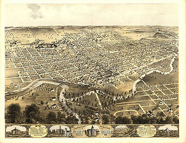
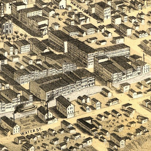
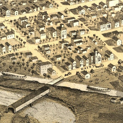
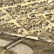
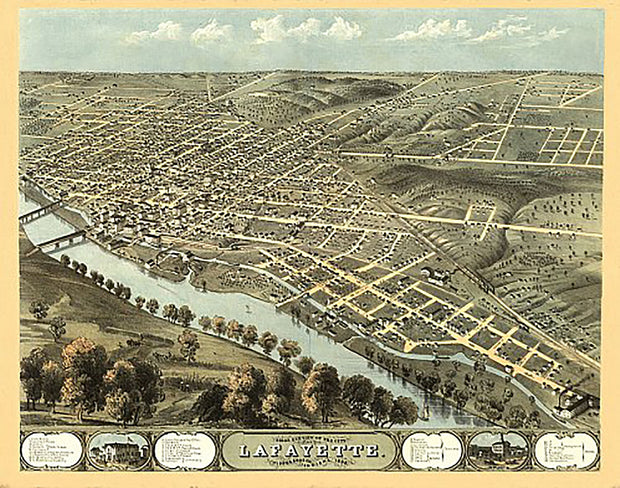
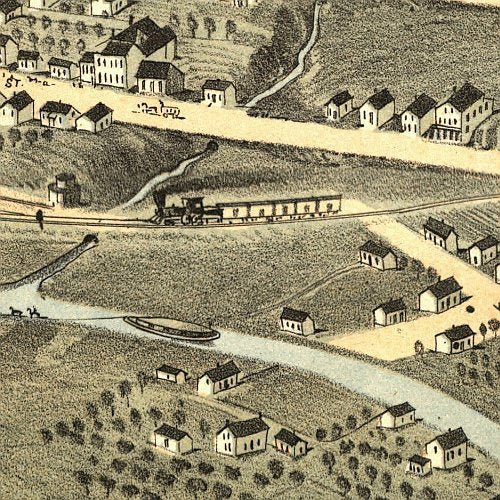
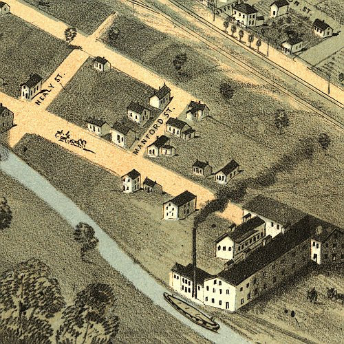
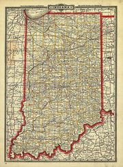
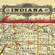
- Indiana
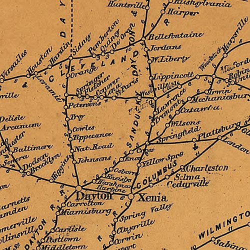
- Indiana: Historical Maps
- Indiana: Wall Maps
- Iowa
- Iowa: Wall Maps
- Kansas
- Kansas: Wall Maps
- Kentucky
- Kentucky: Historical Maps
- Kentucky: Wall Maps
- Louisiana
- Louisiana: Wall Maps
- Maine
- Maine: Wall Maps
- Maryland
- Maryland:
- Maryland: Historical Maps
- Maryland: Wall Maps
- Massachusetts
- Massachusetts: Historical Maps
- Massachusetts: Wall Maps
- Michigan
- Michigan: Wall Maps
- Minnesota
- Minnesota: Wall Maps
- Mississippi
- Mississippi: Wall Maps
- Missouri
- Missouri: Wall Maps
- Montana
- Montana: Historical Maps
- Montana: Wall Maps
- Nebraska
- Nebraska: Wall Maps
- Nevada
- Nevada: Wall Maps
- New Hampshire
- New Hampshire: Historical Maps
- New Hampshire: Wall Maps
- New Jersey
- New Jersey: Wall Maps
- New Mexico
- New Mexico: Wall Maps
- New York
- New York: City Wall Maps
- New York: Historical Maps
- New York: Wall Maps
- NMTOPO
- North Carolina
- North Carolina: Wall Maps
- North Dakota
- North Dakota: Wall Maps
- Ohio
- Ohio: Historical Maps
- Ohio: Wall Maps
- Oklahoma
- Oklahoma: Wall Maps
- Oregon
- Oregon: Wall Maps
- Pennsylvania
- Pennsylvania City Wall Maps
- Pennsylvania: Historical Maps
- Pennsylvania: Wall Maps
- Revolutionary War
- Rhode Island
- Rhode Island: Wall Maps
- South Carolina
- South Carolina: Wall Maps
- South Dakota
- South Dakota: Wall Maps
- Tennessee
- Tennessee: Wall Maps
- Texas
- Texas City Wall Maps
- Texas: Historical Maps
- Texas: Wall Maps
- USA Maps
- USA Wall Maps
- Utah
- Utah: Wall Maps
- Vermont
- Vermont: Historical Maps
- Vermont: Wall Maps
- Virginia
- Virginia: Historical Maps
- Virginia: Virginia Cities
- Virginia: Virginia State Maps
- Virginia: Wall Maps
- Washington
- Washington City Wall Maps
- Washington DC
- Washington DC: City Wall Maps
- Washington DC: Historical Maps
- Washington DC: Wall Maps
- Washington: Wall Maps
- West Virginia
- West Virginia: Wall Maps
- Wisconsin
- Wisconsin: Wall Maps
- Wyoming
- Wyoming: Wall Maps
Quick view
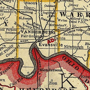
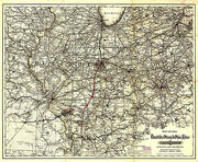
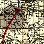
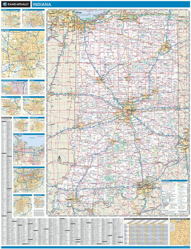
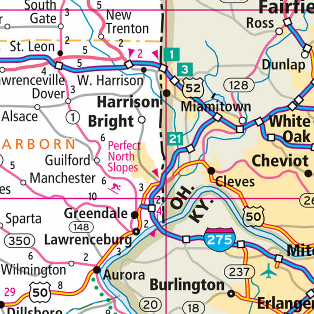
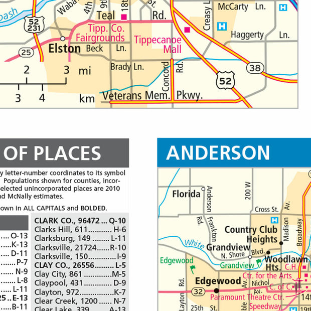
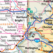
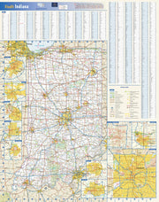
Indiana by Rand McNally
$229.00
Quick view
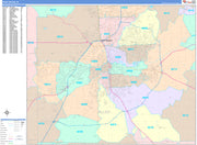
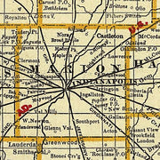
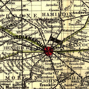
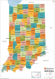
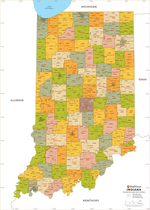
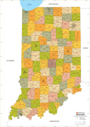
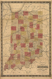
Indiana County Map
from $29.95
Quick view
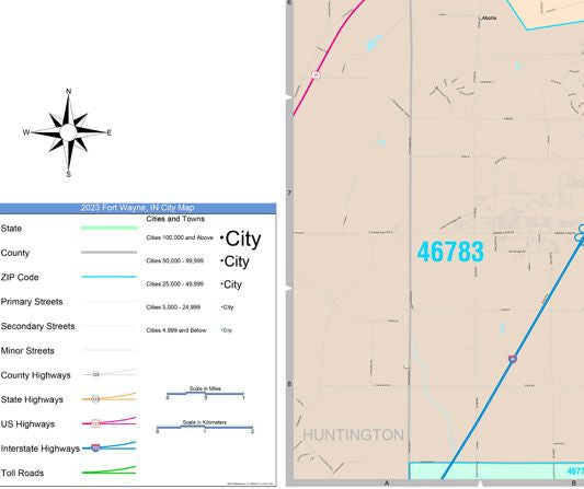
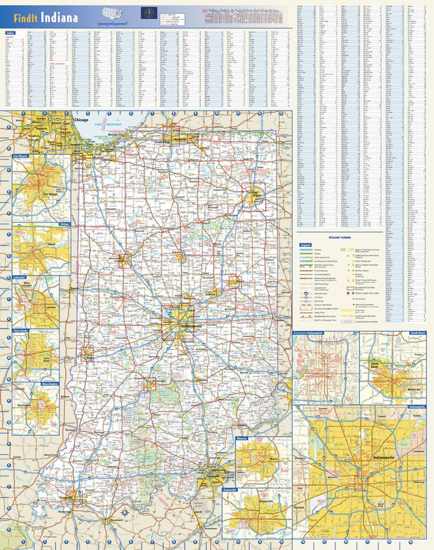
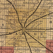
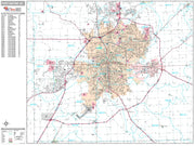
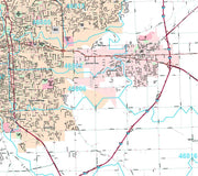
Indiana Wall Map by Globe Turner
from $29.95
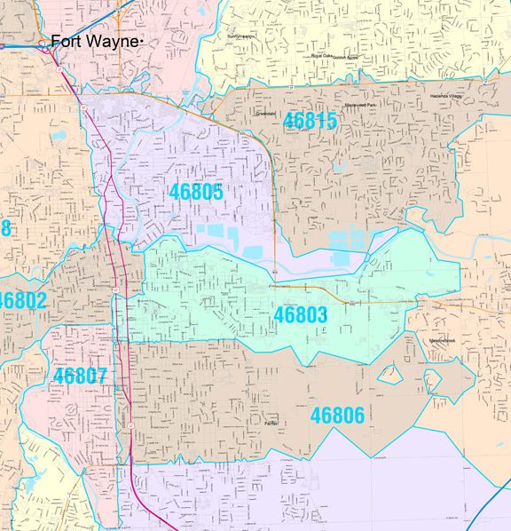
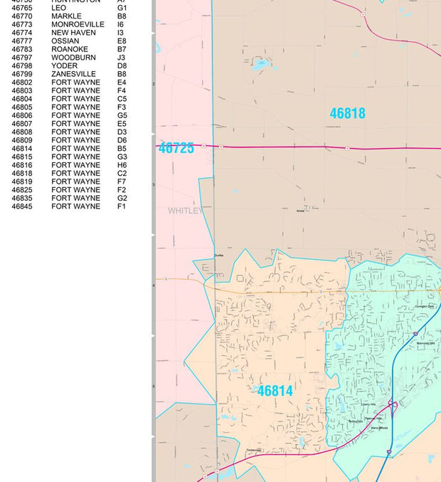
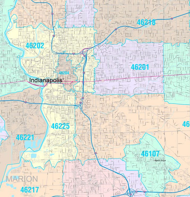
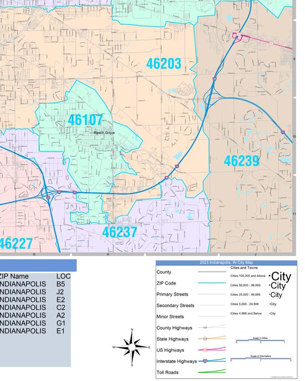
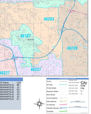
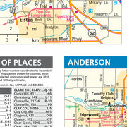
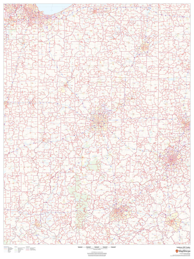
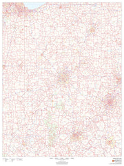
Quick view
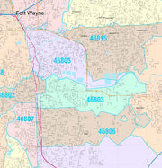
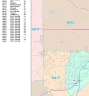
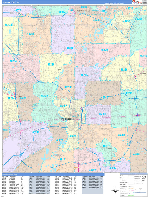
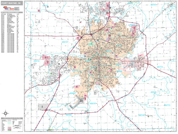
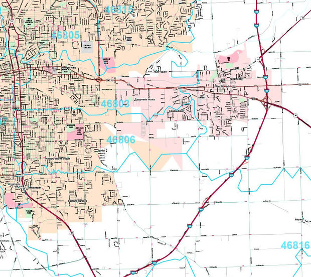
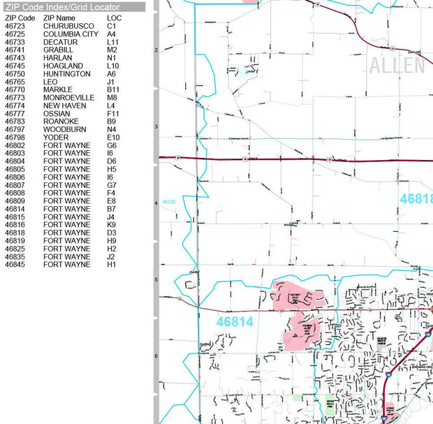
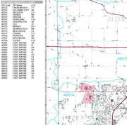
Indiana Zip Code Map
from $59.95
Quick view
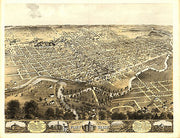
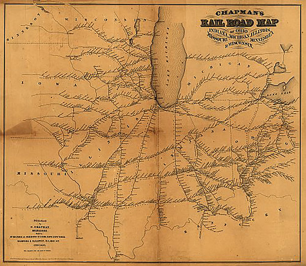
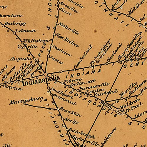
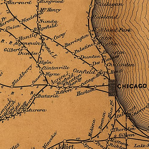
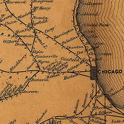
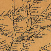
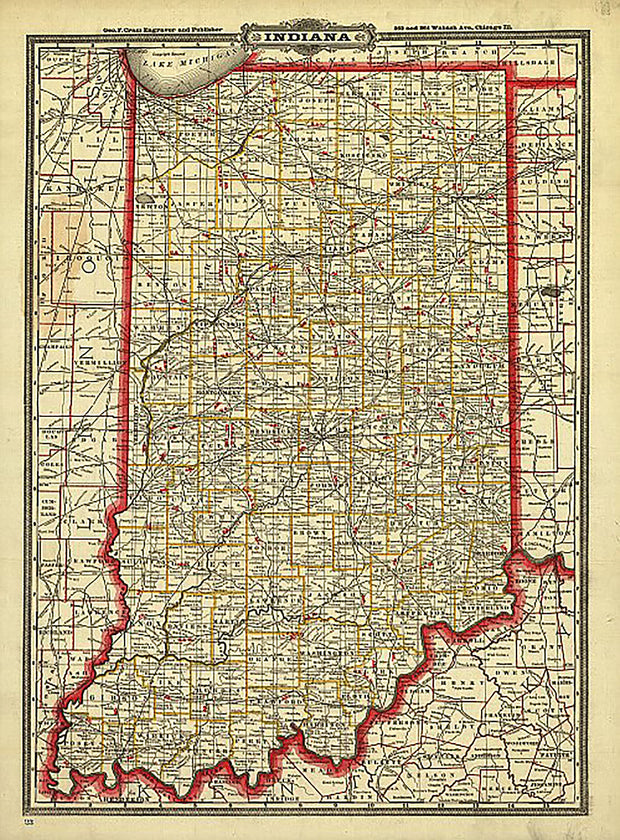
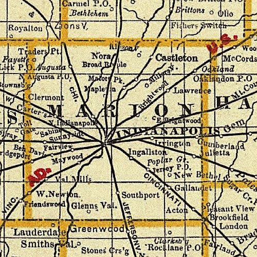
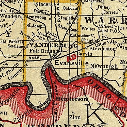
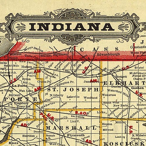
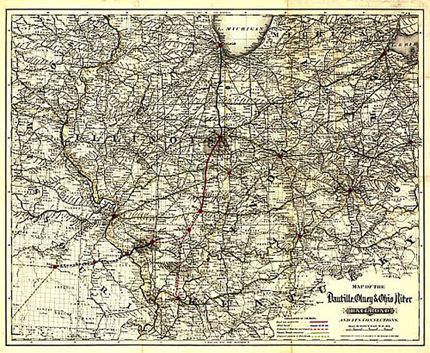
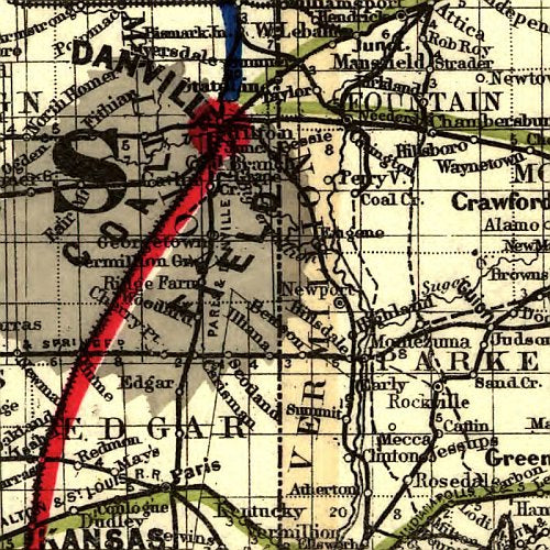
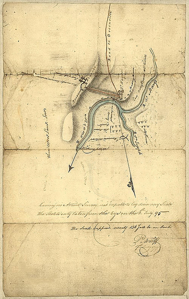
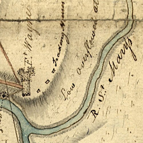
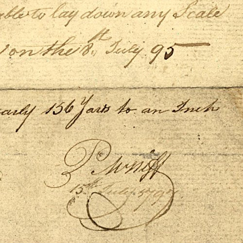
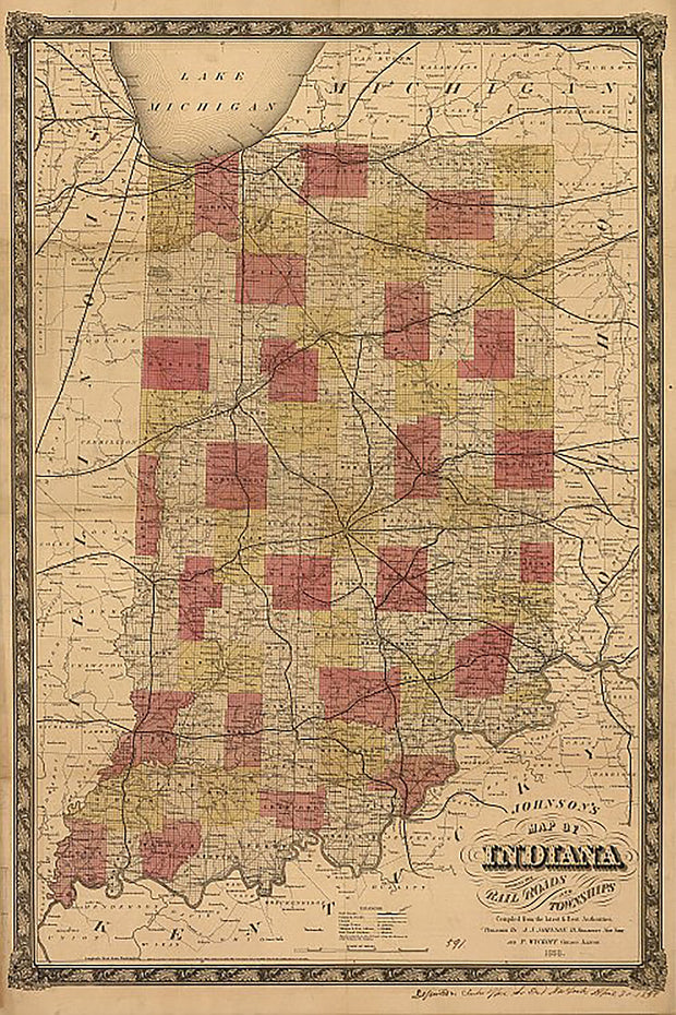
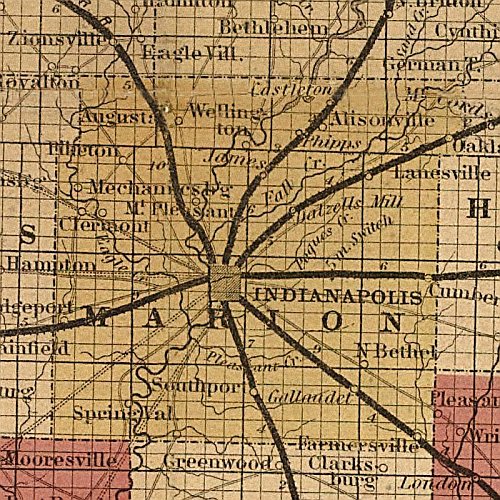
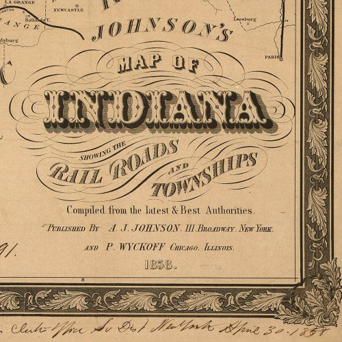
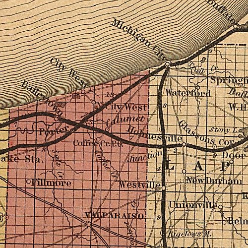
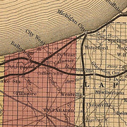
Johnson's map of Indiana, 1858
$39.95