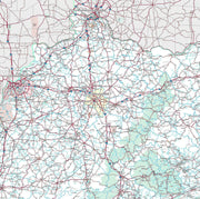
Map of the city of Louisville, Kentucky, New Albany & Jeffersonville, Indiana by Wm. C. Coghlan, 1873
KY00011
Regular price
$39.95
Map of the city of Louisville, Kentucky, New Albany & Jeffersonville, Indiana by Wm. C. Coghlan, 1873 This beautiful antique map reproduction is printed on heavy acid-free stock with fade proof inks and is excellent for framing.
Save money on our full line of wall maps from one of the industry leaders in wall maps. These always up to date, eye catching wall maps come in a variety of sizes and finishing options sure to meet your specific mapping needs.
Features include:
Interstate/Us/State Highways
5-Digit ZIP Codes
County Names and boundaries
Cities and Towns as applicable
All water
Institutions
Cemetery
Airports
Golf Courses
Parks
Populated Places Shaded
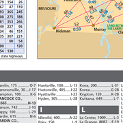
ZIP Code index with grid locator
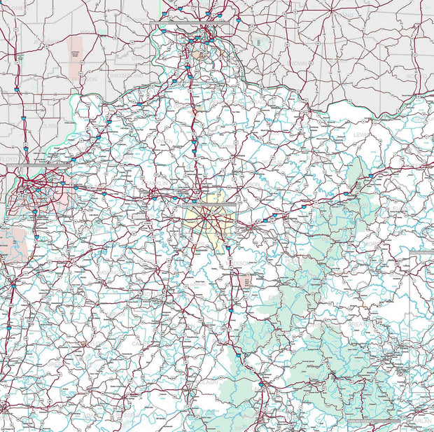
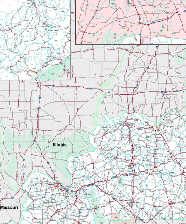
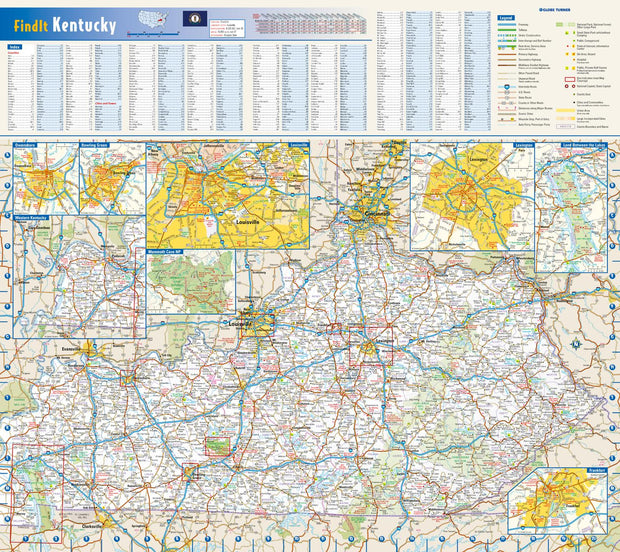
Kentucky Wall Map by Globe Turner
KYWM002-1
Regular price
$29.95
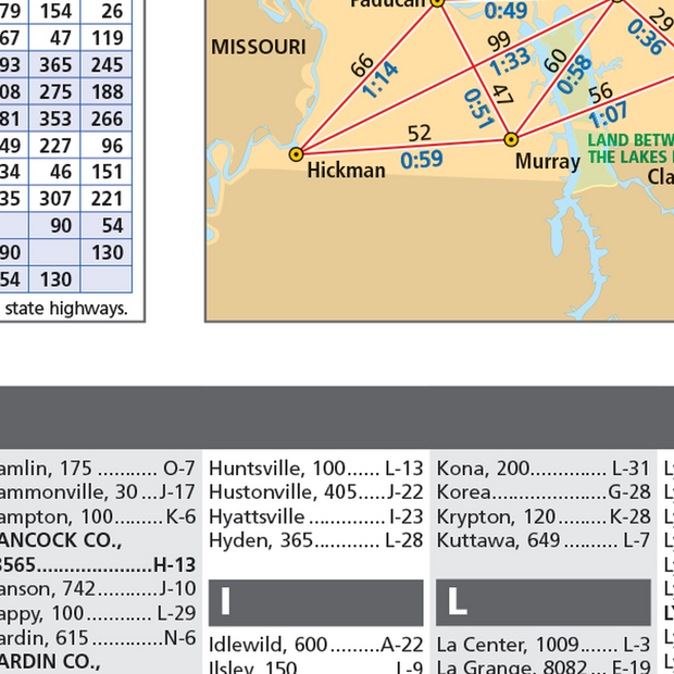
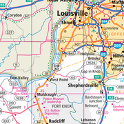
This colorful, easy-to-read state map of Kentucky identifies all major thoroughfares, secondary roads, freeway interchanges, rest areas, distance markers, landmarks, recreational areas, and more. Shaded relief on the state map provides a three-dimensional sense of Kentucky's topography. Detailed city inset maps of Bowling Green, Frankfort, Lexington, Louisville, and Owensboro are based on the latest street information from our cartographic experts. Up-to-date insets of Mammoth Cave National Park and Land Between the Lakes National Recreation Area provide must-see information on these tourist areas. County and city indices make it simple to locate even the smallest town.
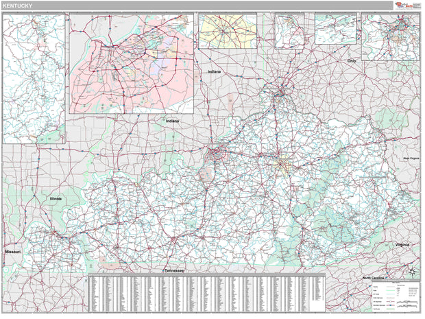
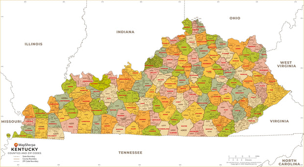
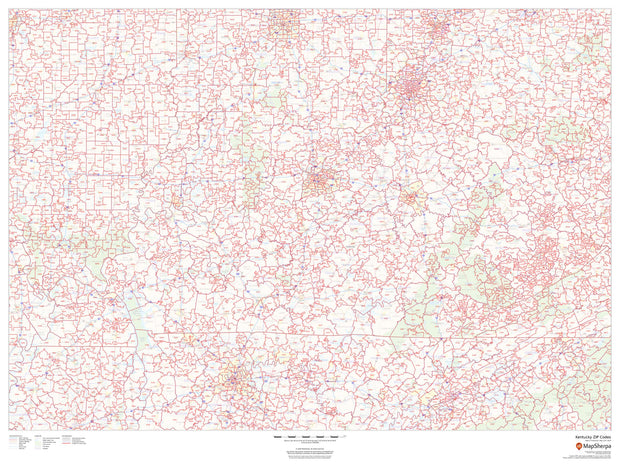
Kentucky Zip Code Map with Counties
KYWM005-1
Regular price
$39.95
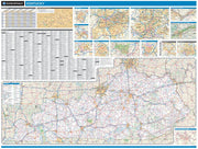
This map has been created and designed for business or reference use. Clear and clean colors & fonts matched with cartographic research makes this Kentucky Zip Code Map with Counties easily readable and useful. The map shows the 120 counties of Kentucky and the borders of the 761 zip codes across the Bluegrass State.
Kentucky Zip Code Map
KYWM003-1
Regular price
$59.95
This map of Kentucky shows ZIP codes overlaid on a road map. Base map features include municipality and county boundaries, major road network features, and state and national parks and conservation areas.