Products
- Arizona City Wall Maps
- Arizona: Wall Maps
- Arkansas
- Arkansas: Wall Maps
- ARTOPO
- AZTOPO
- California
- California City Wall Maps
- California State Maps
- California: Historical Maps
- California: Wall Maps
- CATOPO
- Civil War
- Civil War: Georgia Civil War
- Civil War: Maryland Civil War
- Civil War: Pennsylvania Civil War
- Civil War: Tennessee Civil War
- Civil War: United States Civil War
- Civil War: Virginia Civil War
- Classroom Maps
- Colorado
- Colorado City Maps
- Colorado City Wall Maps
- Colorado State Maps
- Colorado: Historical Maps
- Colorado: Wall Maps
- Congressional Districts
- Connecticut
- Connecticut: Wall Maps
- COTOPO
- CTTOPO
- Delaware
- Delaware: Wall Maps
- DETOPO
- Educational Maps
- Florida
- Florida City Wall Maps
- Florida: Historical Maps
- Florida: Wall Maps
- FLTOPO
- GATOPO
- Georgia
- Georgia City Maps
- Georgia Historical Maps
- Georgia: Wall Maps
- Gift Certificate
- Hawaii
- Hawaii City Maps
- Hawaii: Wall Maps
- HITOPO
- IATOPO
- Idaho
- Idaho: Wall Maps
- IDTOPO
- Illinois
- Illinois City Maps
- Illinois: Historical Maps
- Illinois: Wall Maps
- ILTOPO
- Indiana
- Indiana City Maps
- Indiana: Historical Maps
- Indiana: Wall Maps
- INTOPO
- Iowa
- Iowa: Wall Maps
- Kansas
- Kansas: Wall Maps
- Kentucky
- Kentucky City Maps
- Kentucky: Historical Maps
- Kentucky: Wall Maps
- KSTOPO
- KYTOPO
- LATOPO
- Louisiana
- Louisiana: Wall Maps
- Maine
- Maine: Wall Maps
- Maryland
- Maryland City Maps
- Maryland:
- Maryland: Historical Maps
- Maryland: Wall Maps
- Mass City Maps
- Massachusetts
- Massachusetts: Historical Maps
- Massachusetts: Wall Maps
- MATOPO
- MDTOPO
- METOPO
- Mexico Wall Maps
- Michigan
- Michigan: Wall Maps
- Minnesota
- Minnesota: Wall Maps
- Mississippi
- Mississippi: Wall Maps
- Missouri
- Missouri: Wall Maps
- MITOPO
- MNTOPO
- Montana
- Montana: Historical Maps
- Montana: Wall Maps
- MOTOPO
- MSTOPO
- MTTOPO
- NCTOPO
- NDTOPO
- Nebraska
- Nebraska: Wall Maps
- NETOPO
- Nevada
- Nevada: Wall Maps
- New Hampshire
- New Hampshire: Historical Maps
- New Hampshire: Wall Maps
- New Jersey
- New Jersey: Wall Maps
- New Mexico
- New Mexico: Wall Maps
- New York
- New York: City Wall Maps
- New York: Historical Maps
- New York: Wall Maps
- NHTOPO
- NJTOPO
- NMTOPO
- North Carolina
- North Carolina: Wall Maps
- North Dakota
- North Dakota: Wall Maps
- NVTOPO
- NYTOPO
- Ohio
- Ohio: Historical Maps
- Ohio: Wall Maps
- OHTOPO
- Oklahoma
- Oklahoma: Wall Maps
- OKTOPO
- Oregon
- Oregon: Wall Maps
- ORTOPO
- PATOPO
- Pennsylvania
- Pennsylvania City Wall Maps
- Pennsylvania: Historical Maps
- Pennsylvania: Wall Maps
- Revolutionary War
- Rhode Island
- Rhode Island: Wall Maps
- RITOPO
- SCTOPO
- SDTOPO
- South Carolina
- South Carolina: Wall Maps
- South Dakota
- South Dakota: Wall Maps
- Tennessee
- Tennessee: Wall Maps
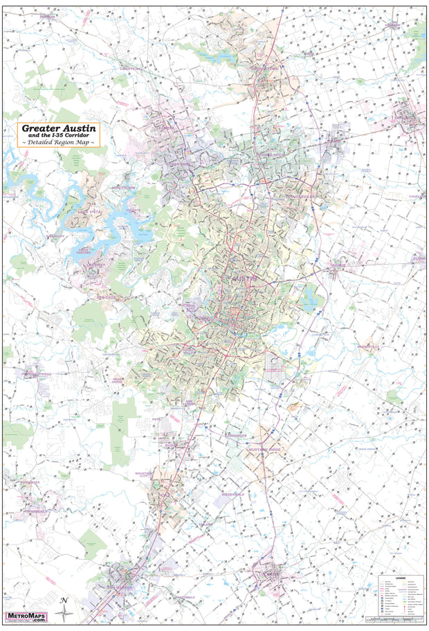
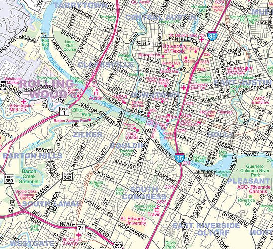
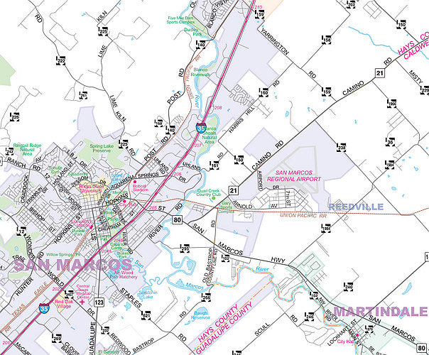
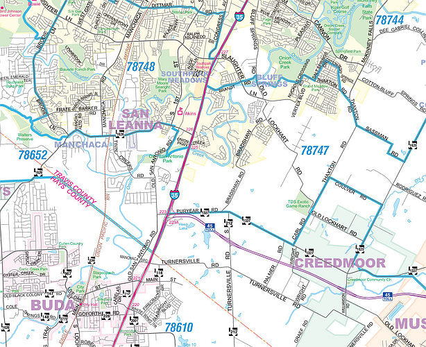
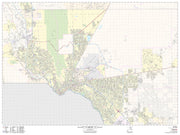
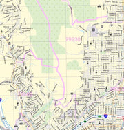
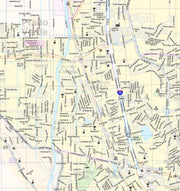
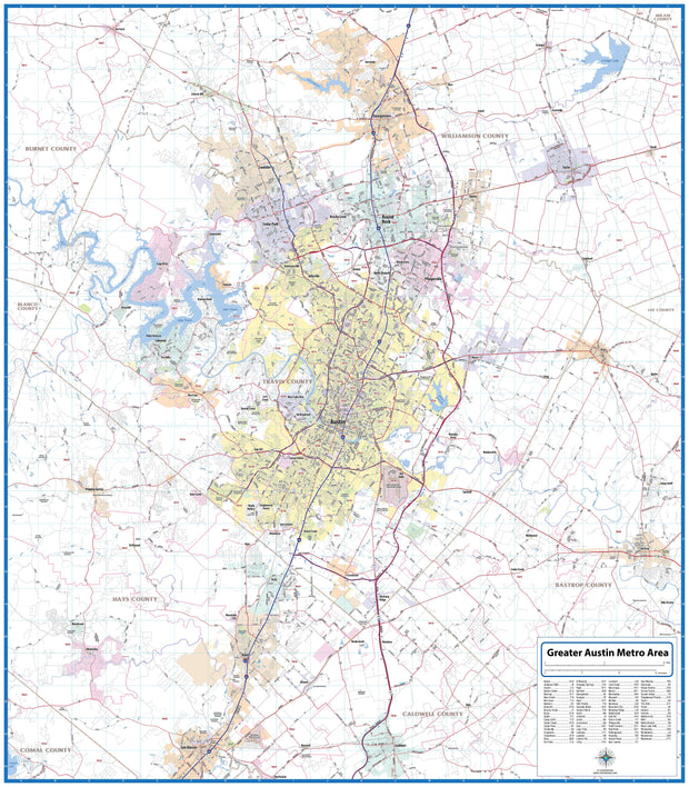
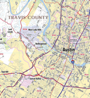
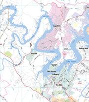
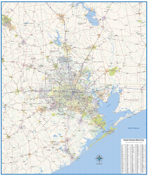
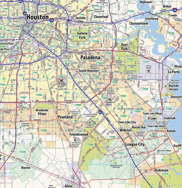
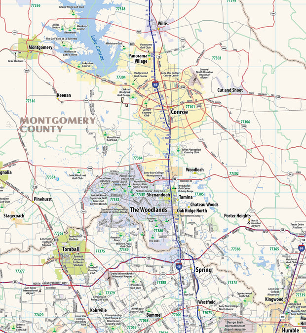
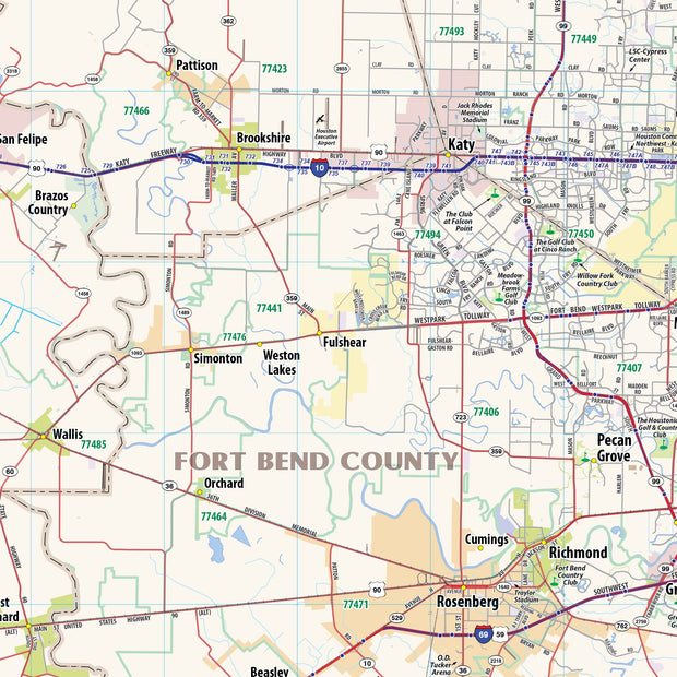
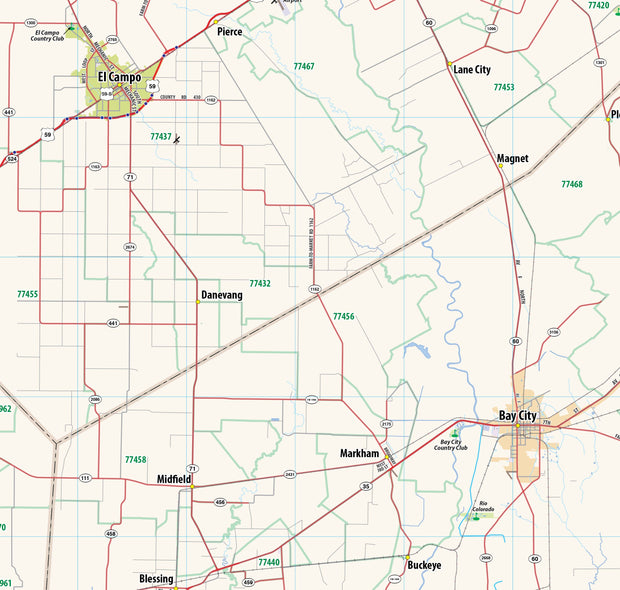
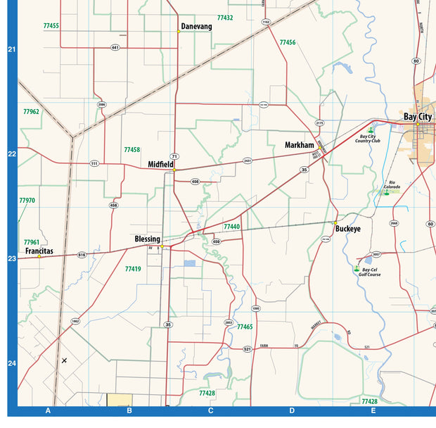
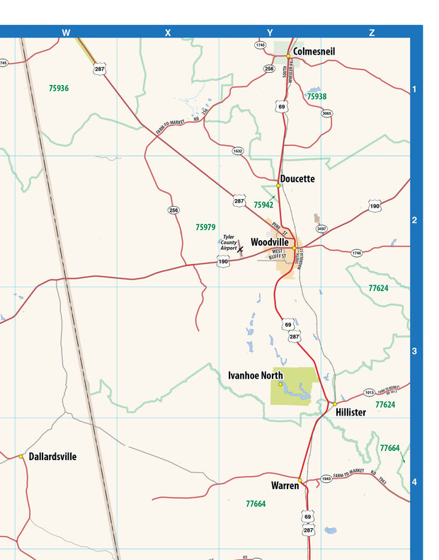
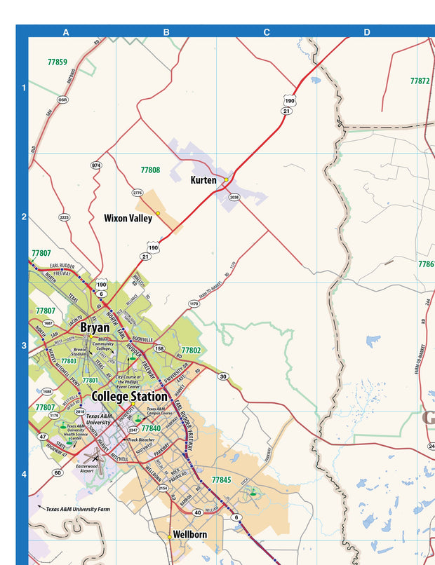
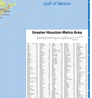
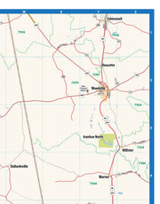
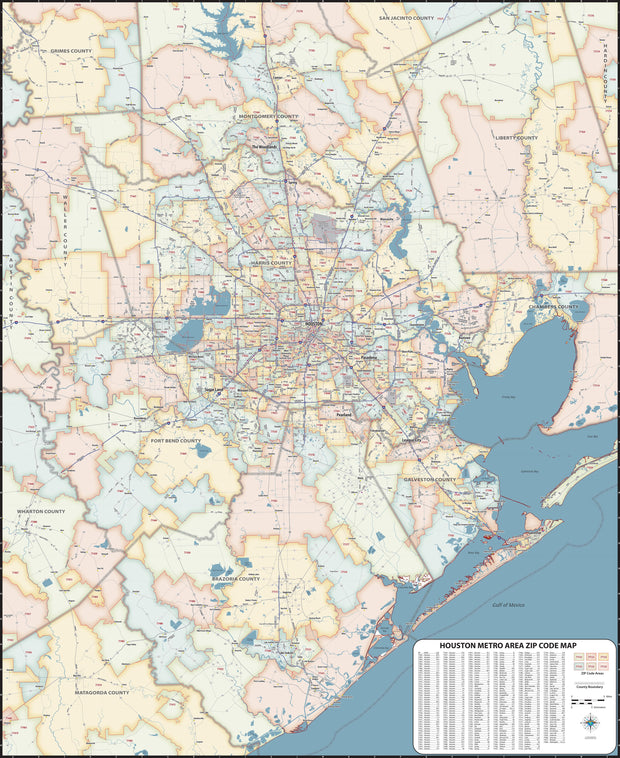
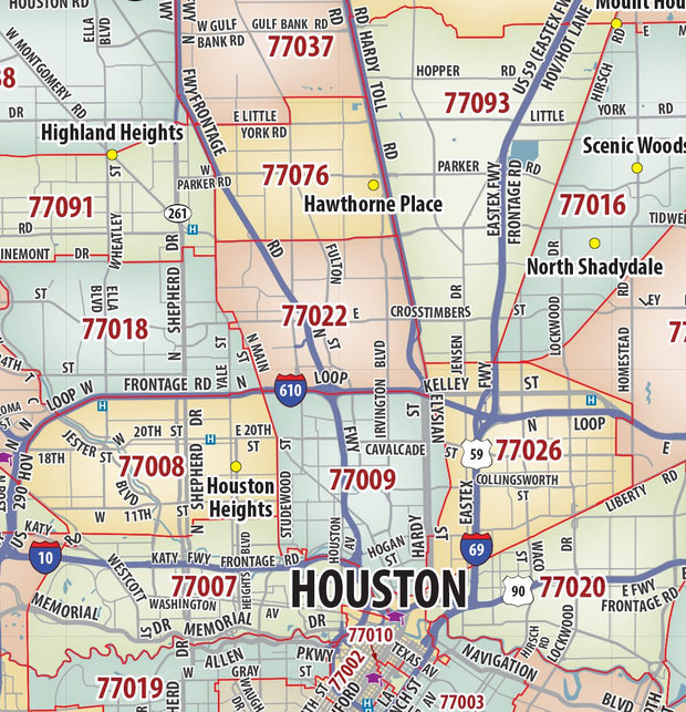
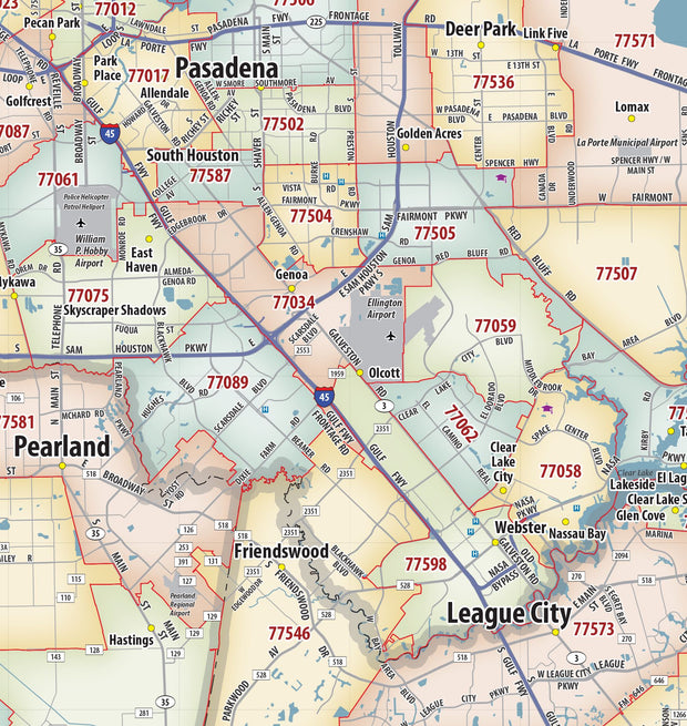
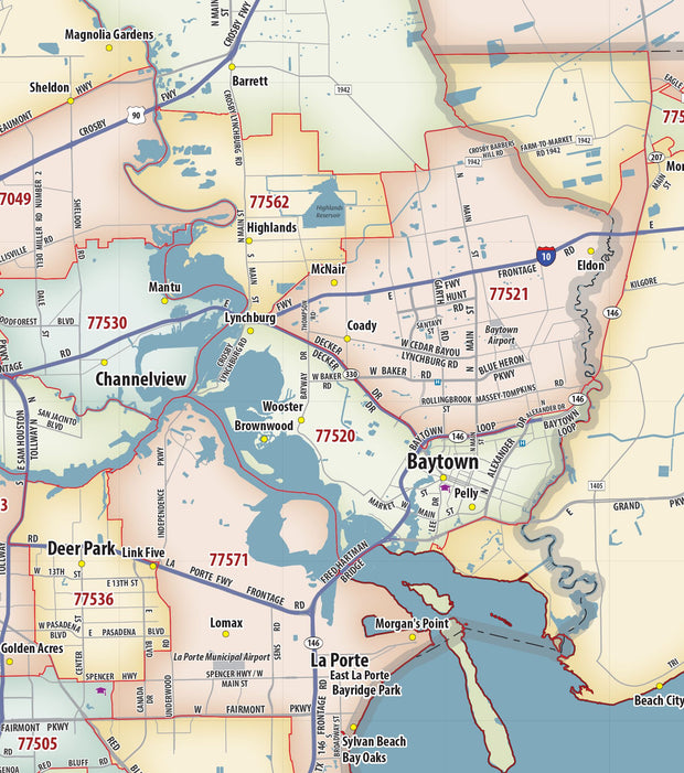
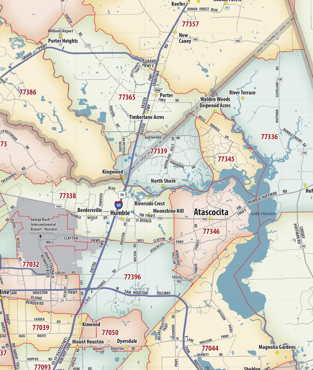
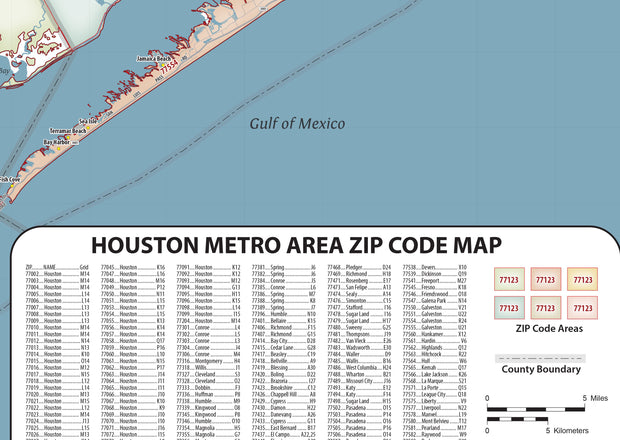
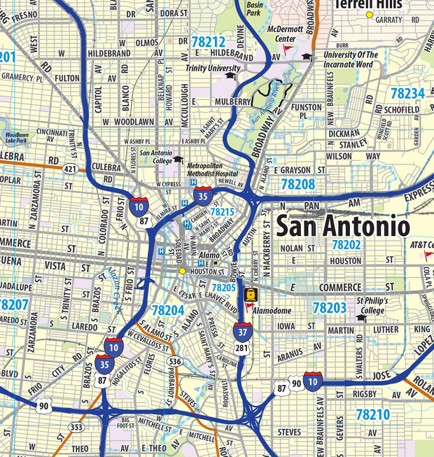
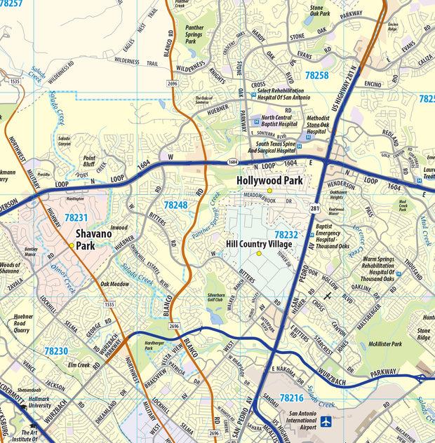
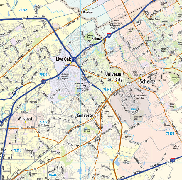
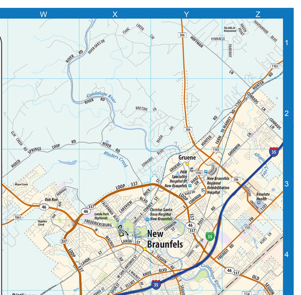
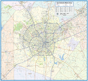
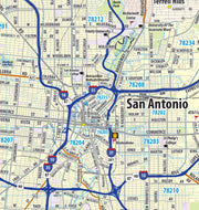
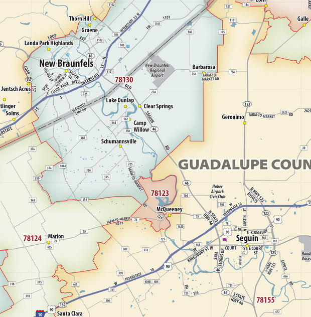
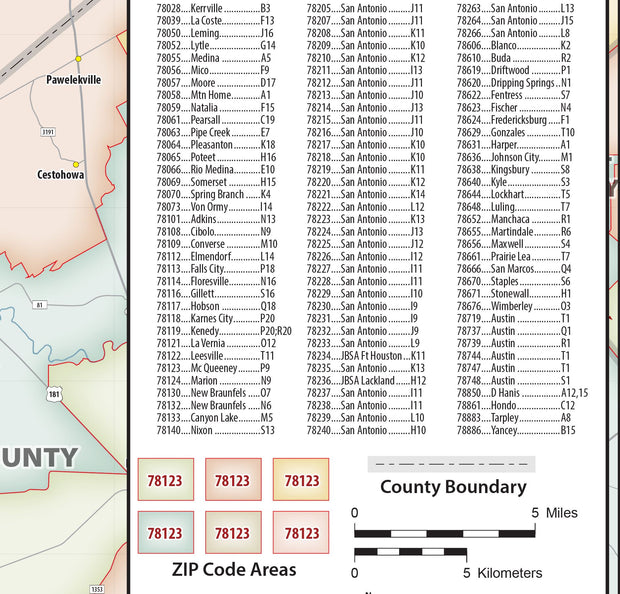
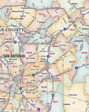
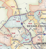
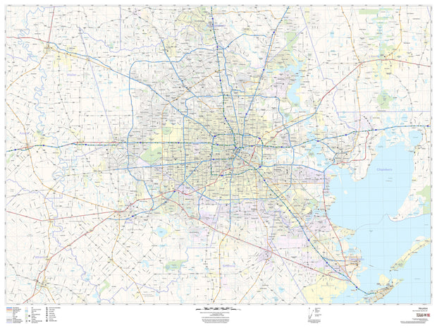
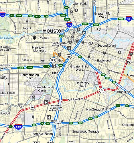
- Texas
- Texas City Wall Maps
- Texas: Historical Maps
- Texas: Wall Maps
- TNTOPO
- TXTOPO
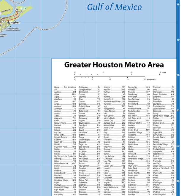
- US Regional
- USA Maps
- USA Wall Maps
- Utah
- Utah: Wall Maps
- UTTOPO
- VATOPO
- Vermont
- Vermont: Historical Maps
- Vermont: Wall Maps
- Virginia
- Virginia: Historical Maps
- Virginia: Virginia Cities
- Virginia: Virginia State Maps
- Virginia: Wall Maps
- VTTOPO
- Washington
- Washington City Wall Maps
- Washington DC
- Washington DC: City Wall Maps
- Washington DC: Historical Maps
- Washington DC: Wall Maps
- Washington: Wall Maps
- WATOPO
- West Virginia
- West Virginia: Wall Maps
- Wisconsin
- Wisconsin: Wall Maps
- WITOPO
- world wall maps
- WVTOPO
- Wyoming
- Wyoming: Wall Maps
- WYTOPO
Quick view
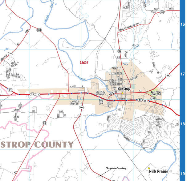
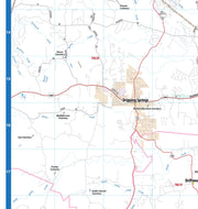
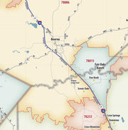
Bastrop County Tx Wall Map
from $79.95
Quick view
Big Bend National Park
from $49.95
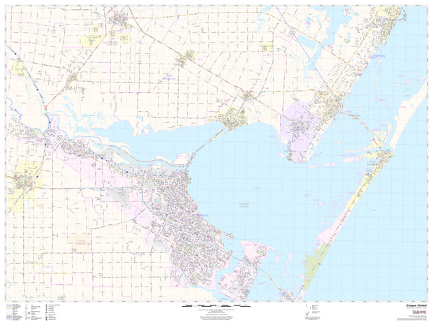
Quick view
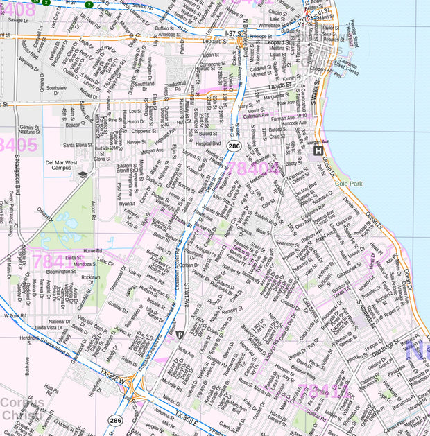
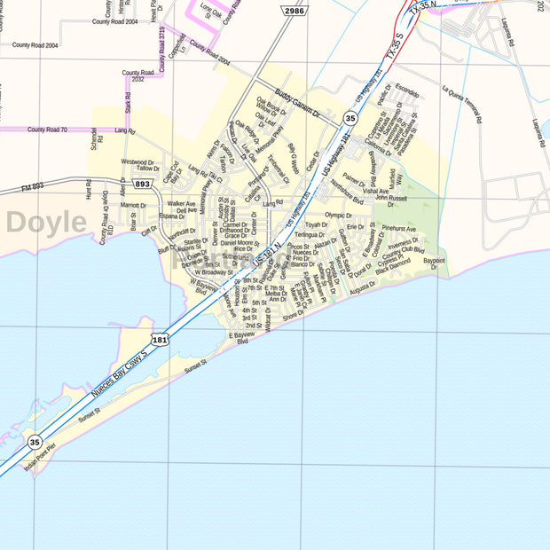
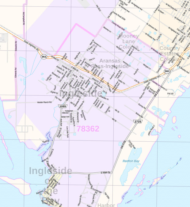
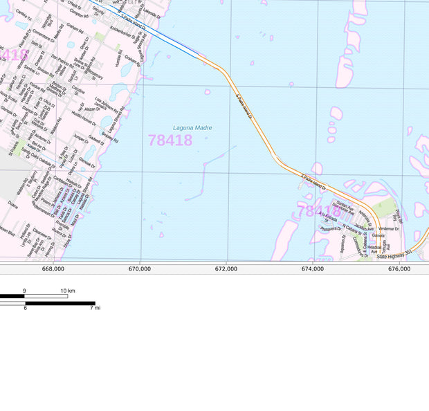
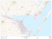
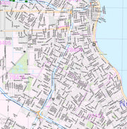
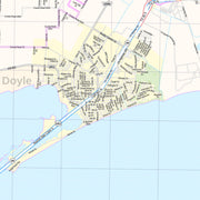
Corpus Christi Area Wall Map
from $79.95
Quick view
DFW Area Satellite View Wall Map
from $99.95
Quick view
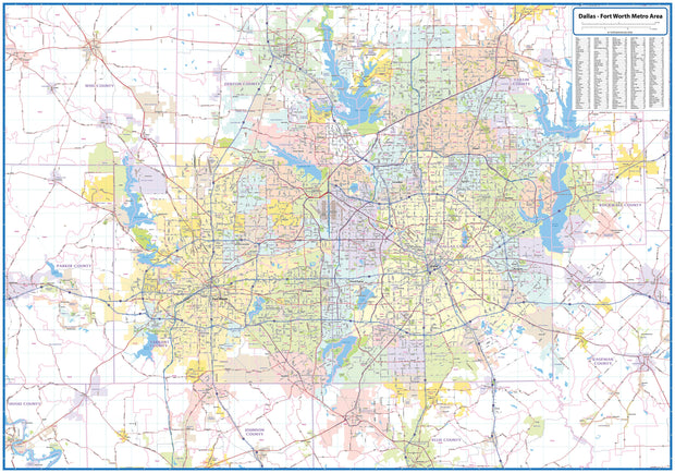
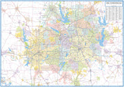
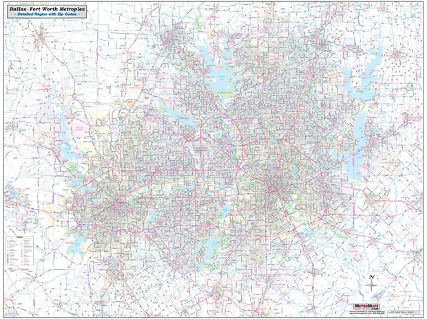
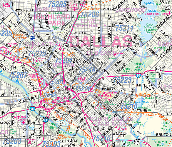
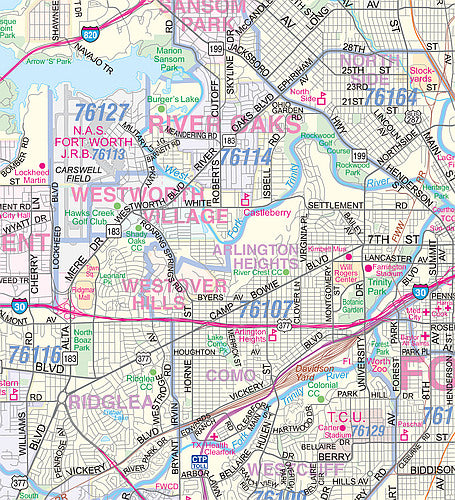
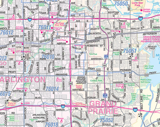
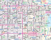
DFW Greater Metro Area Wall Map
from $99.95
Quick view
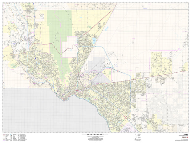
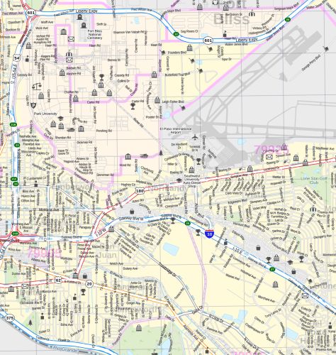
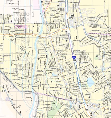
El Paso Area Wall Map
from $135.00