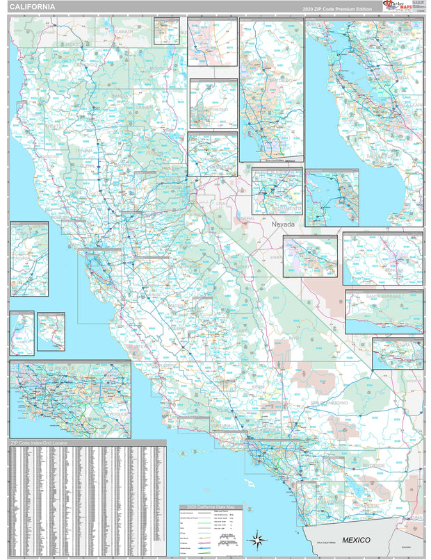
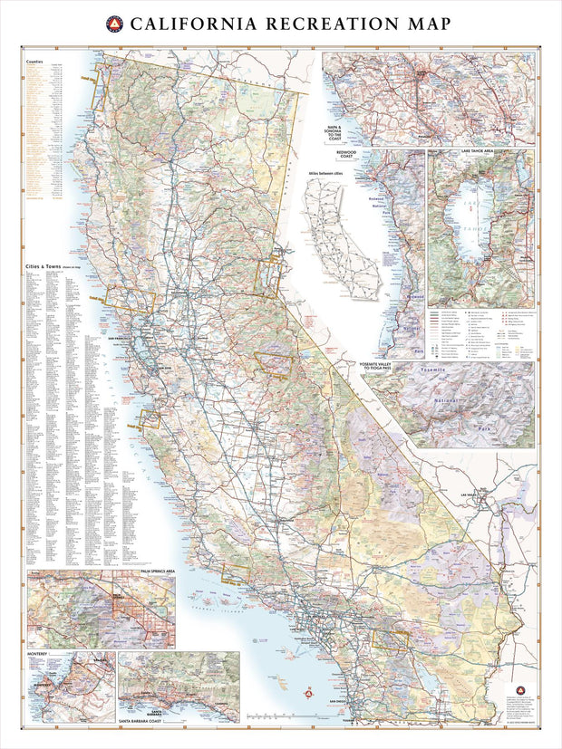
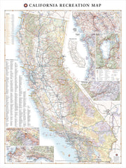
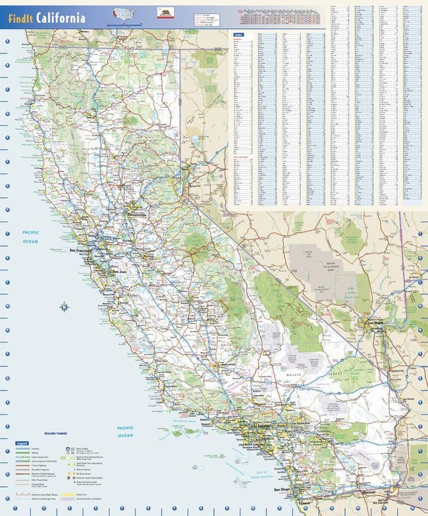
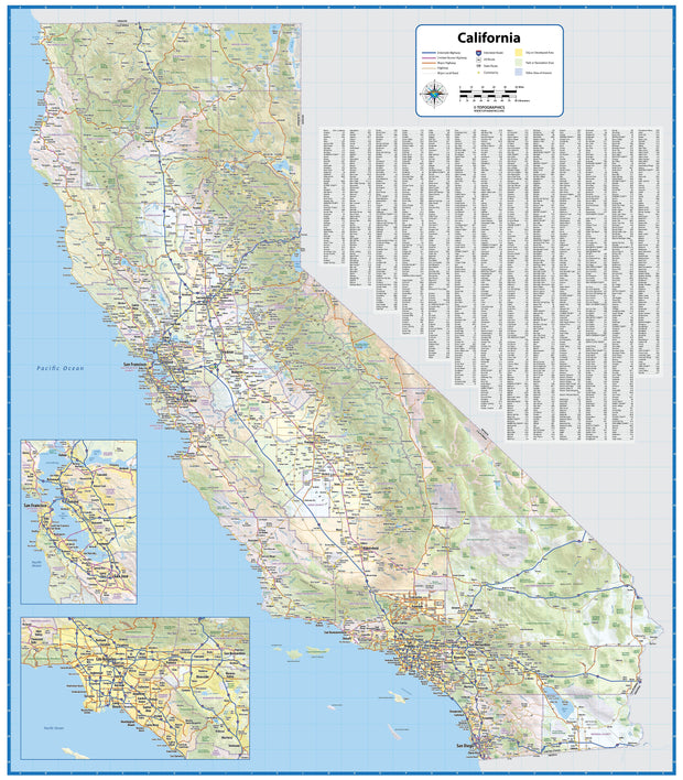
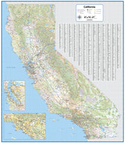
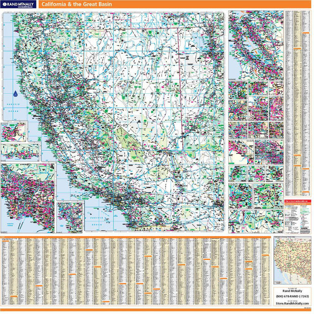
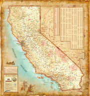
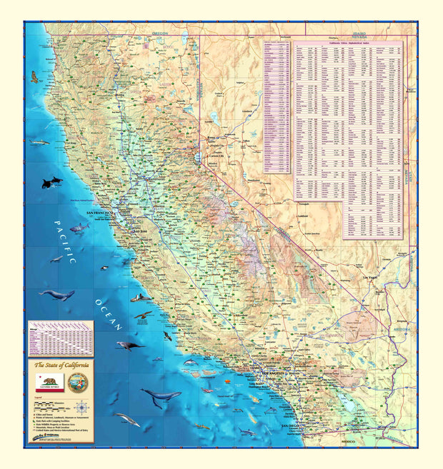
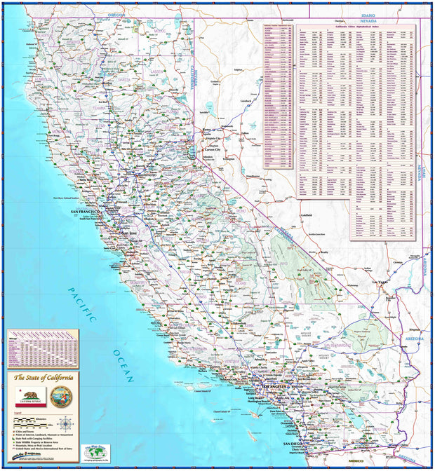
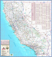
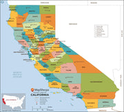
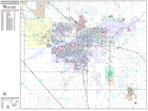
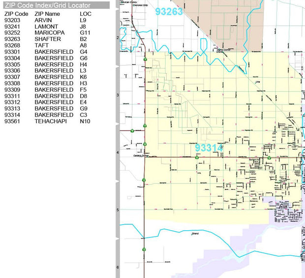
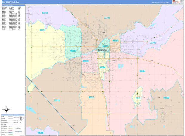
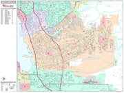
Rand McNally's state wall map of California is ideal for anyone needing a comprehensive representation of the area for planning, routing, or reference. It is an excellent choice for business and sales strategy, urban development, social work outreach, education, and marketing. State residents, businesses, and government offices are sure to find this wonderful reference tool irreplaceable.
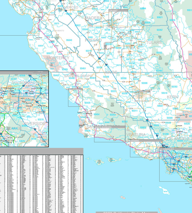
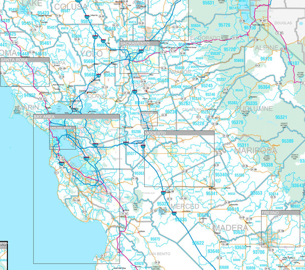
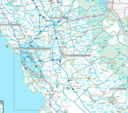
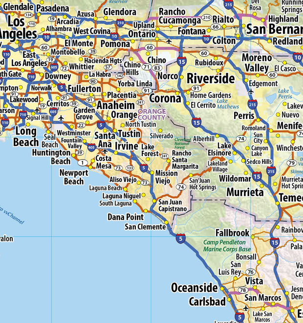
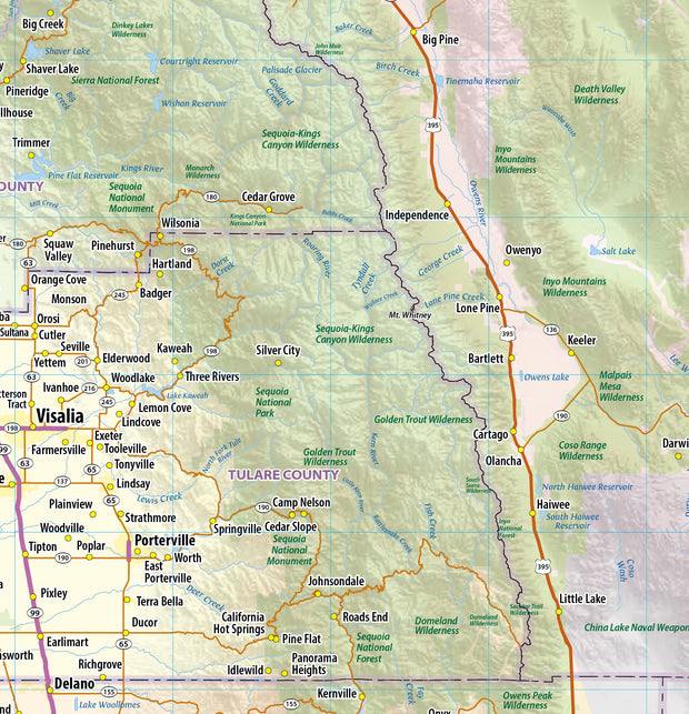
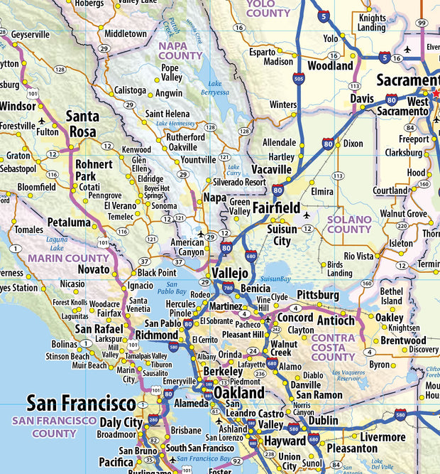
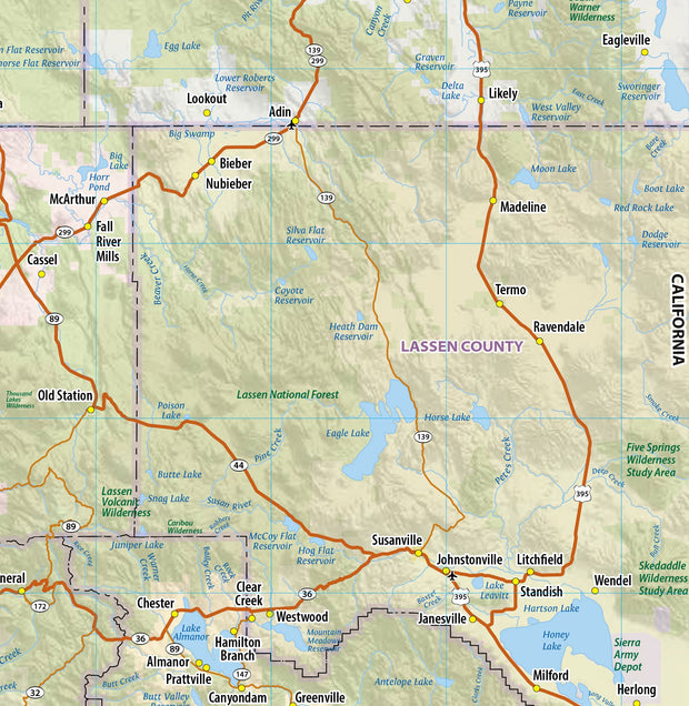
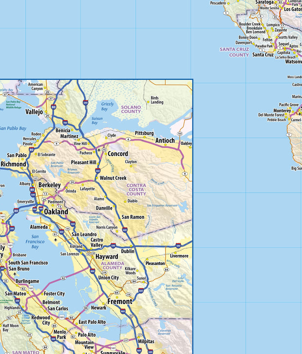
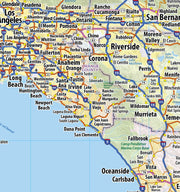
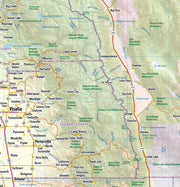
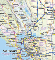
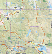
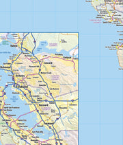
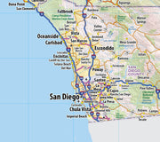
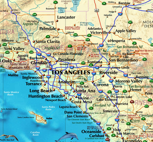
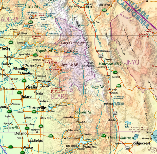
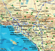
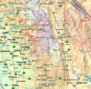
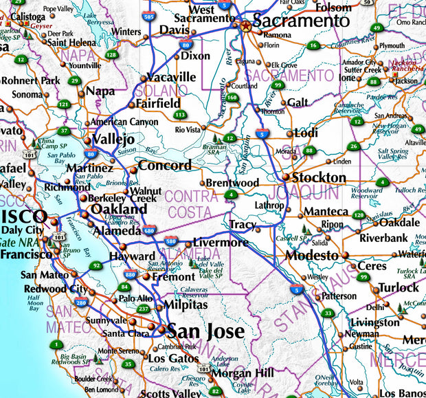
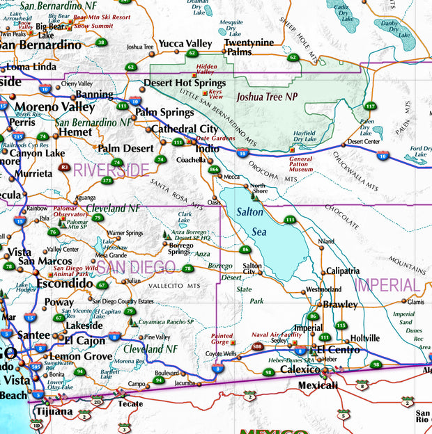
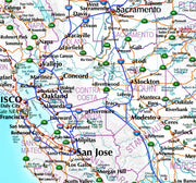
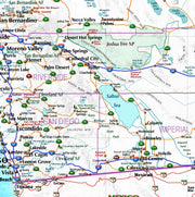
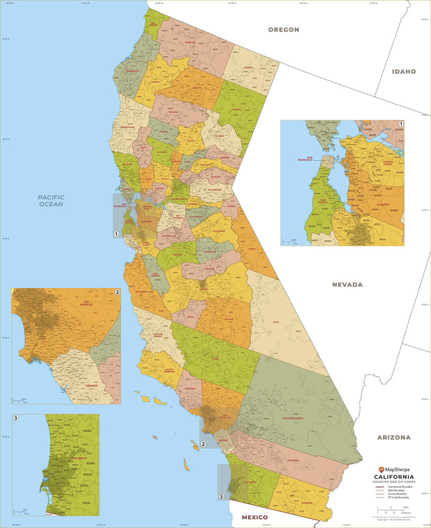
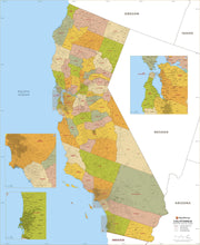
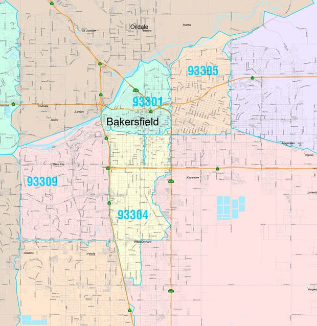
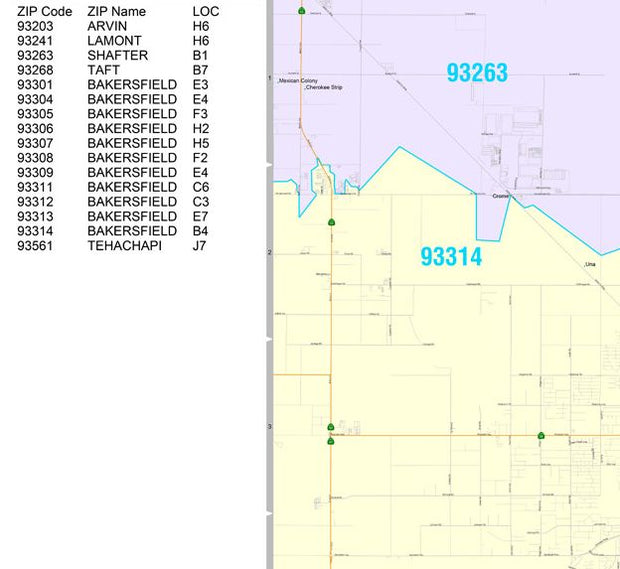
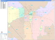
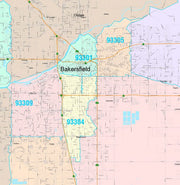
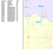
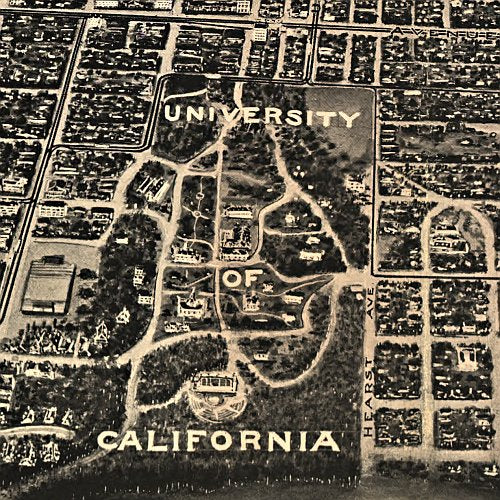
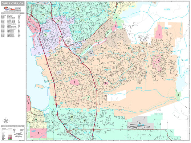
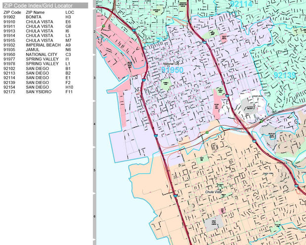
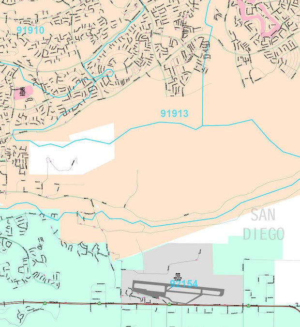
Inset maps: Bakersfield, Coachella Valley: Palm Springs to Indio, Fresno, Joshua Tree National Park, Kings Canyon National Park & Sequoia National Park, Lake Tahoe Region, Lancaster/Palmdale, Lassen Volcanic National Park, Los Angeles/The Inland Empire & Vicinity, Central Los Angeles, Monterey Bay Area: Santa Cruz/Monterey, Modesto, Oceanside, Oxnard/Ventura, Redding, Sacramento & Vicinity, San Diego & Vicinity, Central San Diego, San Francisco Bay Area: San Francisco/Oakland/San Jose, Central San Francisco, Santa Barbara, Santa Rosa, Stockton, Wine Country Region, and Yosemite National Park.
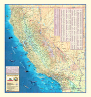
This map is rolled and shipped in a sturdy cardboard tube.