
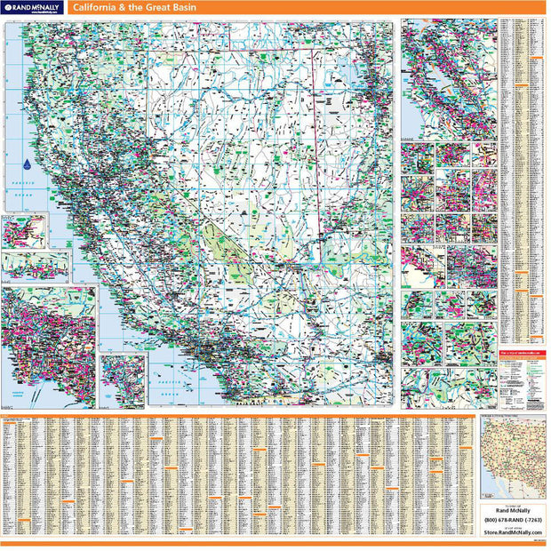
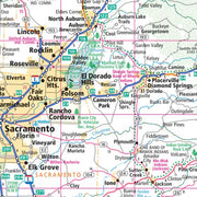
CAWM104
Rand McNally's ProSeries wall map of Riverside & San Bernardino Counties is ideal for anyone needing a comprehensive representation of the region for planning, routing, or reference. It's a great choice for business and sales strategy, urban development, social work outreach, education, and marketing.
Note: Please allow 7-10 days for map production and shipping. This map is not available for gift wrapping. Copyright 2008.
Coverage area extends:
Dimensions: 80" x 60"
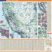
CAWM001

CAWM002
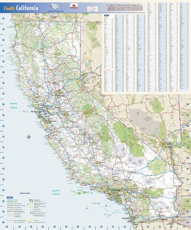
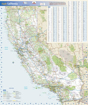
CAWM002-1
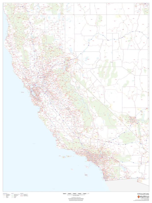

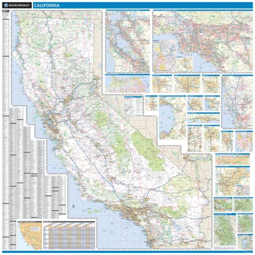
CAWM003-1
This map of California shows ZIP codes overlaid on a road map. Base map features include county boundaries, major road network features, and state and national parks and conservation areas.
36"W x48"H

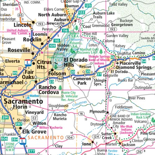
CAWM006-1
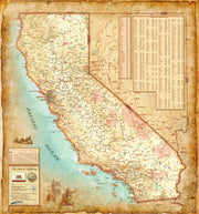
California Antique Wall Map
Introducing the California Antique Wall Map/Mural. Beautifully illustrated with subtle antique parchment and earth tone hues, the detail is highly legible with borders clearly defined. In this unique Antique style, this map can be used for general reference, to track current events, or as a piece of art. Decorators will find the color scheme works beautifully with dark wood furniture and trim. With flexible sizes this mural is a designer's delight.
This California Antique Wall Map features:
Welcome to the American Map Store
where every item has a free
shipping option!