Map of Colorado Territory embracing the Central Gold Region, 1862
CO00018
Regular price
$39.95
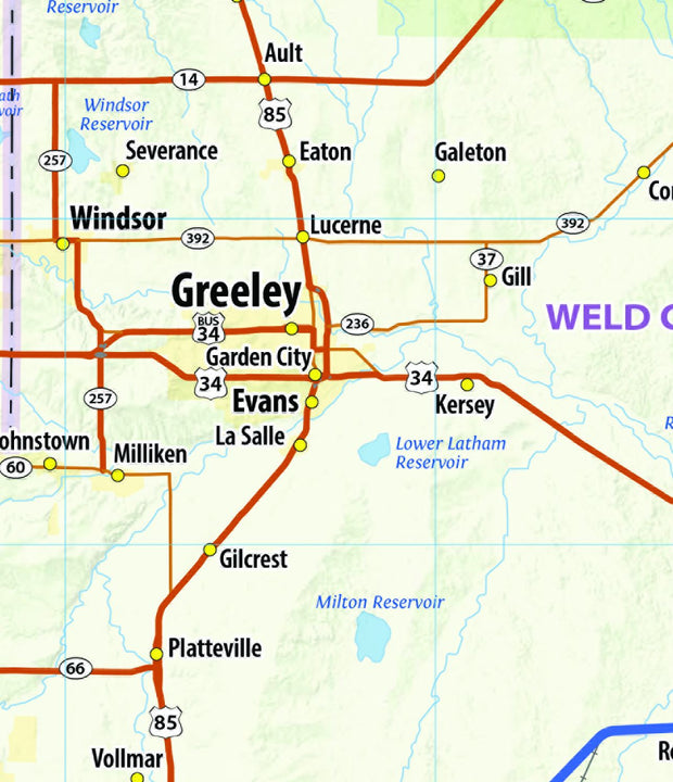
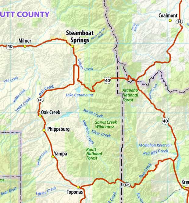
Map of Colorado Territory embracing the Central Gold Region / drawn by Frederick J. Ebert ; under direction of the Governor Wm. Gilpin. Ebert, Frederick J. CREATED/PUBLISHED Philadelphia : Jacob Monk, 1862 This beautiful antique map reproduction is printed on heavy acid-free stock with fade proof inks and is excellent for framing.
This exquisite wall map of Colorado uses shaded relief to portray the land and combines shading with elevation tints that portray landforms much more clearly than contour lines. These techniques and elevation colors make mountains, highlands and valleys immediately obvious.
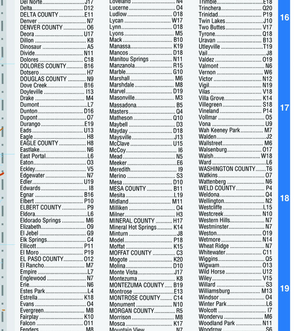
This map also includes a city index making this map both highly functional and decorative. Perfect for a home office, conference room or dispatch office, this map fits all your Colorado mapping needs.
62"W x 42"H
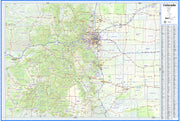
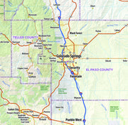
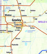
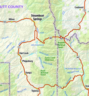
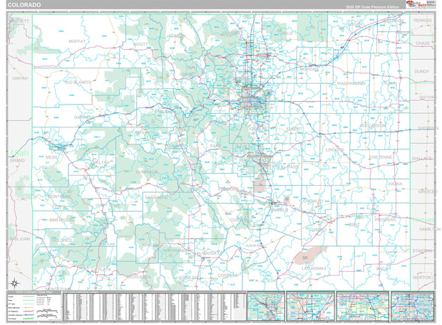
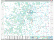
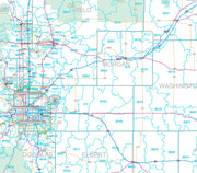
Premium Style Wall Map of Colorado by Market Maps
COWM006-1
Regular price
$118.75
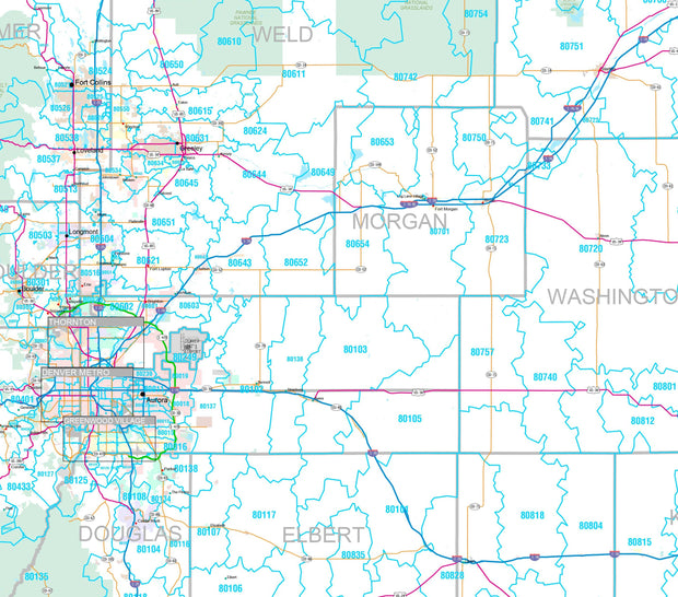
Save money on our full line of wall maps from one of the industry leaders in wall maps. These always up to date, eye catching wall maps come in a variety of sizes and finishing options sure to meet your specific mapping needs.
Features include:
Interstate/Us/State Highways
5-Digit ZIP Codes
County Names and boundaries
Cities and Towns as applicable
All water
Institutions
Cemetery
Airports
Golf Courses
Parks
Populated Places Shaded
ZIP Code index with grid locator
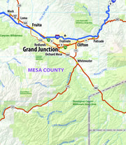
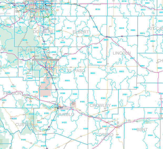
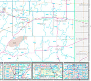
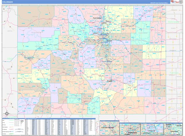
Colorcast Style Wall Map of Colorado by Market Maps
Regular price
$118.75
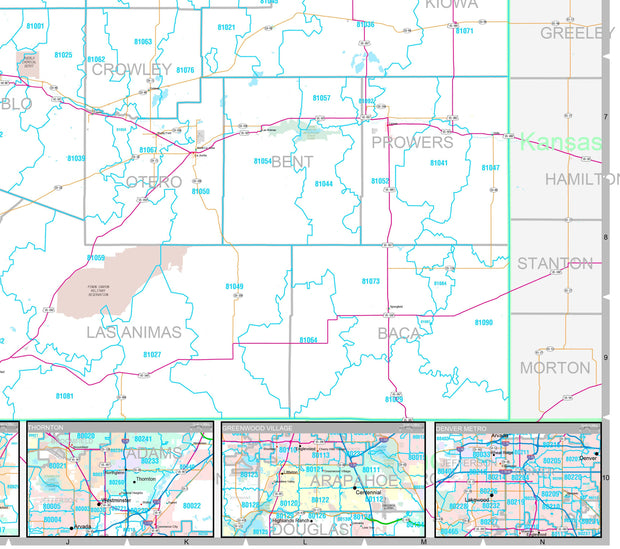
Save money on our full line of wall maps from one of the industry leaders in wall maps. These always up to date, eye catching wall maps come in a variety of sizes and finishing options sure to meet your specific mapping needs.
The Colorcast Style is perfect when you want to distinguish quickly and easily between counties.
Features include:
Interstate/Us/State Highways
5-Digit ZIP Codes
County Names and boundaries
Cities and Towns as applicable
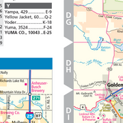
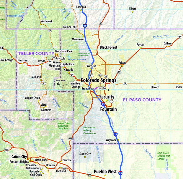
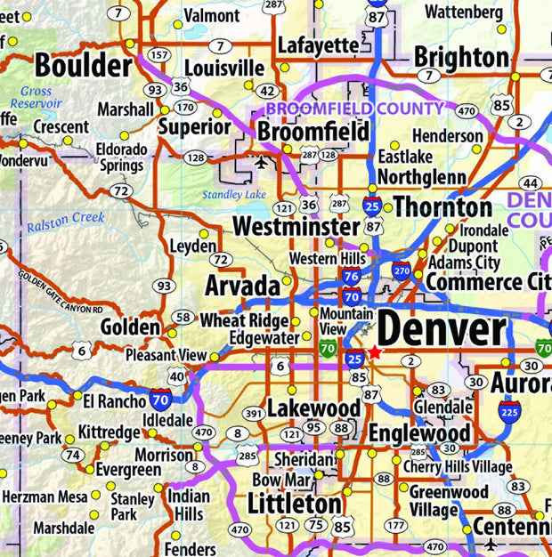
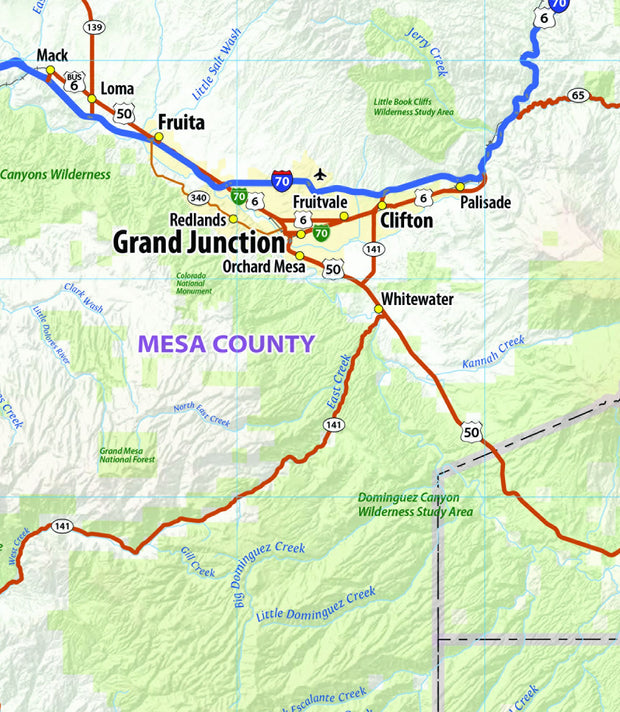
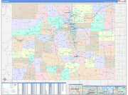
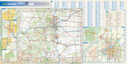
Colorado Wall Map by Globe Turner
COWM002-1
Regular price
$39.95
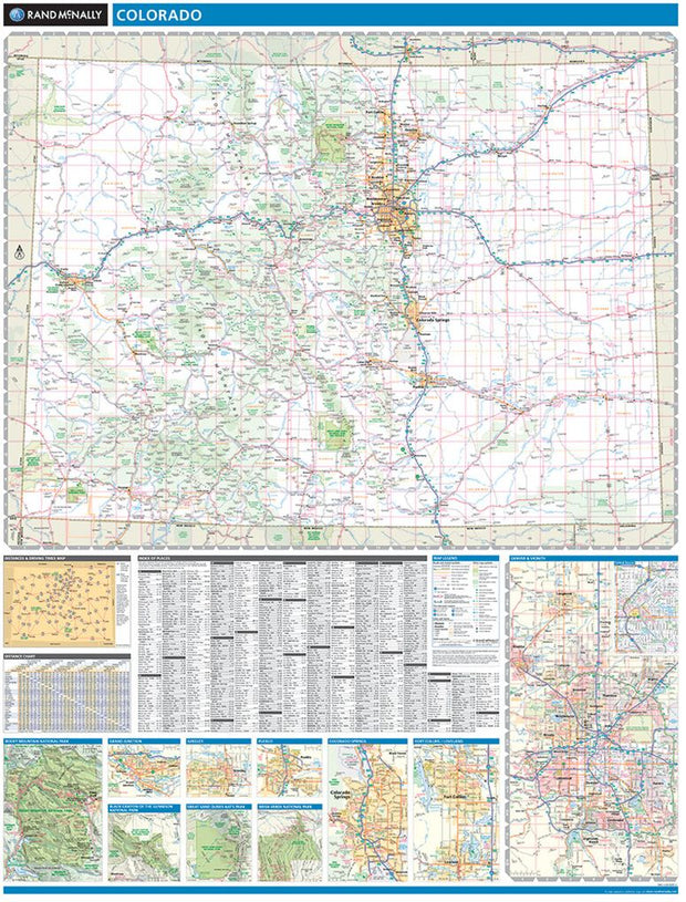
This colorful, easy-to-read state map of Colorado identifies all major thoroughfares, secondary roads, freeway interchanges, rest areas, distance markers, landmarks, recreational areas, and more. Shaded relief on the state map provides a three-dimensional sense of Colorado’s topography. Detailed city inset maps of Colorado Springs, Denver, Fort Collins, and Pueblo are based on the latest street information from our cartographic experts. The map also includes up-to-date insets of downtown Denver, Mesa Verde National Park and Rocky Mountain National Park. County and city indices make it simple to locate even the smallest town.