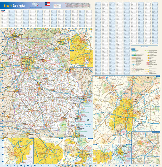
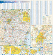
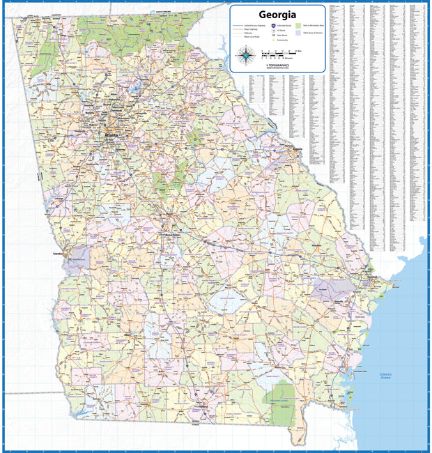
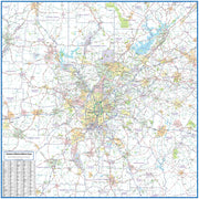
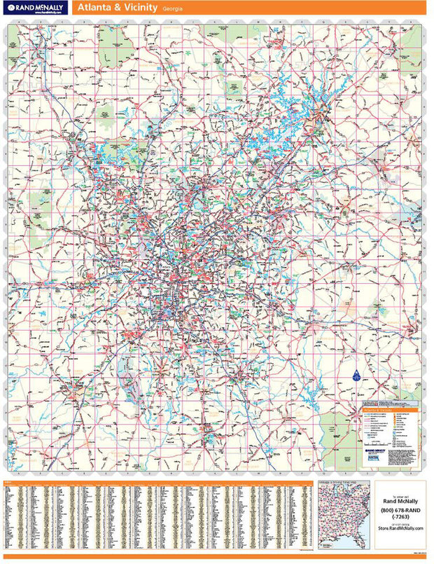
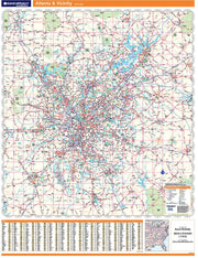
Explore Our Georgia Map Collection
Functional as well as decorative, discover Georgia from every angle and every generation with our collection of Georgia maps. This collection features several high-quality, current-state maps, city maps, and historical maps perfect for travel planning, business planning, or wall display. These maps are available in multiple sizes to suit your space or specific needs. Free shipping is offered on every map.
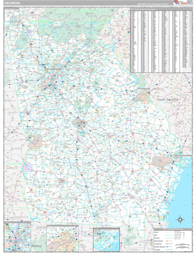
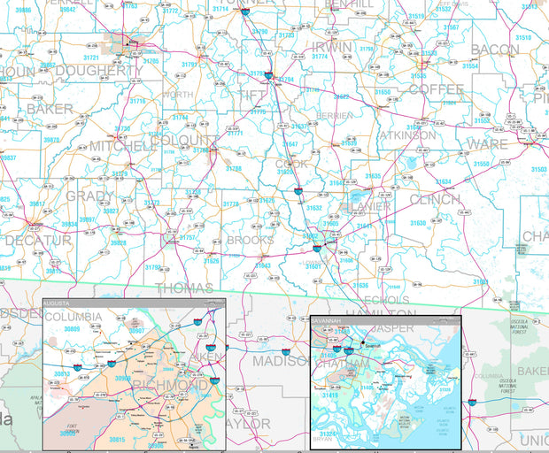
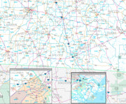
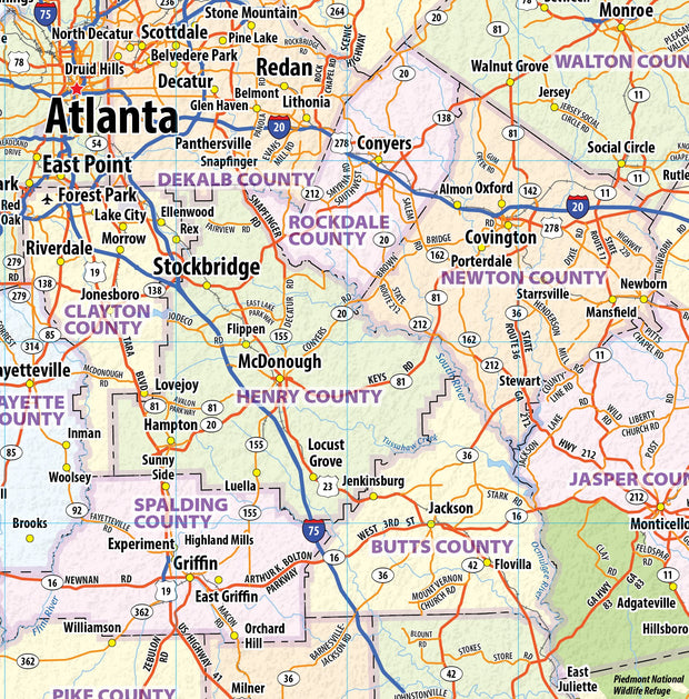
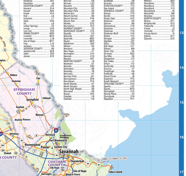
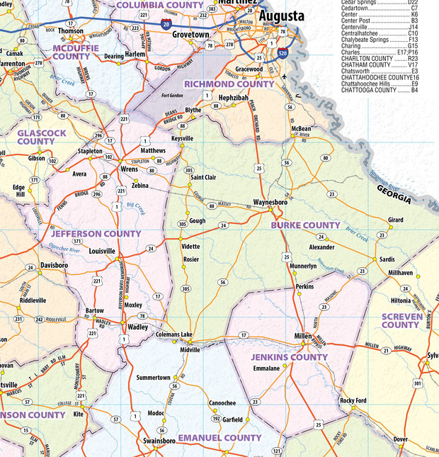
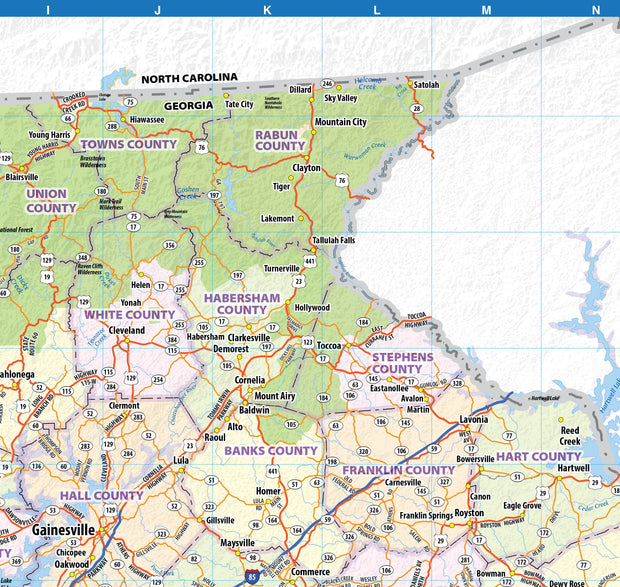
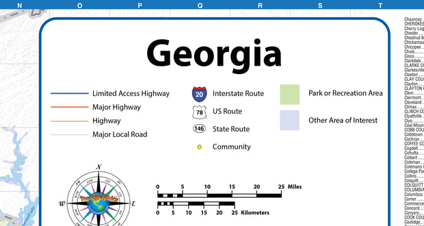
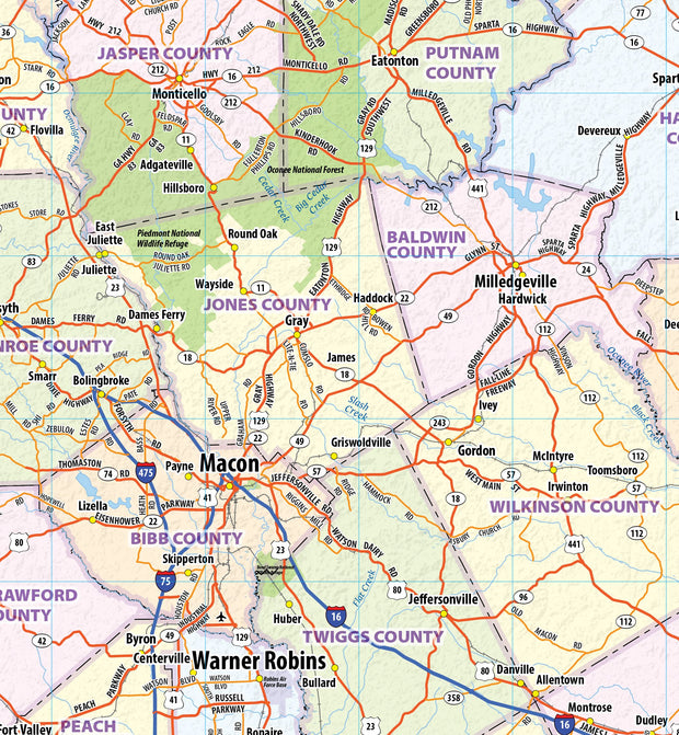
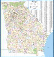
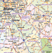
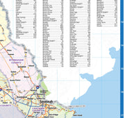
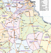
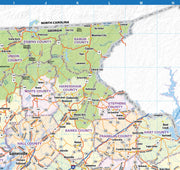
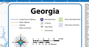
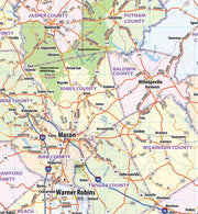
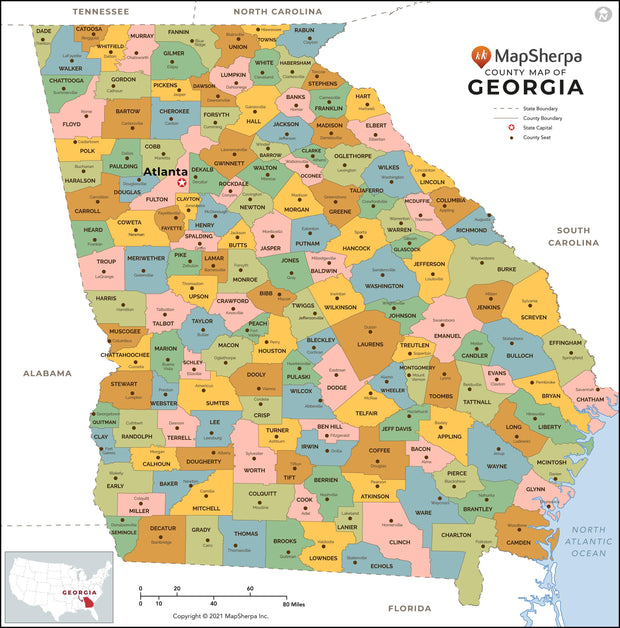
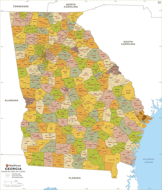
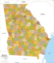
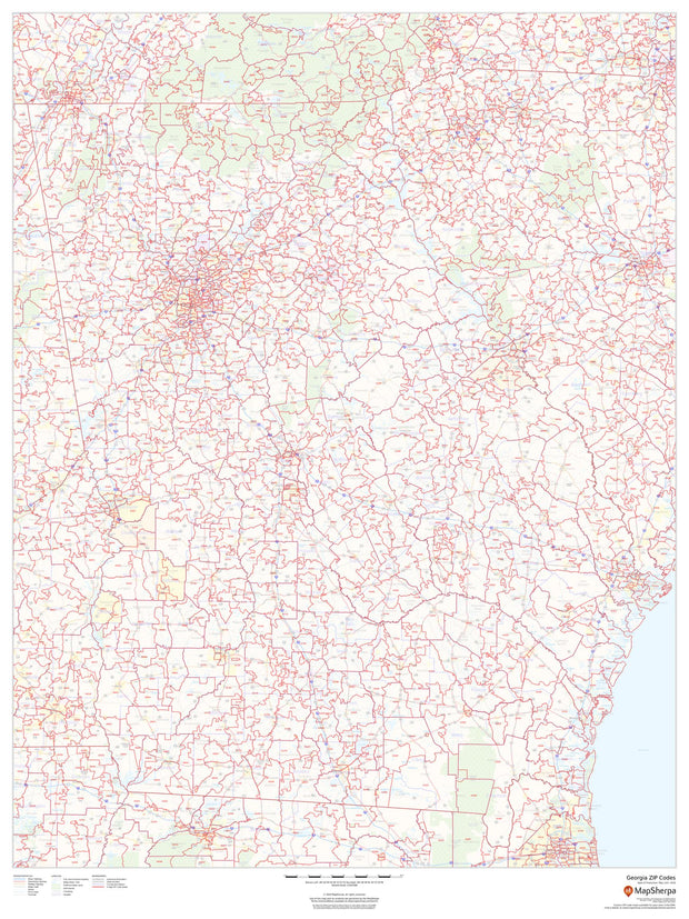
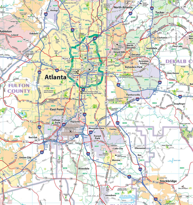
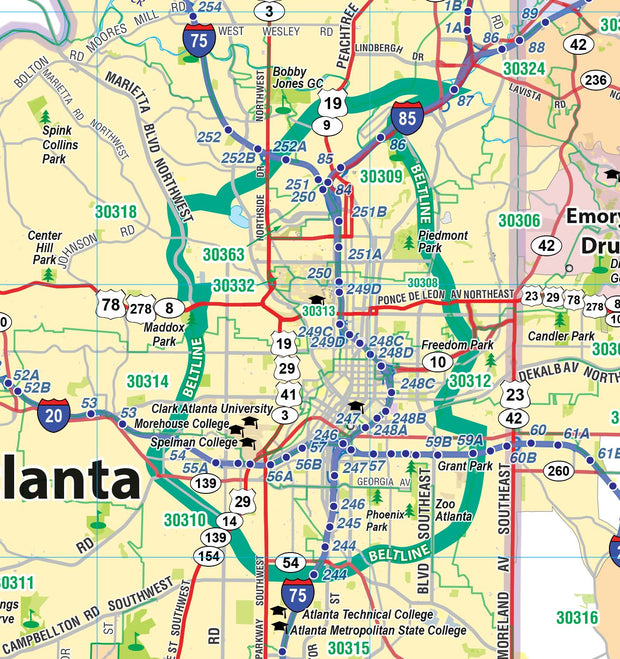
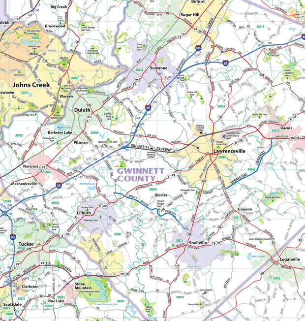
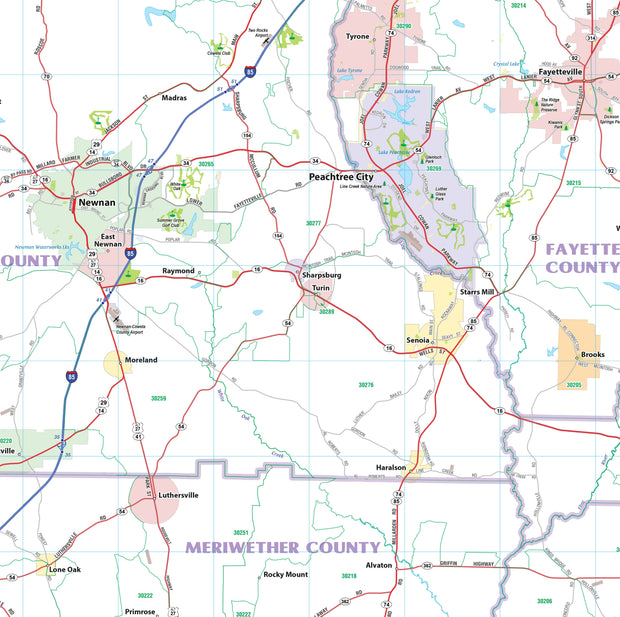
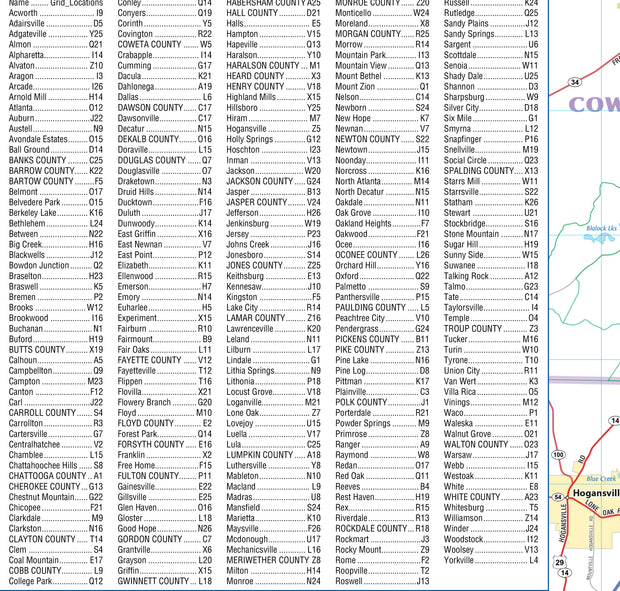
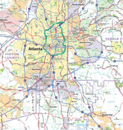
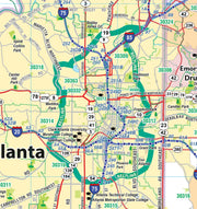
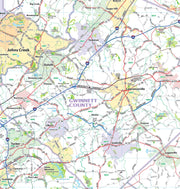
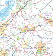
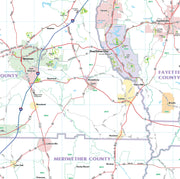
Features vary but may include cities, counties, shaded relief topography, highways, state and national parks, and other points of interest.
Our current maps are available in multiple sizes and finish options, and our historical maps are printed on heavy 65# cover stock. All our maps are printed using HP 100-year inks and come rolled and shipped in a heavy cardboard tube.
These maps are designed and printed in the USA
Perfect for planning, teaching, or displaying your state pride. Buy your map online and have it delivered within a few days.