

You may also like

ILWM102
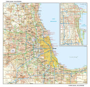
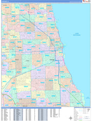
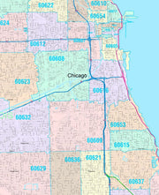
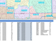
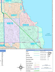
This portrait-oriented map of central Chicago, Illinois shows detailed street level information including extensive street labeling. Ideal for planning of deliveries, home services, sales territories, real estate and much more. Base map features include all roads with major roads and highways labelled; neighborhood names; railways; high level land use such as parks and recreation areas, industrial areas and hospital campuses; and a variety of points of interest including schools, libraries, stadiums, museums, border crossings and more.
This map is rolled and shipped in a sturdy cardboard tube.
ILWM101
This detailed reference map combines two maps in one - a regional map of the Chicagoland area plus a street-level map of downtown Chicago. The regional map shows the area's cities and towns, highways and roads, and a variety of points of interest. Joliet, Aurora, Elgin, and Highland Park are among the suburbs near Chicago that are featured on this map. The highly detailed inset of the Chicago central business district shows highways, streets, parks, landmarks, and other points of interest. The Loop, Printer's Row, Chinatown, and the Near North are among the neighborhoods shown on this map.
This map is rolled and shipped in a sturdy cardboard tube.
ILWM105
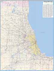
Paper or Laminated wall map of the Greater Chicago Metropolitan Area, showing locations within 65 mile wide by 85 mile high area, including areas from Kenosha, WI in the north to Joliet, IL in the south and from Aurora, IL in the west to Gary, IN in the east.This exquisite wall map of the Chicago Metro area features counties, cities, major highways and roads, river and lakes, airports and other points of interest.
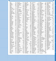
This map also includes a city index making this map both highly functional and decorative. Perfect for a home office, conference room or dispatch office, this map fits all Chicago mapping needs.
This map is rolled and shipped in a sturdy cardboard tube.
map looks beautiful.
ILWM100
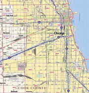
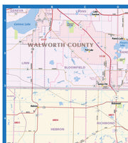
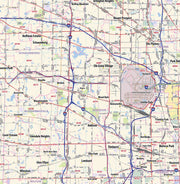
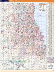
Coverage area extends approximately 96 miles north-to-south and 76 miles east-to-west and is roughly bounded by Walworth, WI; east to Kenosha, WI; south to Schneider, IL; and west to Ransom, IL.
This map is rolled and shipped in a sturdy cardboard tube.
ILWM105-4
Save money on our full line of wall maps from one of the industry leaders in wall maps. These always up to date, eye catching wall maps come in a variety of sizes and finishing options sure to meet your specific mapping needs.
Features include:
Note: Major streets & highways available in all sizes. All streets & highways only available in larger sizes
and will show unavailable in smaller sizes.
This map is rolled and shipped in a sturdy cardboard tube.
ILWM106CC-1
Save money on our full line of wall maps from one of the industry leaders in wall maps. These always up to date, eye catching wall maps come in a variety of sizes and finishing options sure to meet your specific mapping needs.
Features include:
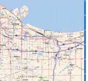
Note: Major streets & highways available in all sizes. All streets & highways only available in larger sizes and will show unavailable in smaller sizes.
This map is rolled and shipped in a sturdy cardboard tube.


