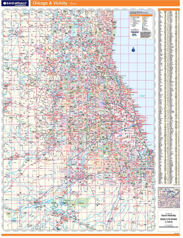
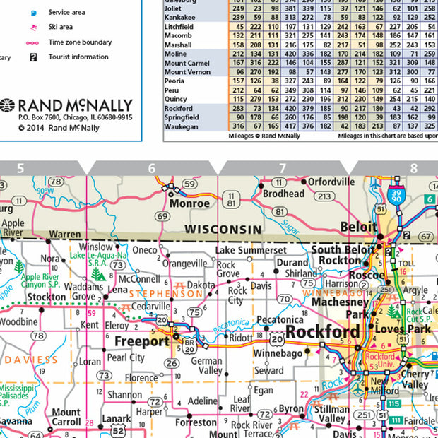
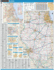
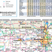
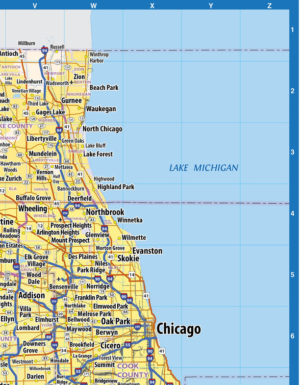
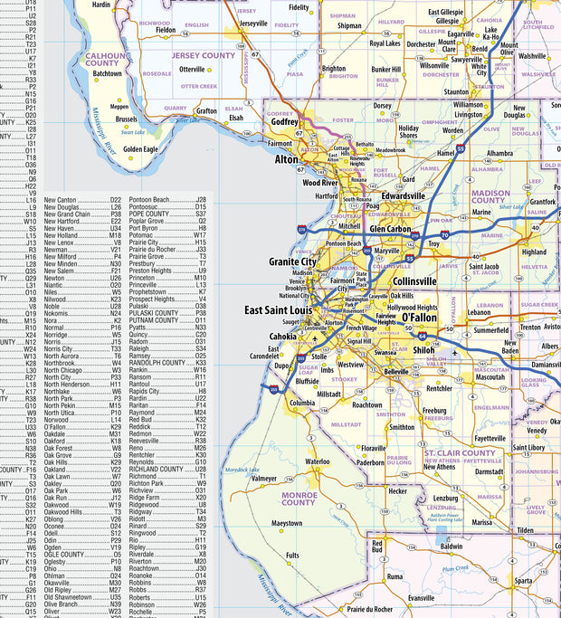
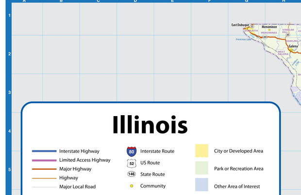
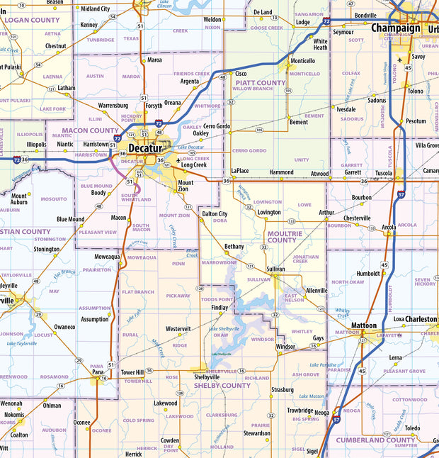
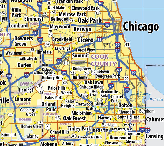
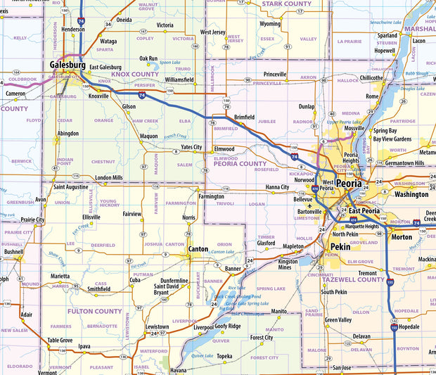
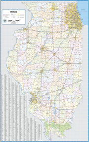
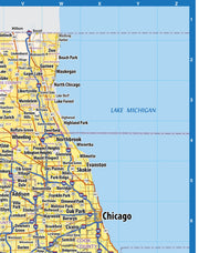
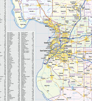
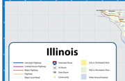
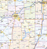
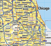
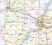
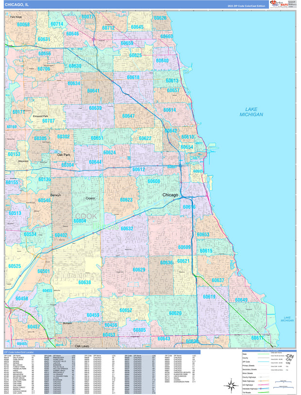
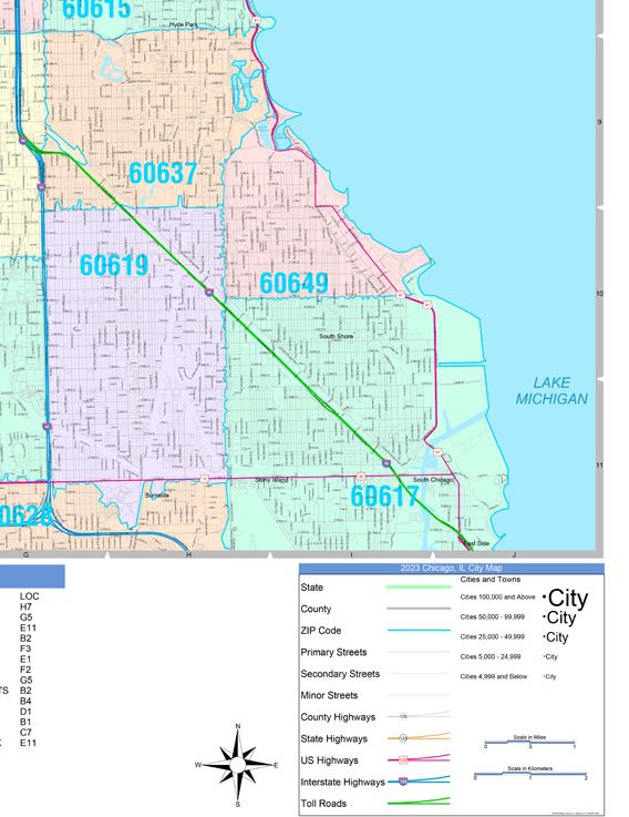
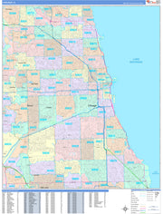
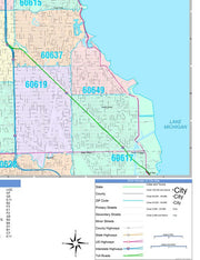
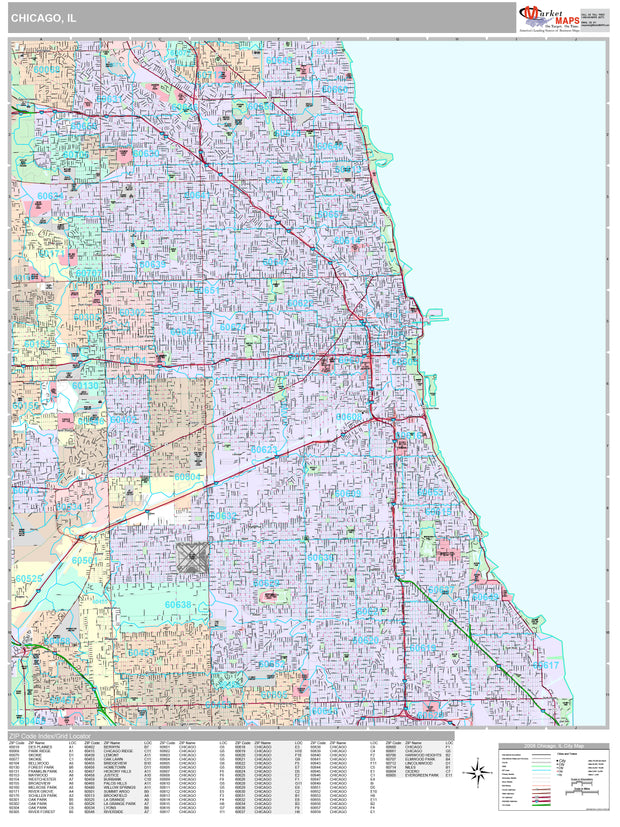
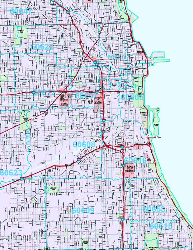
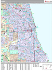
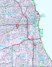
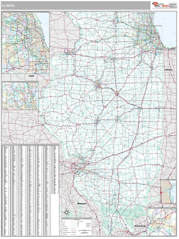
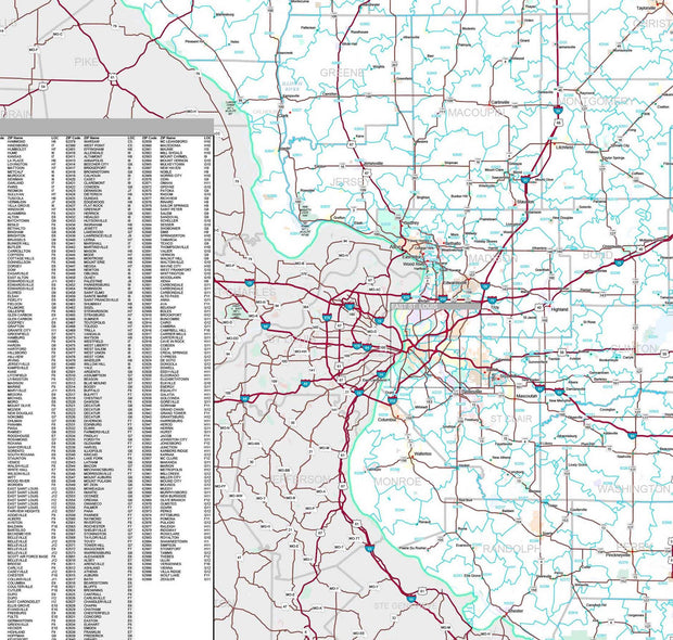
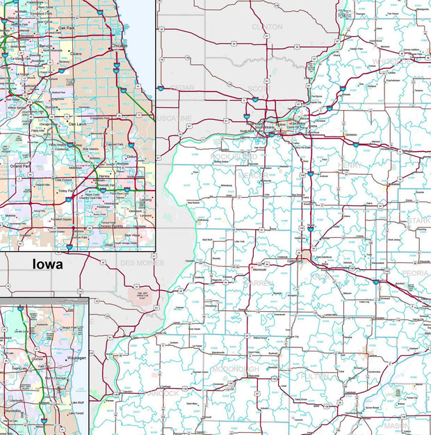
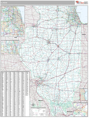
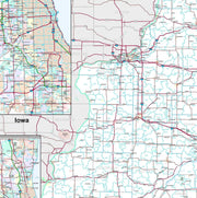
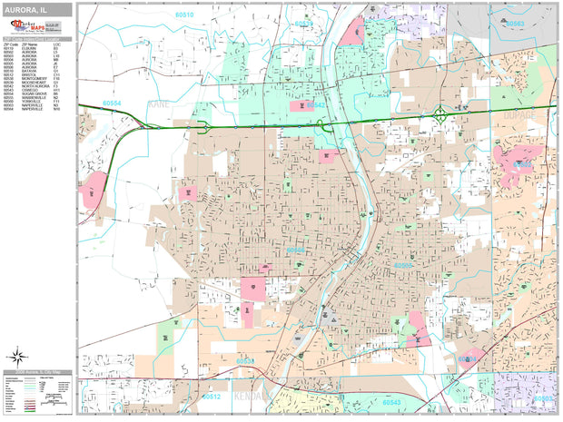
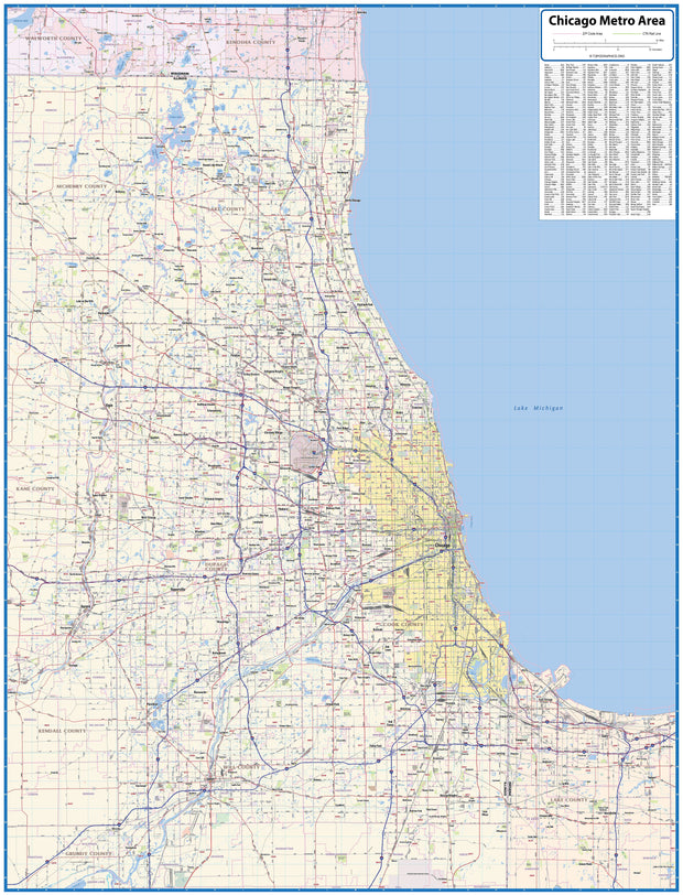
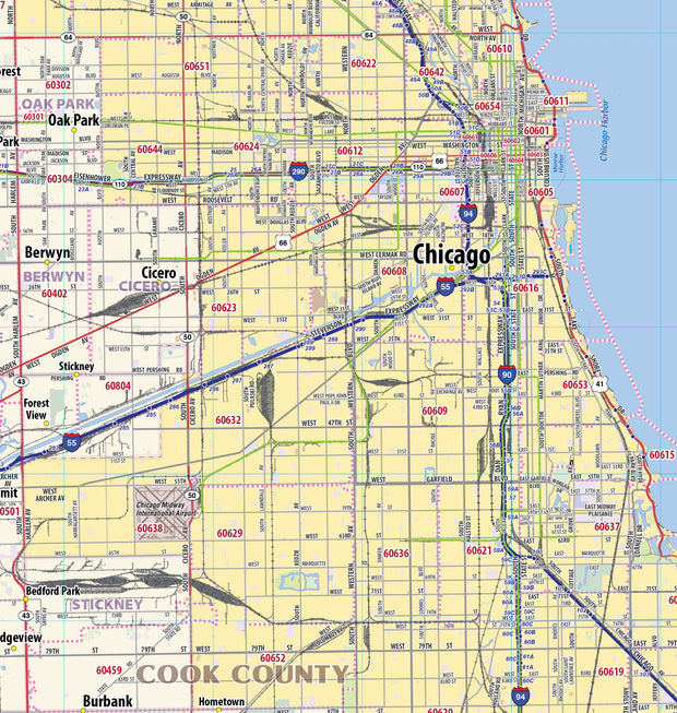
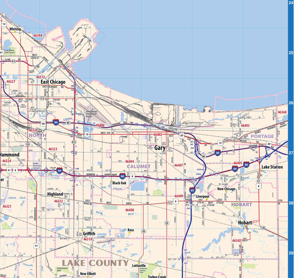
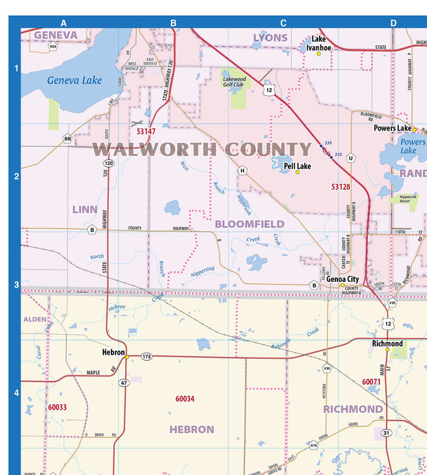
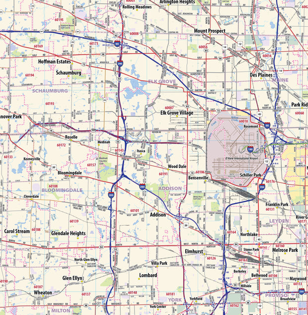
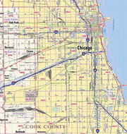
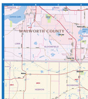
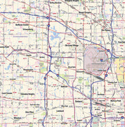
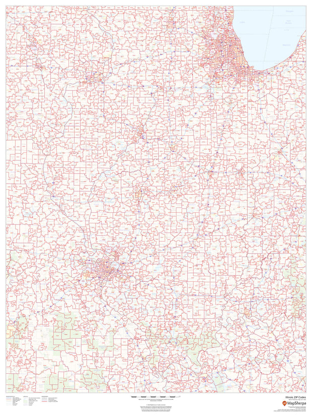
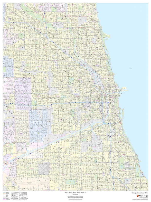
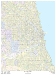
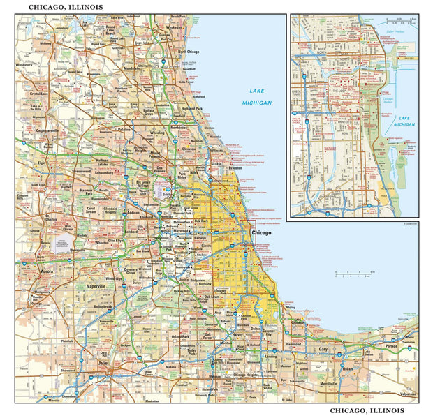
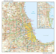
Paper or Laminated wall map of the Greater Chicago Metropolitan Area, showing locations within 65 mile wide by 85 mile high area, including areas from Kenosha, WI in the north to Joliet, IL in the south and from Aurora, IL in the west to Gary, IN in the east.This exquisite wall map of the Chicago Metro area features counties, cities, major highways and roads, river and lakes, airports and other points of interest.
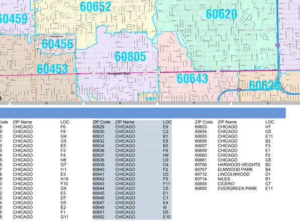
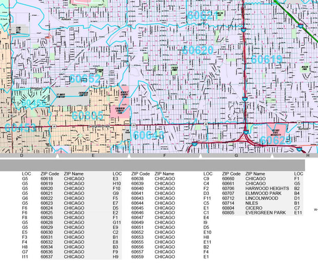
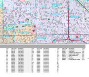
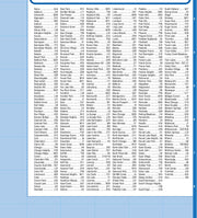
This map also includes a city index making this map both highly functional and decorative. Perfect for a home office, conference room or dispatch office, this map fits all Chicago mapping needs.
42"W x 55"H