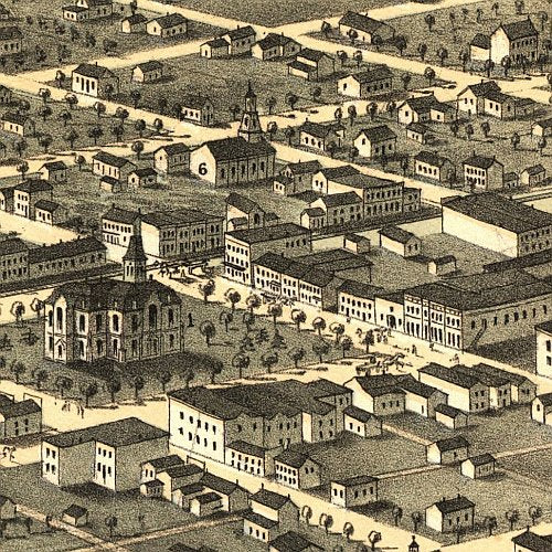
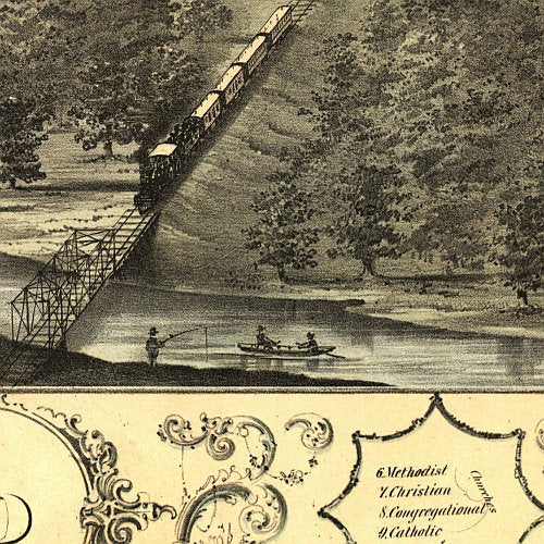
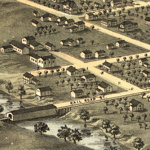
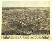
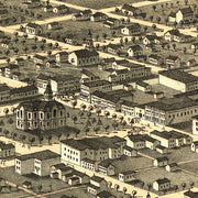
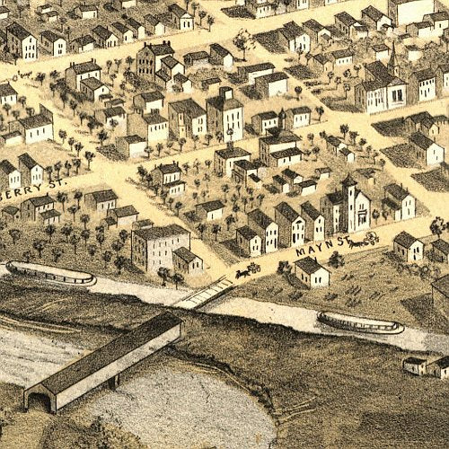
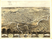
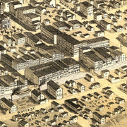
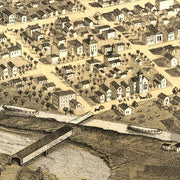
Birds eye view of the city of Kokomo, Indiana by A. Ruger, 1868
IN00013
Regular price
$39.95
Birds eye view of the city of Kokomo, Indiana by A. Ruger, 1868 This beautiful antique map reproduction is printed on heavy acid-free stock with fade proof inks and is excellent for framing.
28"W x 22"H
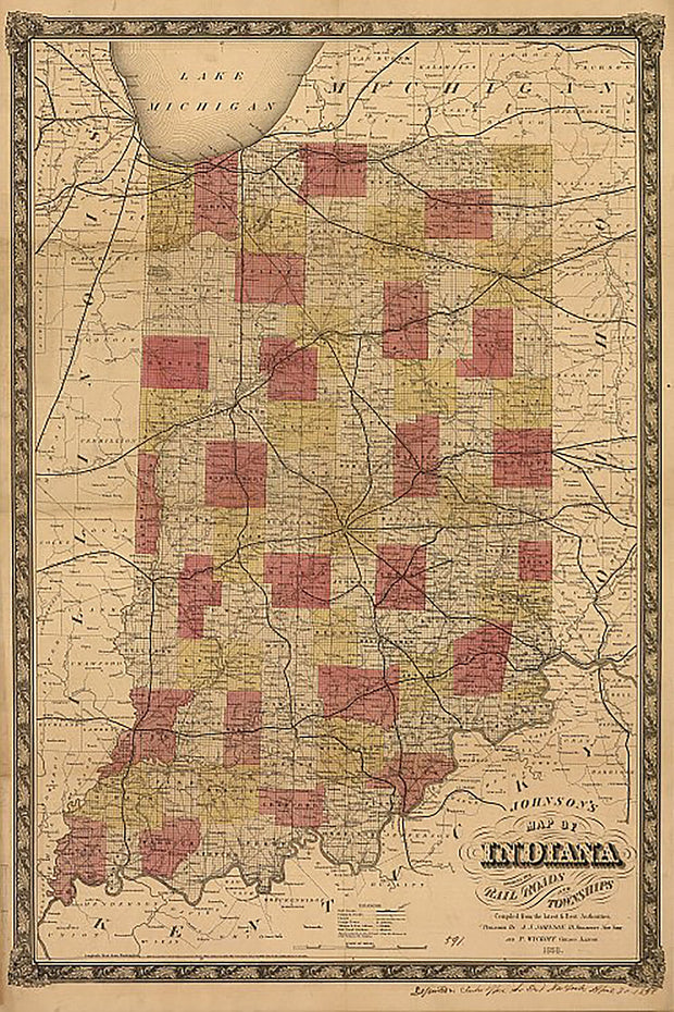
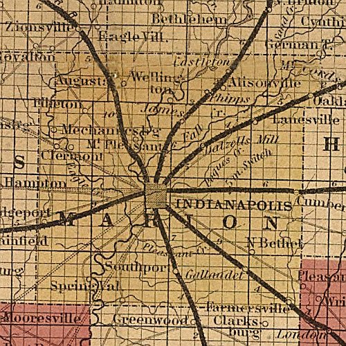
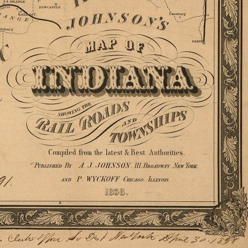
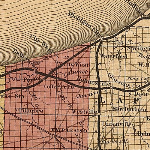
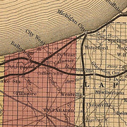
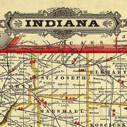
Johnson's map of Indiana, 1858
IN00012
Regular price
$39.95
Johnson's map of Indiana, 1858 This beautiful antique map reproduction is printed on heavy acid-free stock with fade proof inks and is excellent for framing.
23"W x 34"H
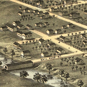
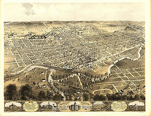
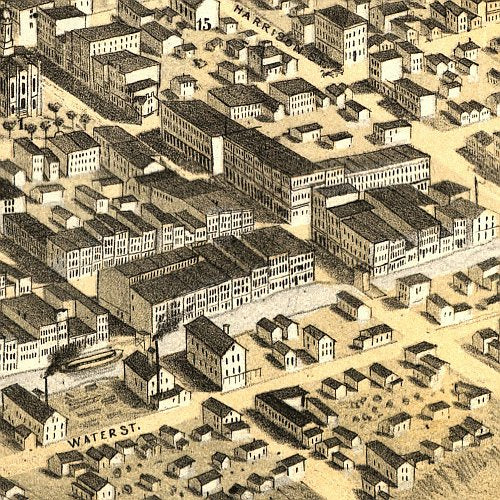
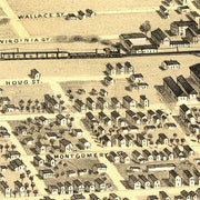
Bird's eye view of the city of Fort Wayne, Indiana by A. Ruger, 1868
IN00009
Regular price
$39.95
Bird's eye view of the city of Fort Wayne, Indiana by A. Ruger, 1868 This beautiful antique map reproduction is printed on heavy acid-free stock with fade proof inks and is excellent for framing.
29"W x 22"H
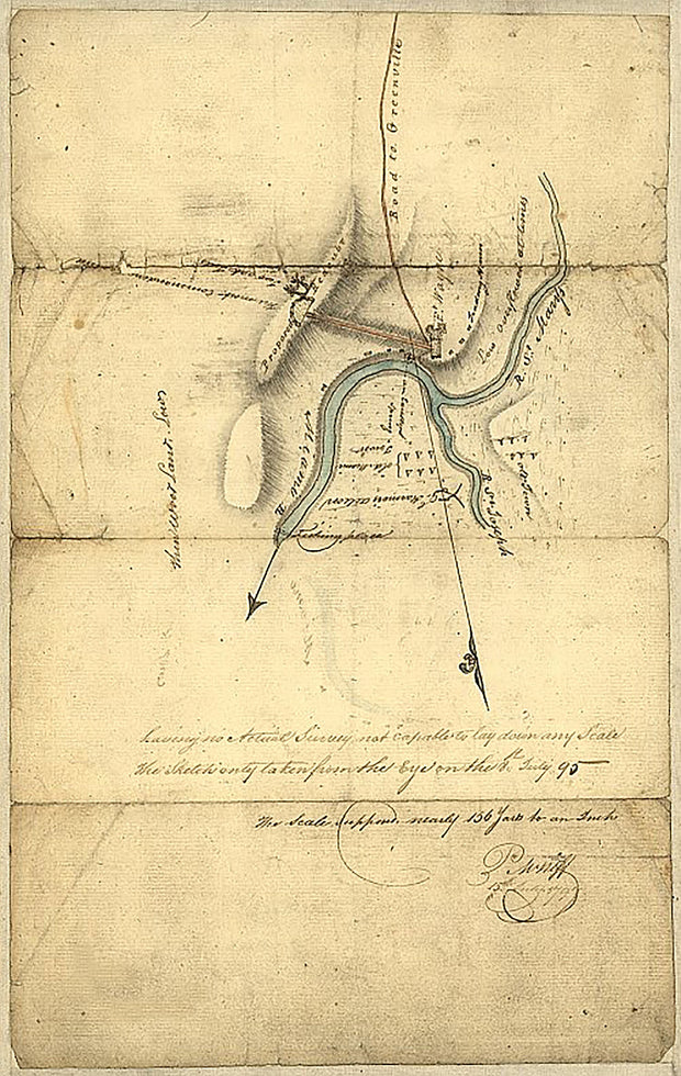
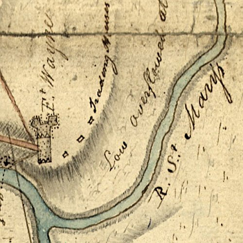
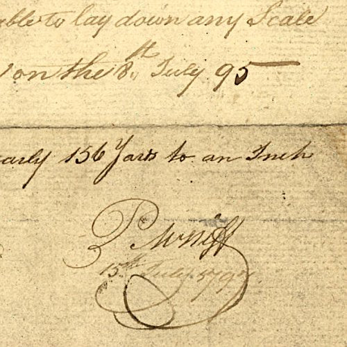
Fort Wayne, Indiana by P.M. Neff, 1795
IN00008
Regular price
$39.95
Fort Wayne, Indiana by P.M. Neff, 1795 This beautiful antique map reproduction is printed on heavy acid-free stock with fade proof inks and is excellent for framing.
16"W x 25"H
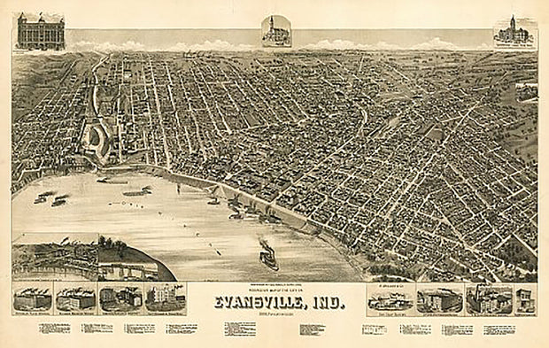
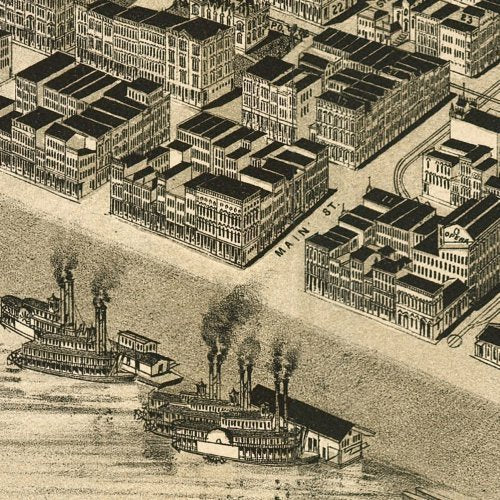
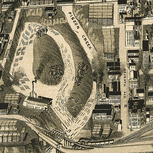
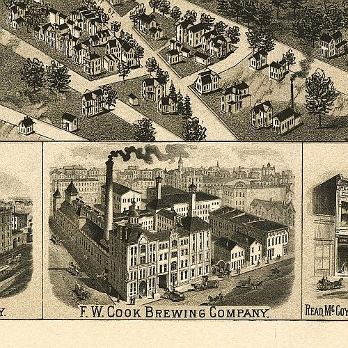
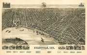
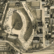
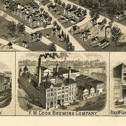
Perspective map of the city of Evansville, Indiana by Henry Wellge, 1888
IN00007
Regular price
$39.95
Perspective map of the city of Evansville, Indiana by Henry Wellge, 1888 This beautiful antique map reproduction is printed on heavy acid-free stock with fade proof inks and is excellent for framing.
35"W x 23"H
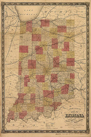
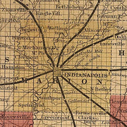
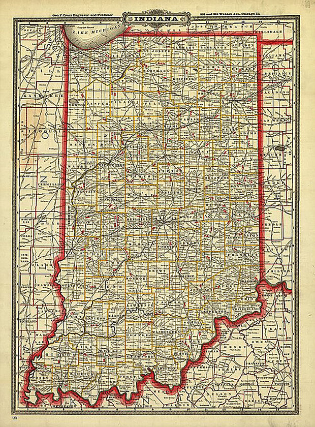
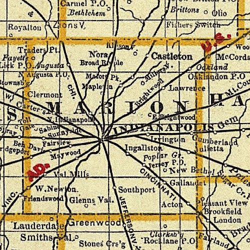
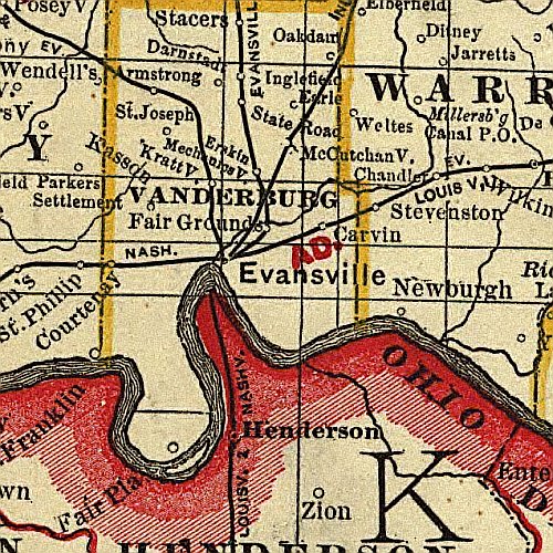
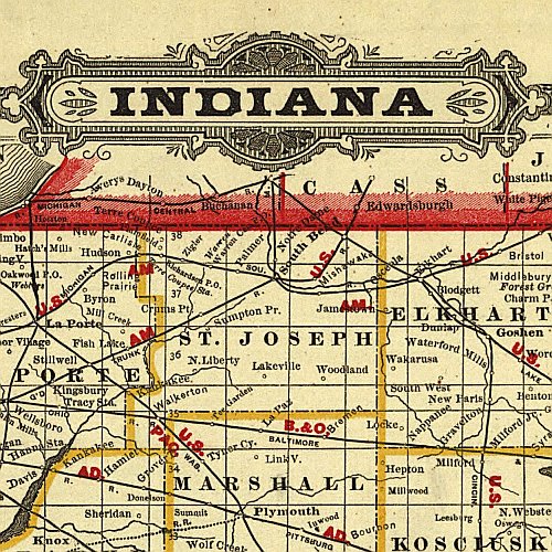
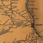
Cram's Township and Rail Road Map of Indiana, 1888
IN00005
Regular price
$39.95
Cram's Township and Rail Road Map of Indiana, 1888 This beautiful antique map reproduction is printed on heavy acid-free stock with fade proof inks and is excellent for framing.
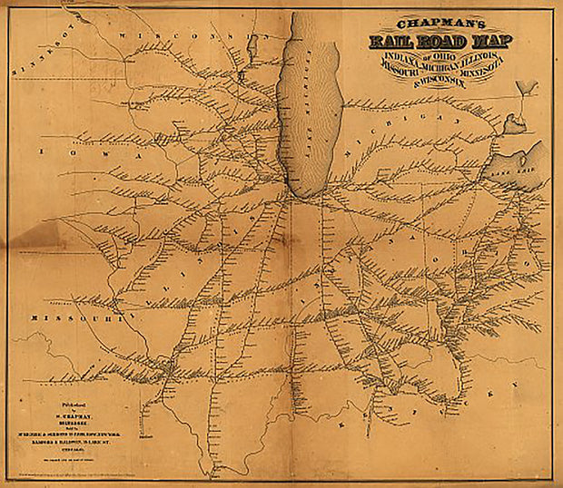
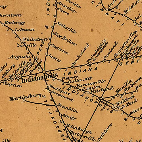
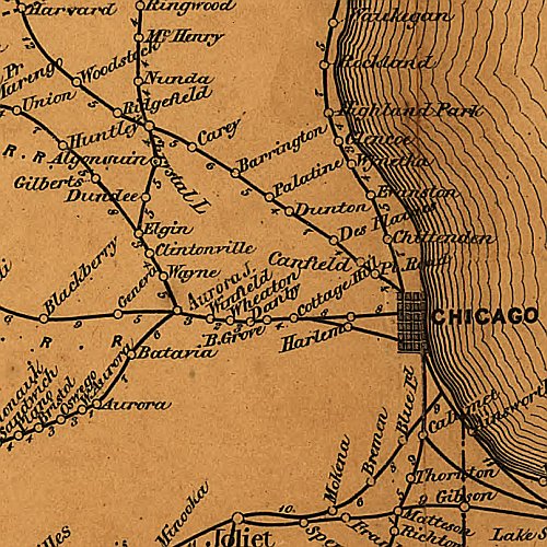
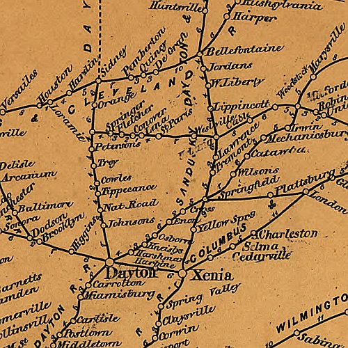
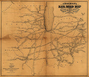
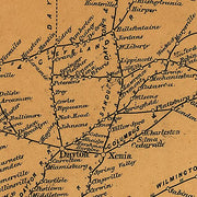
Chapman's Rail Road Map of Ohio, Indiana, Michigan, Illinois, Missouri, Minnesota, & Wisconsin, 1859 This beautiful antique map reproduction is printed on heavy acid-free stock with fade proof inks and is excellent for framing.
23"W x 27"H
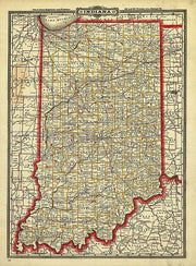
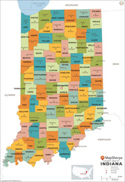
Indiana County Map
INWM004-1
Regular price
$29.95
This map has been created and designed for reference or business use. Clear and clean colors & fonts matched with cartographic research makes this map of Indiana Counties Map easily readable and useful. The map shows the 92 counties of Indiana and their borders across the Hoosier State.