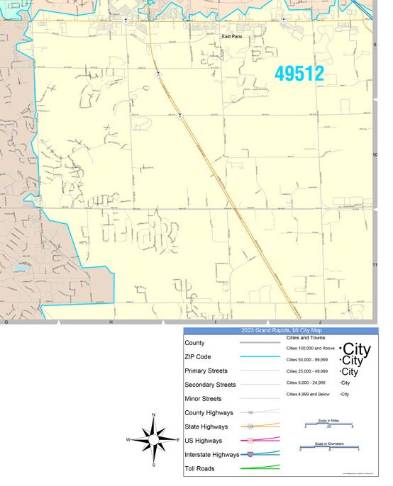
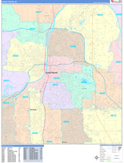
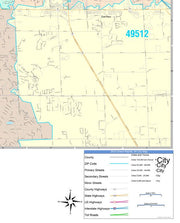
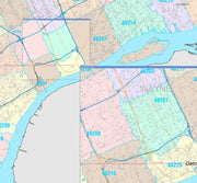
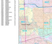
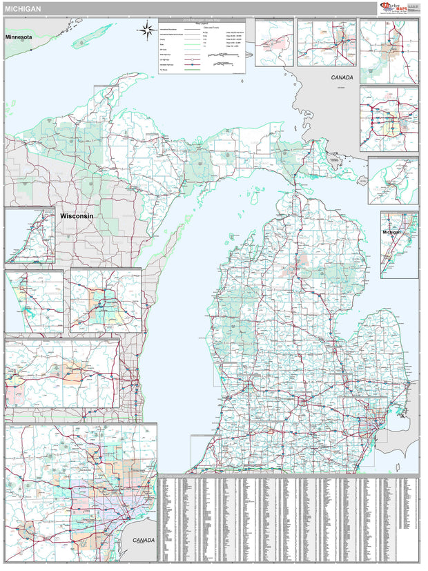
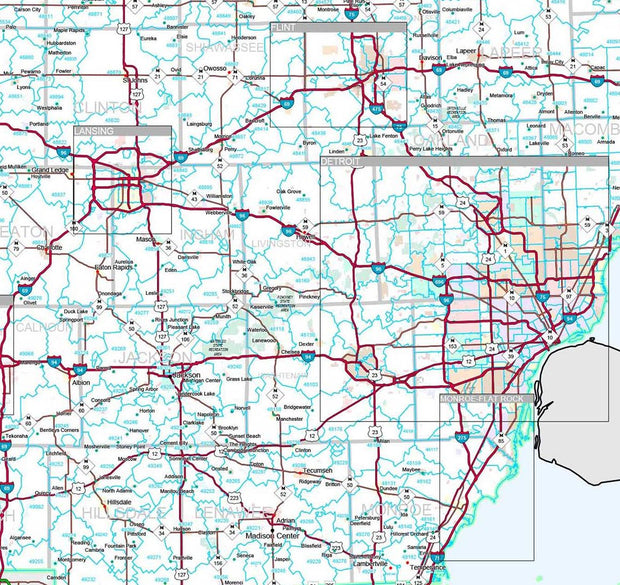
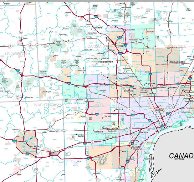
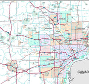
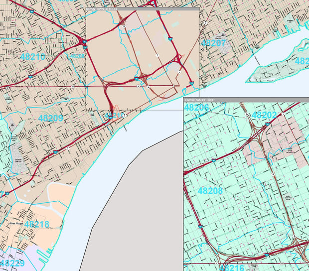
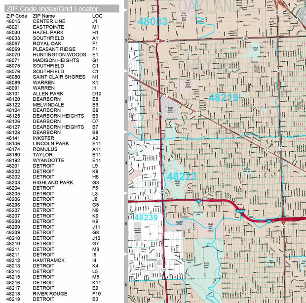
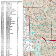
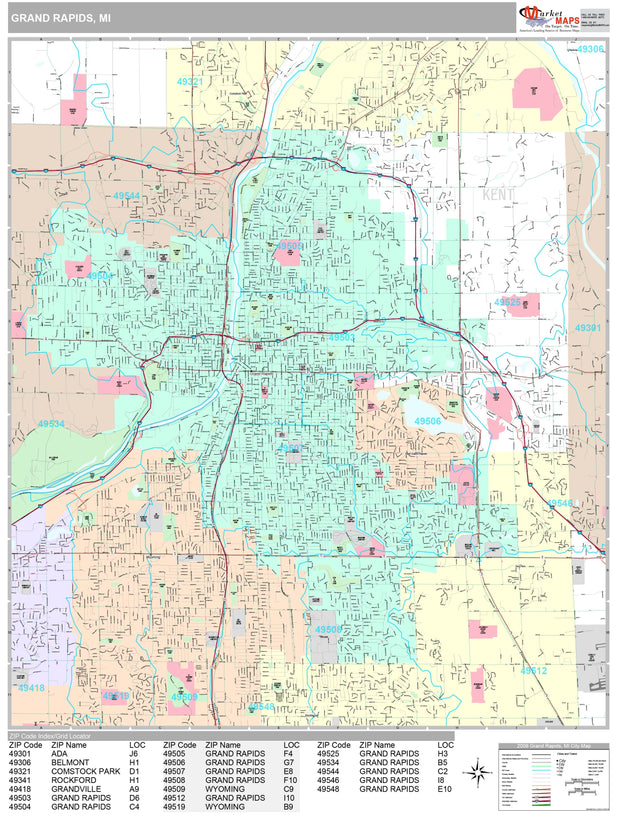
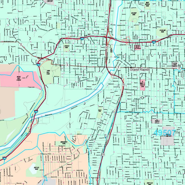
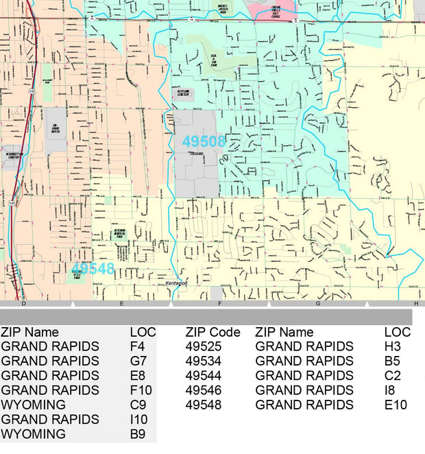
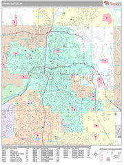
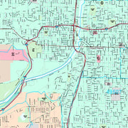
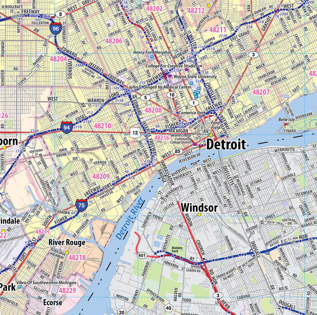
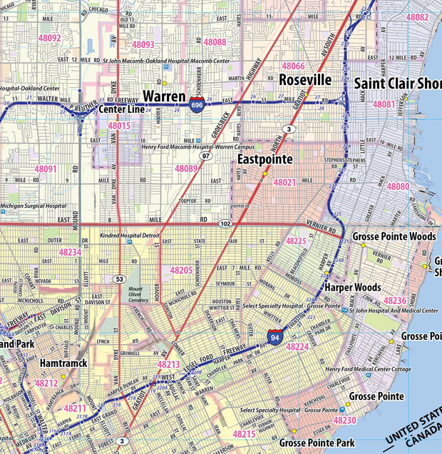
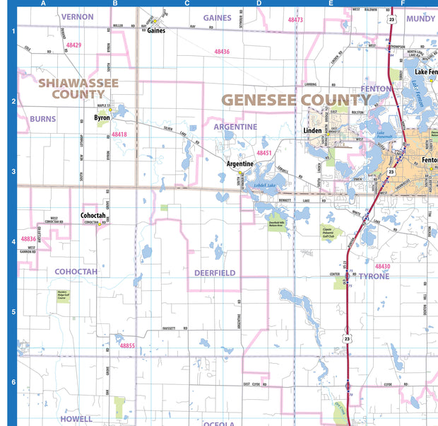
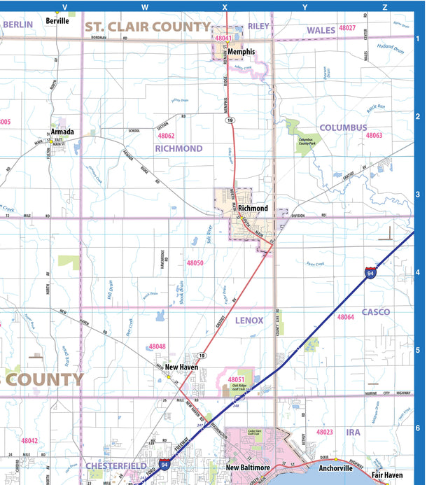
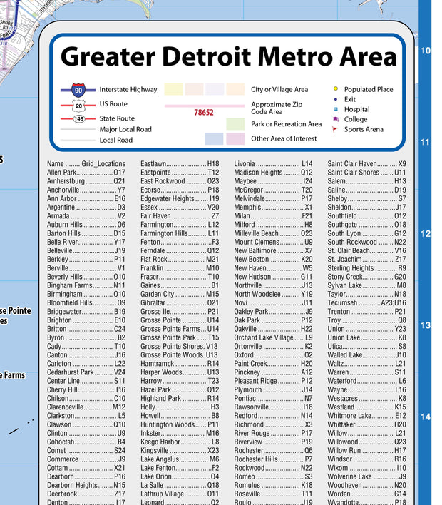
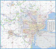
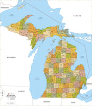
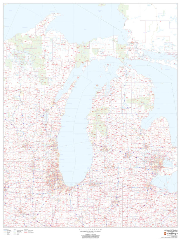
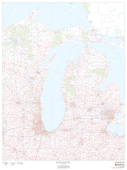
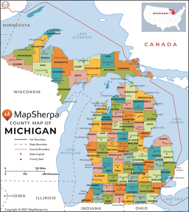
Our Grand Rapids Metro Area wall map shows the area within 30 miles of downtown Grand Rapids , including the communities of Kentwood, Wyoming, Northview, Rockford, Muskegon, Grand Haven, Holland, Douglas, and Hastings, among others. All of Kent County and Ottawa County are shown, as well as adjacent areas of nearby counties. Features shown include cities, towns, counties, highways and major and secondary roads, zip codes, and major points of interest. Note: due to the vast extent of this map, local street names are not shown.
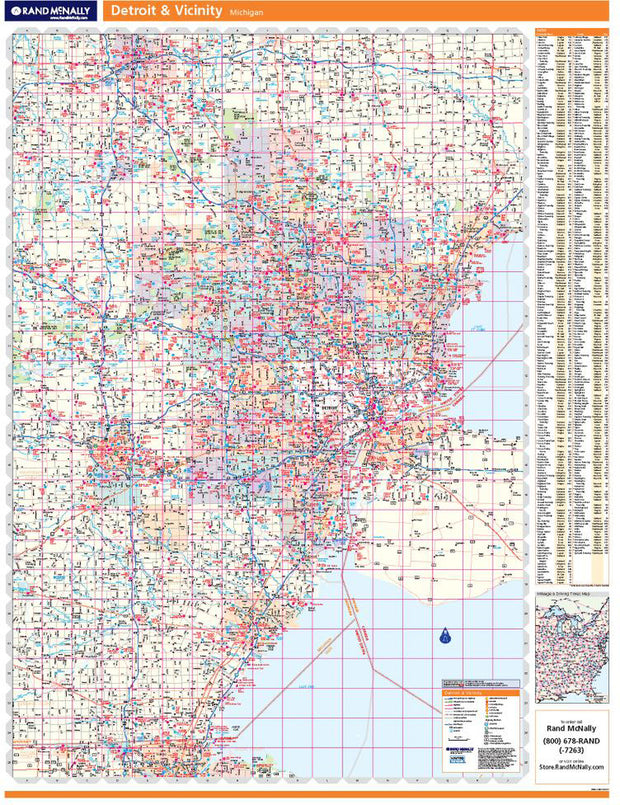
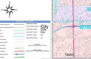
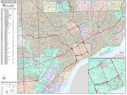
This map comes in a variety of sizes and finishing options. It is shipped rolled in a sturdy cardboard tube.