New York: Wall Maps
New York Wall Maps
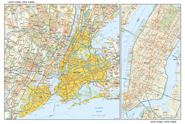
NYWM100-1
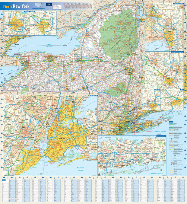
NYWM002-1
Welcome to the American Map Store
where every item has a free
shipping option!