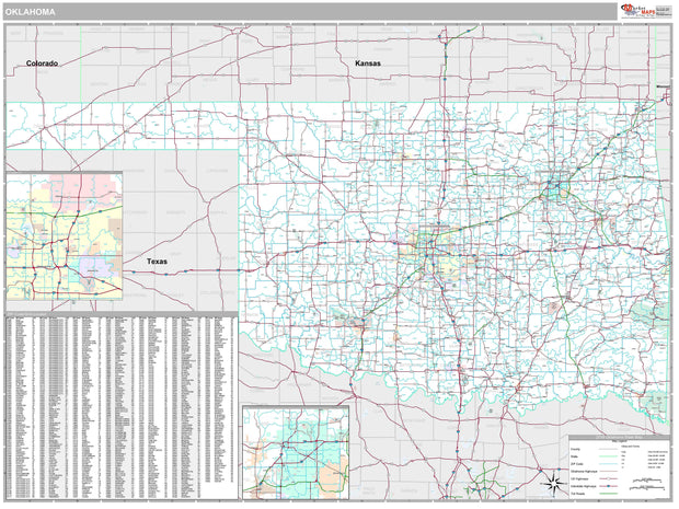
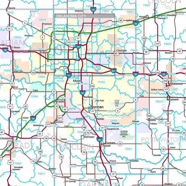
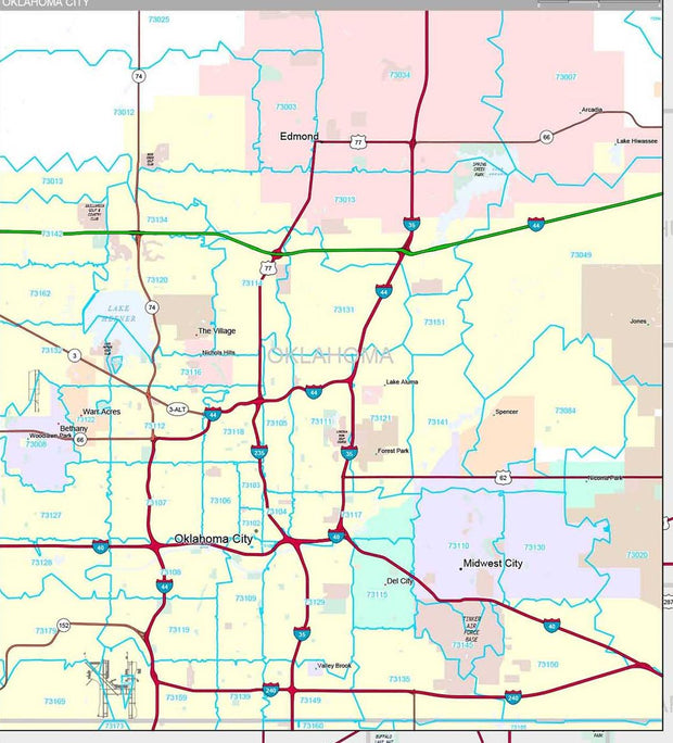
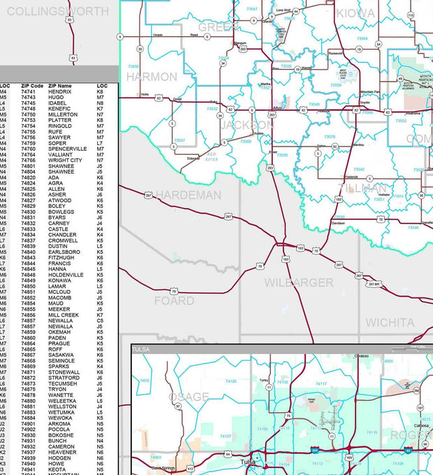
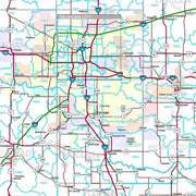
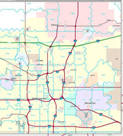
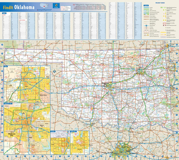
Our Tulsa Metro Area Map shows a 40 x 40 mile area centered on Tulsa, Oklahoma. It shows all of Tulsa County as well as adjacent areas of Rogers, Wagoner, Creek, and Osage Counties. The perfect tool for visualizing the big picture of the Tulsa area, the map shows cities, towns, and major and secondary roads.
Features shown include cities, towns, counties, highways and major and secondary roads, zip codes, and major points of interest. Note: due to the vast extent of this map, local street names are not shown.
This map comes in a variety of sizes and finishing options. It is shipped rolled in a sturdy cardboard tube.