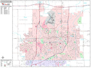
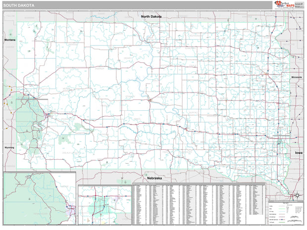
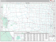
The Color Cast Style South Dakota State Map is a multi-colored display that shades each county with its own background color. It is an ideal choice for applications that benefit from quickly and easily distinguishing one county from the others.
This wall map comes laminated on both sides using 3mm hot lamination, which protects your wall map and allows you to write on it with dry-erase markers.
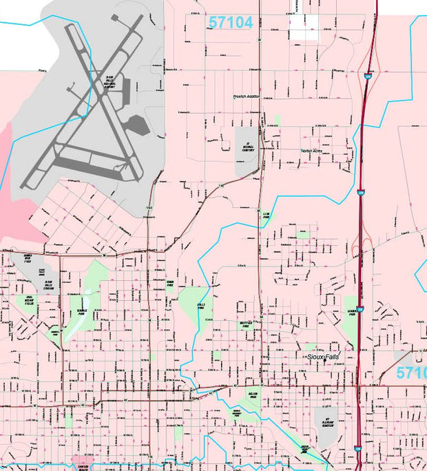
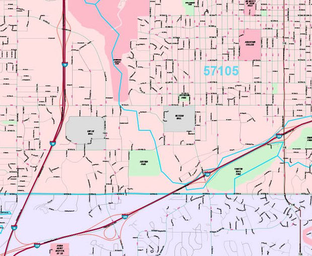
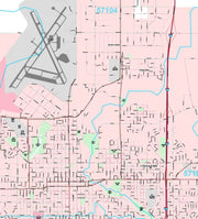
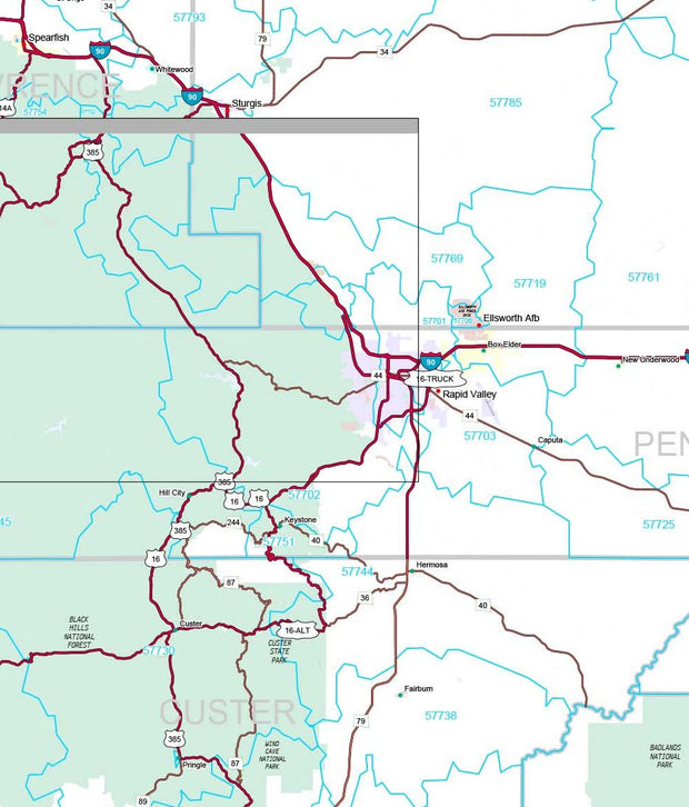
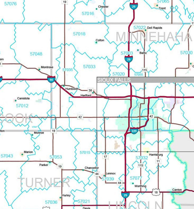
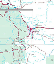
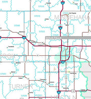
Includes inset maps of all major cities.
Features include:
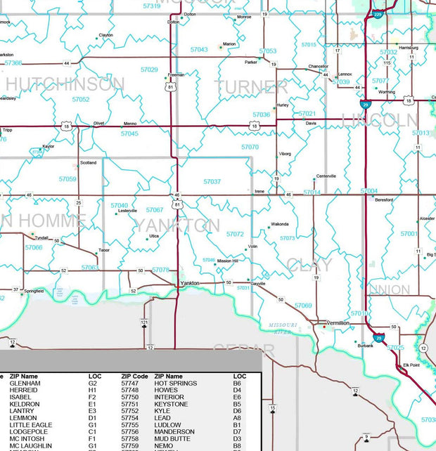
- Cities and Towns
- Interstate/Us/State Highways
- Color Coded & Labeled Counties
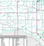
- 5-Digit ZIP Codes Labeled with Boundaries
- Fully Indexed Cities, Towns and Zip Codes
This map is rolled and shipped in a sturdy cardboard tube.