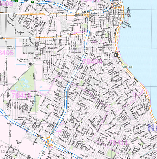
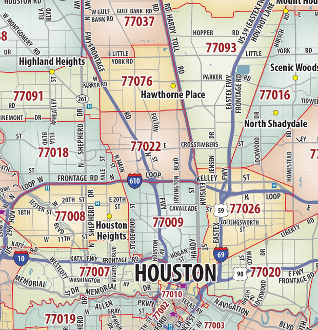
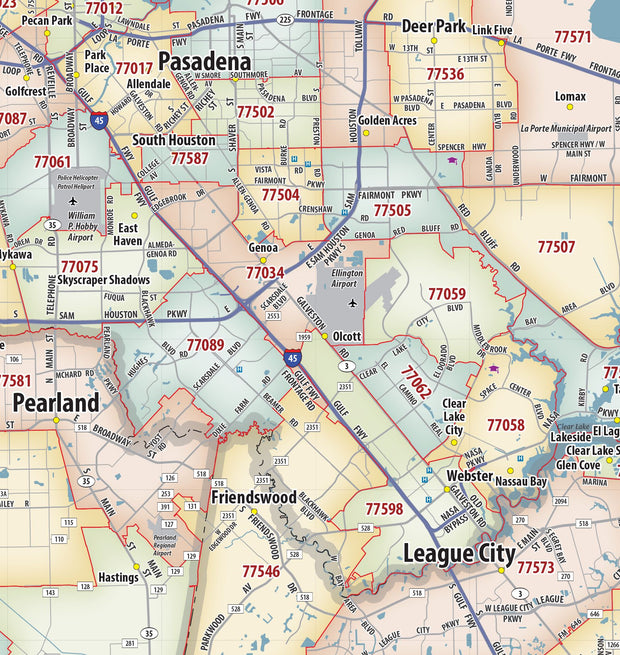
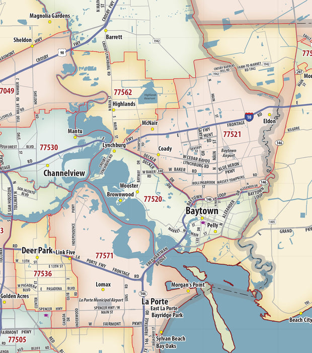
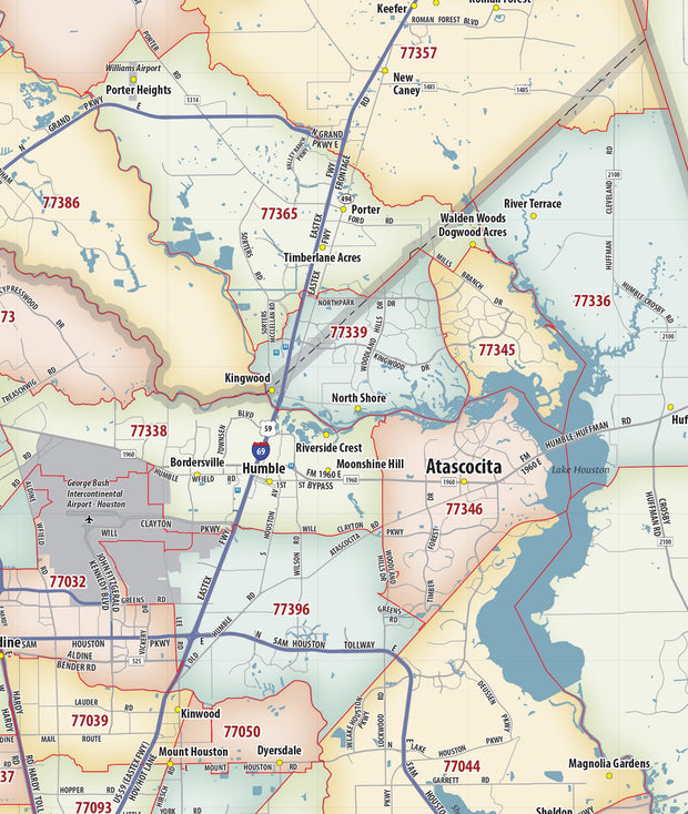
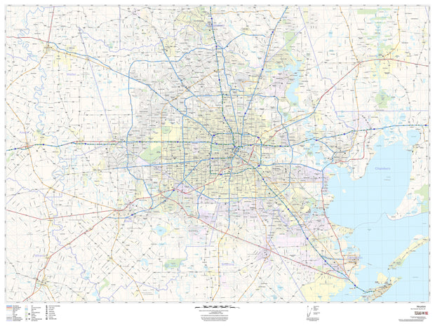
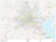
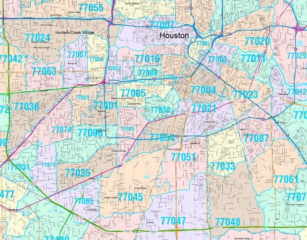
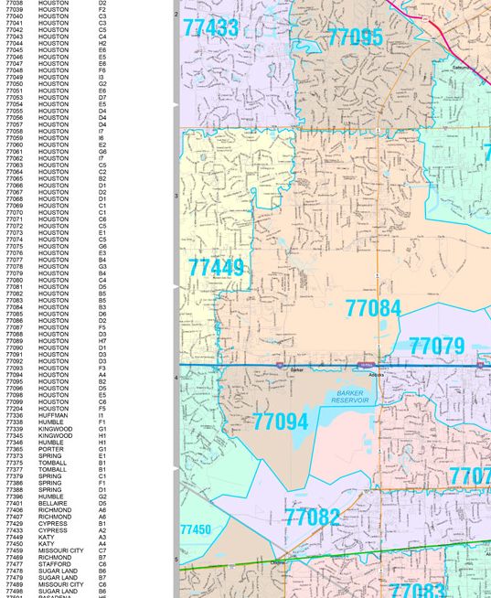
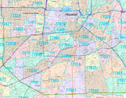
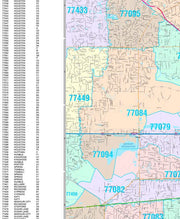
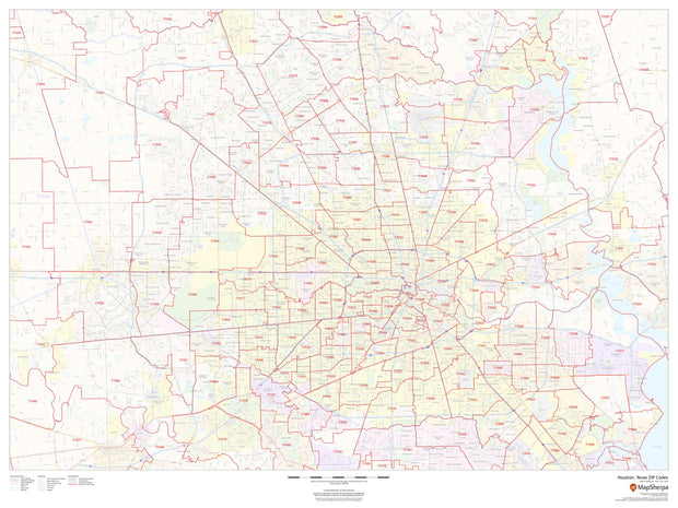
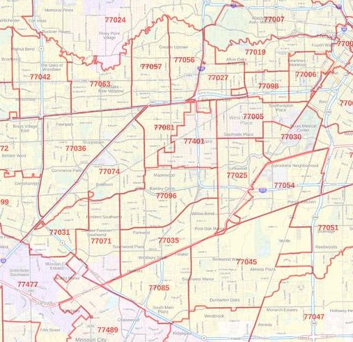
Houston, Texas – High-Resolution Satellite View Map
See Houston from a whole new angle. This high-resolution satellite view map captures the vast scale and character of the city — from the winding Buffalo Bayou and network of bayous to downtown’s skyline, surrounding neighborhoods, major highways, green spaces, and the distinctive landscape that defines Southeast Texas.
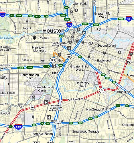
From above, Houston tells a story of water, growth, and movement. You can trace the curves of the bayous, spot large parks like Memorial Park and Hermann Park, and see how the city spreads outward in every direction. The balance between dense urban areas, residential communities, and natural corridors creates a visually rich and fascinating aerial scene.
Unlike traditional road maps, this piece shows the real Houston — actual buildings, streets, waterways, and land patterns — offering a true-to-life view that’s both visually striking and geographically accurate.
Whether you’re a longtime Houstonian, connected to the energy industry, a student or alum of Rice or UH, or someone with deep ties to the Gulf Coast, this map makes a meaningful and eye-catching addition to any space. It works beautifully in home offices, living rooms, corporate settings, and professional spaces like real estate, engineering, or architecture firms.
Imagery Source & Quality
This product leverages the USGS National Agriculture Imagery Program (NAIP) imagery service from The National Map to generate natural color maps of the Lower 48 U.S. states. The result is a crisp, high-resolution image with realistic color and detail that highlights Houston’s streets, waterways, vegetation, and built environment with impressive clarity.
Features
-
True satellite imagery in natural color
-
High-resolution detail suitable for large-format printing
-
Clearly recognizable landmarks, neighborhoods, bayous, and terrain
-
A unique alternative to standard street or stylized maps
-
Designed to be both informative and visually striking
Print & Material Options
Your map is printed on heavy 36# bond paper for a durable, high-quality finish. You may also upgrade to satin-finish photo paper for richer color and a smoother, more photographic appearance.
Shipping
Each print is carefully rolled and shipped in a sturdy cardboard tube to ensure it arrives safely and ready for framing.
Bring Houston to your wall — not as a diagram, but as it truly looks from above.