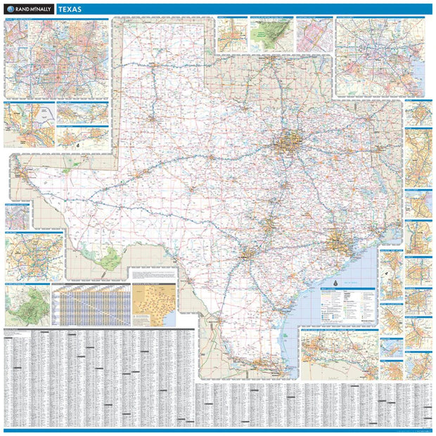
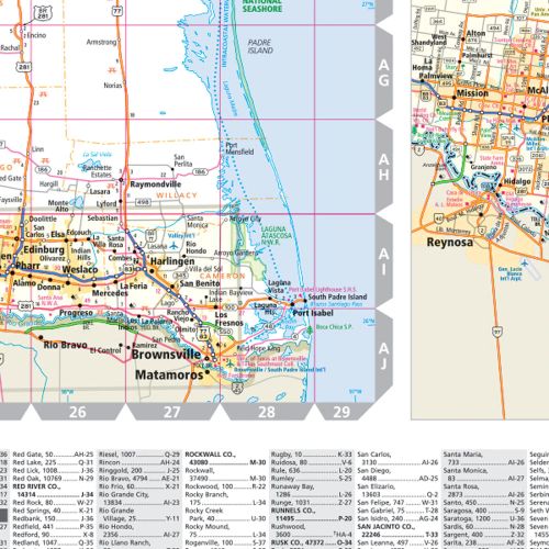
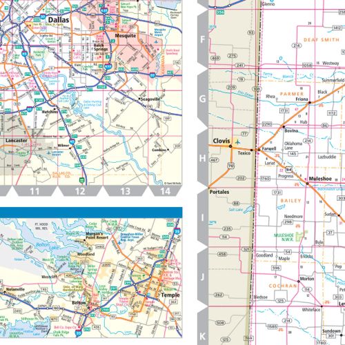
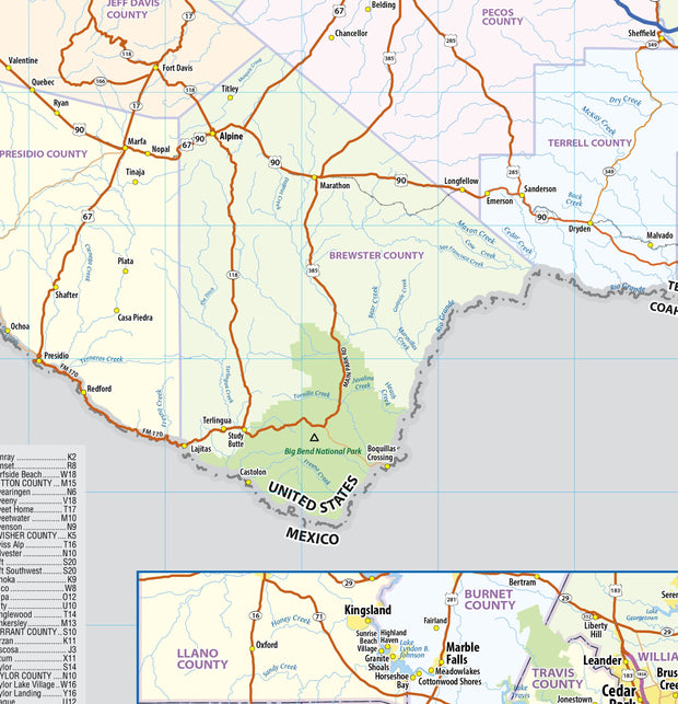
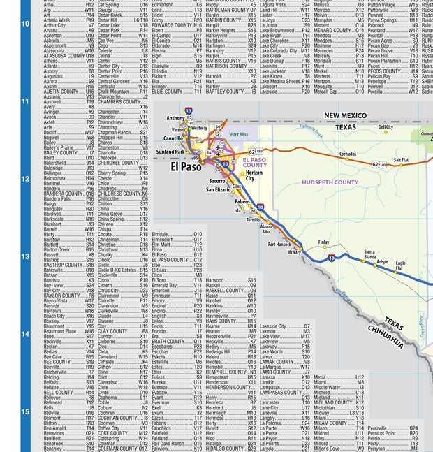
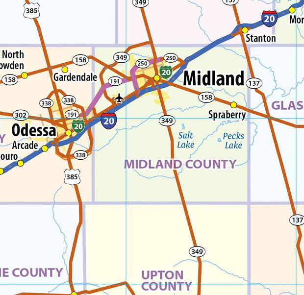
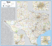
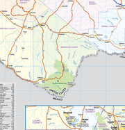
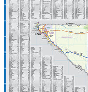
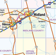
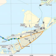
This colorful, easy-to-read state map of Texas identifies all major thoroughfares, secondary roads, freeway interchanges, rest areas, distance markers, landmarks, recreational areas, and more. Shaded relief on the state map provides a three-dimensional sense of Texas' topography. Detailed city inset maps of Abilene, Amarillo, Austin, Beaumont, Corpus Christi, Dallas / Fort Worth, El Paso, Houston / Galveston, Laredo, Lubbock, McAllen, Odessa / Midland, San Antonio, Texarkana, and Waco are based on the latest street information from our cartographic experts. The map also includes up-to-date insets of downtown Dallas, downtown Houston, downtown San Antonio, and Big Bend National Park. County and city indices make it simple to locate even the smallest town.
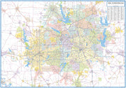
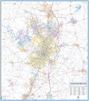
This wall map of Texas, shows counties, towns, cities, villages, major roads and highways. Includes community index and inset maps of Houston, DFW and the Austin/San Antonio metro area.
47"W x 42"H
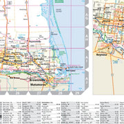
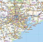
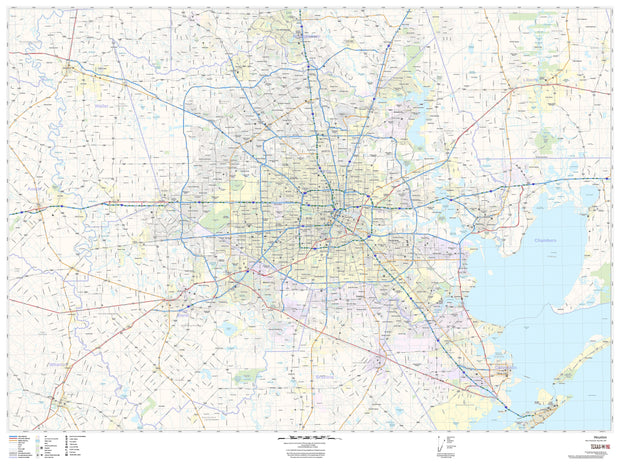
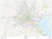
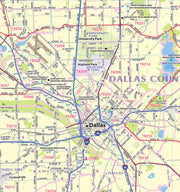
Houston & Surrounding Vicinity Wall Map
WALL063-1
Regular price
$145.00
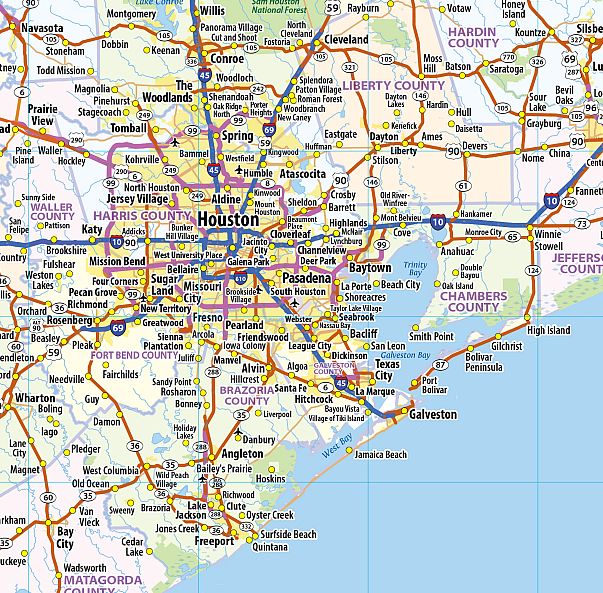
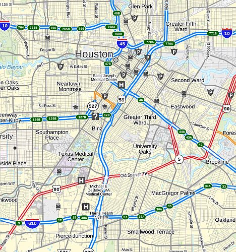
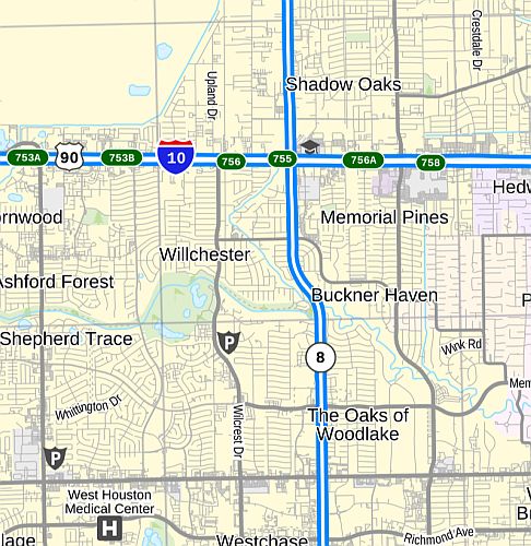
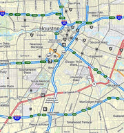
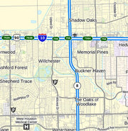
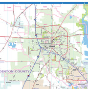
This up to date map of the Houston Regional area features up-to-date major roads, cities, highways, zip code boundaries, lakes, hospitals, high schools and more.
Coverage area includes: North to include The Woodlands, West to include Sealy, South to include Galveston and East to include Liberty.
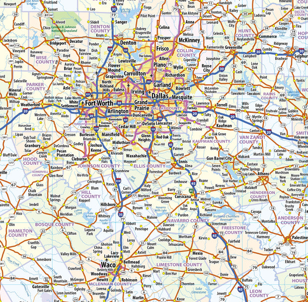
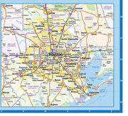
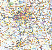
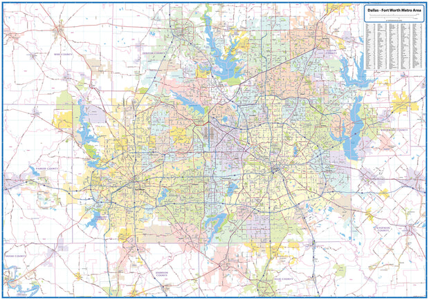
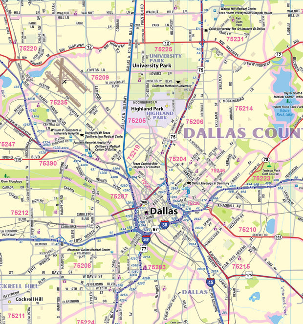
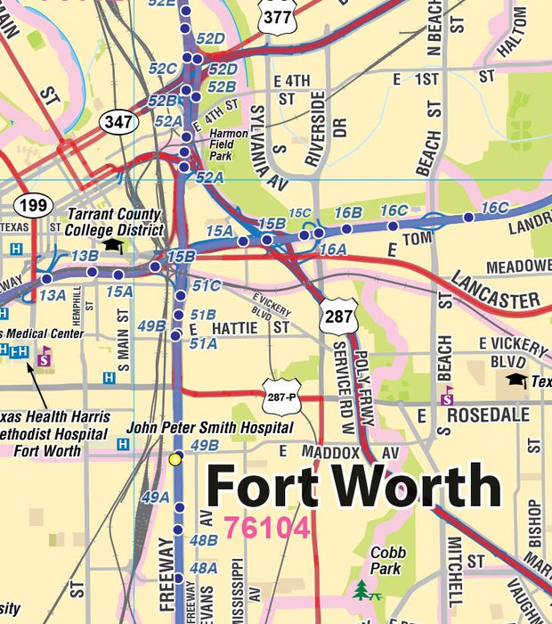
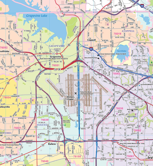
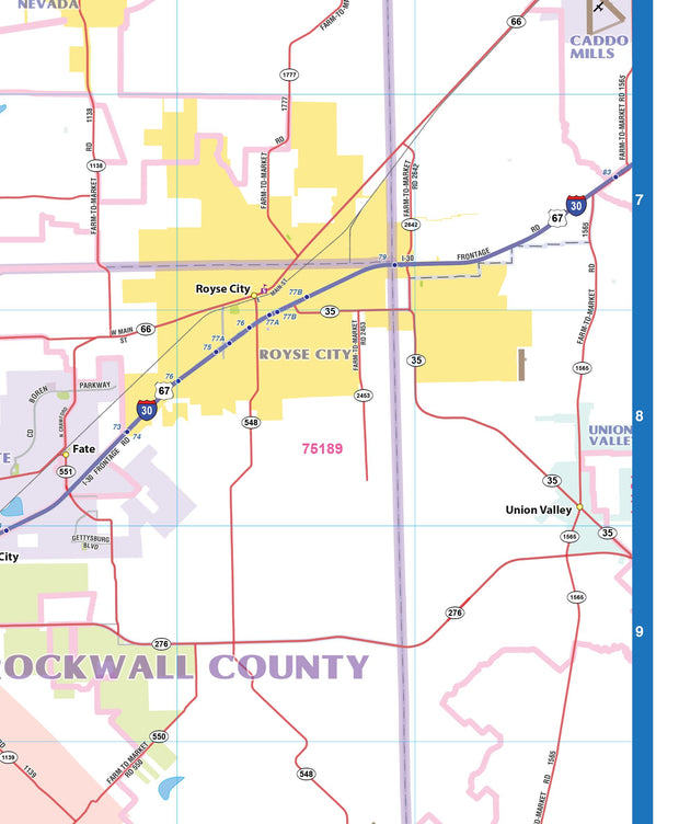
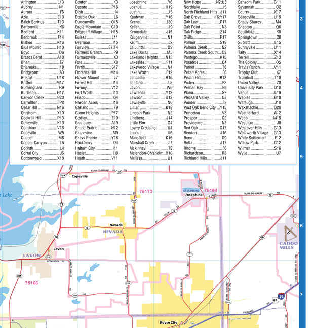
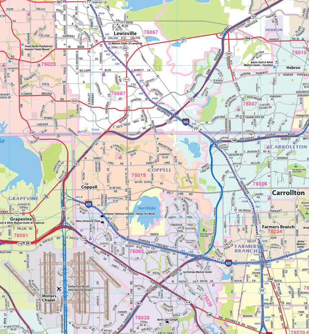
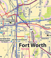
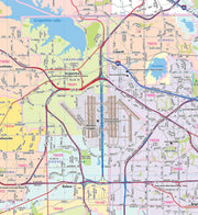
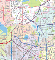
DFW Greater Metro Area Wall Map
TXWM103-1
Regular price
$99.95
This wall map of the Dallas - Fort Worth Metro area, depicts locations within a 90 mile wide by 60 mile high area. Information shown includes counties, towns, cities, major roads and highways, ZIP codes, and major points of interest. An index of community names is included.
60"W x 42"H
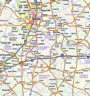
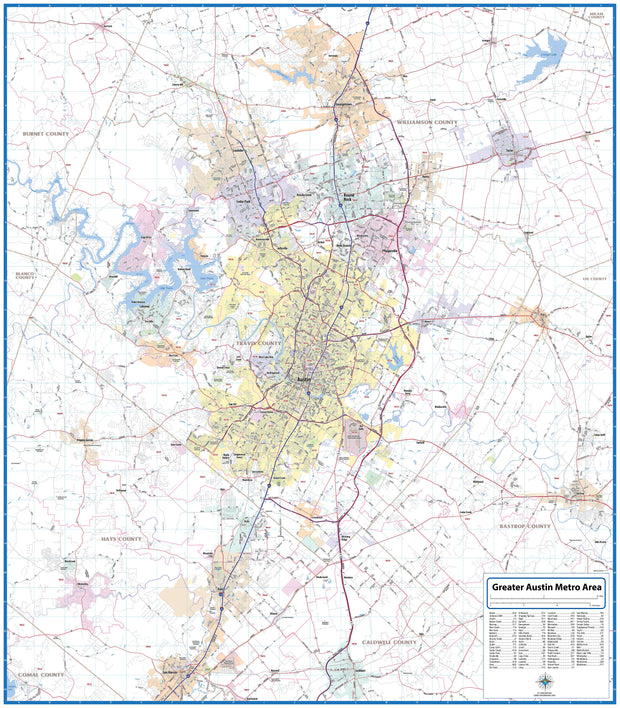
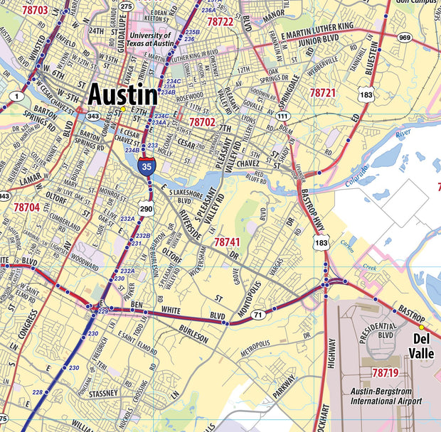
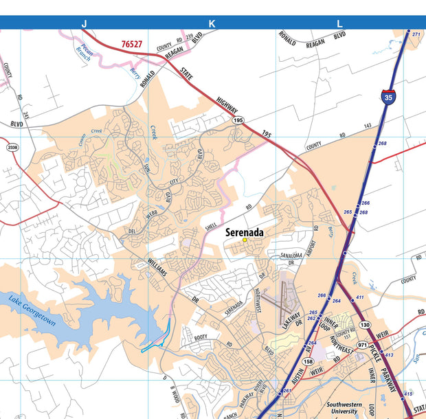
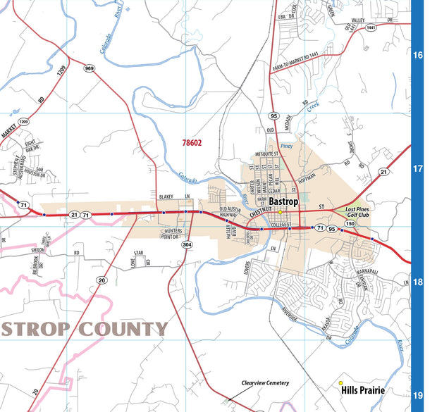
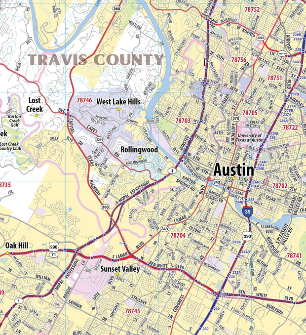
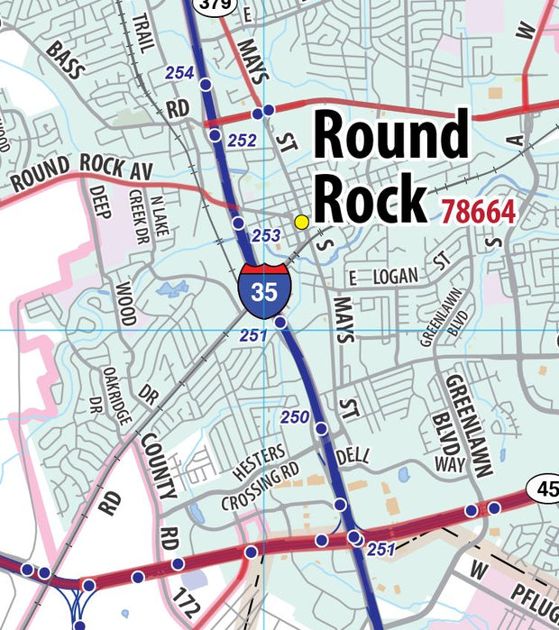
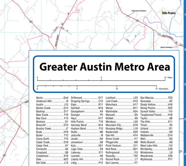
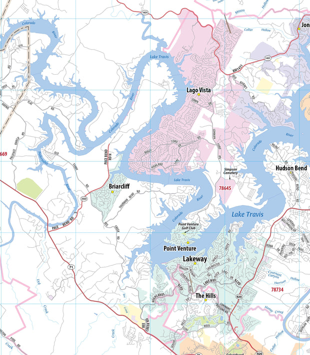
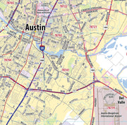
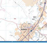
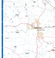
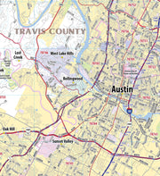
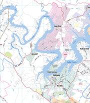
Greater Austin Metro Area Wall Map
TXWM102-1
Regular price
$99.95
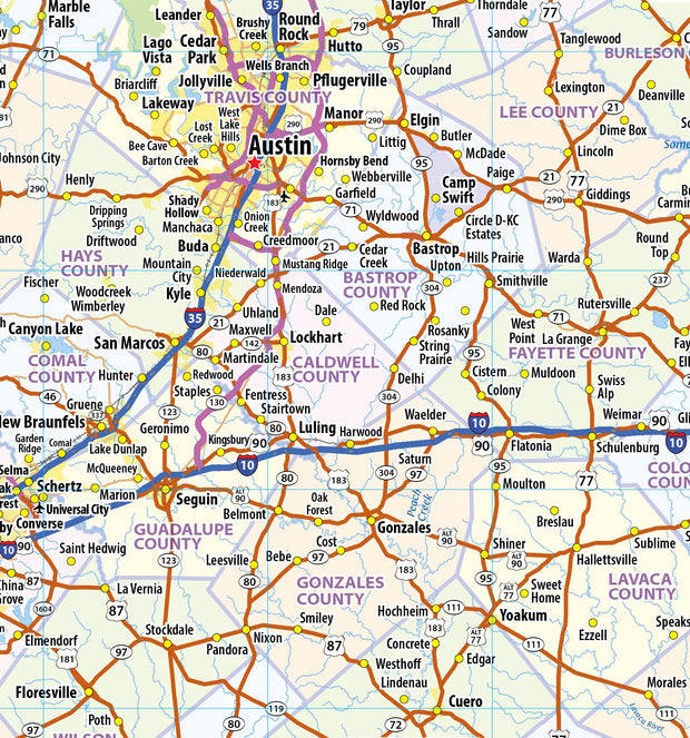
This wall map of the Austin metro area shows locations within 25 miles of downtown Austin, including Travis County, and parts of Hays, Williamson and Bastrop Counties. Communities included are Georgetown, Leander, Cedar Park, Round Rock, Pflugerville, Lago Vista, Lakeway, Bee Cave, Kyle, San Marcos and Lockhart, among others. Features shown include cities, towns, major roads and highways, zip codes, and major points of interest. An index of community names is included.