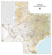
Save money on our full line of wall maps from one of the industry leaders in wall maps. These always up to date, eye catching wall maps come in a variety of sizes and finishing options sure to meet your specific mapping needs.
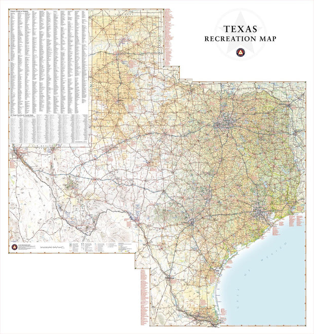
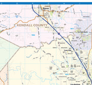
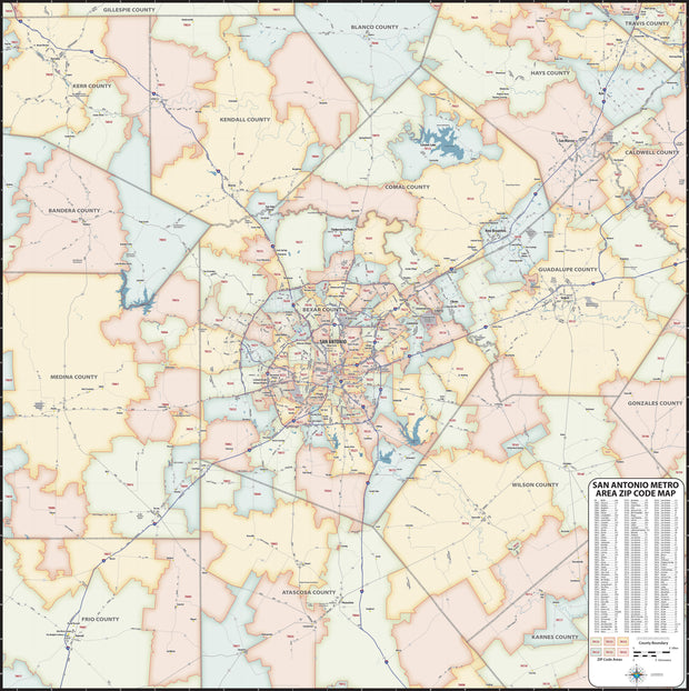
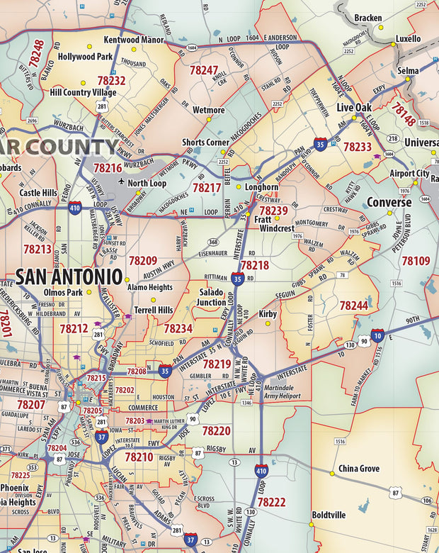
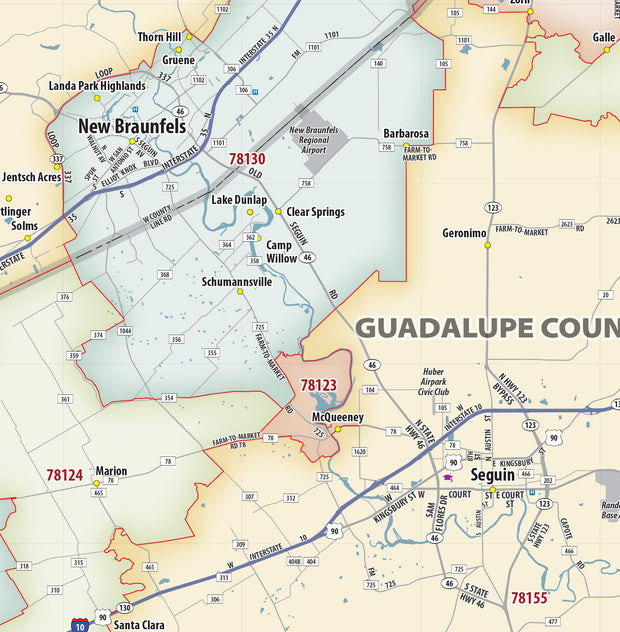
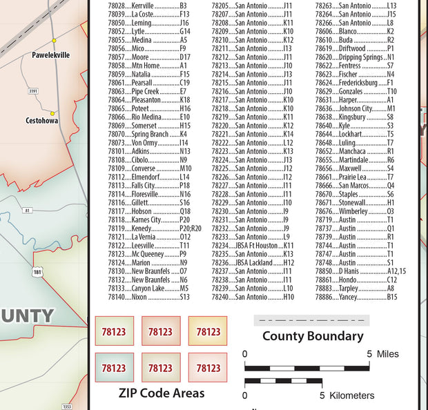
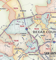
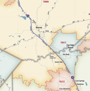
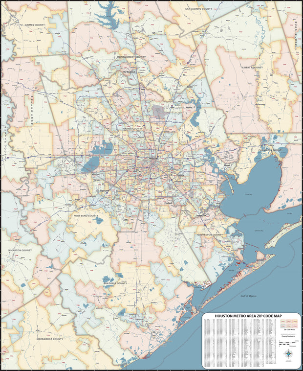
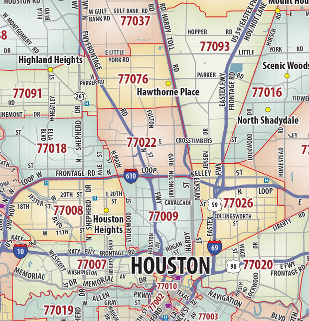
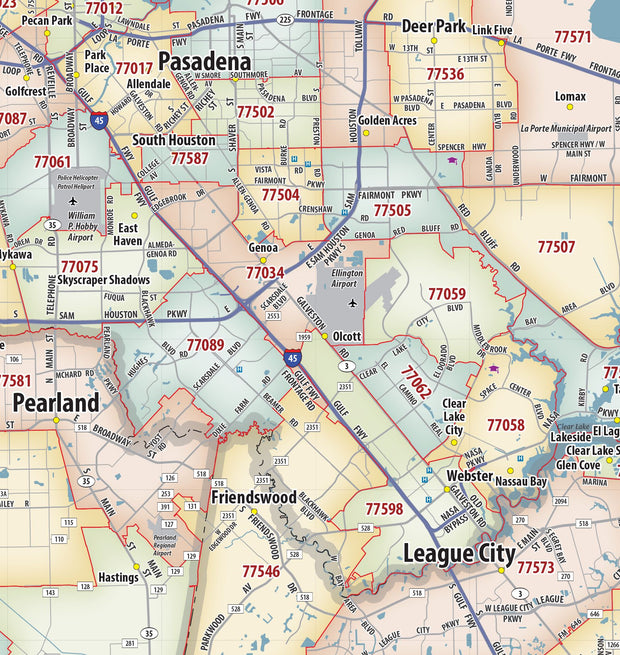
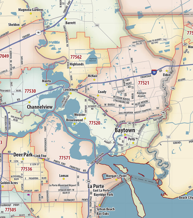
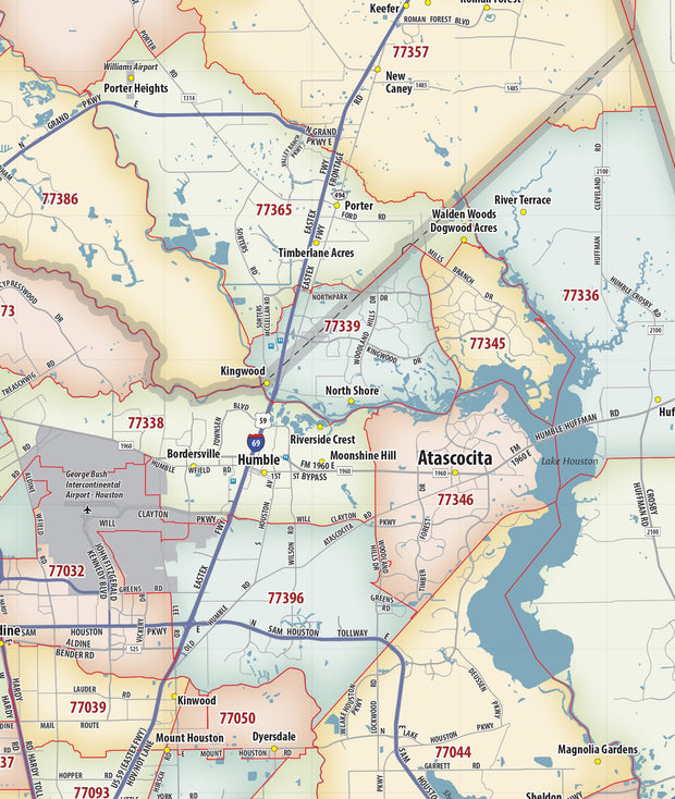
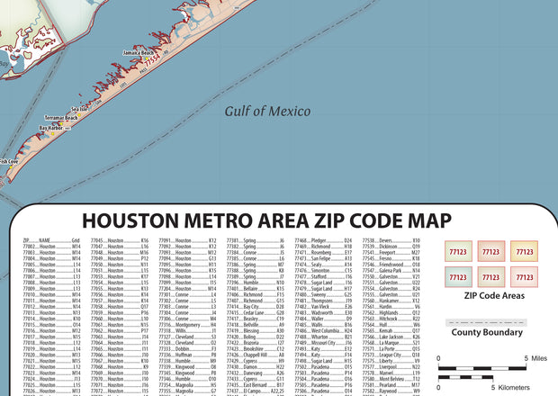
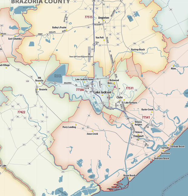
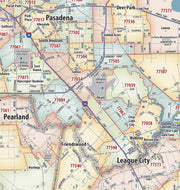
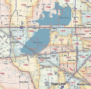
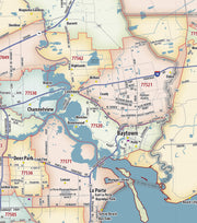
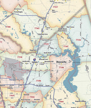
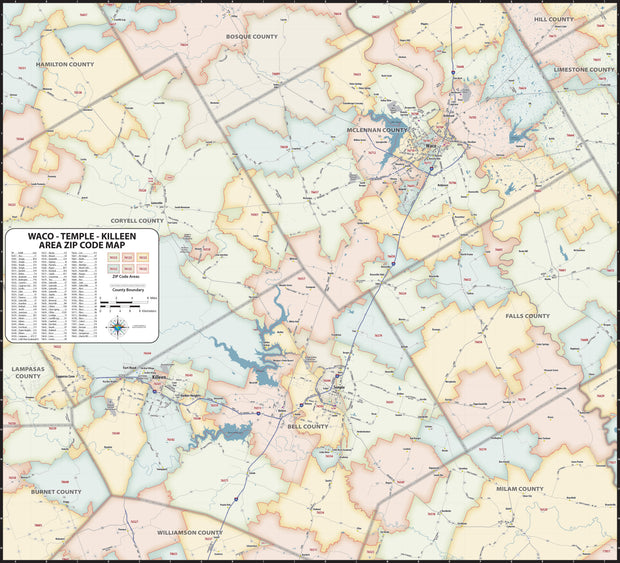
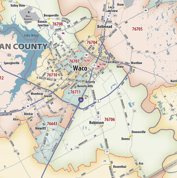
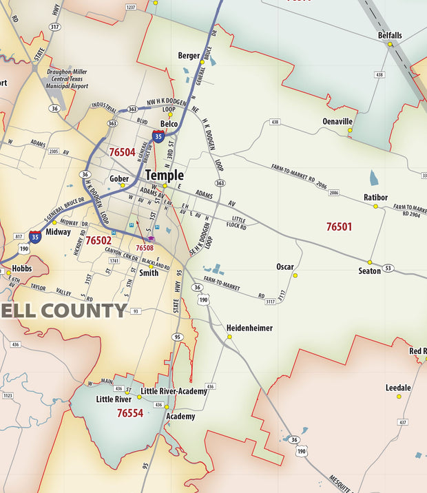
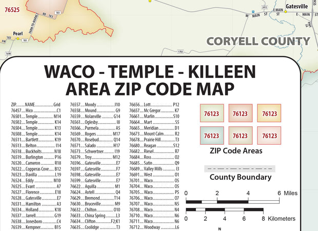
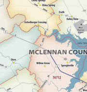
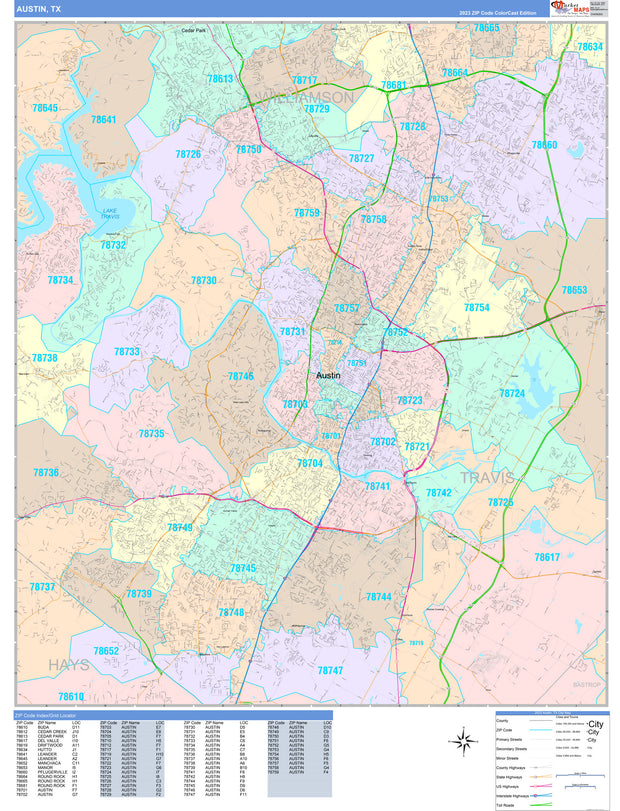
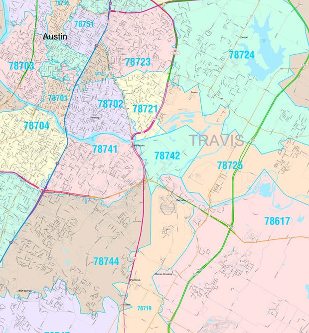
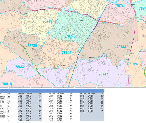
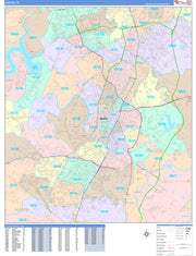
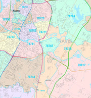
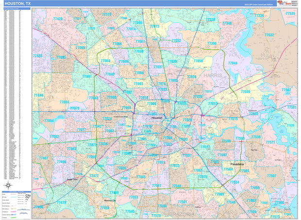
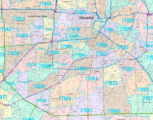
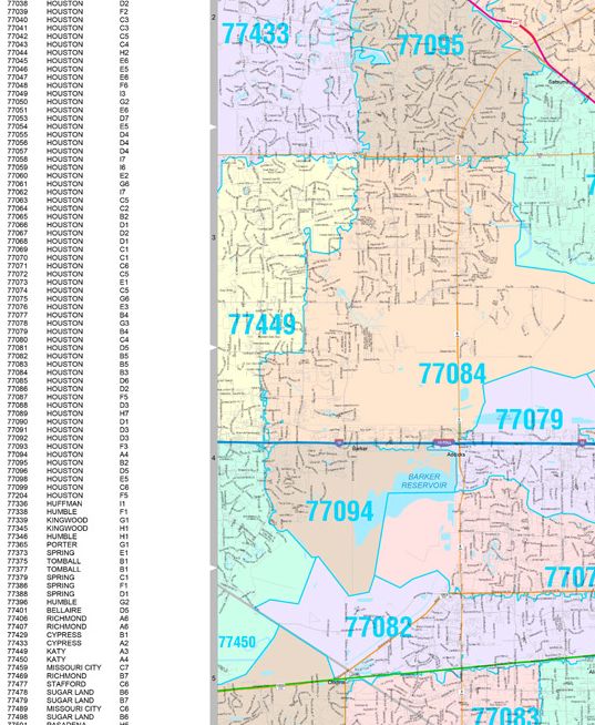
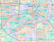
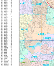
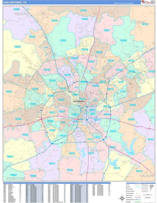
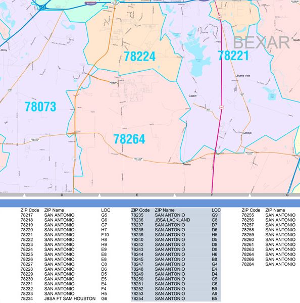
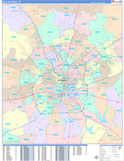
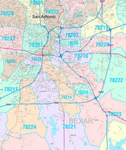
The Color Cast Style Texas State Map is a multi-colored display that shades each geographic area (county) with its own background color. It is an ideal choice for applications that benefit from quickly and easily distinguishing one County from the others.
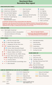
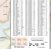
Features include:
- Interstate/Us/State Highways
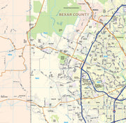
- County Names and boundaries
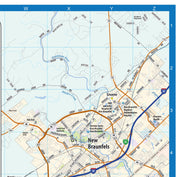
- Cities and Towns as applicable
- All water boundaries
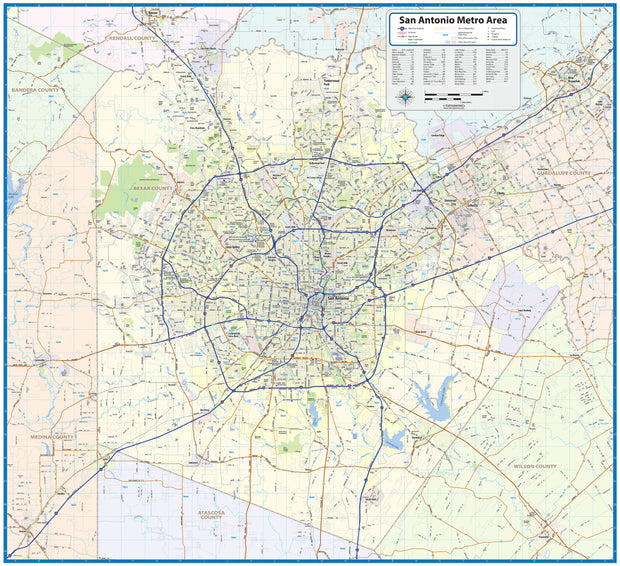
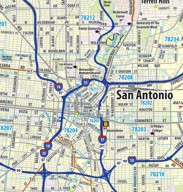
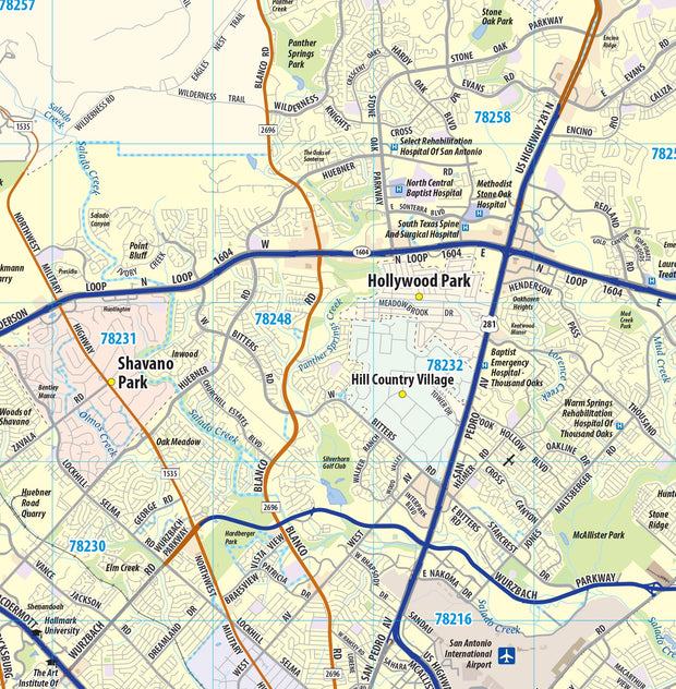
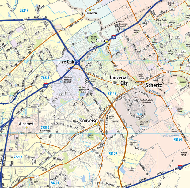
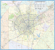
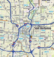
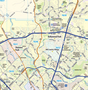
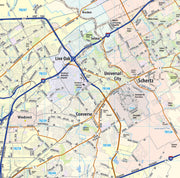
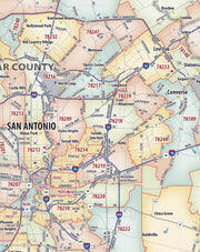
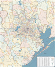
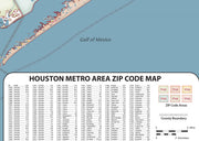
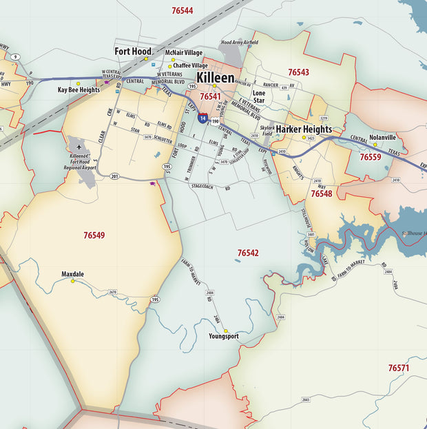
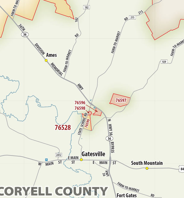
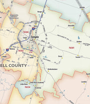
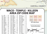
Insets of: Corpus Christi, San Antonio, Austin, Amarillo, Beaumont, Galveston, Fort Hood, Abilene, Lubbock, Houston, Waco, Bryan, Wichita Falls, Longview, Mc Allen, El Paso, Dallas/Ft Worth