
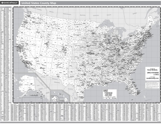


USWM004GA
The Compart Maps USA Wall Map is beautifully illustrated with vibrant greens, browns and blues. The detail is highly legible with state borders clearly defined. In classic Antique Atlas style, this map can be used for general reference, to track current events, or as a piece of art. Perfect for an office, classroom or decorating a library, this map is a designer's delight.
This map comes rolled and ships in a sturdy cardboard tube.
Can't say enough about the excellent customer service of this company. My original shipment was mis-delivered by the delivery service and I needed a replacement quickly. They jumped in quickly and sent a replacement which arrived just in time. So refreshing to have REAL customer service from an online purchase...for a change! Thank you American Map Store for my USA Decorators Wall Map! I'd buy from you again in a heartbeat.
