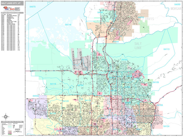
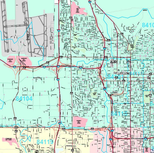
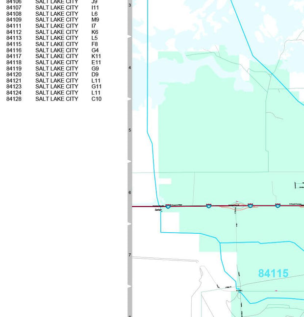
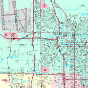
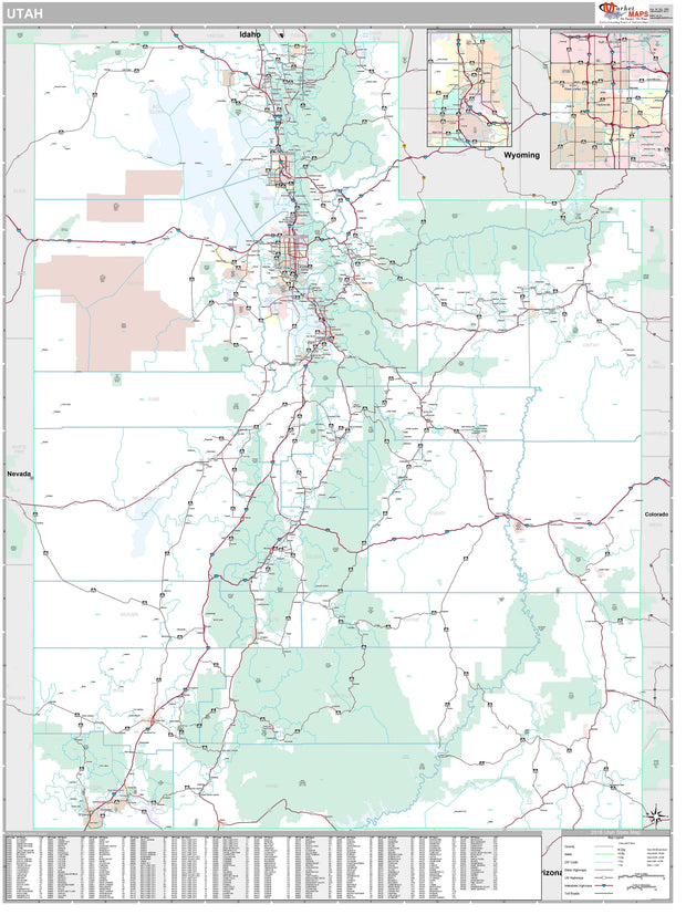
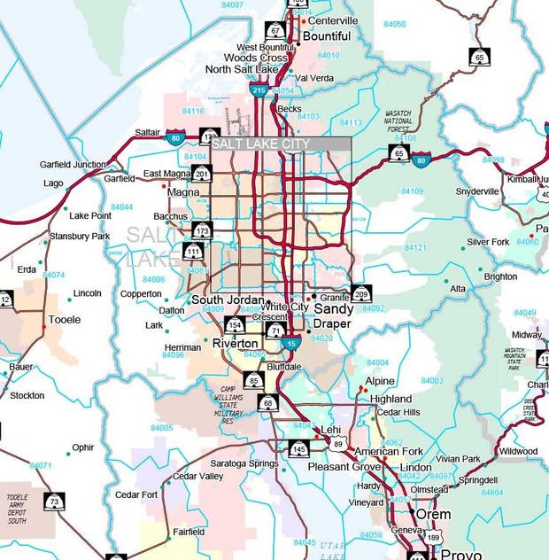
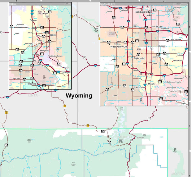
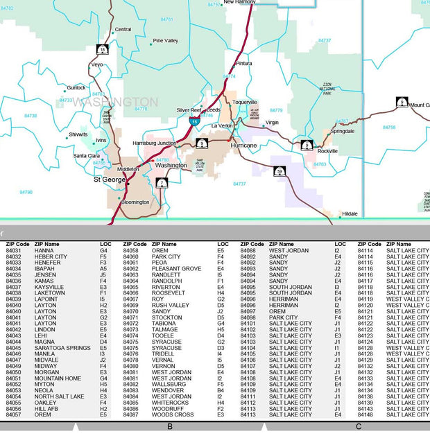
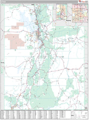
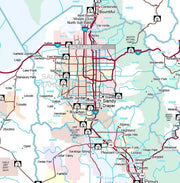
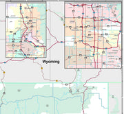
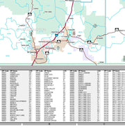
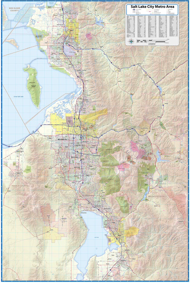
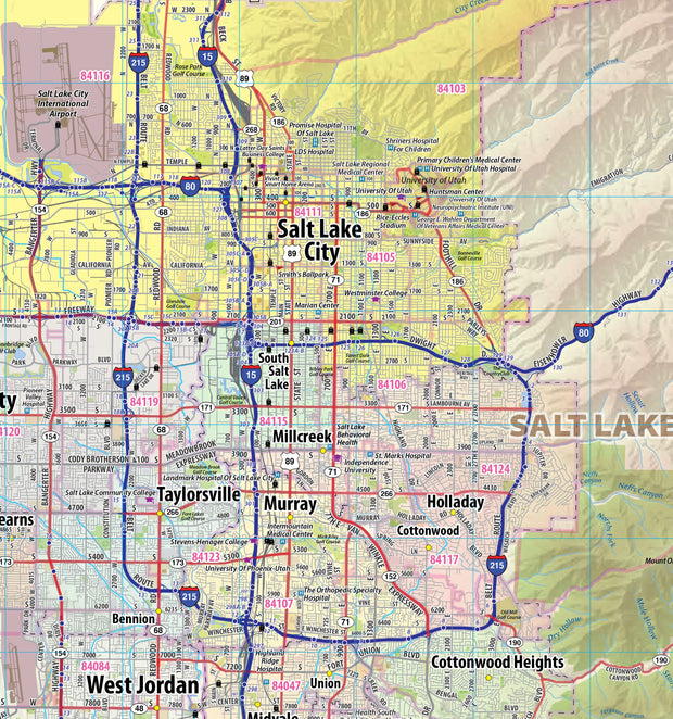
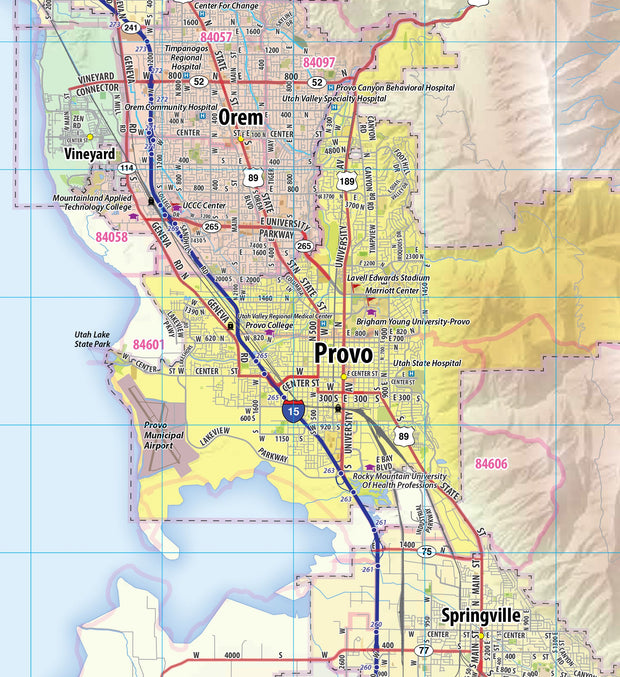
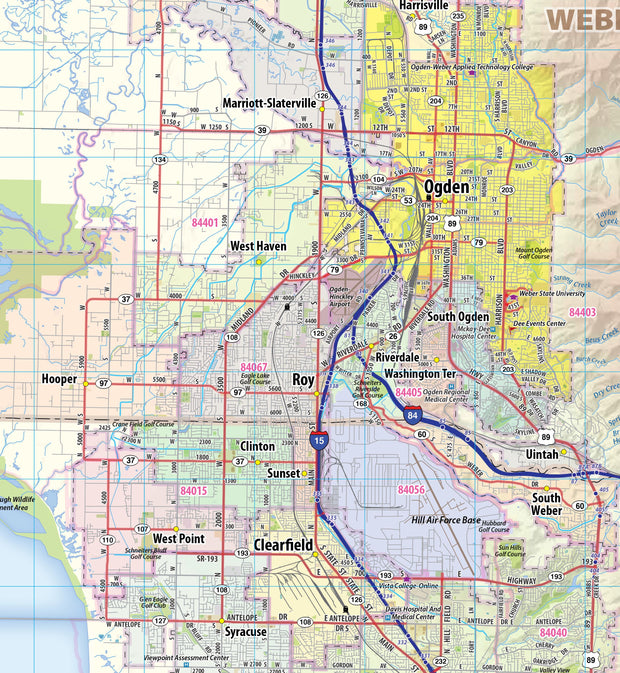
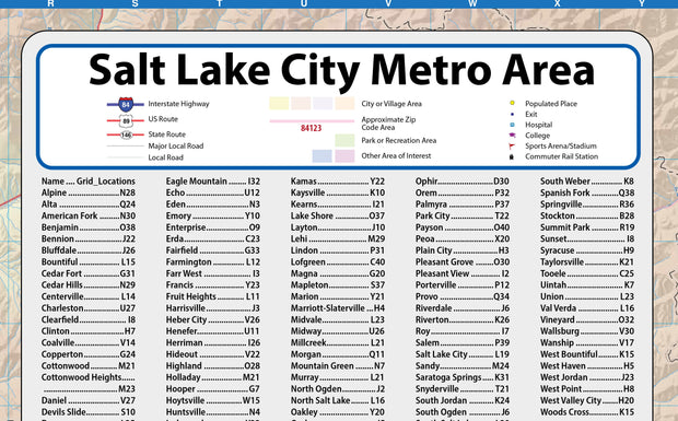
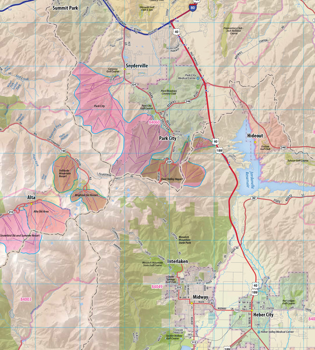
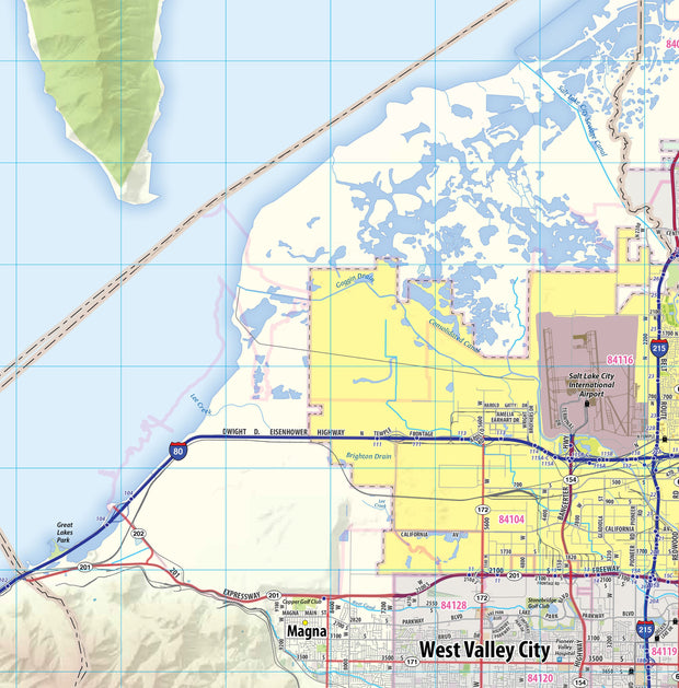
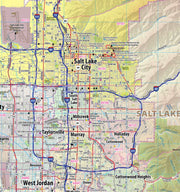
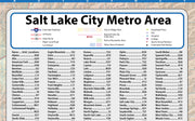
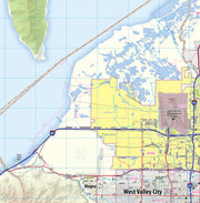
This wall map of the Greater Salt Lake City Metro area showing locations within 30 miles of downtown Salt Lake City, including parts of Salt Lake, Davis, Morgan, Summit, Weber Wasatch, and Utah Counties. Communities included are Salt Lake City, Ogden, Layton, Bountiful, Sandy, Lehi, Orem, Park City, and Provo, among others. Features shown include cities, towns, major roads and highways, zip codes, and major points of interest. An index of community names is included. The map is rolled and shipped in a tube.
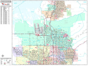
This map is rolled and shipped in a sturdy cardboard tube.