Virginia: Wall Maps
Virginia Wall Maps
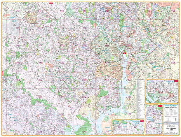
DCWM100
D.C.-area residents, businesses, and government offices are sure to find this wonderful reference tool irreplaceable.
Note: This map is not available for gift wrapping. Please allow 7-10 days for shipping.
Coverage area extends:
Dimensions: 79" x 60"