
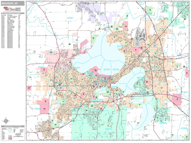
WIWM100
This map is rolled and shipped in a sturdy cardboard tube.
Coverage area extends approximately 79 miles north-to-south and 66 miles east-to-west and is roughly bounded by Fox Lake, WI; east to Cedar Grove, WI; south to Winthrop Harbor, IL; and west to Janesville, WI.


WIWM001-1
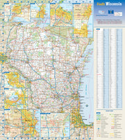
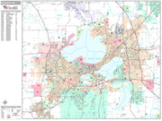
Wisconsin by Rand McNally
Description
Rand McNally's state wall map of Wisconsin is ideal for anyone needing a comprehensive representation of the area for planning, routing, or reference. It is an excellent choice for business and sales strategy, urban development, social work outreach, education, and marketing. State residents, businesses, and government offices are sure to find this wonderful reference tool irreplaceable.
The laminated wall map is printed with UV-resistant ink to help prevent color fading.
Map details include federal, state, and county highways, county boundaries, cities and towns, major waterways, state/national parks, campsites, exit numbers, rest areas, military installations, airports, golf courses, universities, and much more.
You will also find a city/county index on the map, a comprehensive map legend, a distance chart with mileages between various cities, and a mileage/driving times map.
This truly complete wall map even includes a hanging kit with rails for easy mounting just about anywhere.
Coverage Area
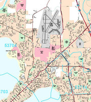
Inset maps: Appleton, Duluth, MN/Superior, Eau Claire, Green Bay, Janesville/Beloit, Kenosha/Racine, La Crosse, Madison, Milwaukee & Vicinity, Central Milwaukee, Oshkosh, and Sheboygan.
This map is rolled and shipped in a sturdy cardboard tube.

WIWM002
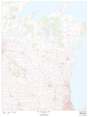
This colorful, easy-to-read state map of Wisconsin identifies all major thoroughfares, secondary roads, freeway interchanges, rest areas, distance markers, landmarks, recreational areas, and more. Shaded relief on the state map provides a three-dimensional sense of Wisconsin's topography. Detailed city inset maps of Appleton, Green Bay, Madison, Milwaukee, Oshkosh, and Racine/Kenosha are based on the latest street information from our cartographic experts. County and city indices make it simple to locate even the smallest town.
This map is rolled and shipped in a sturdy cardboard tube.
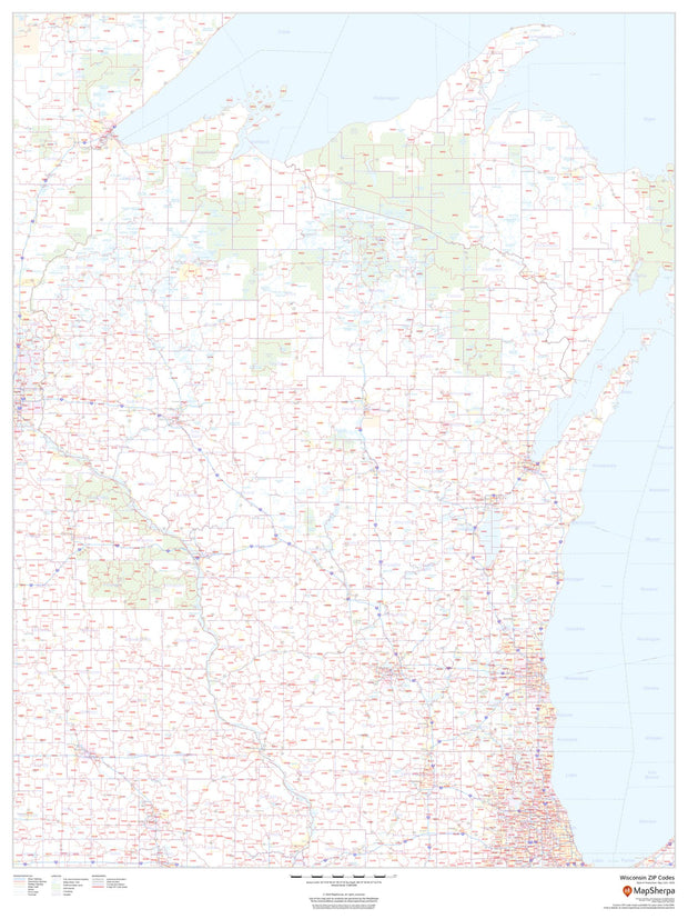
WIWM003
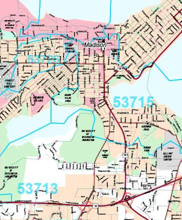
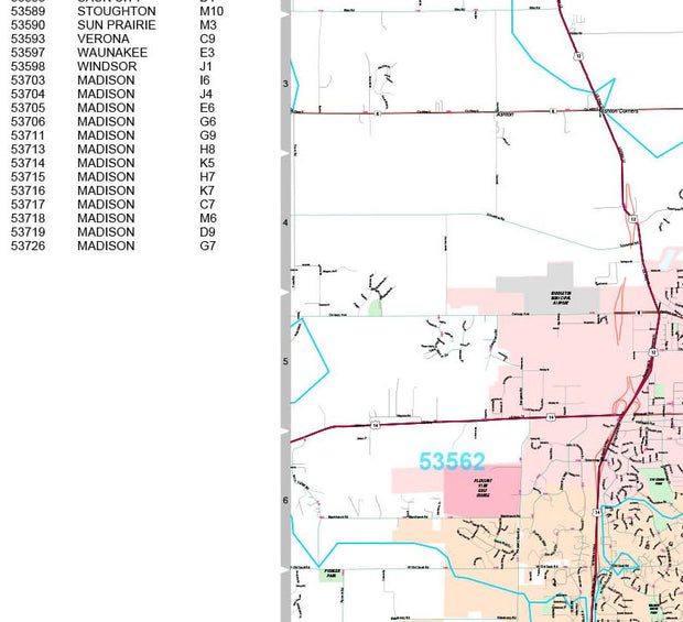
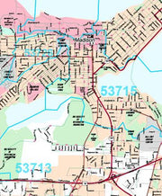
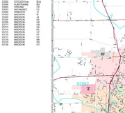
This map of Wisconsin shows ZIP codes overlaid on a road map. Base map features include county boundaries, major road network features, and state and national parks and conservation areas.
This map is rolled and shipped in a sturdy cardboard tube.

WIWM101-1
Save money on our full line of wall maps from one of the industry leaders in wall maps. These always up to date, eye catching wall maps come in a variety of sizes and finishing options sure to meet your specific mapping needs.
Features include:
Note: Major streets & highways available in all sizes. All streets & highways only available in larger sizes and will show unavailable in smaller sizes.
This map is rolled and shipped in a sturdy cardboard tube.