
WYWM005-1
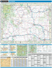
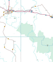
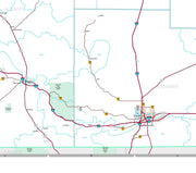
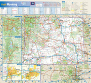
Wyoming is home to both Grand Teton and Yellowstone National Parks in its northwest corner, but there are more mountain ranges and rivers that extend beyond these iconic parks. This wall map illustrates The Cowboy State’s complete public land coverage and the scenic roadways that connect the Wind River Range to the Laramie Range, the Medicine Bow Mountains to the Bighorn Mountains, and the historic sites and recreation opportunities throughout.
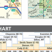
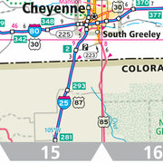
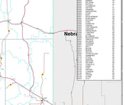
If outdoor adventure and recreation is your thing, this is the map for you. This map is loaded with points of interest from camping sites, hiking trails, fishing spots, and bird watching locations ( see legend shown on 2nd picture) this map depicts all the best recreation locations. Not only functional this exquisite map uses shaded relief to portray the land a technique which combines shading with elevation tints that portray landforms much more clearly than contour lines. These techniques and elevation colors make mountains, highlands and valleys immediately obvious.
Beautiful as well as functional this map will look great in a home, office, cabin, RV or wherever you choose to hang it
WYWM001
WYWM004-1
Save money on our full line of wall maps from one of the industry leaders in wall maps. These always up to date, eye catching wall maps come in a variety of sizes and finishing options sure to meet your specific mapping needs.
Features include:
WYWM002-1
WYWM003-1
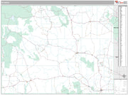
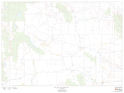
This map of Wyoming shows ZIP codes overlaid on a road map. Base map features include county boundaries, major road network features, and state and national parks and conservation areas.
48"W x 36"H
Welcome to the American Map Store
where every item has a free
shipping option!


