Pacific and Atlantic Rail Road between San Francisco & San Jose, 1851
CA00025
Regular price
$39.95
Pacific and Atlantic Rail Road between San Francisco & San Jose, 1851 This beautiful antique map reproduction is printed on heavy acid-free stock with fade proof inks and is excellent for framing.
35"W x 10"H
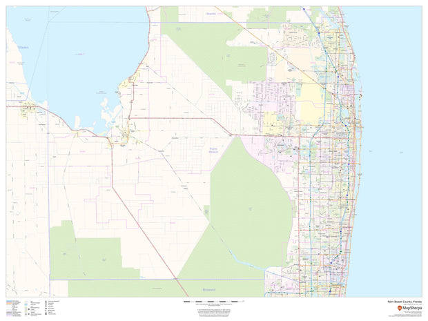
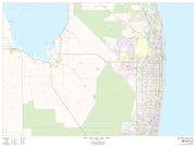
Palm Beach County Wall Map
FLWM105-1
Regular price
$59.95
This map of Palm Beach County, Florida shows regional level information. Base map features include highways and major roads with labelling; railways; high level land use such as parks and recreation areas; and a selection of points of interest including transportation hubs like airports and train stations, tourist information and police stations. ZIP code boundaries are shown as a secondary map feature.
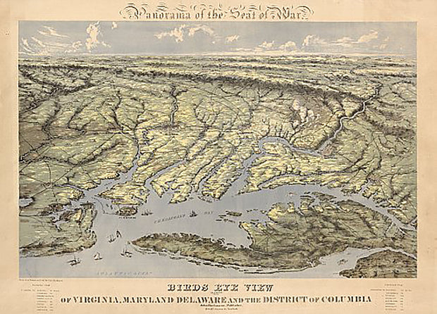
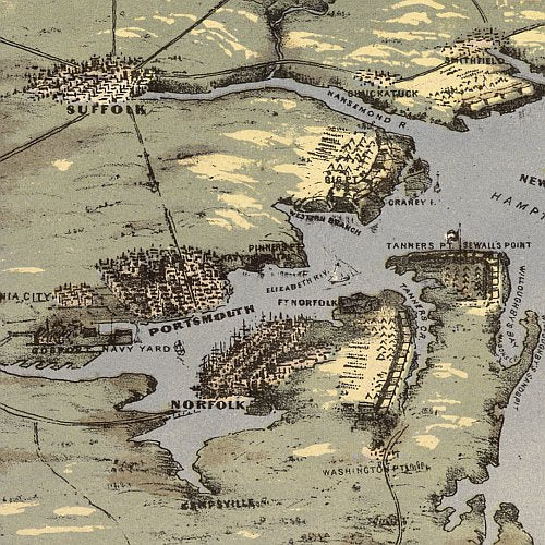
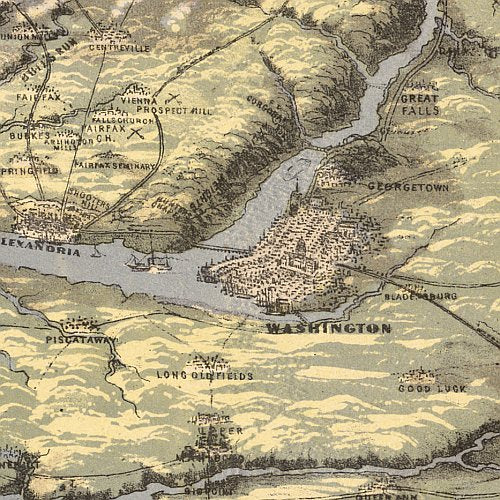
Panorama of the seat of war. Birds eye view of Virginia, Maryland, Delaware, and the District of Columbia, by John Bachmann
VACW011
Regular price
$39.95
Panorama of the seat of war. Birds eye view of Virginia, Maryland, Delaware, and the District of Columbia, by John Bachmann This beautiful antique map reproduction is printed on heavy acid-free stock with fade proof inks and is excellent for framing.
26"W x 19"H
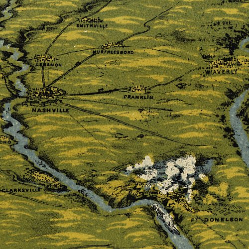
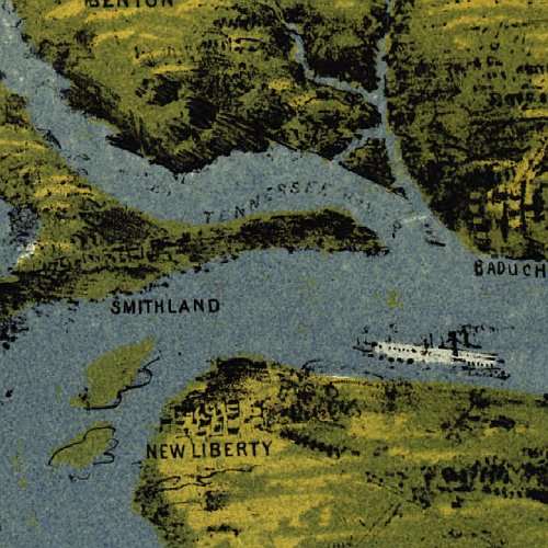
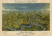
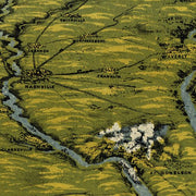
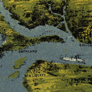
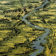
Panorama of the seat of war; Birds eye view of Kentucky and Tennessee...by John Bachmann, 1862
KYCW018
Regular price
$39.95
Panorama of the seat of war; Birds eye view of Kentucky and Tennessee...by John Bachmann, 1862 This beautiful antique map reproduction is printed on heavy acid-free stock with fade proof inks and is excellent for framing.
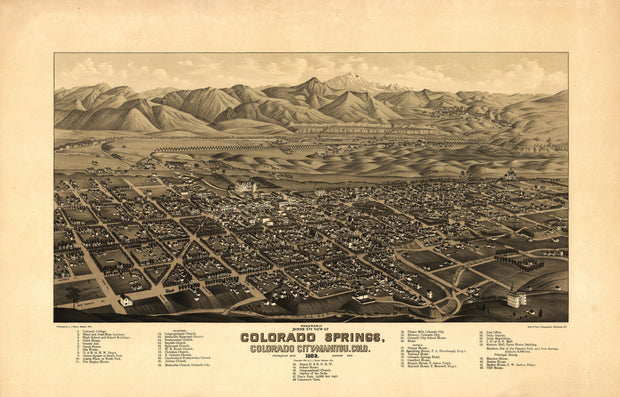
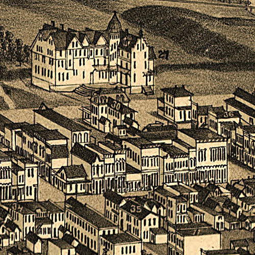
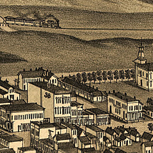
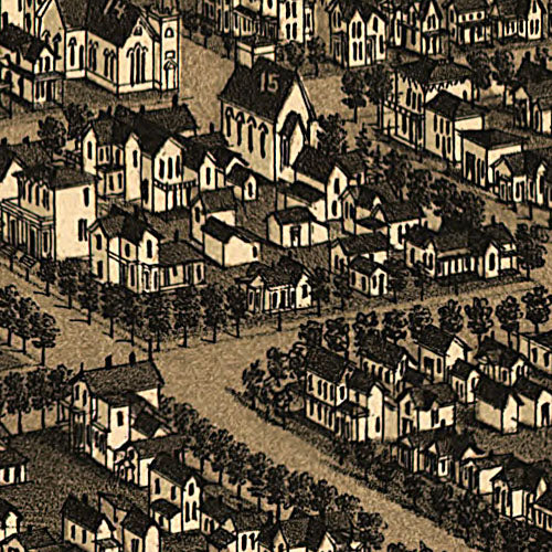
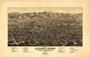
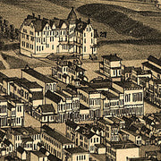
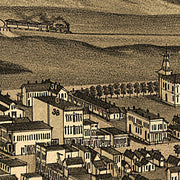
Panoramic bird's eye view of Colorado Springs, Colorado City and Manitou, Colo 1882
CO00022
Regular price
$39.95
This beautiful antique map reproduction is printed on heavy acid-free stock with fade proof inks and is excellent for framing.
PUB. DATE: c1882 SIZE: 16" x 25" Detailed drawings of every structure in town. Street names. Index listing 42 schools, churches, businesses and public buildings.
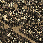
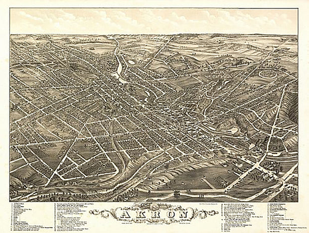
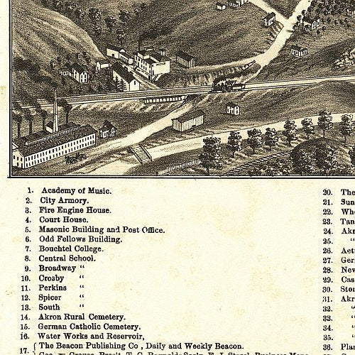
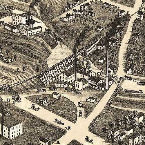
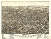
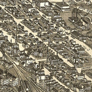
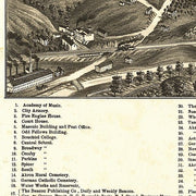
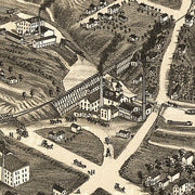
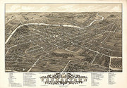
Panoramic view of Akron, Ohio by Beck & Pauli, 1882
OH00001
Regular price
$39.95
Panoramic view of Akron, Ohio by Beck & Pauli, 1882 This beautiful antique map reproduction is printed on heavy acid-free stock with fade proof inks and is excellent for framing.
28"W x 21"H
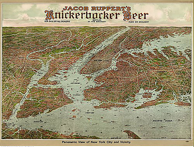
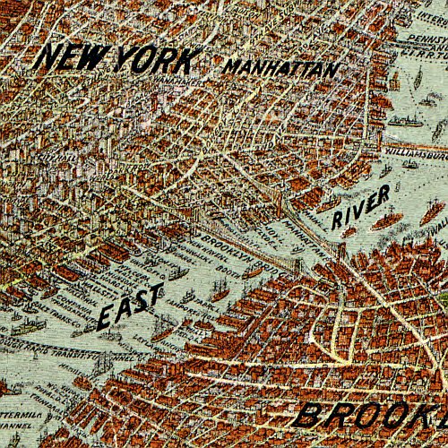
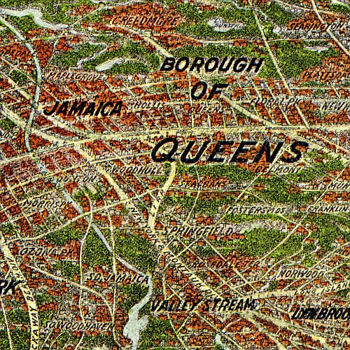
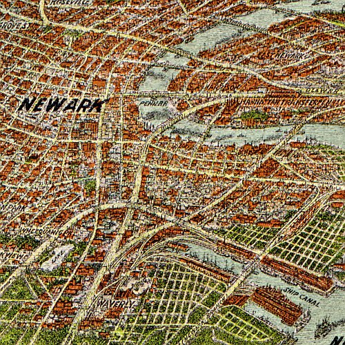
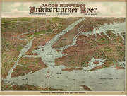
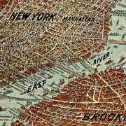
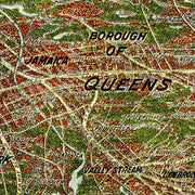
Panoramic view of New York City and vicinity, 1912
NY00022
Regular price
$39.95
Panoramic view of New York City and vicinity, 1912. This beautiful antique map reproduction is printed on heavy acid-free stock with fade proof inks and is excellent for framing.
28"W x 21"H
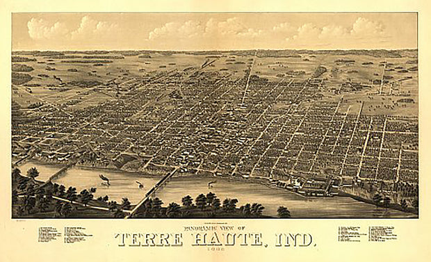
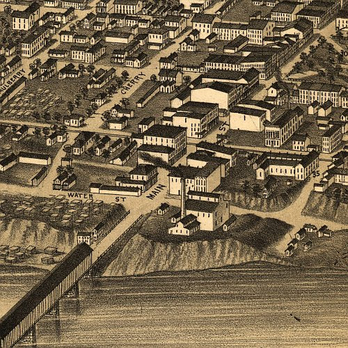
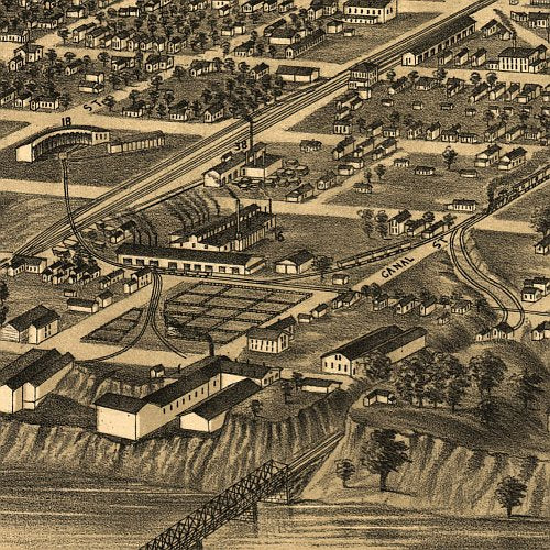
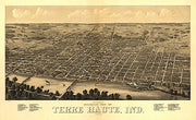
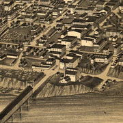
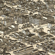
Panoramic view of Terre Haute, Indiana by Beck & Pauli, 1880
IN00033
Regular price
$39.95
Panoramic view of Terre Haute, Indiana by Beck & Pauli, 1880 This beautiful antique map reproduction is printed on heavy acid-free stock with fade proof inks and is excellent for framing.
35"W x 21"H
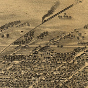
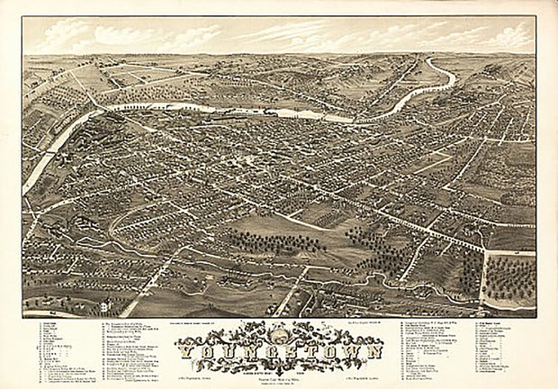
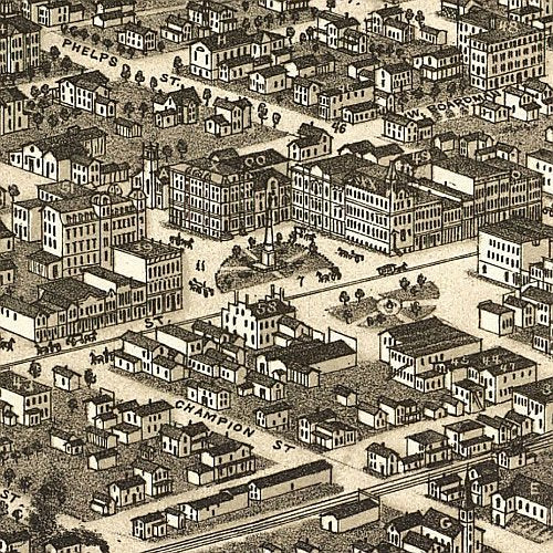
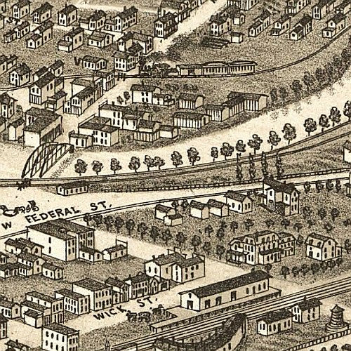
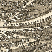
Panoramic view of the city of Youngstown, Ohio by A. Ruger, 1882
OH00029
Regular price
$39.95
Panoramic view of the city of Youngstown, Ohio by A. Ruger, 1882 This beautiful antique map reproduction is printed on heavy acid-free stock with fade proof inks and is excellent for framing.
28"W x 20"H
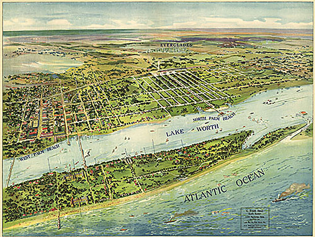
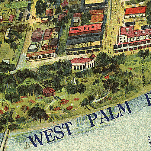
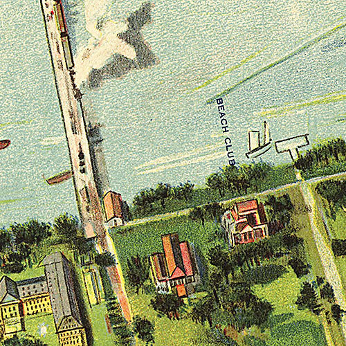
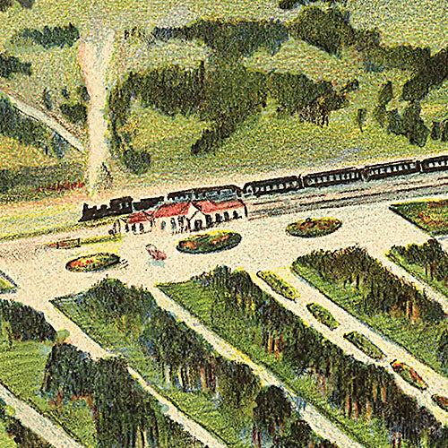
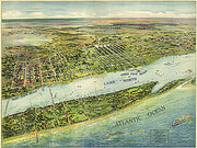
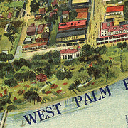
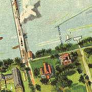
Panoramic view of West Palm Beach, North Palm Beach and Lake Worth, 1915
FL00017
Regular price
$39.95
Panoramic view of West Palm Beach, North Palm Beach and Lake Worth, 1915
This beautiful antique map reproduction is printed on heavy acid-free stock with fade proof inks and is excellent for framing.
39"W x 30"H
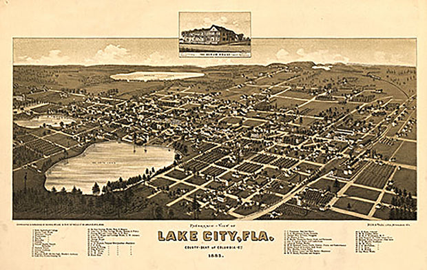
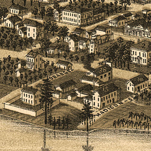
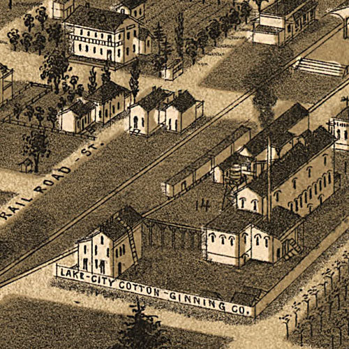
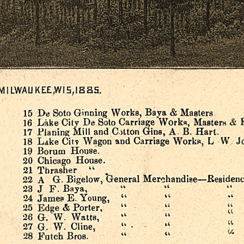
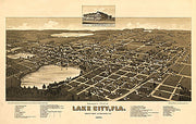
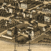
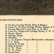
Panoramic-view of Lake City, Fla., 1885
FL00018
Regular price
$39.95
Panoramic-view of Lake City, Fla., 1885
This beautiful antique map reproduction is printed on heavy acid-free stock with fade proof inks and is excellent for framing.
25"W x 16"H
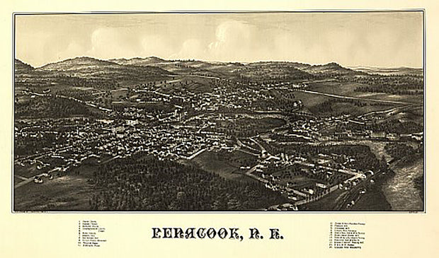
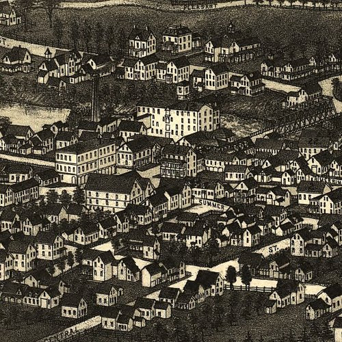
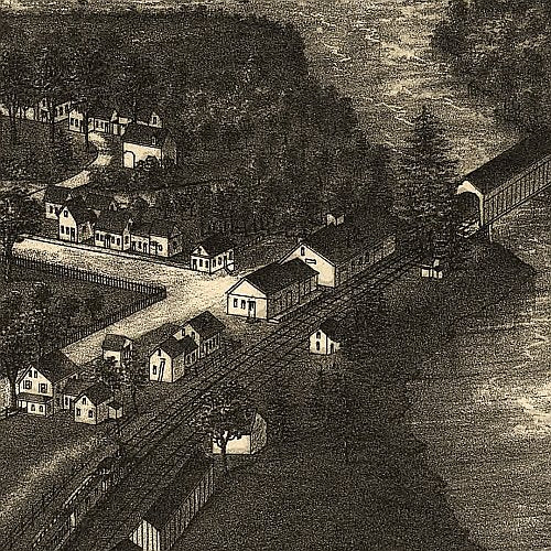
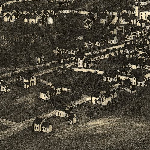
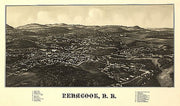
Penacook, New Hampshire by L. R. Burleigh, c1887
NH00019
Regular price
$39.95
Penacook, New Hampshire by L. R. Burleigh, c1887. This beautiful antique map reproduction is printed on heavy acid-free stock with fade proof inks and is excellent for framing.
27"W x 16"H
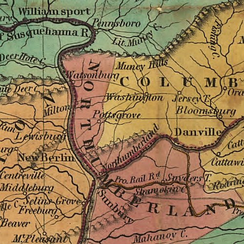
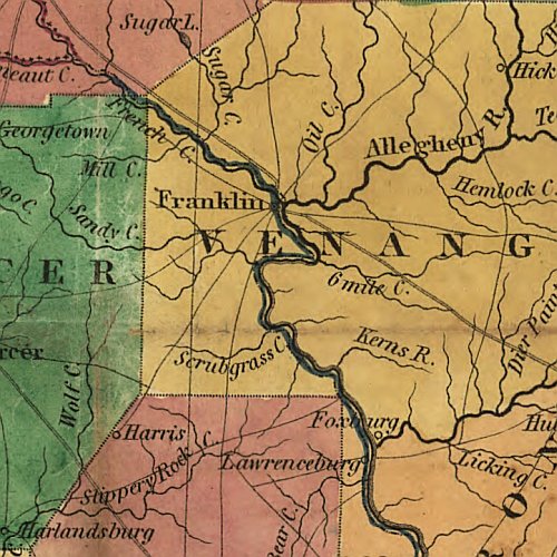
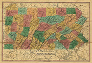
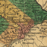
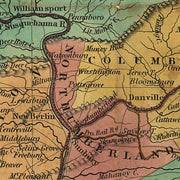
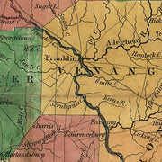
Pennsylvania by Anthony Finley, 1829
PA00043
Regular price
$39.95
Pennsylvania by Anthony Finley, 1829 This beautiful antique map reproduction is printed on heavy acid-free stock with fade proof inks and is excellent for framing.
26"W x 18"H
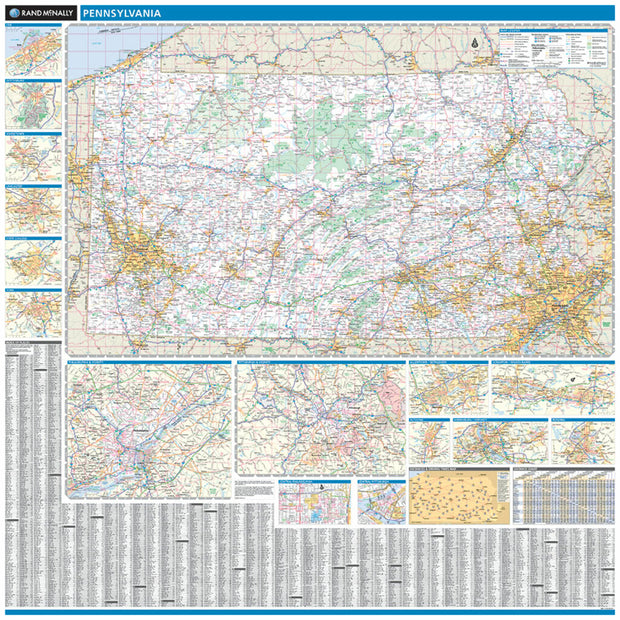
Pennsylvania by Rand McNally
PAWM001
Regular price
$229.00
Laminated with Hanging Rails
60" W x 60" H
Index of Counties and Cities
Fully Indexed Counties, Cities, Mileage Chart
Inset Maps of All Major Cities
Free Shipping!
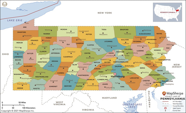
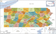
Pennsylvania County Map
PAWM004-1
Regular price
$39.95
This map has been created and designed for reference or business use. Clear and clean colors & fonts matched with cartographic research makes this map of Pennsylvania Counties Map easily readable and useful. The map shows the 67 counties of Pennsylvania and their borders across the Keystone State.
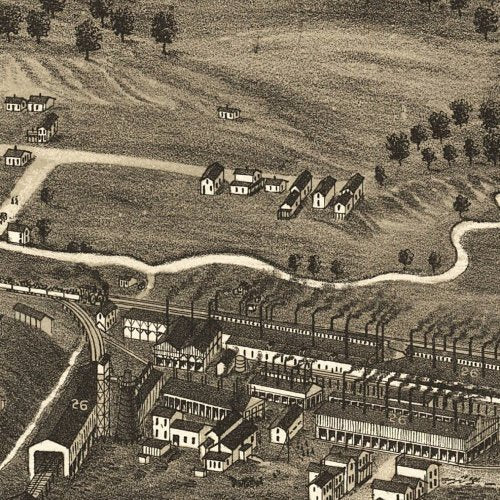
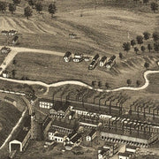
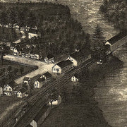
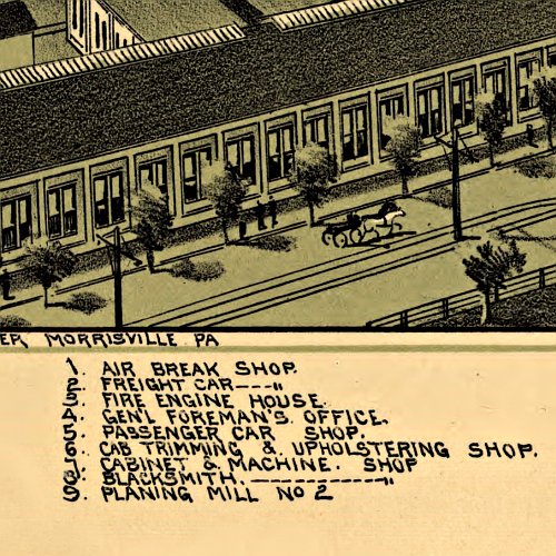
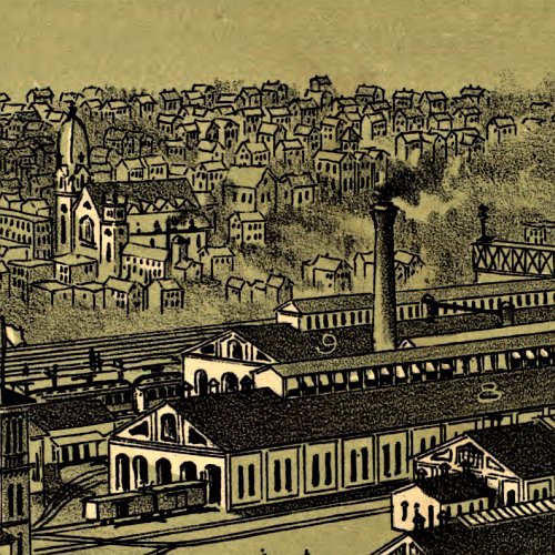
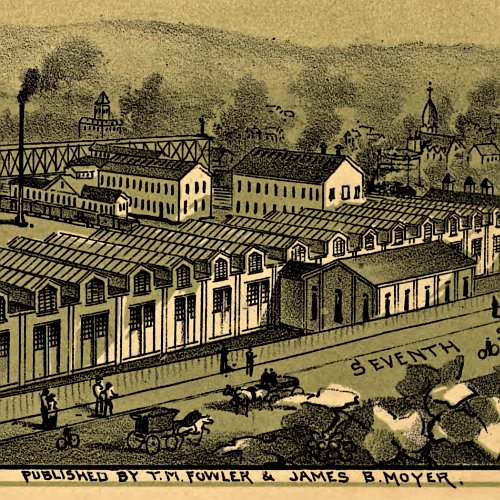
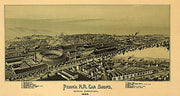
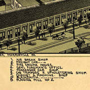
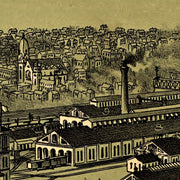
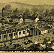
Pennsylvania R.R. Car shops in Altoona, PA by T. M. Fowler, 1895
PA00018
Regular price
$39.95
Pennsylvania R.R. Car shops in Altoona, PA by T. M. Fowler, 1895 This beautiful antique map reproduction is printed on heavy acid-free stock with fade proof inks and is excellent for framing.
30"W x 16"H
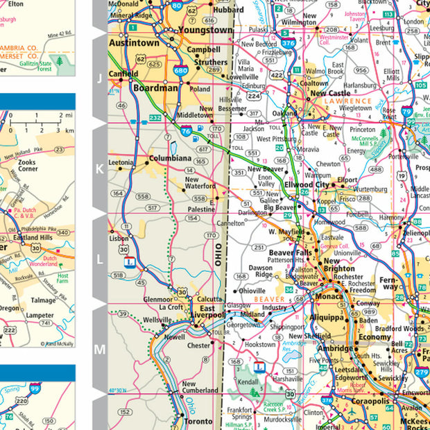
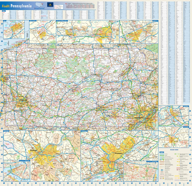
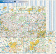
Pennsylvania Wall Map by Globe Turner
PAWM002-1
Regular price
$29.95
This colorful, easy-to-read state map of Pennsylvania identifies all major thoroughfares, secondary roads, freeway interchanges, rest areas, distance markers, landmarks, recreational areas, and more. Shaded relief on the state map provides a three-dimensional sense of Pennsylvania's topography. Detailed city inset maps of Allentown, Erie, Harrisburg, Lancaster, Philadelphia, Pittsburgh, Scranton/Wilkes-Barre, and State College are based on the latest street information from our cartographic experts. Up-to-date insets of center city Philadelphia and downtown Pitttsburgh provide must-see information on these tourist areas. County and city indices make it simple to locate even the smallest town.
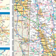
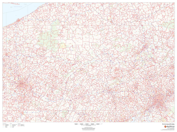
Pennsylvania Zip Code Map
PAWM003-1
Regular price
$59.95
This map of Pennsylvania shows ZIP codes overlaid on a road map. Base map features include municipality and county boundaries, major road network features, and state and national parks and conservation areas.
48"W x 36"H
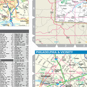
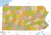
Pennsylvania Zip Code Map with Counties
PAWM005-1
Regular price
$39.95
This map has been created and designed for business or reference use. Clear and clean colors & fonts matched with cartographic research makes this Pennsylvania Zip Code Map with Counties easily readable and useful. The map shows the 67 counties of Pennsylvania and the borders of the over 1,700 zip codes across the Keystone State.