CAWN142
This exquisite wall map of San Diego uses shaded relief to portray the land and combines shading with elevation tints that portray landforms much more clearly than contour lines. These techniques and elevation colors make mountains, highlands and valleys immediately obvious.
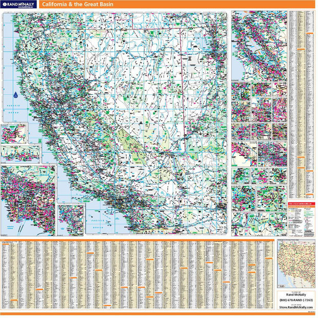
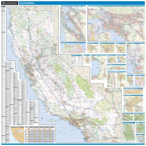
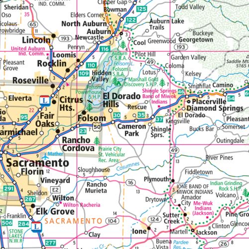
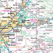
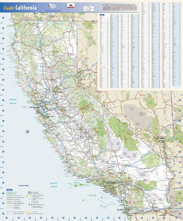
Wall map of the San Diego Metro area showing locations from Oceanside south to the Mexican border, including the communities of Carlsbad, Vista, San Marcos, Escondido, Encinitas, Del Mar, La Mesa, Santee, El Cajon, San Diego, Coronado, National City, Chula Vista, and Imperial Beach, among many others. Features shown include cities, towns, major roads and highways, zip codes, and major points of interest. An index of community names is included. The map is rolled and shipped in a tube.
42"W x 56"H
CAWM001
CAWM002
CAWM002-1
CAWM003-1
This map of California shows ZIP codes overlaid on a road map. Base map features include county boundaries, major road network features, and state and national parks and conservation areas.
36"W x48"H
CAWM006-1
California Antique Wall Map
Introducing the California Antique Wall Map/Mural. Beautifully illustrated with subtle antique parchment and earth tone hues, the detail is highly legible with borders clearly defined. In this unique Antique style, this map can be used for general reference, to track current events, or as a piece of art. Decorators will find the color scheme works beautifully with dark wood furniture and trim. With flexible sizes this mural is a designer's delight.
This California Antique Wall Map features:
Welcome to the American Map Store
where every item has a free
shipping option!