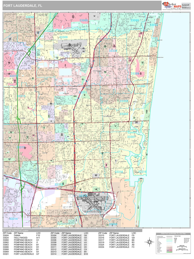
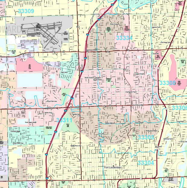
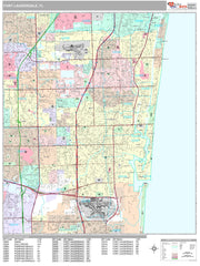
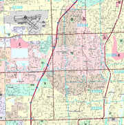
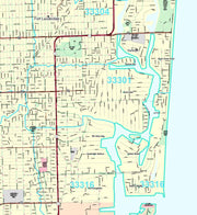
Premium Style Wall Map of Fort Lauderdale, FL. by Market Maps
FLWM112-1
Regular price
$118.75
Save money on our full line of wall maps from one of the industry leaders in wall maps. These always up to date, eye catching wall maps come in a variety of sizes and finishing options sure to meet your specific mapping needs.
Features include:
Interstate/Us/State Highways
5-Digit ZIP Codes
County Names and boundaries
Cities and Towns as applicable
All water
Institutions
Cemetery
Airports
Golf Courses
Parks
Populated Places Shaded
ZIP Code index with grid locator
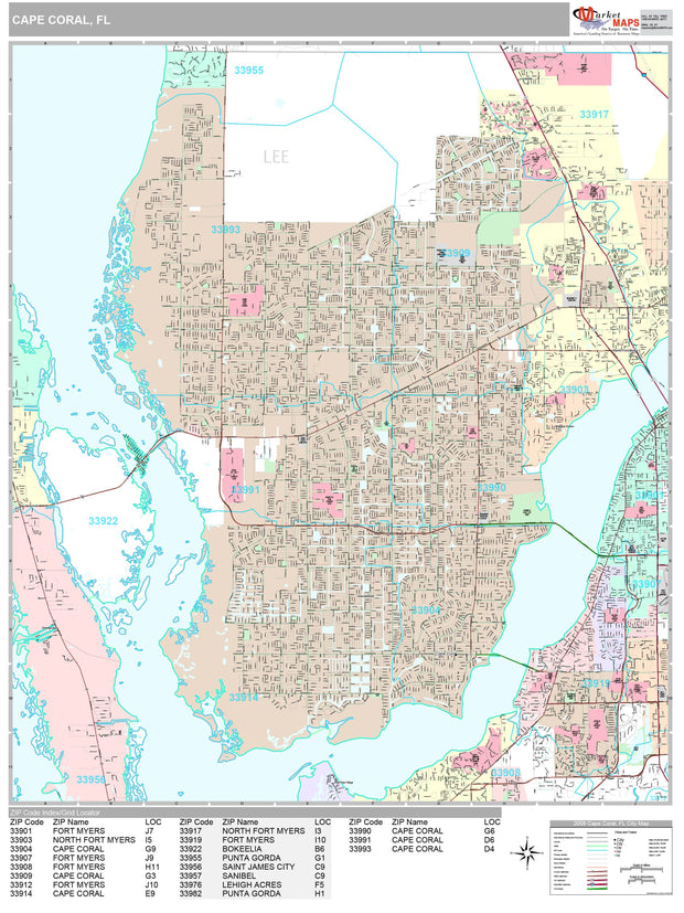
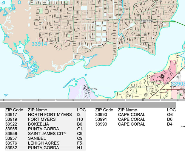
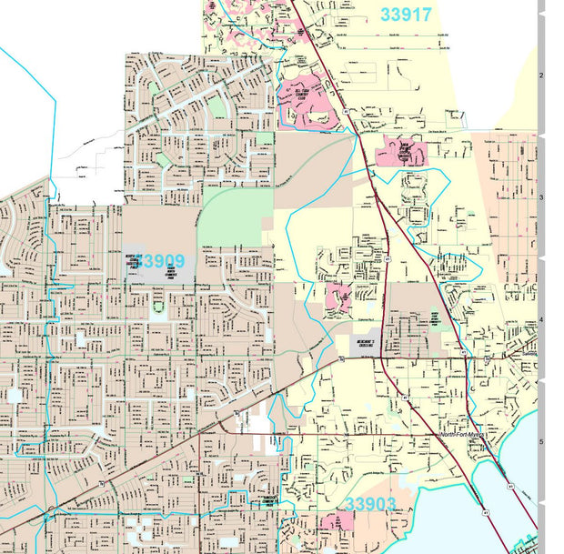
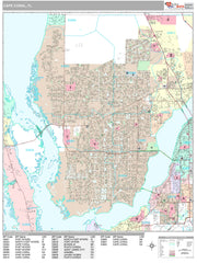
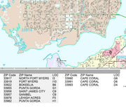
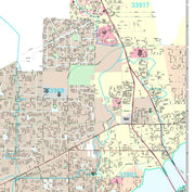
Premium Style Wall Map of Cape Coral, FL. by Market Maps
FLWM111-1
Regular price
$118.75
Save money on our full line of wall maps from one of the industry leaders in wall maps. These always up to date, eye catching wall maps come in a variety of sizes and finishing options sure to meet your specific mapping needs.
Features include:
Interstate/Us/State Highways
5-Digit ZIP Codes
County Names and boundaries
Cities and Towns as applicable
All water
Institutions
Cemetery
Airports
Golf Courses
Parks
Populated Places Shaded
ZIP Code index with grid locator
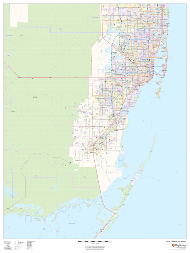
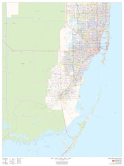
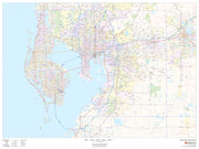
Miami - Dade County Wall Map
FLWM101-1
Regular price
$59.99
This map of Miami-Dade County, Florida shows regional level information. Base map features include highways and major roads with labelling; railways; high level land use such as parks and recreation areas; and a selection of points of interest including transportation hubs like airports and train stations, tourist information and police stations. ZIP code boundaries are shown as a secondary map feature.
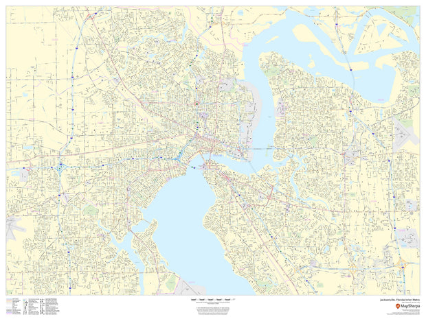
Jacksonville Wall Map (portrait)
FLWM110-1
Regular price
$59.95
This portrait-oriented map of central Jacksonville, Florida shows detailed street level information including extensive street labeling. Ideal for planning of deliveries, home services, sales territories, real estate and much more. Base map features include all roads with major roads and highways labelled; neighborhood names; railways; high level land use such as parks and recreation areas, industrial areas and hospital campuses; and a variety of points of interest including schools, libraries, stadiums, museums, border crossings and more.
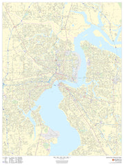
Jacksonville Wall Map
FLWM109-1
Regular price
$59.95
This portrait-oriented map of central Jacksonville, Florida shows detailed street level information including extensive street labeling. Ideal for planning of deliveries, home services, sales territories, real estate and much more. Base map features include all roads with major roads and highways labelled; neighborhood names; railways; high level land use such as parks and recreation areas, industrial areas and hospital campuses; and a variety of points of interest including schools, libraries, stadiums, museums, border crossings and more.
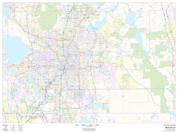
Orange County, Florida Wall Map
FLWM108-1
Regular price
$59.95
This map of Orange County, Florida shows regional level information. Base map features include highways and major roads with labelling; neighborhood names; railways; high level land use such as parks and recreation areas, industrial areas and hospital campuses; and a selection of points of interest including transportation hubs like airports and train stations, tourist information, police stations and shopping centres. ZIP code boundaries are shown as a secondary map feature.
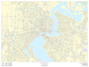
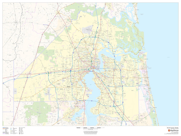
Duval County Wall Map
FLWM107-1
Regular price
$59.95
This map of Duval County, Florida shows regional level information. Base map features include highways and major roads with labelling; neighborhood names; railways; high level land use such as parks and recreation areas, industrial areas and hospital campuses; and a selection of points of interest including transportation hubs like airports and train stations, tourist information, police stations and shopping centres. ZIP code boundaries are shown as a secondary map feature.
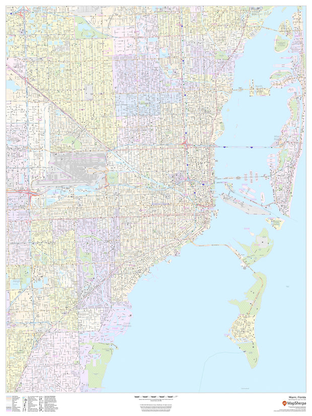
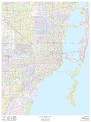
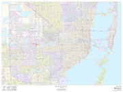
Miami Wall Map
FLWM106-1
Regular price
$59.95
This portrait-oriented map of Miami, Florida shows detailed street level information including extensive street labeling. Ideal for planning of deliveries, home services, sales territories, real estate and much more. Base map features include all roads with major roads and highways labelled; neighborhood names; railways; high level land use such as parks and recreation areas, industrial areas and hospital campuses; and a variety of points of interest including schools, libraries, stadiums, museums, border crossings and more.
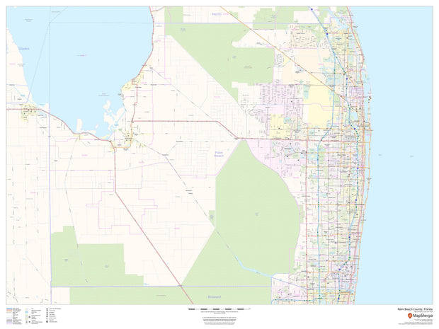
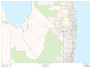
Palm Beach County Wall Map
FLWM105-1
Regular price
$59.95
This map of Palm Beach County, Florida shows regional level information. Base map features include highways and major roads with labelling; railways; high level land use such as parks and recreation areas; and a selection of points of interest including transportation hubs like airports and train stations, tourist information and police stations. ZIP code boundaries are shown as a secondary map feature.
Pinellas County Wall Map
FLWM104-1
Regular price
$59.95
This map of Pinellas County, Florida shows regional level information. Base map features include highways and major roads with labelling; neighborhood names; railways; high level land use such as parks and recreation areas, industrial areas and hospital campuses; and a selection of points of interest including transportation hubs like airports and train stations, tourist information, police stations and shopping centers. ZIP code boundaries are shown as a secondary map feature.
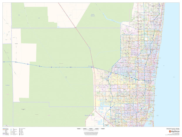
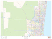
Broward County Wall Map
FLWM103-1
Regular price
$59.95
This map of Broward County, Florida shows regional level information. Base map features include highways and major roads with labelling; neighborhood names; railways; high level land use such as parks and recreation areas, industrial areas and hospital campuses; and a selection of points of interest including transportation hubs like airports and train stations, tourist information, police stations and shopping centres. ZIP code boundaries are shown as a secondary map feature.
Hillsborough County Wall Map
FLWM102-1
Regular price
$59.95
This map of Hillsborough County, Florida shows regional level information. Base map features include highways and major roads with labelling; railways; high level land use such as parks and recreation areas; and a selection of points of interest including transportation hubs like airports and train stations, tourist information and police stations. ZIP code boundaries are shown as a secondary map feature.
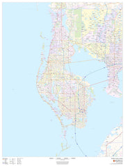
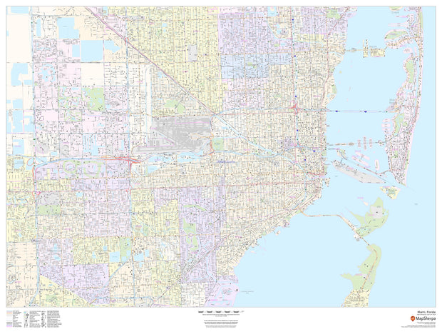
Miami Wall Map
FLWM100-1
Regular price
$59.95
This landscape-oriented map of Miami, Florida shows detailed street level information including extensive street labeling. Ideal for planning of deliveries, home services, sales territories, real estate and much more. Base map features include all roads with major roads and highways labelled; neighborhood names; railways; high level land use such as parks and recreation areas, industrial areas and hospital campuses; and a variety of points of interest including schools, libraries, stadiums, museums, border crossings and more.
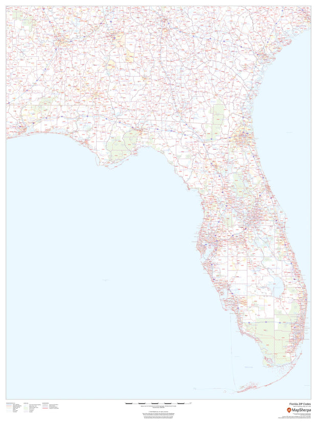
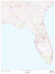
Florida Zip Code Map
FLWM003-1
Regular price
$59.95
This map of Florida shows ZIP codes overlaid on a road map. Base map features include county boundaries, major road network features, and state and national parks and conservation areas.
36"W x 48"H
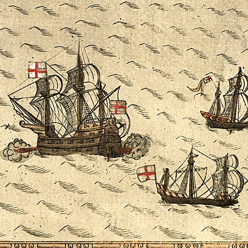
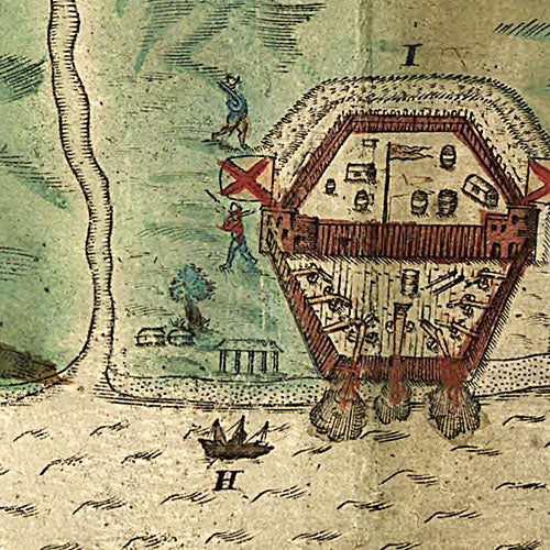
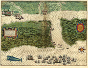
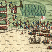
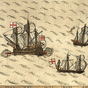
S. Augustini pars est terra Florida… 1589
FL00028
Regular price
$39.95
S. Augustini pars est terra Florida… 1589
This beautiful antique map reproduction is printed on heavy acid-free stock with fade proof inks and is excellent for framing.
20"W x 16"H
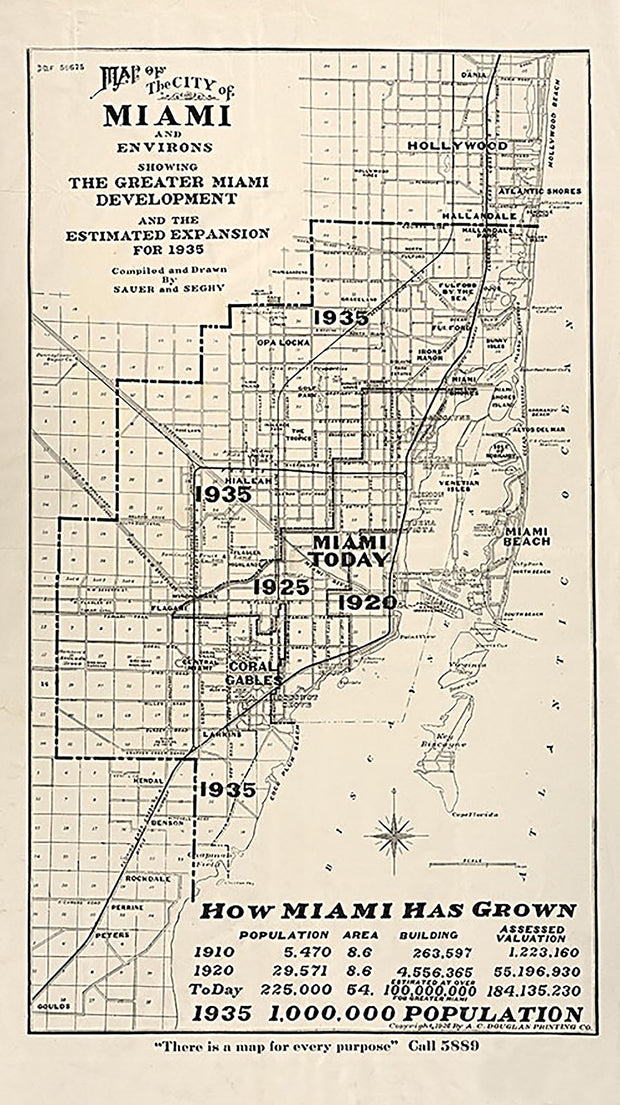
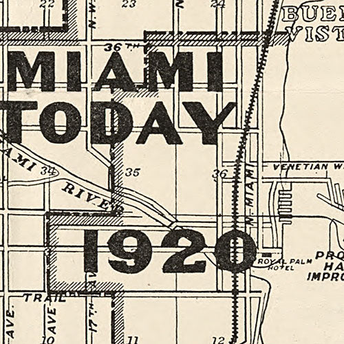
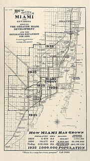
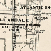
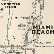
Map of the city of Miami and environs showing the greater Miami development and the estimated expansion for 1935
FL00027
Regular price
$39.95
Map of the city of Miami and environs showing the greater Miami development and the estimated expansion for 1935
This beautiful antique map reproduction is printed on heavy acid-free stock with fade proof inks and is excellent for framing.
14"W x 25"H
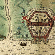
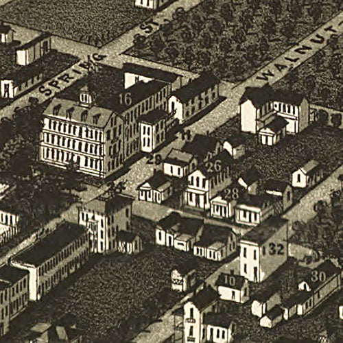
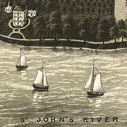
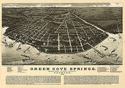
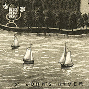
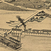
Green Cove Springs, county seat of Clay County, Florida, 1885
FL00026
Regular price
$39.95
Green Cove Springs, county seat of Clay County, Florida, 1885
This beautiful antique map reproduction is printed on heavy acid-free stock with fade proof inks and is excellent for framing.
23"W x 16"H
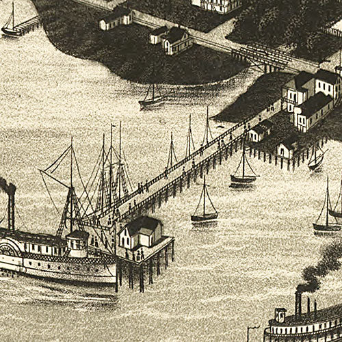
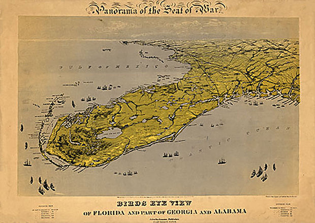
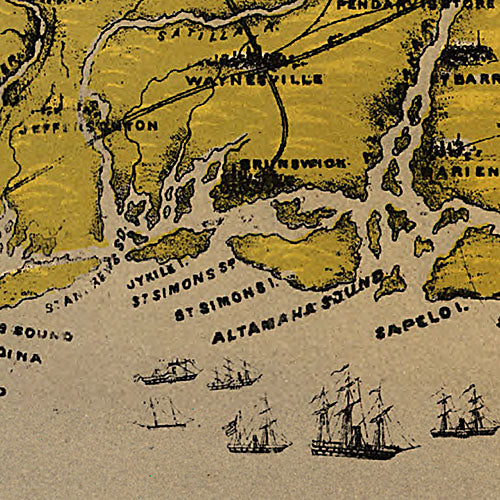
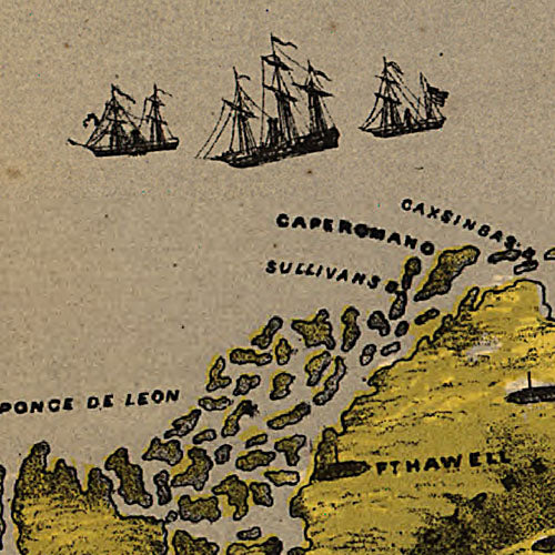
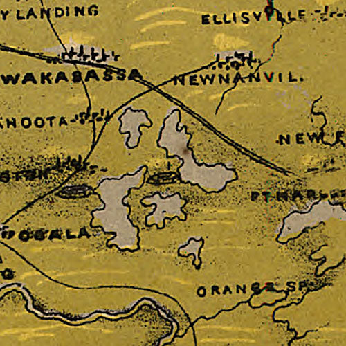
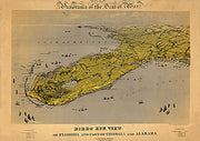
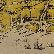
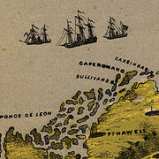
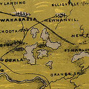
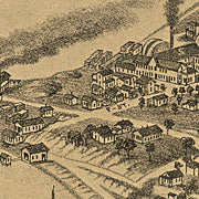
Birds eye view of Florida and part of Georgia and Alabama Drawn from nature, 1861
FL00025
Regular price
$39.95
Birds eye view of Florida and part of Georgia and Alabama Drawn from nature, 1861
This beautiful antique map reproduction is printed on heavy acid-free stock with fade proof inks and is excellent for framing.
28"W x 20"H
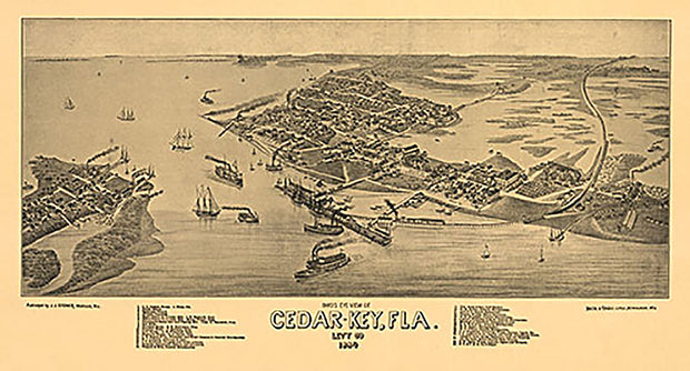
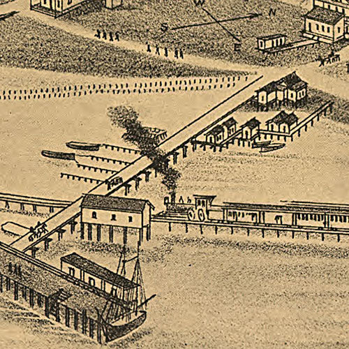
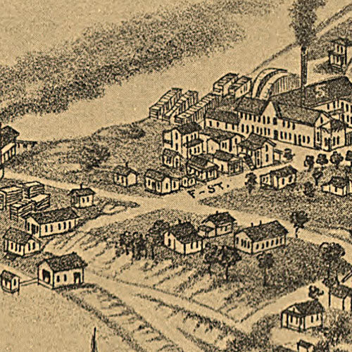
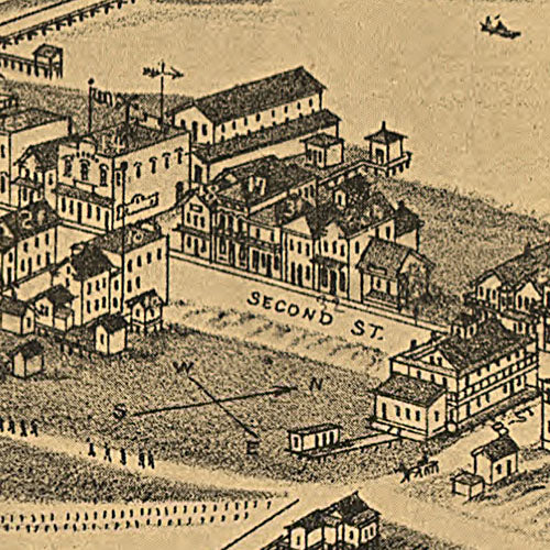
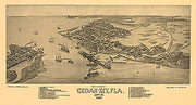
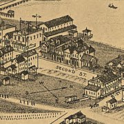
Bird's eye view of Cedar-Key, Fla., 1884
FL00024
Regular price
$39.95
Bird's eye view of Cedar-Key, Fla., 1884
This beautiful antique map reproduction is printed on heavy acid-free stock with fade proof inks and is excellent for framing.