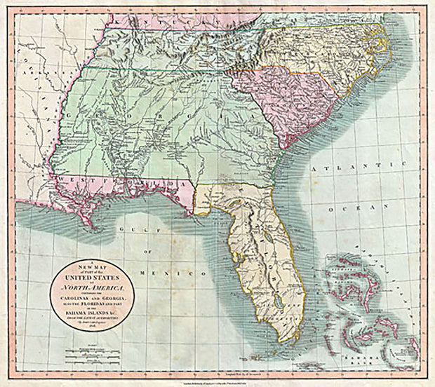
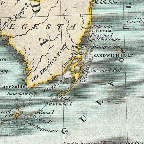
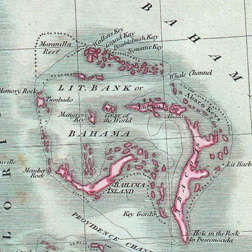
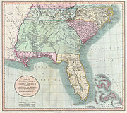
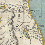
A New Map of Part of the United States of North America, Containing the Carolinas and Georgia, also the Floridas and Part of the Bahama Islands, 1806
FL00004
Regular price
$39.95
A New Map of Part of the United States of North America, Containing the Carolinas and Georgia, also the Floridas and Part of the Bahama Islands,1806.
This beautiful antique map reproduction is printed on heavy acid-free stock with fade proof inks and is excellent for framing.
21"W x 19"H
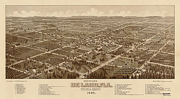
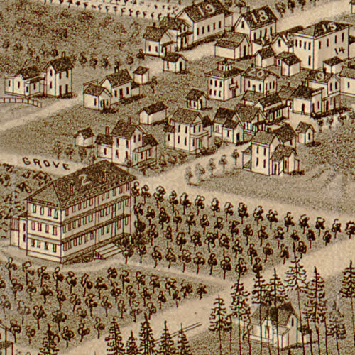
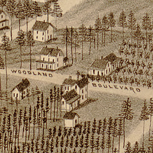
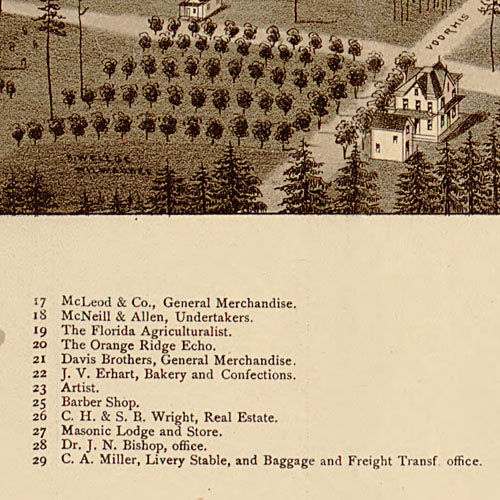
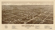
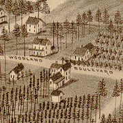
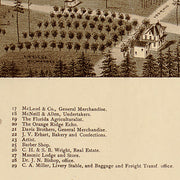
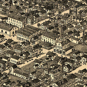
Bird's eye view of De Land Florida, 1884
FL00003
Regular price
$39.95
Bird's eye view of De Land Florida, 1884
This beautiful antique map reproduction is printed on heavy acid-free stock with fade proof inks and is excellent for framing.
31"W x 17"H
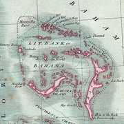
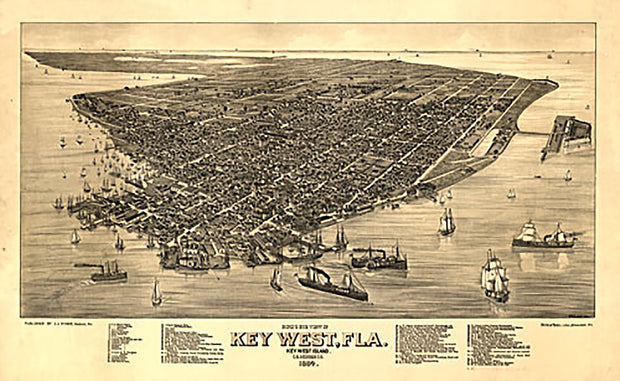
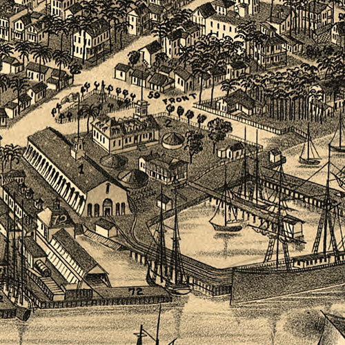
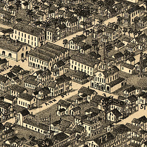
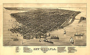
Bird's eye view of Key West Florida, 1884
FL00002
Regular price
$39.95
Bird's eye view of Key West Florida, 1884 This beautiful antique map reproduction is printed on heavy acid-free stock with fade proof inks and is excellent for framing.
26"W x 16"H
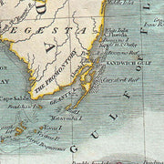
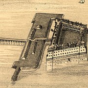
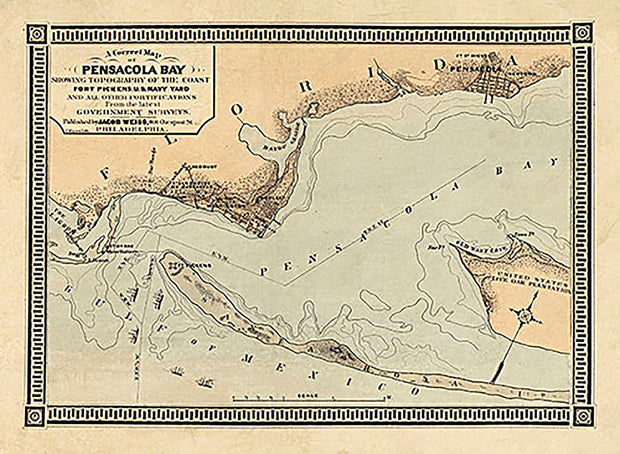
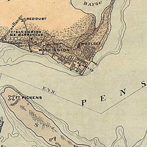
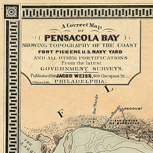
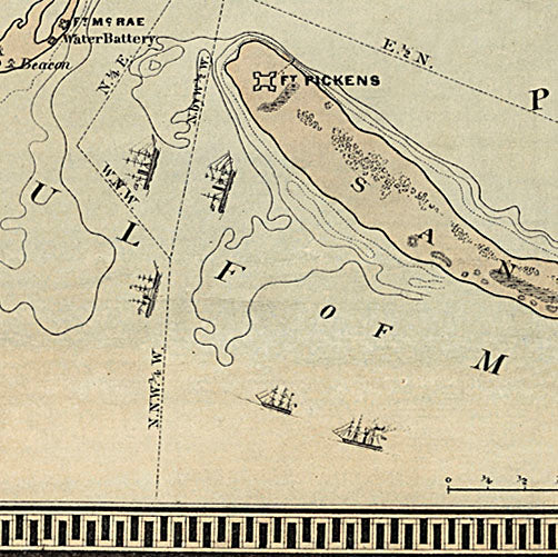
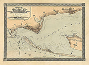
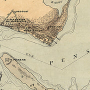
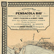
A correct map of Pensacola Bay 1861
FL00001
Regular price
$39.95
A correct map of Pensacola Bay showing topography of the coast, Fort Pickens, U.S. Navy Yard, and all other fortifications from the latest Government surveys.