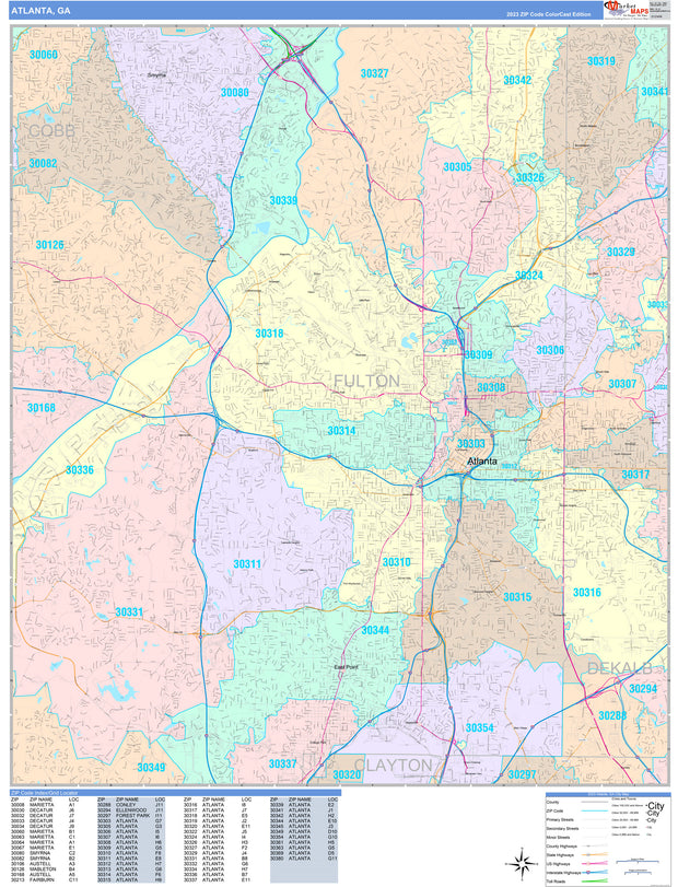
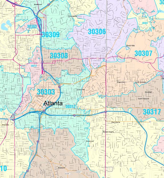
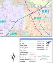
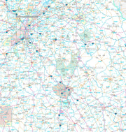
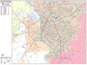
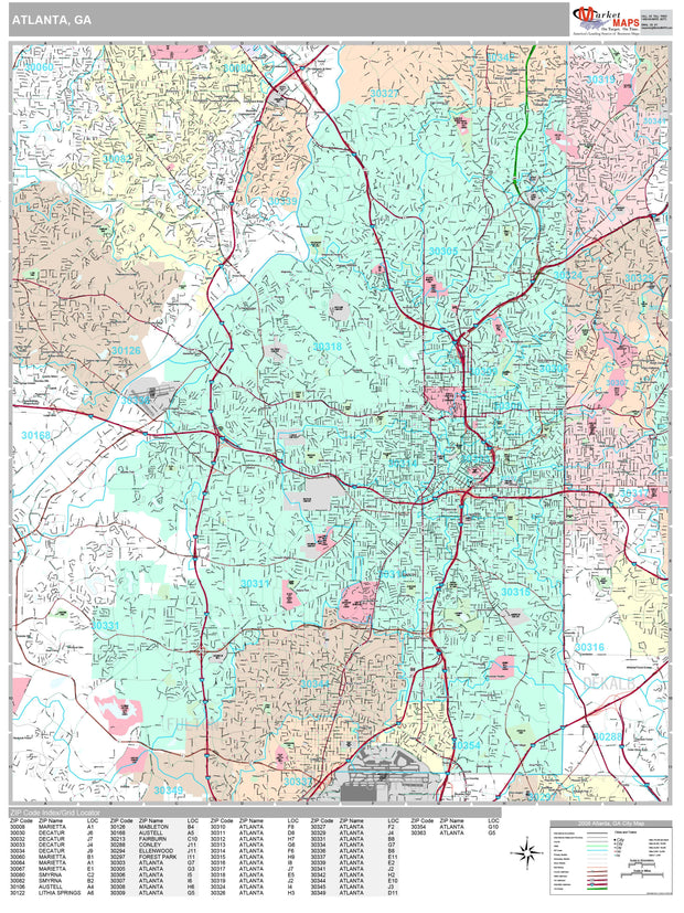
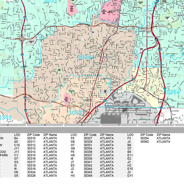
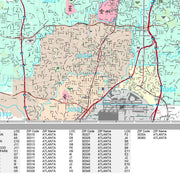
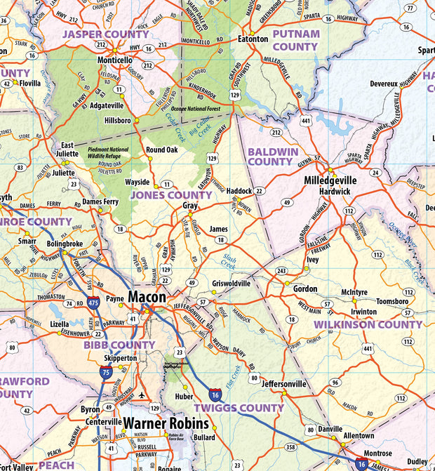
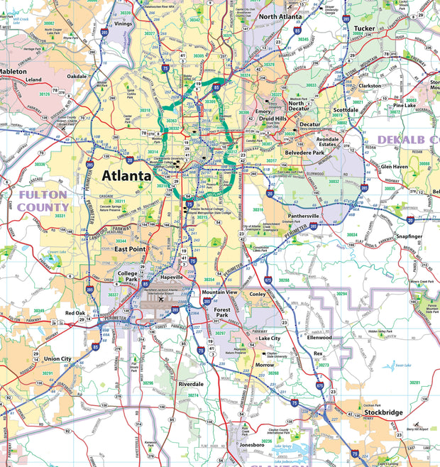
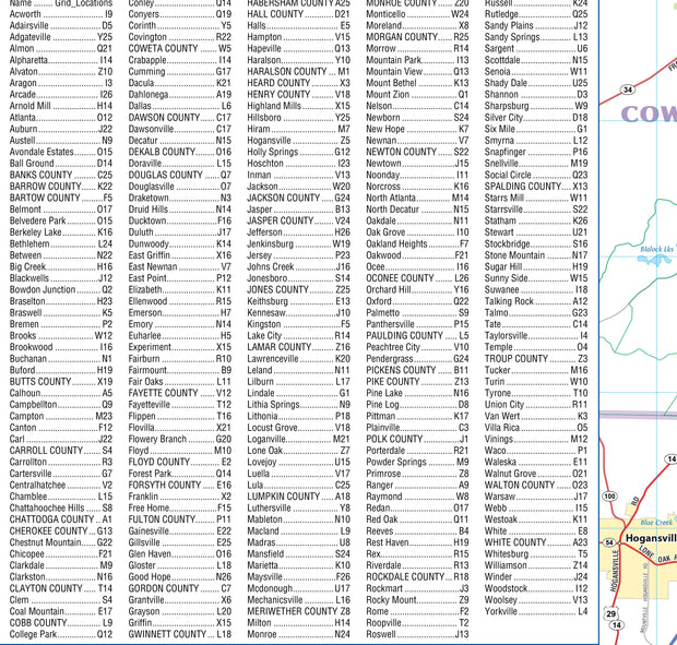
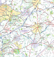
Color Cast Zip Code Style Wall Map of Atlanta by Market Maps
GAWM102CC-1
Regular price
$118.75
Save money on our full line of wall maps from one of the industry leaders in wall maps. These always up to date, eye catching wall maps come in a variety of sizes and finishing options sure to meet your specific mapping needs.
Features include:
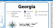
Interstate/Us/State Highways
5-Digit ZIP Codes
County Names and boundaries
Cities and Towns as applicable
All water
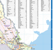
ZIP Code index with grid locator
GAWM102CC
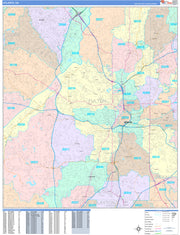
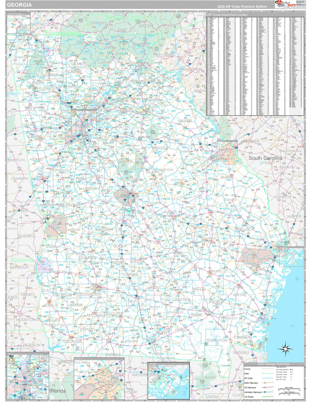
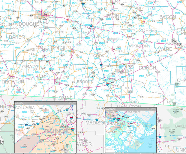
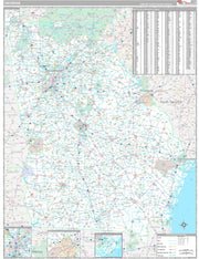
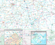
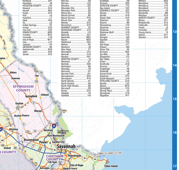
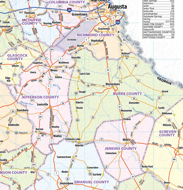
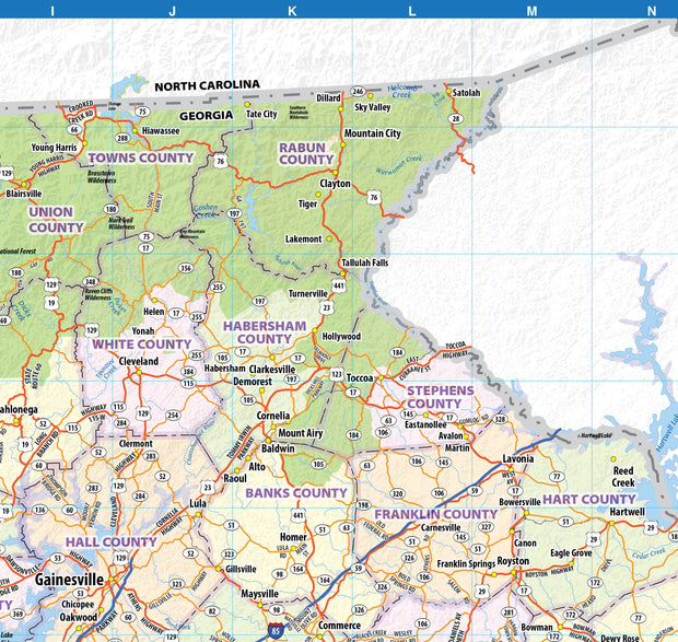
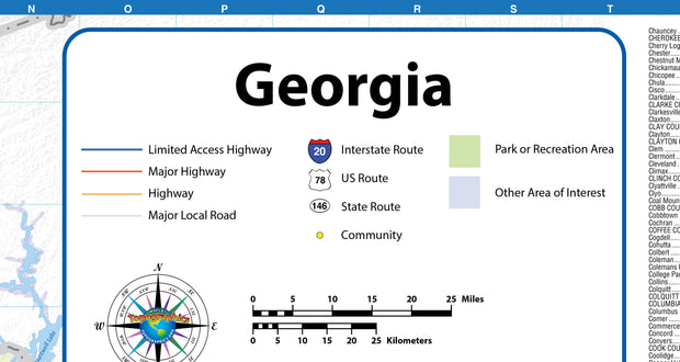
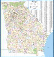
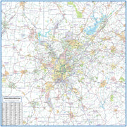
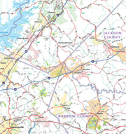
Premium Style Wall Map of Georgia by Market Maps
GAWM006-1
Regular price
$118.75
Save money on our full line of wall maps from one of the industry leaders in wall maps. These always up to date, eye catching wall maps come in a variety of sizes and finishing options sure to meet your specific mapping needs.
Features include:
Interstate/Us/State Highways
5-Digit ZIP Codes
County Names and boundaries
Cities and Towns as applicable
All water
Institutions
Cemetery
Airports
Golf Courses
Parks
Populated Places Shaded
ZIP Code index with grid locator
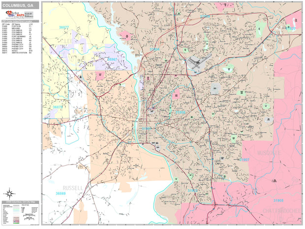
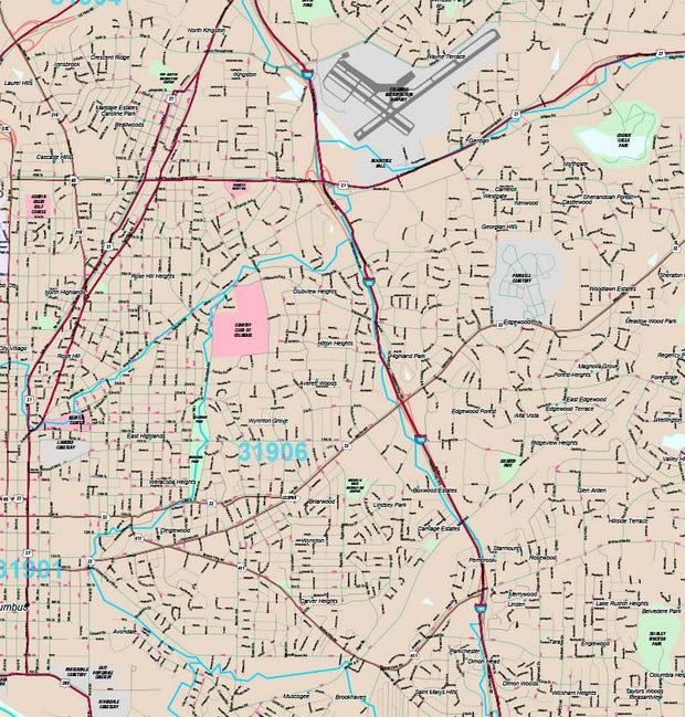
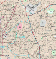
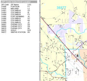
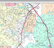
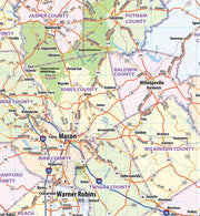
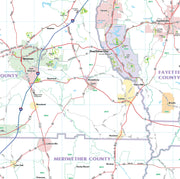
Premium Style Wall Map of Columbus, GA by Market Maps
GAWM104-1
Regular price
$118.75
Save money on our full line of wall maps from one of the industry leaders in wall maps. These always up to date, eye catching wall maps come in a variety of sizes and finishing options sure to meet your specific mapping needs.
Features include:
Interstate/Us/State Highways
5-Digit ZIP Codes
County Names and boundaries
Cities and Towns as applicable
All water
Institutions
Cemetery
Airports
Golf Courses
Parks
Populated Places Shaded
ZIP Code index with grid locator
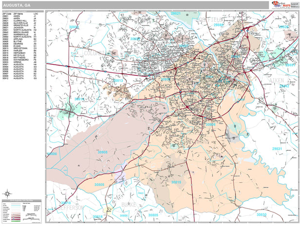
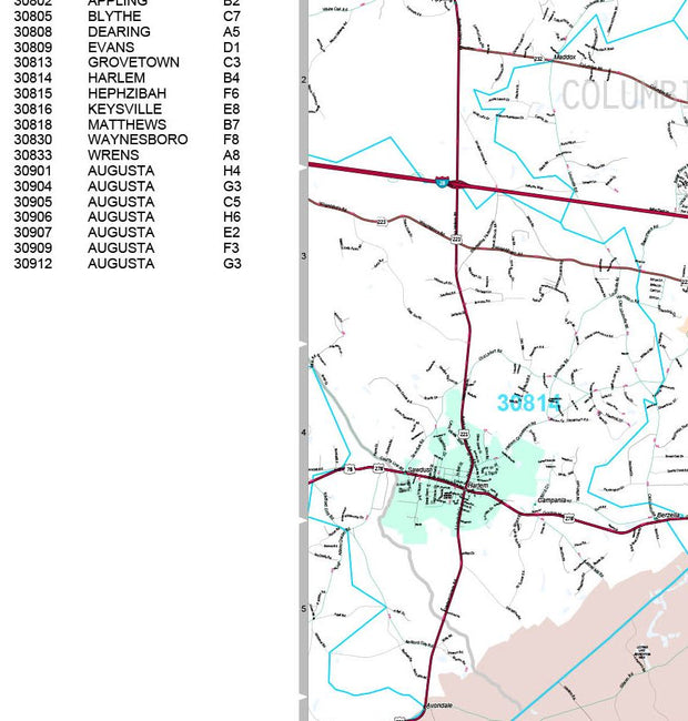
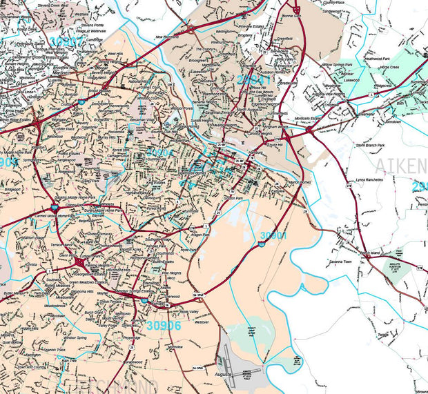
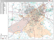
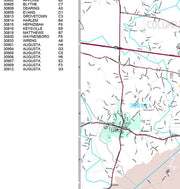
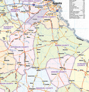
Premium Style Wall Map of Augusta, GA by Market Maps
GAWM103-1
Regular price
$118.75
Save money on our full line of wall maps from one of the industry leaders in wall maps. These always up to date, eye catching wall maps come in a variety of sizes and finishing options sure to meet your specific mapping needs.
Features include:
Interstate/Us/State Highways
5-Digit ZIP Codes
County Names and boundaries
Cities and Towns as applicable
All water
Institutions
Cemetery
Airports
Golf Courses
Parks
Populated Places Shaded
ZIP Code index with grid locator
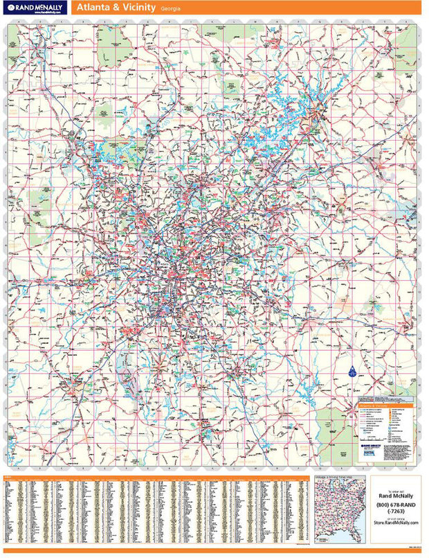
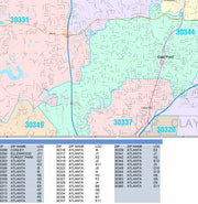
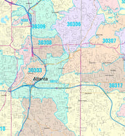
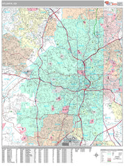
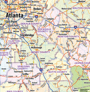
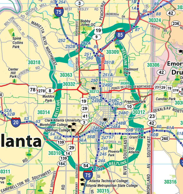
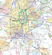
Premium Style Wall Map of Atlanta by Market Maps
GAWM102-1
Regular price
$118.75
Save money on our full line of wall maps from one of the industry leaders in wall maps. These always up to date, eye catching wall maps come in a variety of sizes and finishing options sure to meet your specific mapping needs.
Features include:
Interstate/Us/State Highways
5-Digit ZIP Codes
County Names and boundaries
Cities and Towns as applicable
All water
Institutions
Cemetery
Airports
Golf Courses
Parks
Populated Places Shaded
ZIP Code index with grid locator
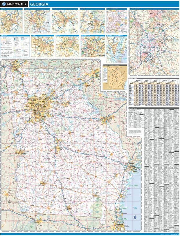
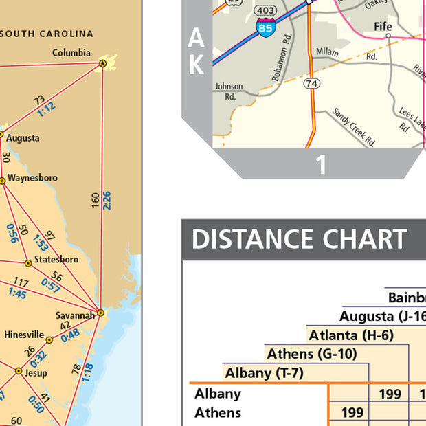
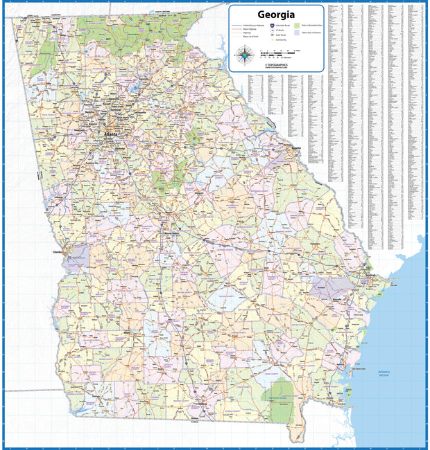
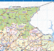
Georgia Wall Map by Topographics Maps
GAWM007
Regular price
$99.95
This wall map of Georgia shows counties, towns, cities, and major highways. Recently updated, this basic map is a great tool for visualizing the entire state for planning purposes, territory management, or allocating resources. This map is shipped rolled in a study tube.
42" W x 44" H
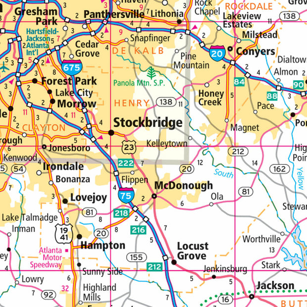
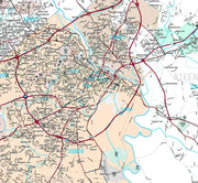
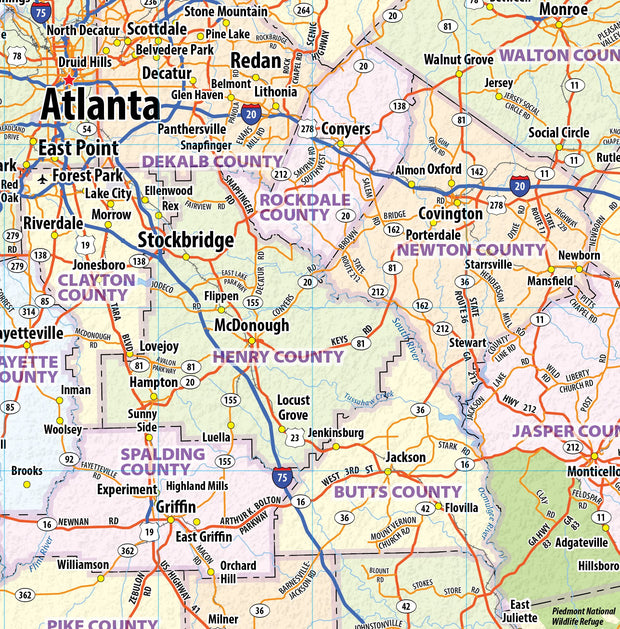
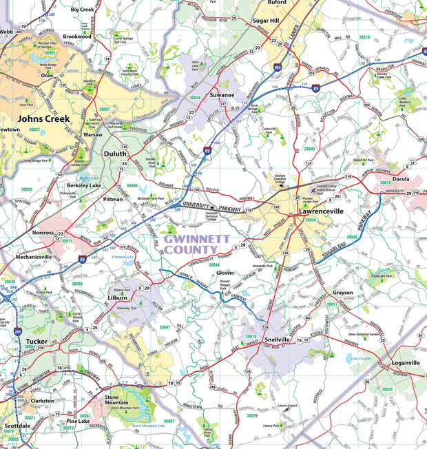
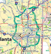
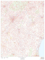
Greater Atlanta Regional Area Major Arterial Wall Map - 42" W x 42" H
GAWM101-1
Regular price
$99.95
This extremely functional wall map of the Atlanta Regional area, showing locations within 40 miles of downtown Atlanta includes counties, towns, cities, major roads and highways, and major points of interest. Use it for planning your delivery routes, sales zones or any other business needs.
This map is both functional and decorative. Sized perfectly at 42" x 42" this will look great hanging on a dispatch wall, conference room or home office.
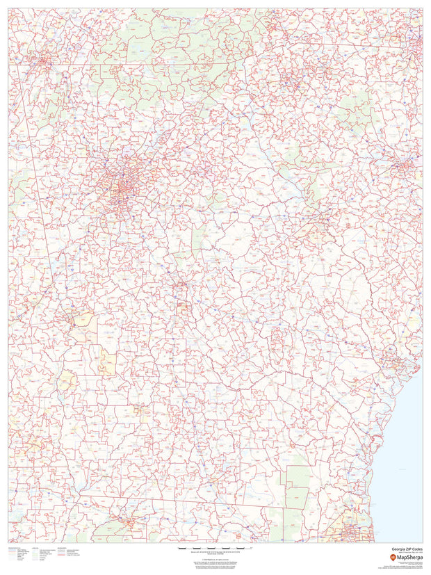
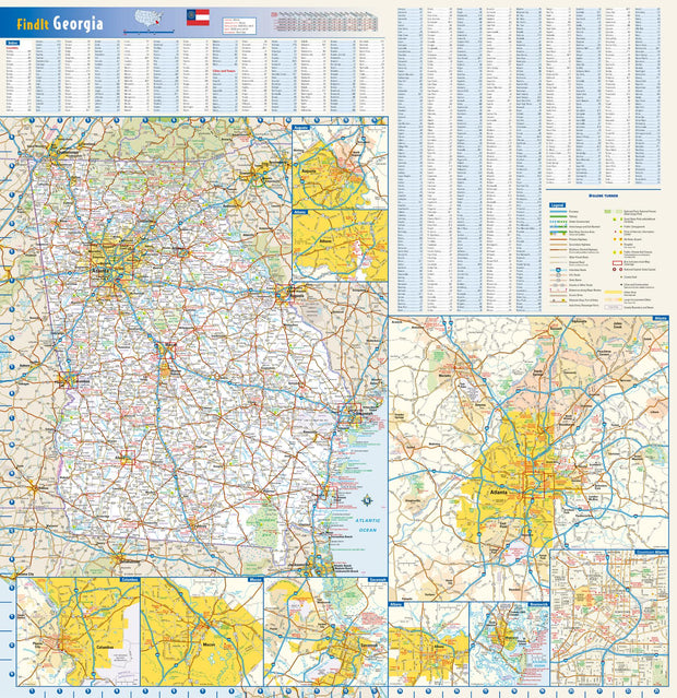
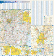
Georgia Zip Code Map
GAWM003-1
Regular price
$59.95
This map of Georgia shows ZIP codes overlaid on a road map. Base map features include municipality and county boundaries, major road network features, and state and national parks and conservation areas.
36"W x 48"H
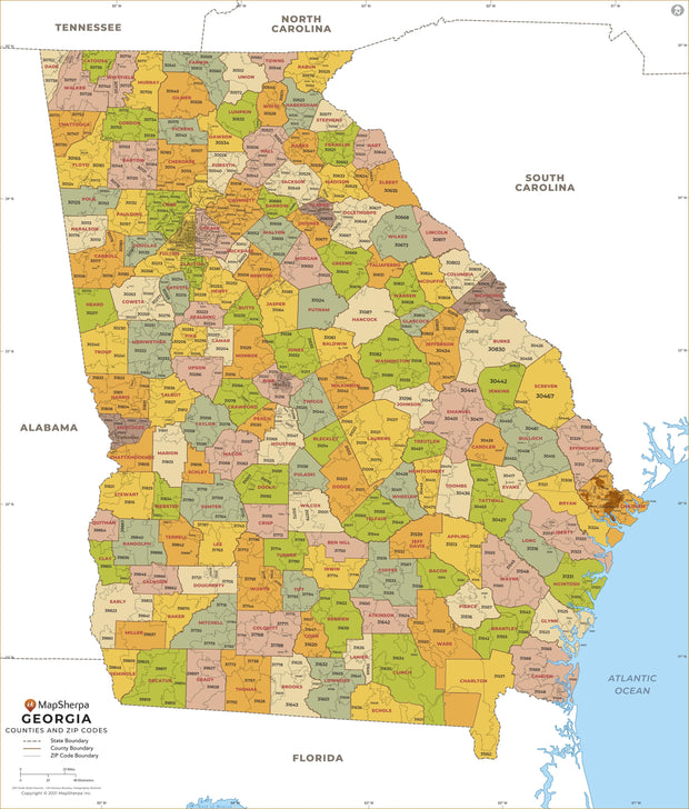
Georgia Zip Code Map with Counties
GAWM005-1
Regular price
$39.95
This map has been created and designed for business or reference use. Clear and clean colors & fonts matched with cartographic research makes this Georgia Zip Code Map with Counties easily readable and useful. The map shows the 159 counties of Georgia and the borders of the over 700 zip codes across the Peach State.
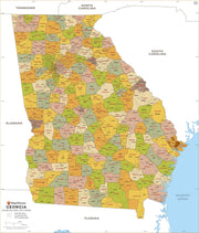
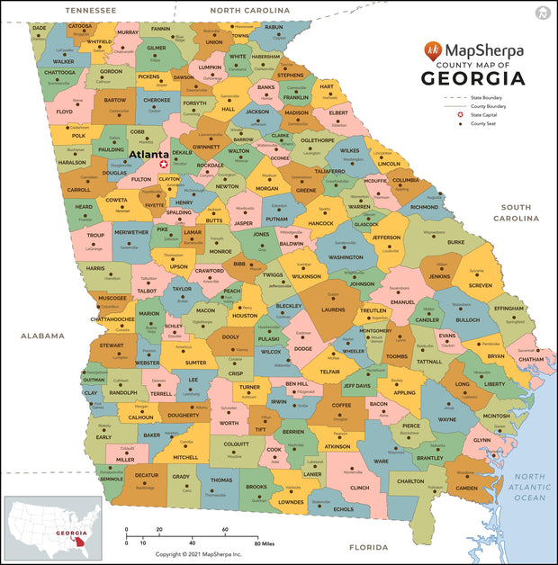
Georgia County Map
GAWM004-1
Regular price
$39.95
This map has been created designed for reference or business use. Clear and clean colors & fonts matched with cartographic research makes this map of Georgia Counties Map easily readable and useful. The map shows the 159 counties of Georgia and their borders across the Peach State.
Georgia Wall Map by Globe Turner
GAWM002-1
Regular price
$29.95
This colorful, easy-to-read state map of Georgia identifies all major thoroughfares, secondary roads, freeway interchanges, rest areas, distance markers, landmarks, recreational areas, and more. Shaded relief on the state map provides a three-dimensional sense of Georgia's topography. Detailed inset maps of Albany, Athens, Atlanta, Augusta, Brunswick, Columbus, Macon, and Savannah are based on the latest street information from our cartographic experts. County and city indices make it simple to locate even the smallest town.