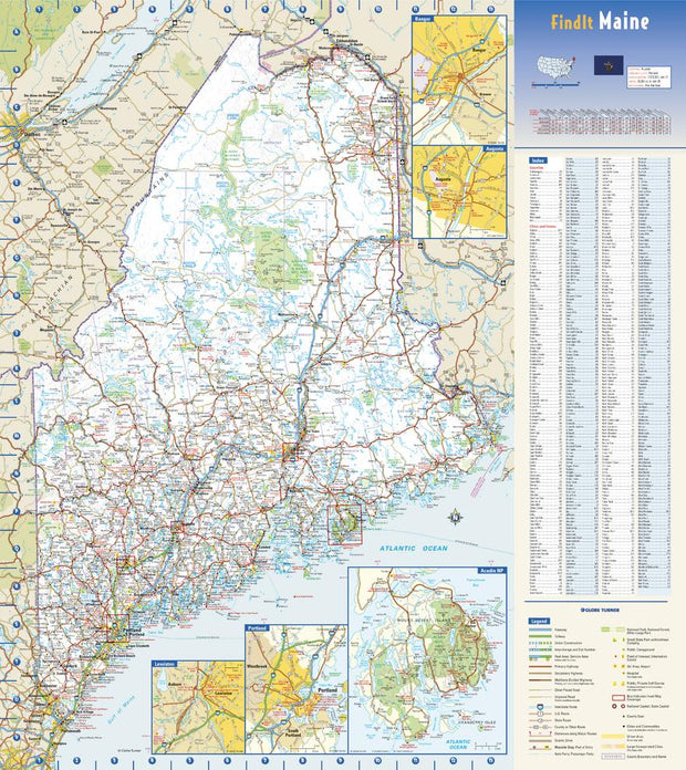
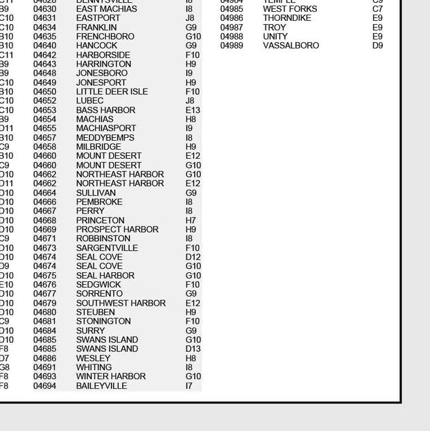
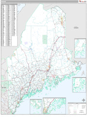
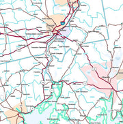
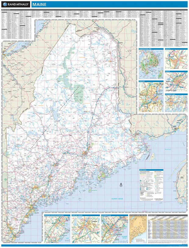
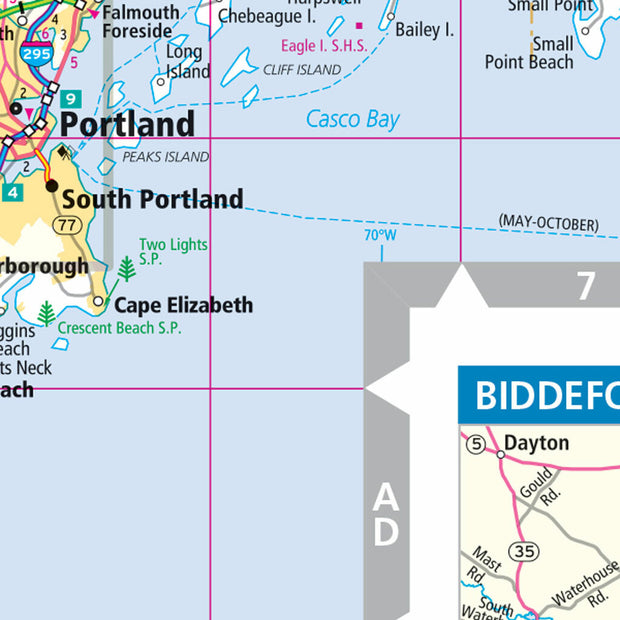
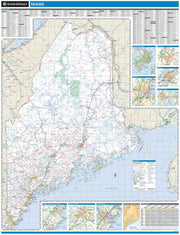
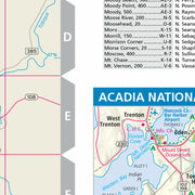
This colorful, easy-to-read state map of Maine identifies all major thoroughfares, secondary roads, freeway interchanges, rest areas, distance markers, landmarks, recreational areas, and more. Shaded relief on the state map provides a three-dimensional sense of Maine’s topography. Detailed city inset maps of Augusta, Bangor, Lewiston, and Portland are based on the latest street information from our cartographic experts. An up-to-date inset of Acadia National Park provides must-see information on this tourist area. County and city indices make it simple to locate even the smallest town.
Premium Style Wall Map of Maine by Market Maps
MEWM004-1
Regular price
$118.75
Save money on our full line of wall maps from one of the industry leaders in wall maps. These always up to date, eye catching wall maps come in a variety of sizes and finishing options sure to meet your specific mapping needs.
Features include:
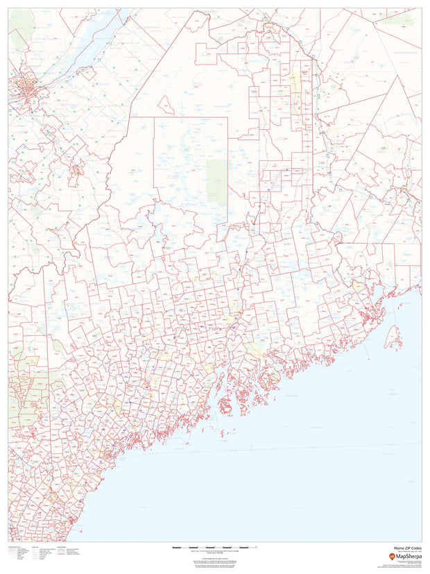
Interstate/Us/State Highways
5-Digit ZIP Codes
County Names and boundaries
Cities and Towns as applicable
All water
Institutions
Cemetery
Airports
Golf Courses
Parks
Populated Places Shaded
ZIP Code index with grid locator
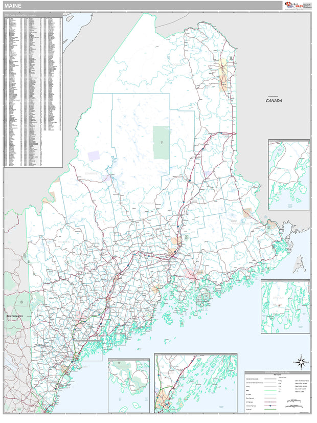
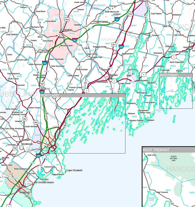
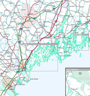
Maine Zip Code Map
MEWM003-1
Regular price
$59.95
This map of Maine shows ZIP codes overlaid on a road map. Base map features include municipality and county boundaries, major road network features, and state and national parks and conservation areas.