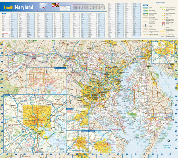
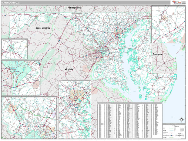
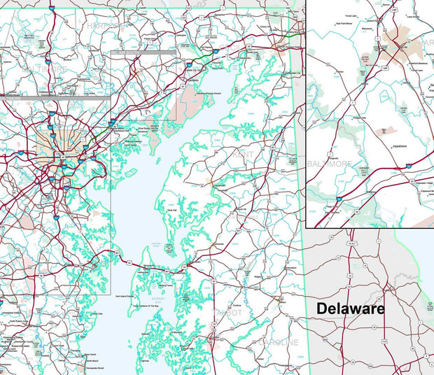
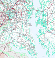
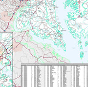
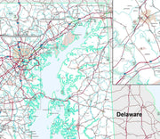
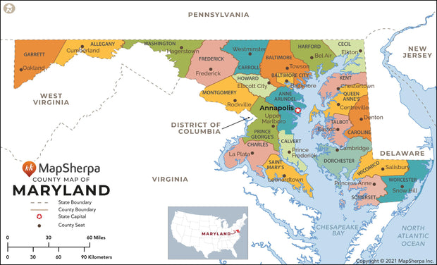
Rand McNally's state wall map of Delaware and Maryland is ideal for anyone needing a comprehensive representation of the area for planning, routing, or reference. It is an excellent choice for business and sales strategy, urban development, social work outreach, education, and marketing. State residents, businesses, and government offices are sure to find this wonderful reference tool irreplaceable.
Inset maps: Annapolis, MD, Baltimore, MD & Vicinity, Central Baltimore, MD, Dover, DE, Frederick, MD, Hagerstown, MD, Salisbury, MD, Wilmington/Newark, DE, Washington, DC & Vicinity, and Central Washington, DC.
This map is rolled and shipped in a sturdy cardboard tube.