
OHWM101
This map is rolled and shipped in a sturdy cardboard tube.
Coverage area extends approximately 94 miles north-to-south and 138 miles east-to-west and is roughly bounded by Sandusky, OH, east to Ashtabula, OH, south to East Palestine, OH, west to Galion, OH.
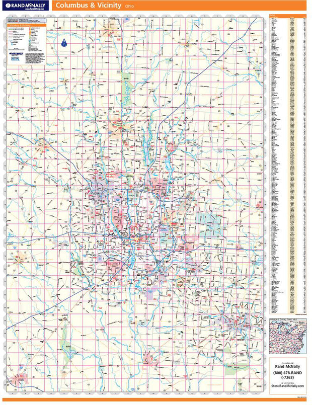
OHWM102
This map is rolled and shipped in a sturdy cardboard tube.
Coverage area extends approximately 77 miles north-to-south and 53 miles east-to-west and is roughly bounded by New Bloomington, OH; east to Fredericktown, OH; south to Lancaster, OH; and west to Washington Court House, OH.
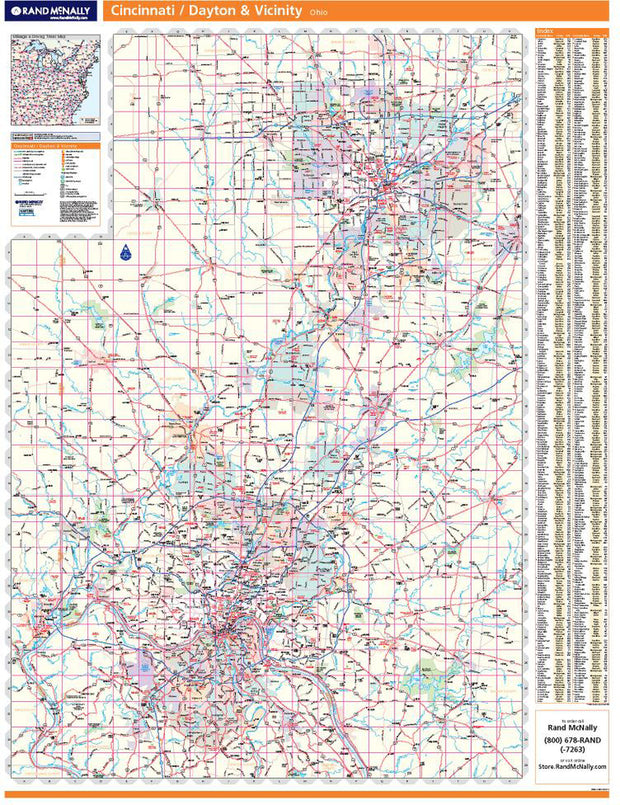
OHWM100
This map is rolled and shipped in a sturdy cardboard tube.
Coverage area extends approximately 73 miles north-to-south and 52 miles east-to-west and is roughly bounded by Eldorado, OH; east to Enon, OH; south to Hamersville, OH; and west to Aurora, IN.


OHWM001
Description
Rand McNally's state wall map of Ohio is ideal for anyone needing a comprehensive representation of the area for planning, routing, or reference. It is an excellent choice for business and sales strategy, urban development, social work outreach, education, and marketing. State residents, businesses, and government offices are sure to find this wonderful reference tool irreplaceable.
The laminated wall map is printed with UV-resistant ink to help prevent color fading.
Map details include federal, state, and county highways, county boundaries, cities and towns, major waterways, state/national parks, campsites, exit numbers, rest areas, military installations, airports, golf courses, universities, and much more.
You will also find a city/county index on the map, a comprehensive map legend, a distance chart with mileages between various cities, and a mileage/driving times map.
This truly complete wall map even includes a hanging kit with rails for easy mounting just about anywhere.
Coverage Area
Inset maps: Akron, Canton, Cincinnati, Cincinnati Downtown, Cleveland & Vicinity, Cleveland Downtown, Columbus, Cuyahoga Valley National Park, Dayton, Springfield, Toledo, and Youngstown/Warren.
This map is rolled and shipped in a sturdy cardboard tube.


OHWM006CC-1
The Color Cast Style Ohio State Map is a multi-colored display that shades each county with its own background color. It is an ideal choice for applications that benefit from quickly and easily distinguishing one county from the others.
This wall map comes laminated on both sides using 3mm hot lamination, which protects your wall map and allows you to write on it with dry-erase markers.
Includes inset maps of all major cities.
Features include:
This map is rolled and shipped in a sturdy cardboard tube.