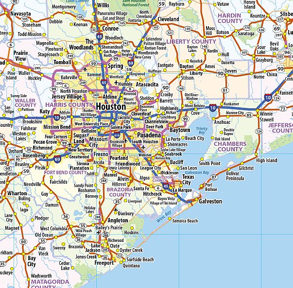
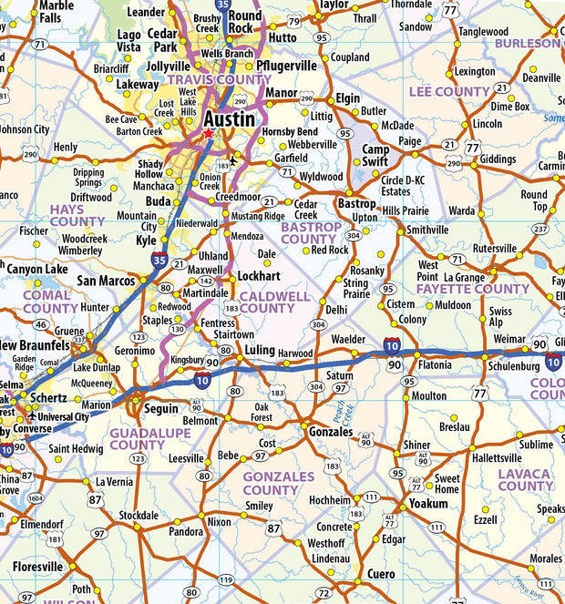
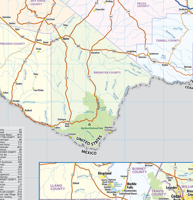
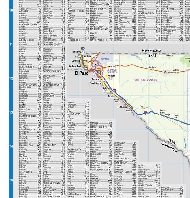
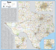
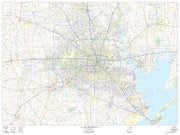
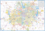
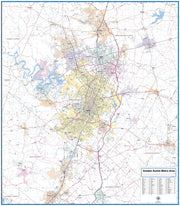
Rand McNally's state wall map of Texas is ideal for anyone needing a comprehensive representation of the area for planning, routing, or reference. It is an excellent choice for business and sales strategy, urban development, social work outreach, education, and marketing. State residents, businesses, and government offices are sure to find this wonderful reference tool irreplaceable.
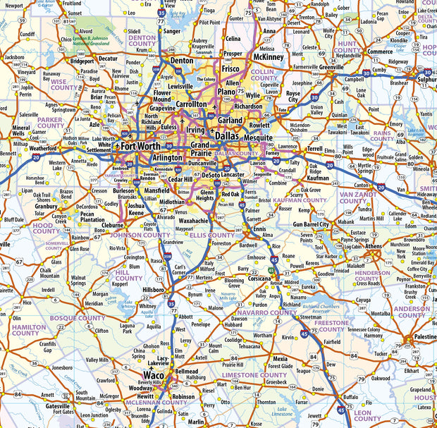
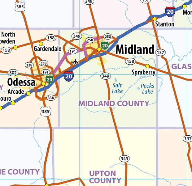
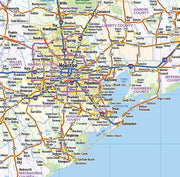
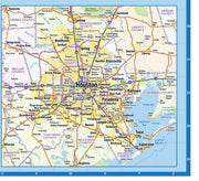
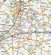
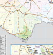
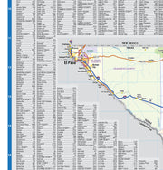
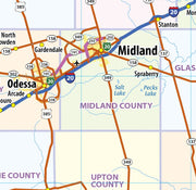
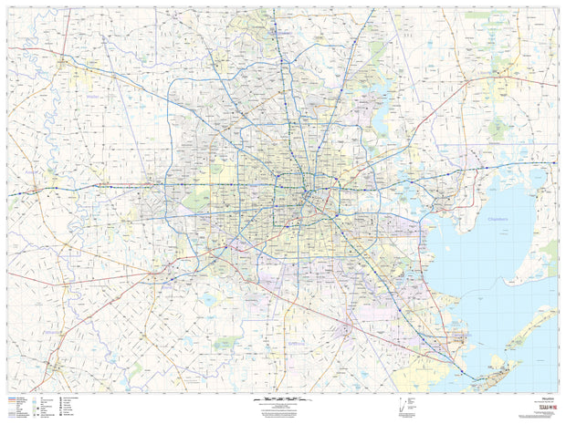
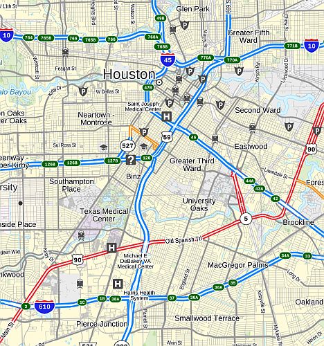
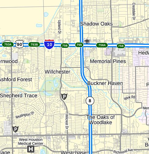
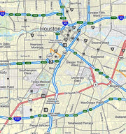
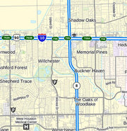
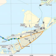
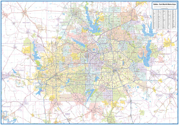
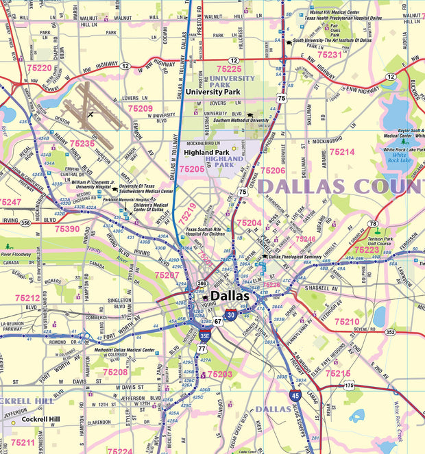
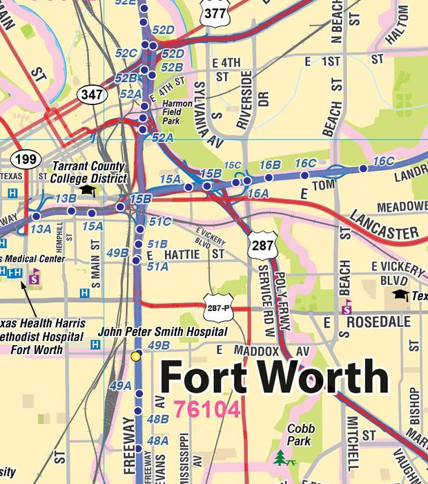
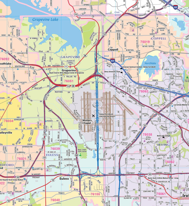
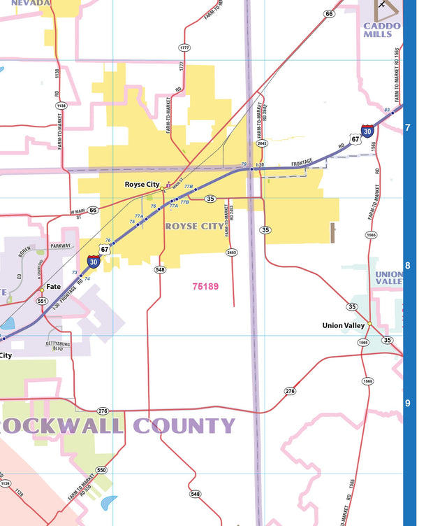
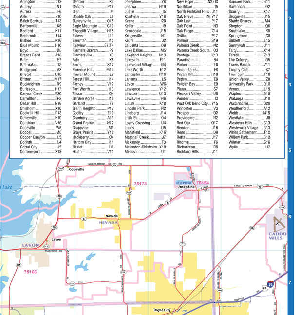
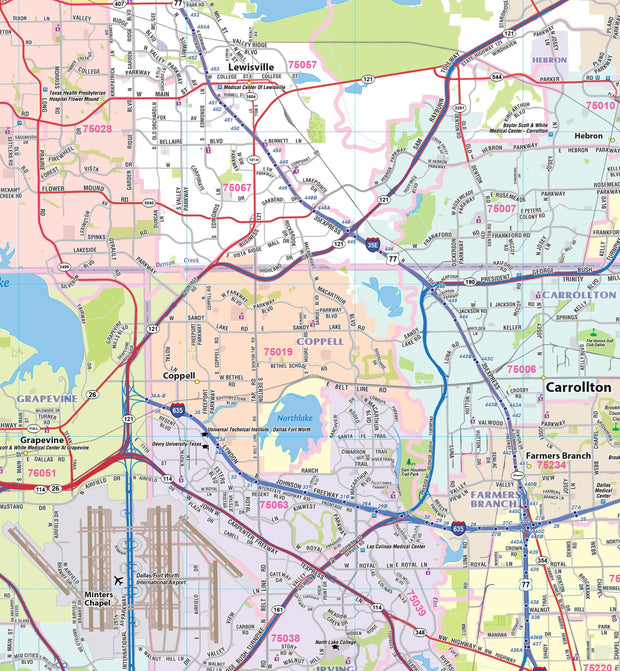
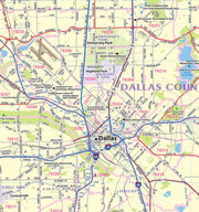
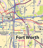
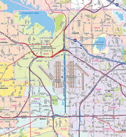
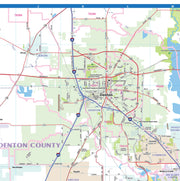
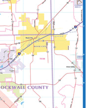
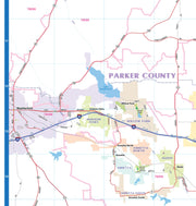
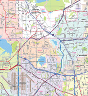
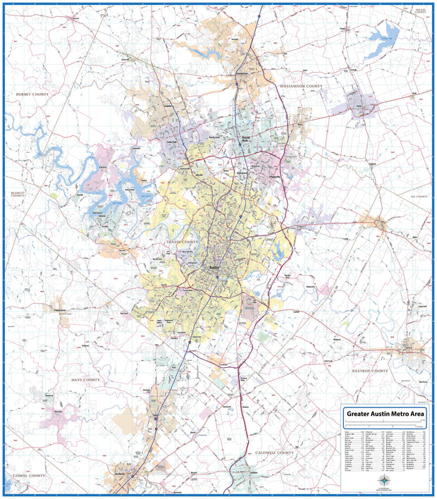
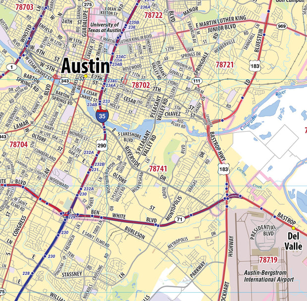
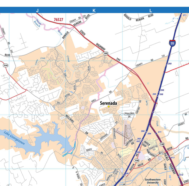
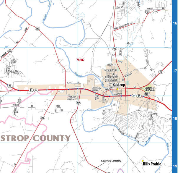
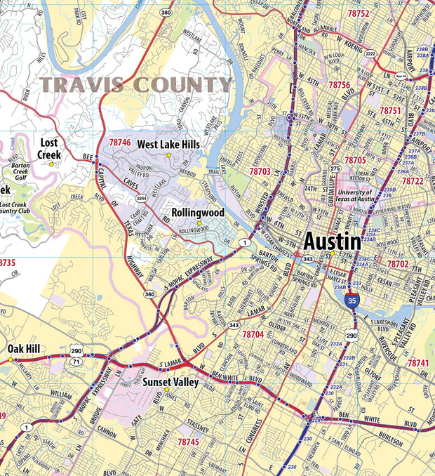
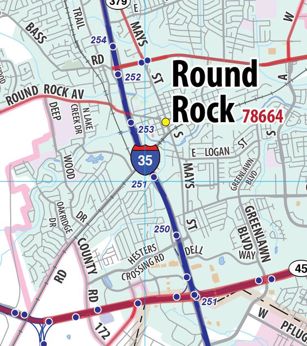
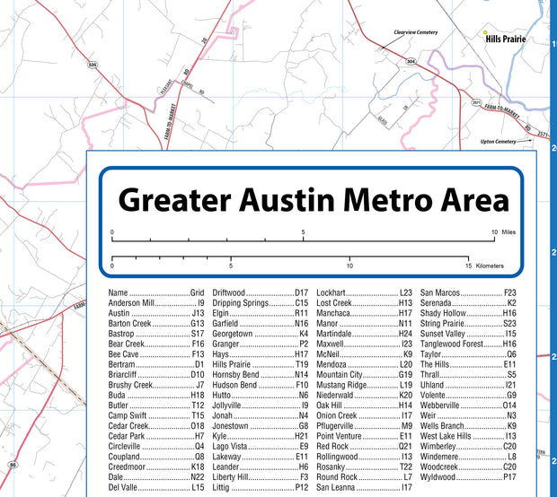
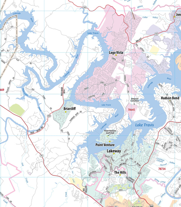
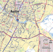
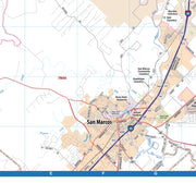
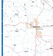
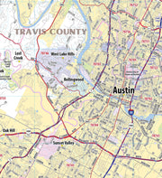
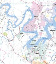
Inset maps: Abilene, Amarillo, Austin, Beaumont/Port Arthur, Big Bend National Park, Bryan/College Station, Corpus Christi, Dallas/Fort Worth & Vicinity, Central Dallas, Central Fort Worth, El Paso, Galveston, Guadalupe Mountains National Park, Houston & Vicinity, Downtown Houston, Killeen/Temple, Laredo, Lower Rio Grande Valley: Brownsville/Harlingen/McAllen, Lubbock, Midland/Odessa, San Antonio, Downtown San Antonio, Texarkana, Tyler, Waco, and Wichita Falls.
This map is rolled and shipped in a sturdy cardboard tube.