Skip to content
  • Home
  • Choose A State
    • Alabama
    • Alaska
    • Arizona
    • Arkansas
    • California
    • Colorado
    • Connecticut
    • Delaware
    • Florida
    • Georgia
    • Hawaii
    • Idaho
    • Illinois
    • Indiana
    • Iowa
    • Kansas
    • Kentucky
    • Louisiana
    • Maine
    • Maryland
    • Massachusetts
    • Michigan
    • Minnesota
    • Mississippi
    • Missouri
    • Montana
    • Nebraska
    • Nevada
    • New Hampshire
    • New Mexico
    • New Jersey
    • New York
    • North Carolina
    • North Dakota
    • Ohio
    • Oklahoma
    • Oregon
    • Pennsylvania
    • Rhode Island
    • South Carolina
    • South Dakota
    • Tennessee
    • Texas
    • Utah
    • Vermont
    • Virginia
    • Washington
    • Washington, DC
    • West Virginia
    • Wisconsin
    • Wyoming
    • USA Maps
  • Choose A Category
    • Topographic Maps
    • Civil War Maps
    • Revolutionary War Maps
    • Gift Certificate
  • Helpful Info
    • Our Printing Process
    • Shipping
    • Returns
  • Log in
Cart
American Map Store American Map Store
  • Home
  • Choose A State
    • Alabama
    • Alaska
    • Arizona
    • Arkansas
    • California
    • Colorado
    • Connecticut
    • Delaware
    • Florida
    • Georgia
    • Hawaii
    • Idaho
    • Illinois
    • Indiana
    • Iowa
    • Kansas
    • Kentucky
    • Louisiana
    • Maine
    • Maryland
    • Massachusetts
    • Michigan
    • Minnesota
    • Mississippi
    • Missouri
    • Montana
    • Nebraska
    • Nevada
    • New Hampshire
    • New Mexico
    • New Jersey
    • New York
    • North Carolina
    • North Dakota
    • Ohio
    • Oklahoma
    • Oregon
    • Pennsylvania
    • Rhode Island
    • South Carolina
    • South Dakota
    • Tennessee
    • Texas
    • Utah
    • Vermont
    • Virginia
    • Washington
    • Washington, DC
    • West Virginia
    • Wisconsin
    • Wyoming
    • USA Maps
  • Choose A Category
    • Topographic Maps
    • Civil War Maps
    • Revolutionary War Maps
    • Gift Certificate
  • Helpful Info
    • Our Printing Process
    • Shipping
    • Returns
Log in Search Cart
Home / Washington DC: Wall Maps

Washington DC: Wall Maps

Washington DC Wall Maps

  • View all
  • Virginia
  • Virginia: Wall Maps
  • Washington DC
  • Washington DC: City Wall Maps
  • Washington DC: Wall Maps
Quick view
Washington DC Metro Area Wall Map
from $99.95
Quick view
Washington DC & Northern Virginia by Rand McNally
$229.00
Washington DC Metro Area Wall Map

Washington DC Metro Area Wall Map

DCWM102-1

Regular price $99.95

This wall map of the Washington, DC area, showing locations within 25 miles of DC. Includes much of suburban Maryland and Northern Virginia. Information shown includes counties, towns, cities, major roads and highways, and major points of interest. A community index is included.

46"W x 42"H


Washington DC & Northern Virginia by Rand McNally

Washington DC & Northern Virginia by Rand McNally

DCWM100

Regular price $229.00
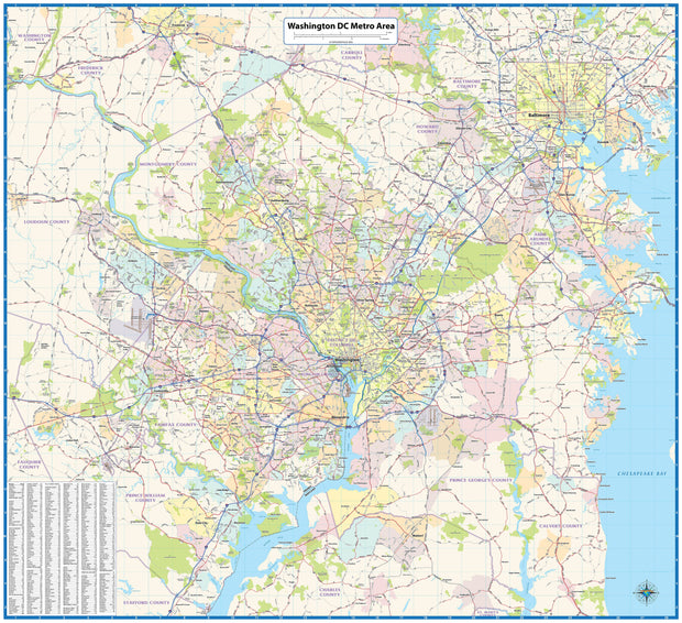
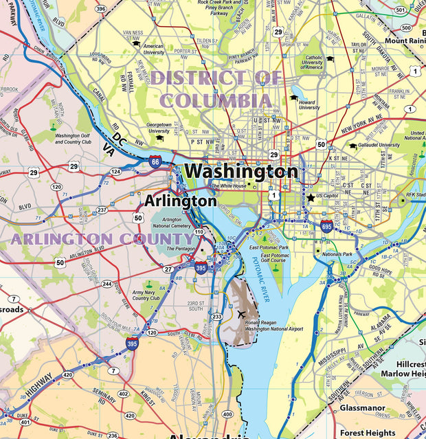
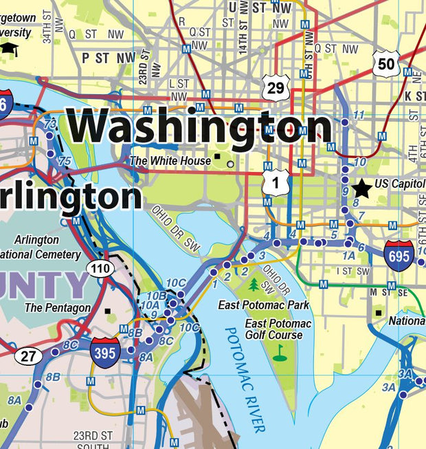
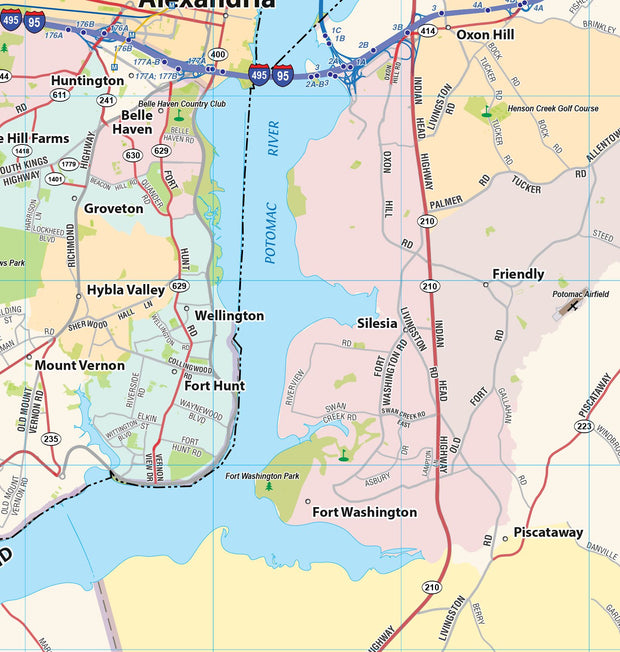
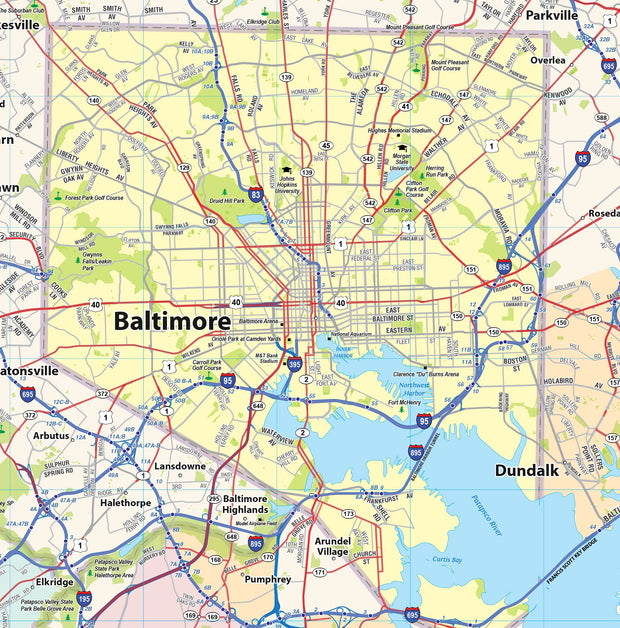
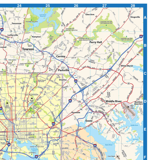
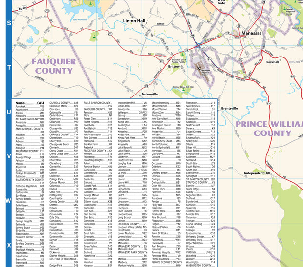
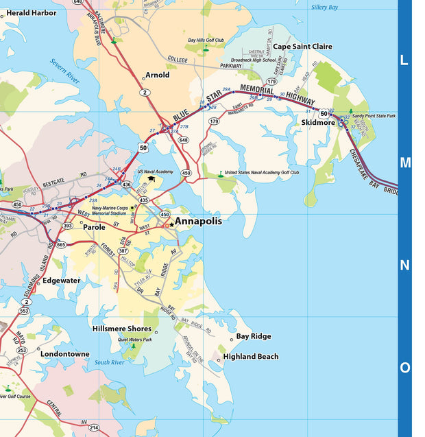
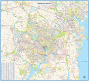
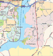
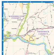
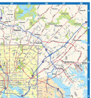
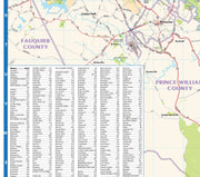
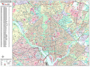
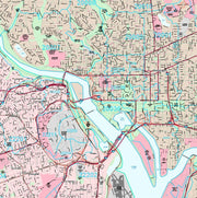
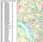
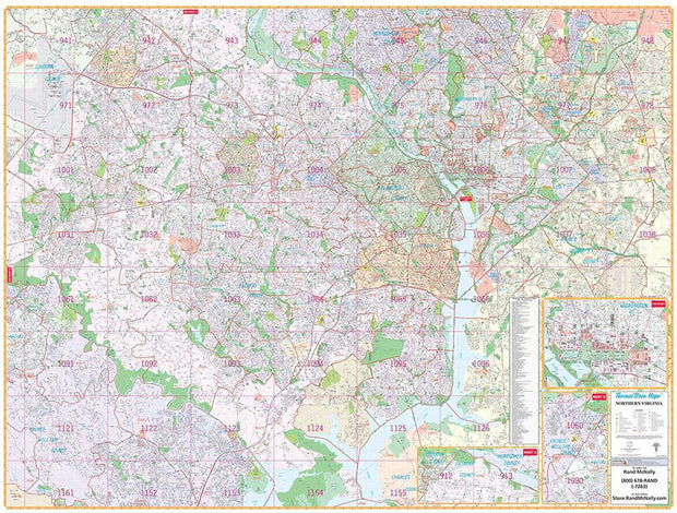
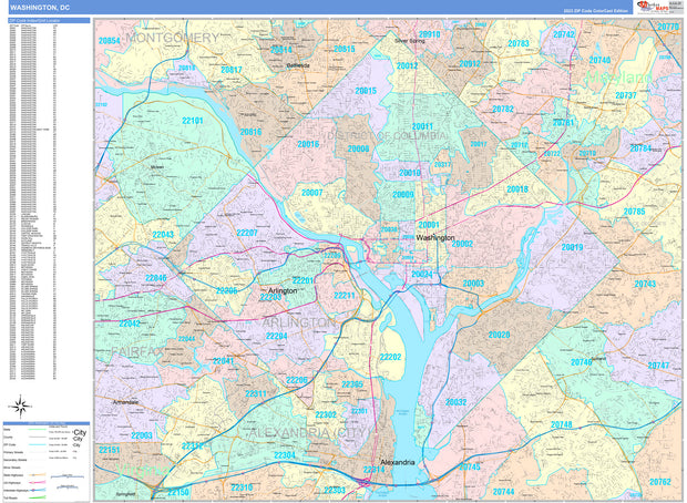
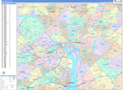
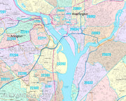
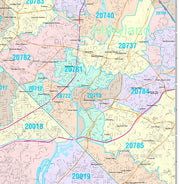
Rand McNally's wall map of Northern Virginia/Washington, D.C. is ideal for anyone needing a comprehensive representation of the region for planning, routing, or reference. It's a great choice for business and sales strategy, urban development, social work outreach, education, and marketing.

D.C.-area residents, businesses, and government offices are sure to find this wonderful reference tool irreplaceable.

Note: This map is not available for gift wrapping. Please allow 7-10 days for shipping.

  • Laminated wall map printed with UV-resistant ink to help prevent color fading
  • Map details include airports, hospitals, railroads, points of interest, shopping centers, parks, golf and country clubs, post offices, police and fire stations, schools and educational institutions, government buildings, mileage circles, block numbers, city limits and annexations, ZIP codes and boundaries, and much more
  • Includes a separate street index book
  • Hanging kit with rails for easy mounting

Coverage Area

Coverage area extends:

  • North to the Fairfax/Montgomery County line
  • South to Mason Neck State Park
  • East to the Capital Beltway, including New Carrolton and Glenarden
  • West to Manassas and Manassas Park in Prince Williams County, includes

Product Details

Dimensions: 79" x 60"

Powered by Shopify

Main menu

  • Home
  • Choose A State
  • Choose A Category
  • Helpful Info

More Stuff Here

  • Custom Maps
  • Search for Product
  • Shipping
  • Refunds & returns
  • Contact Us

Join AMS Newsletter

Sign-up for Discounts, Coupons, New Product Arrivals and Recent News.

Powered by Shopify

  • american express
  • diners club
  • discover
  • jcb
  • master
  • paypal
  • visa

Everything Ships Free!

Thank you for visting American Map Store where all items include a Free Shipping Option!

Shopping Tip - Use the Quickview when browsing maps