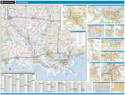
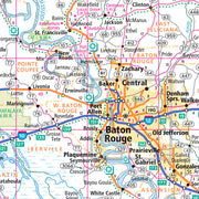
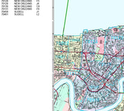
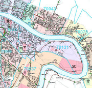
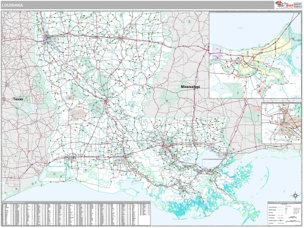
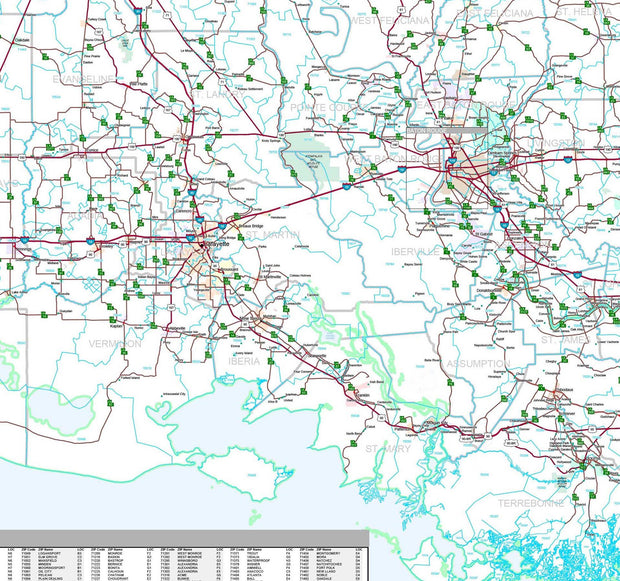
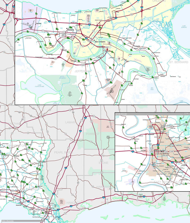
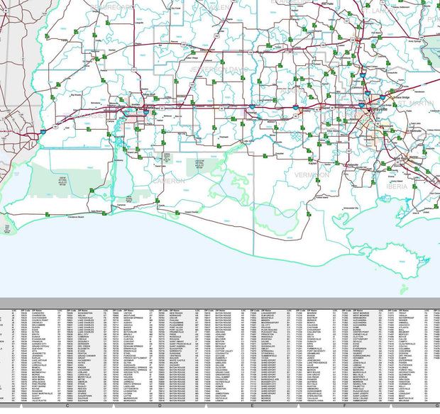
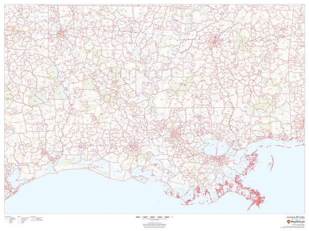
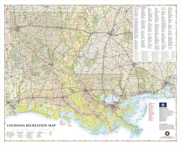
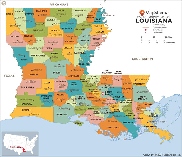
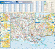
Rich with fishing and hunting opportunities in its diverse waters and expansive woodlands, Louisiana is truly a Sportsman’s Paradise. This wall map illustrates the physical features and recreation highlights of The Pelican State, from the northern Piney Hills to the Mississippi River Delta and Gulf Coast.
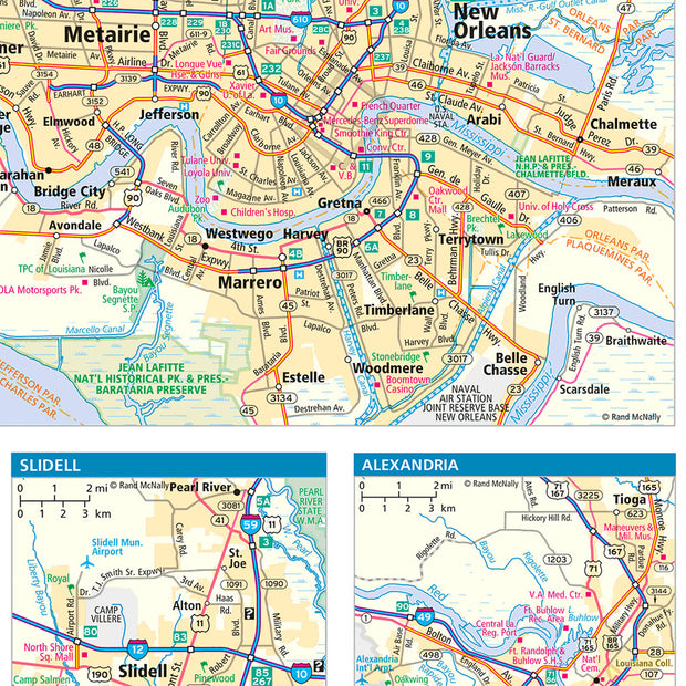
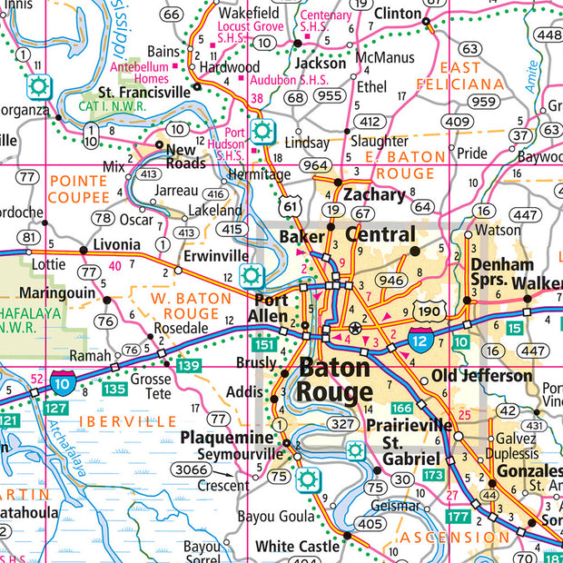
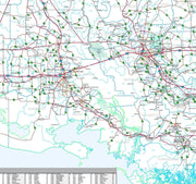
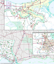
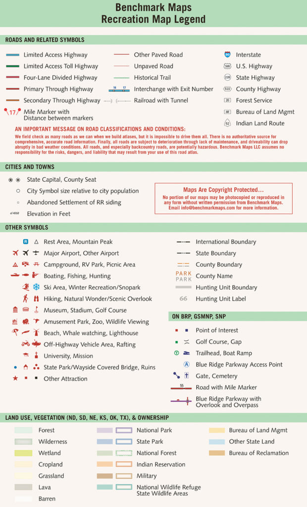
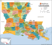
If outdoor adventure and recreation is your thing, this is the map for you. This map is loaded with points of interest from camping sites, hiking trails, fishing spots, and bird watching locations ( see legend shown on 2nd picture) this map depicts all the best recreation locations. Not only functional this exquisite map uses shaded relief to portray the land a technique which combines shading with elevation tints that portray landforms much more clearly than contour lines. These techniques and elevation colors make mountains, highlands and valleys immediately obvious.
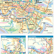
Beautiful as well as functional this map will look great in a home, office, cabin, RV or wherever you choose to hang it