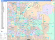
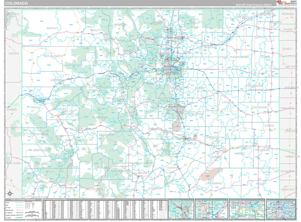
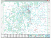
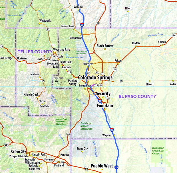
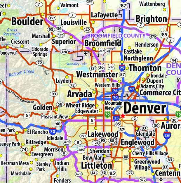
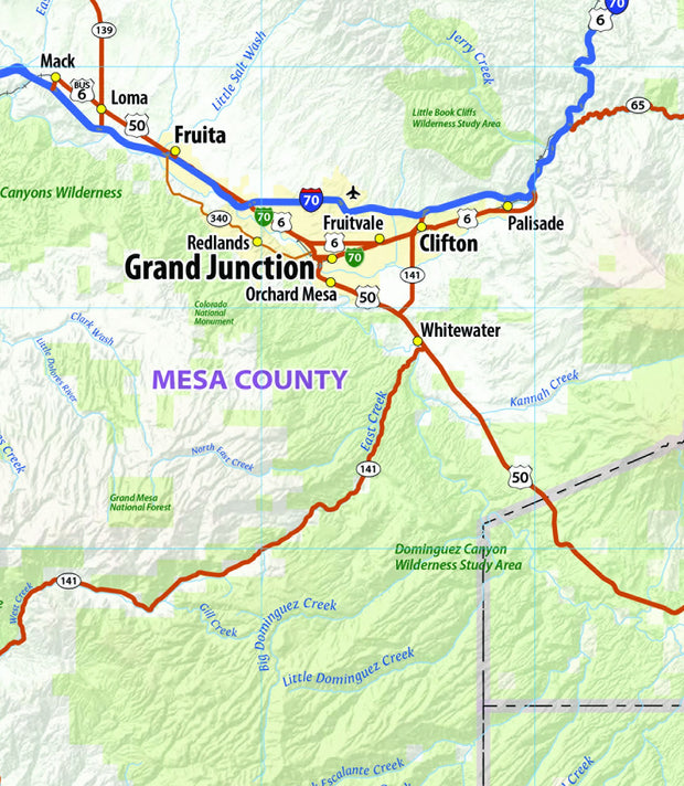
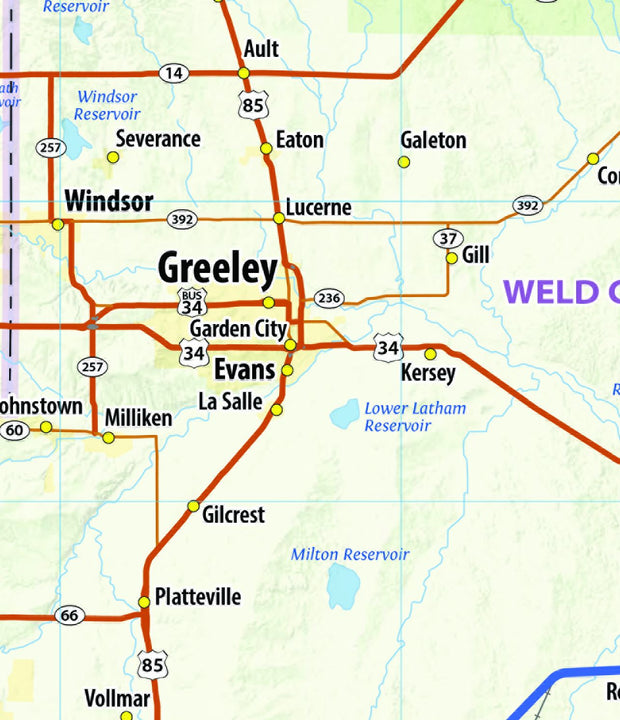
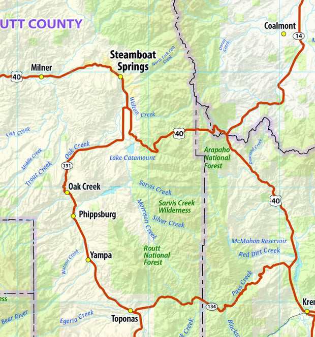
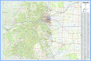
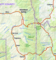
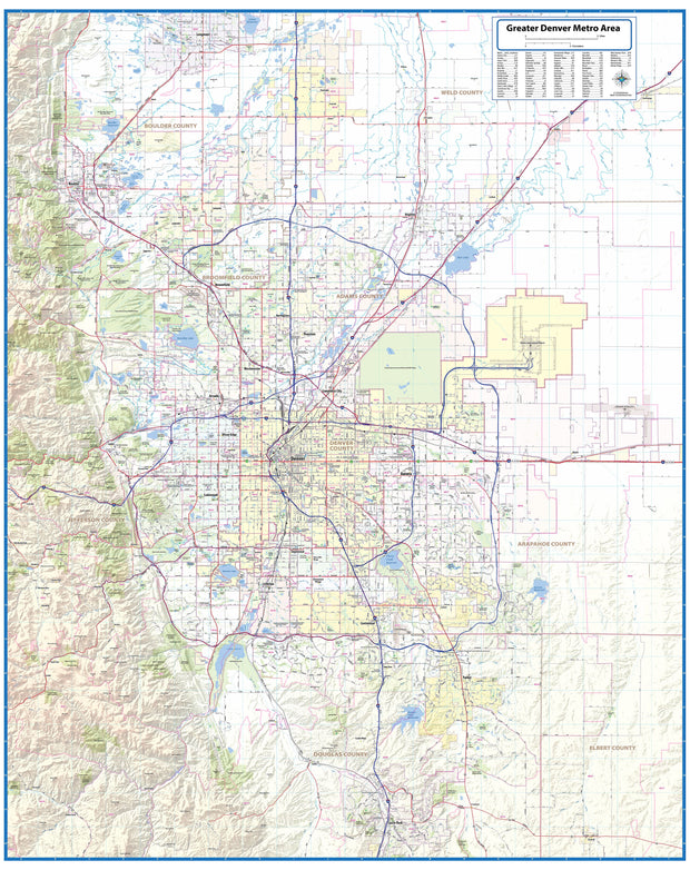
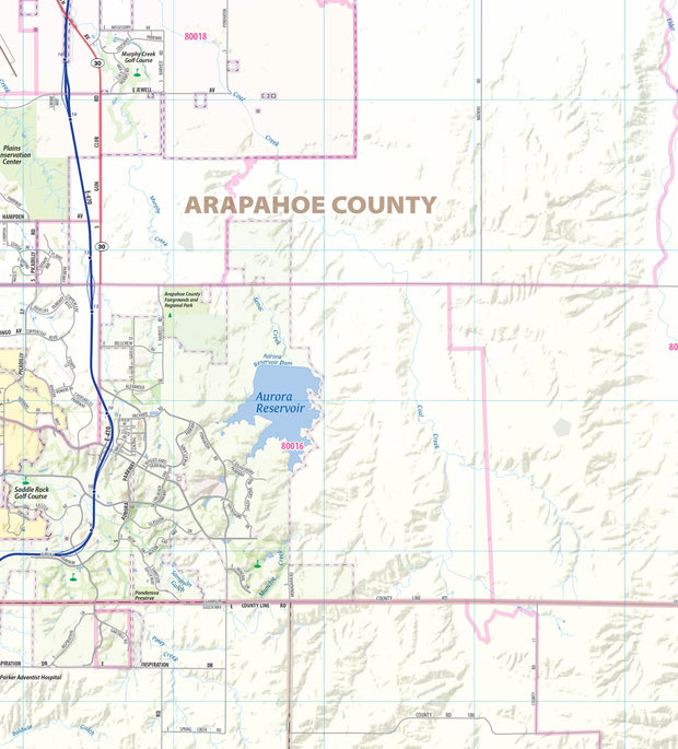
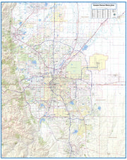
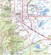
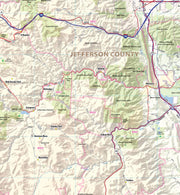
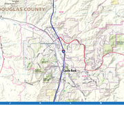
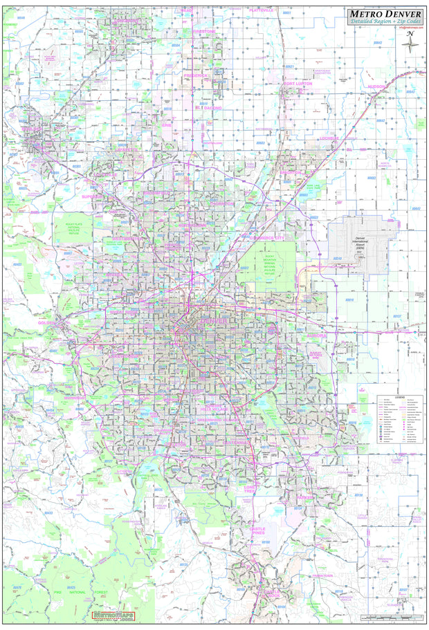
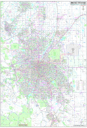
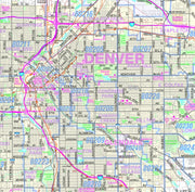
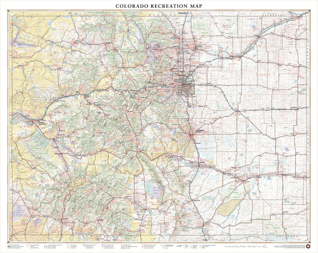
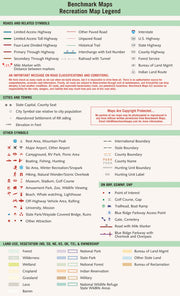
This exquisite wall map of Denver uses shaded relief to portray the land and combines shading with elevation tints that portray landforms much more clearly than contour lines. These techniques and elevation colors make mountains, highlands and valleys immediately obvious.
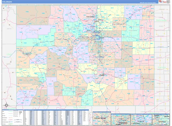
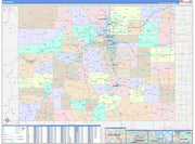
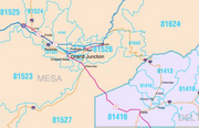
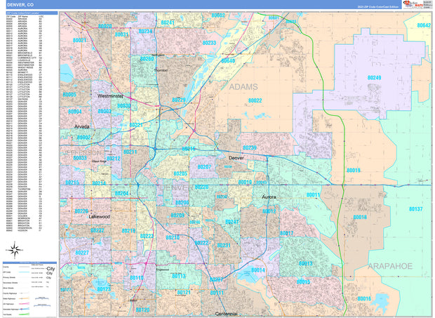
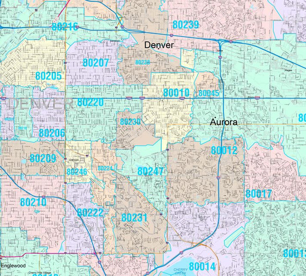
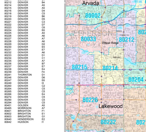
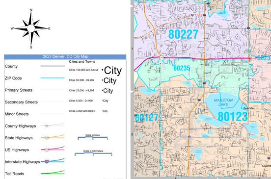
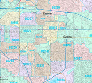
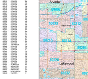
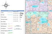
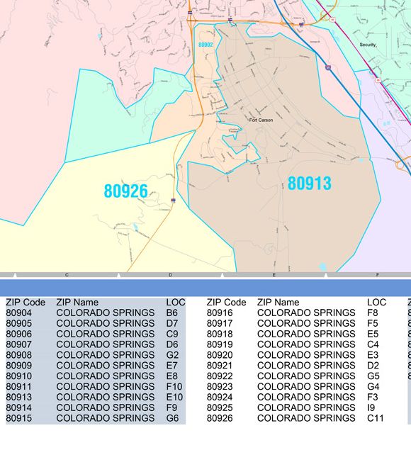
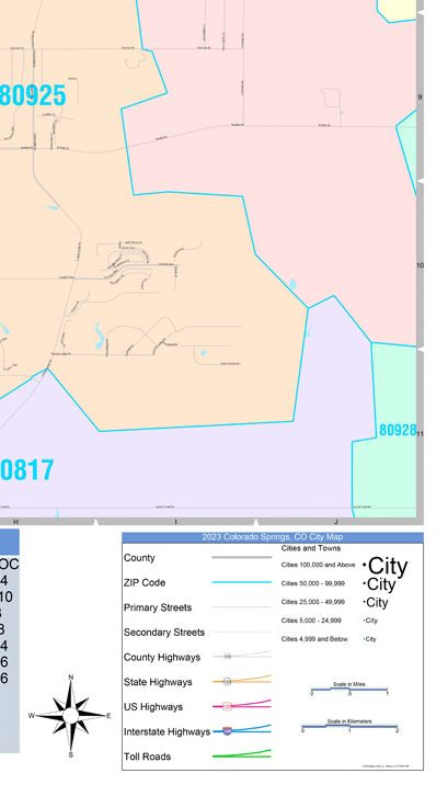
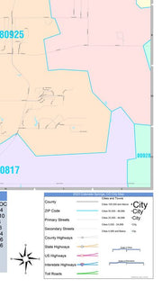
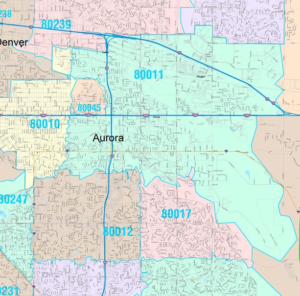
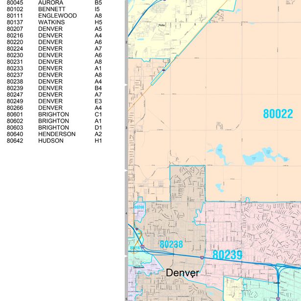
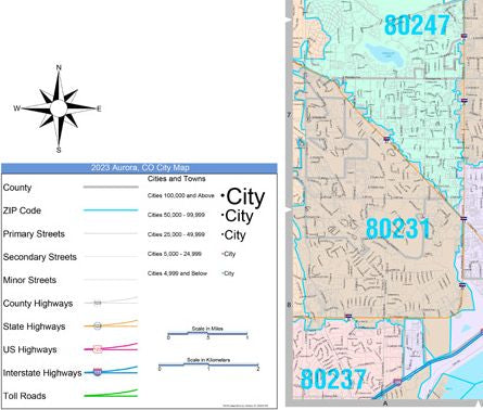
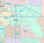
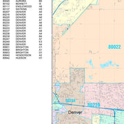
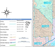
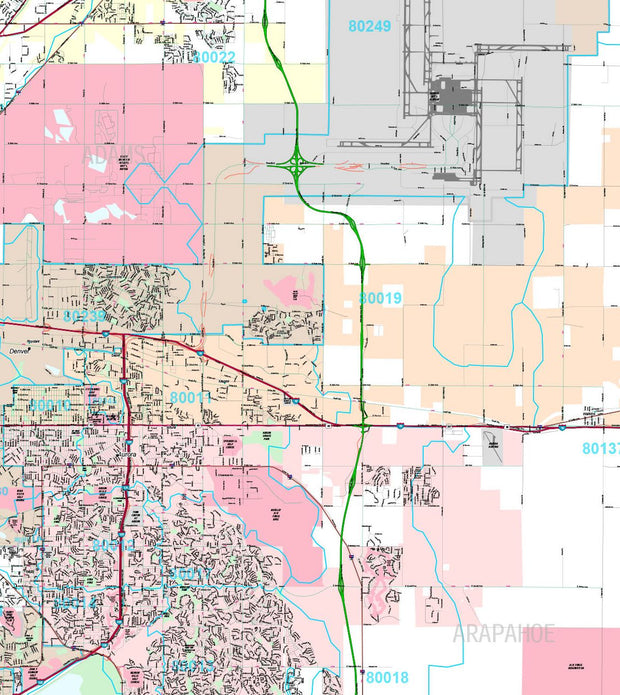
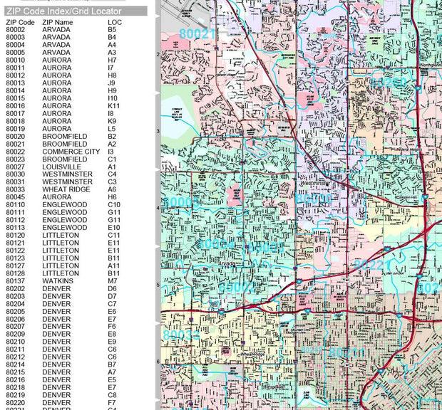
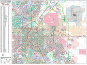
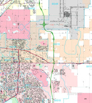
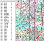
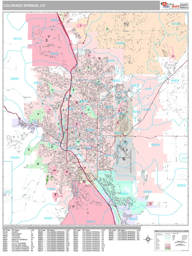
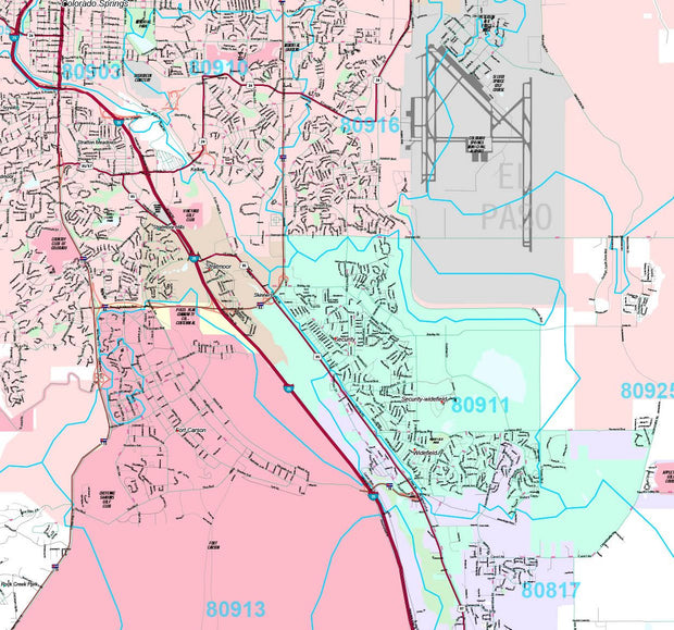
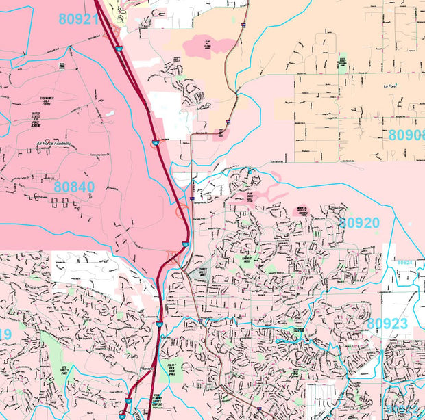
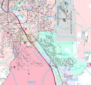
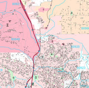
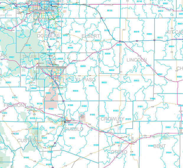
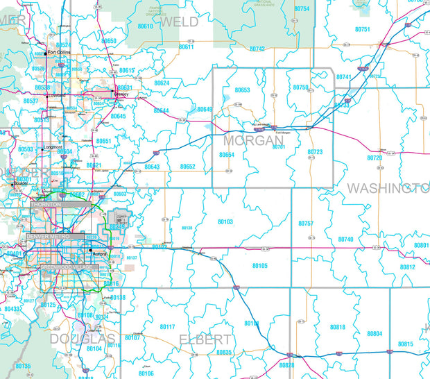
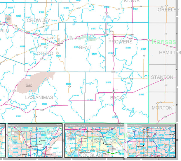
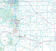
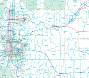
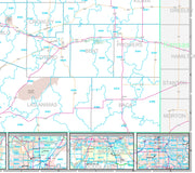
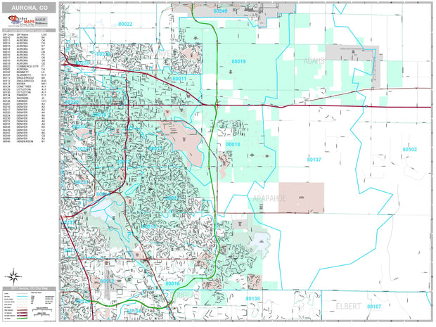
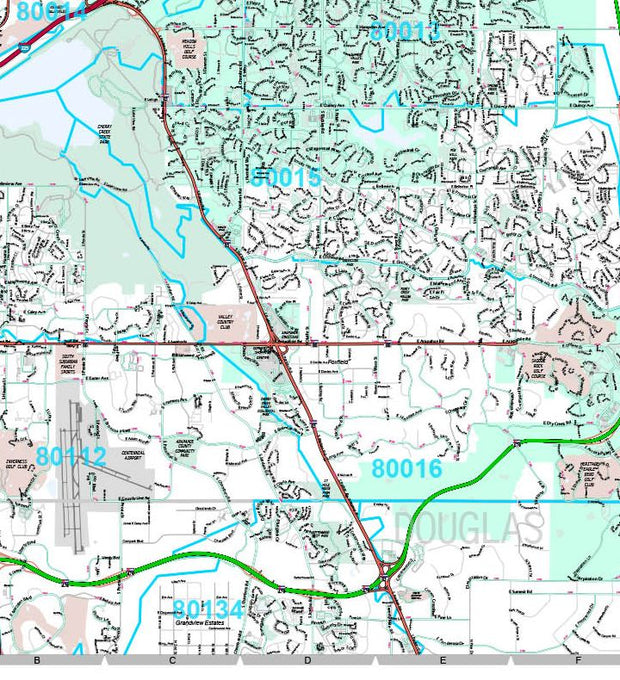
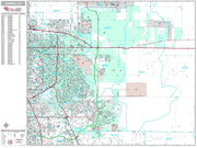
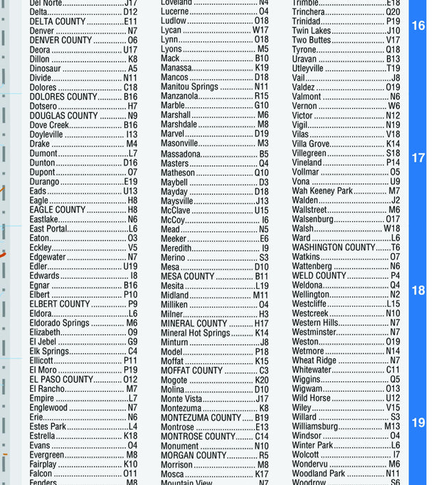
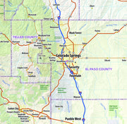
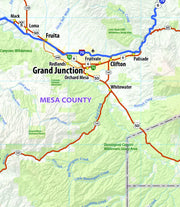
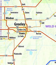
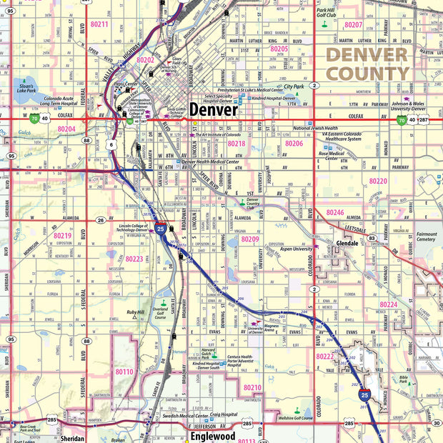
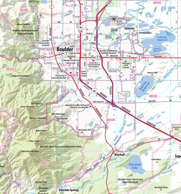
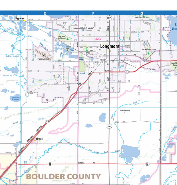
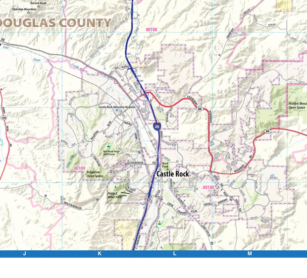
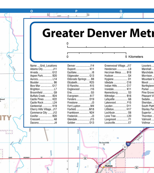
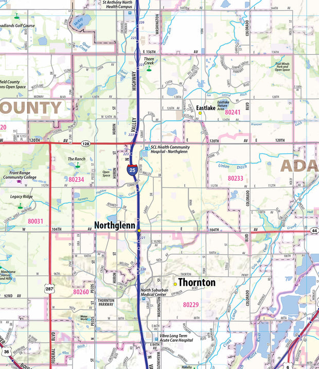
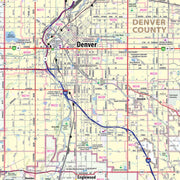
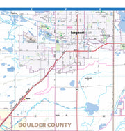
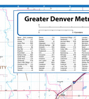
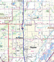
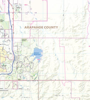
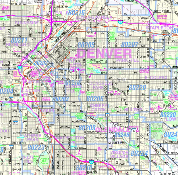
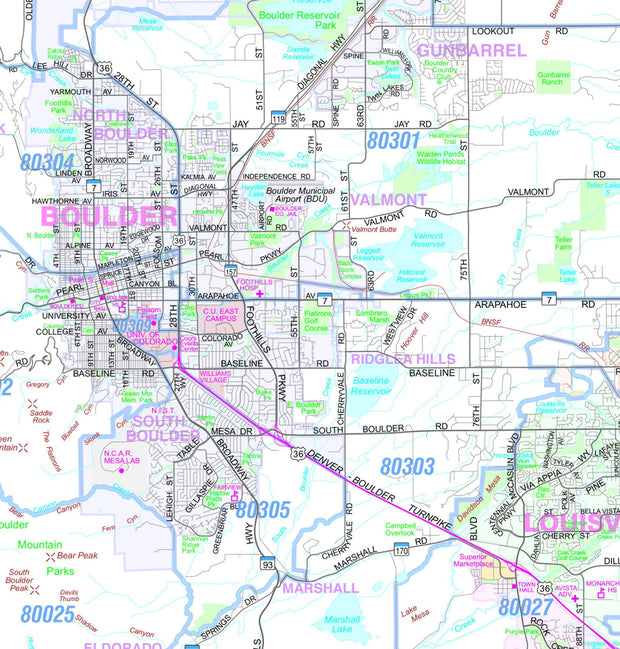
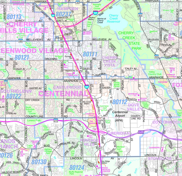
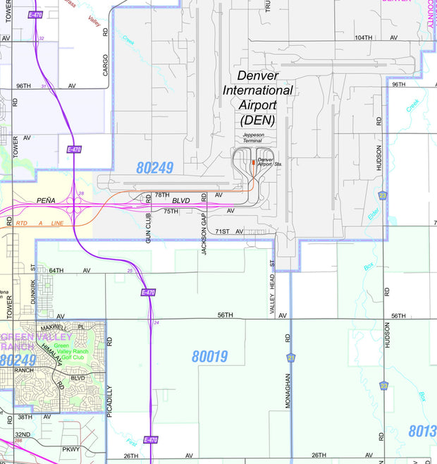
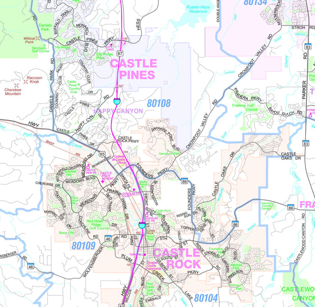
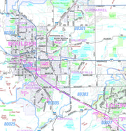
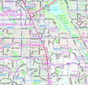
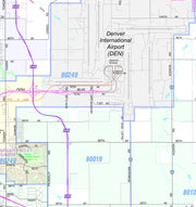
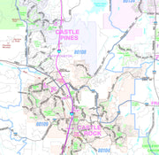
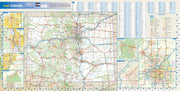
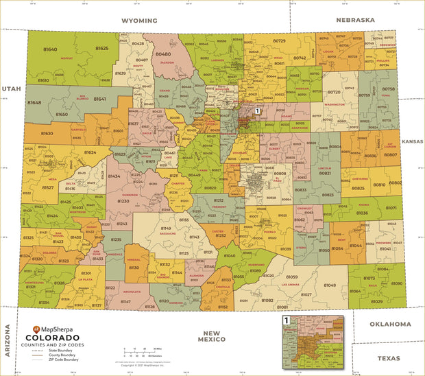
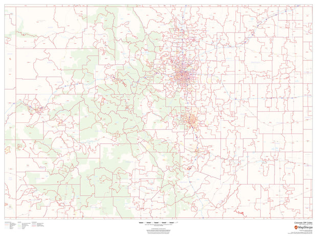
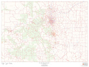
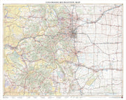
Our Greater Denver Metro Area laminated wall map includes the area from Longmont in the north to Castle Rock in the south, including Denver, Aurora, Centennial, Boulder, Broomfield, Brighton, Parker, Littleton, Lakewood, and Wheat Ridge, among other communities. The map shows counties, cities, towns, major and secondary highways, zip codes, and major points of interest. An index of community names is included.
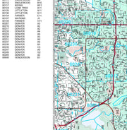
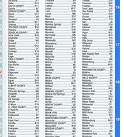
This map also includes a city index making this map both highly functional and decorative. Perfect for a home office, conference room or dispatch office, this map fits all your Denver mapping needs.
This map is rolled and shipped in a sturdy cardboard tube.