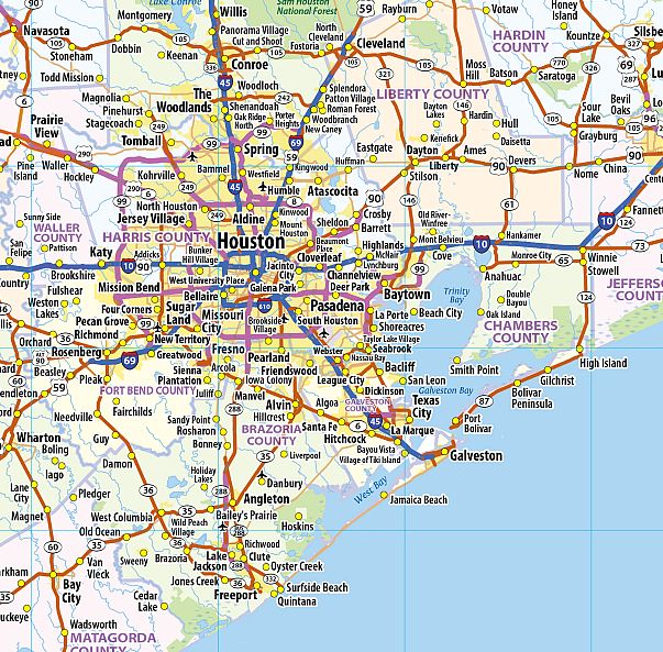
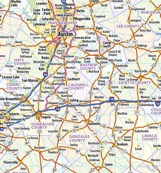
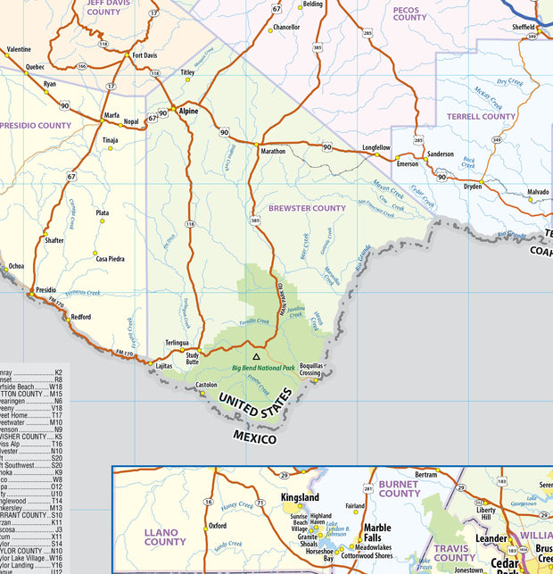
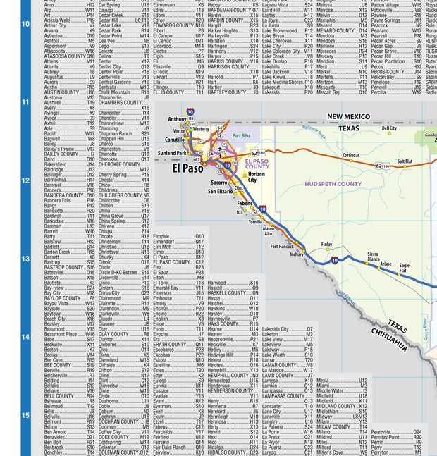
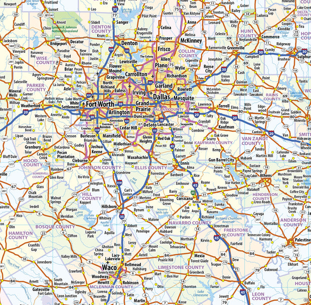
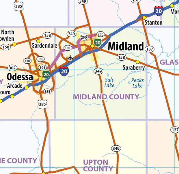
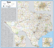
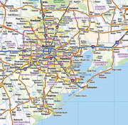
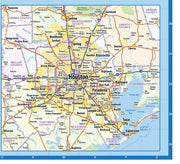
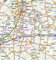
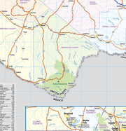
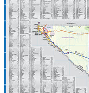
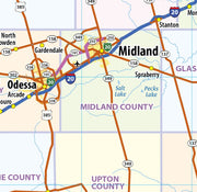
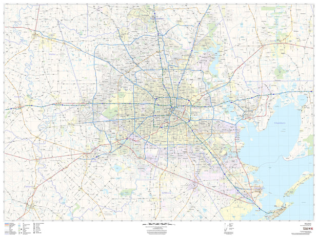
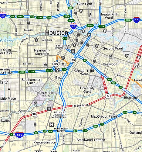
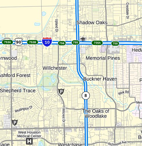
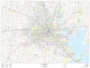
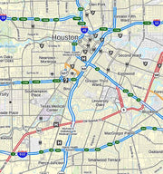
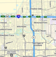
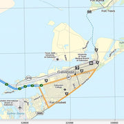
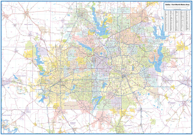
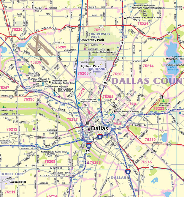
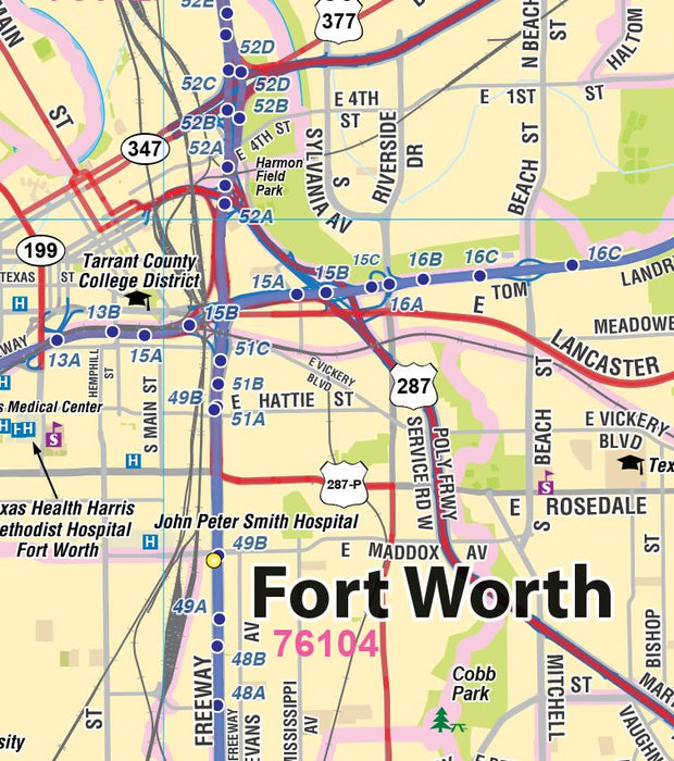
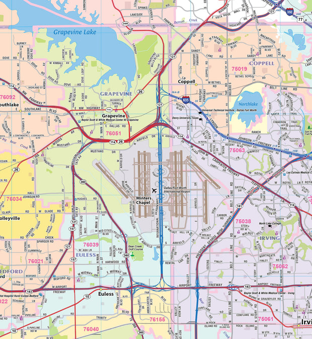
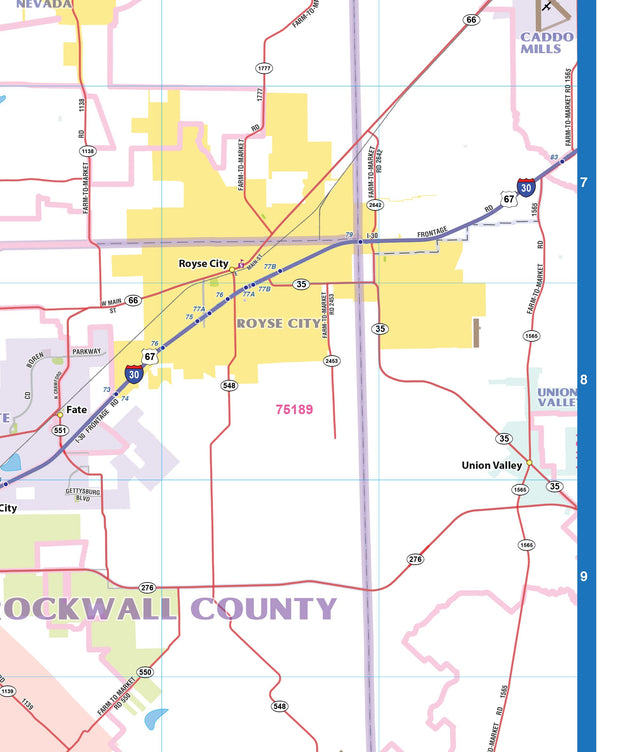
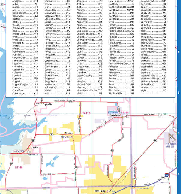
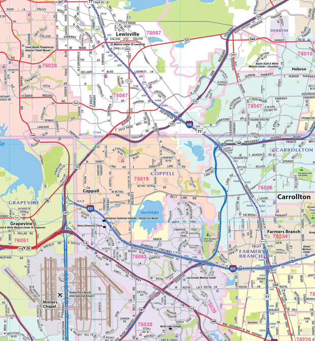
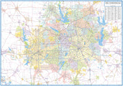
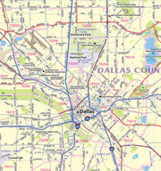
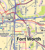
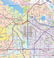
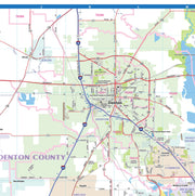
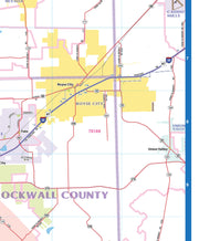
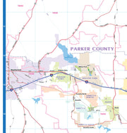
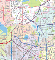
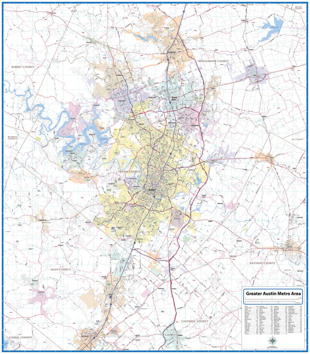
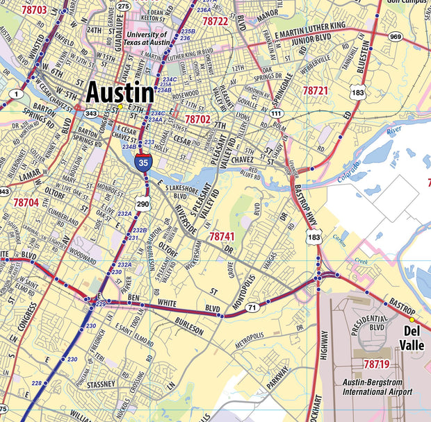
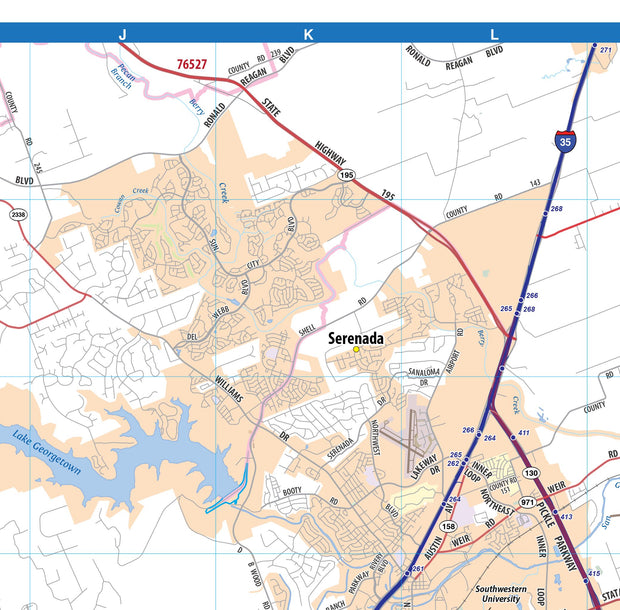
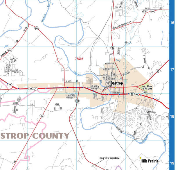
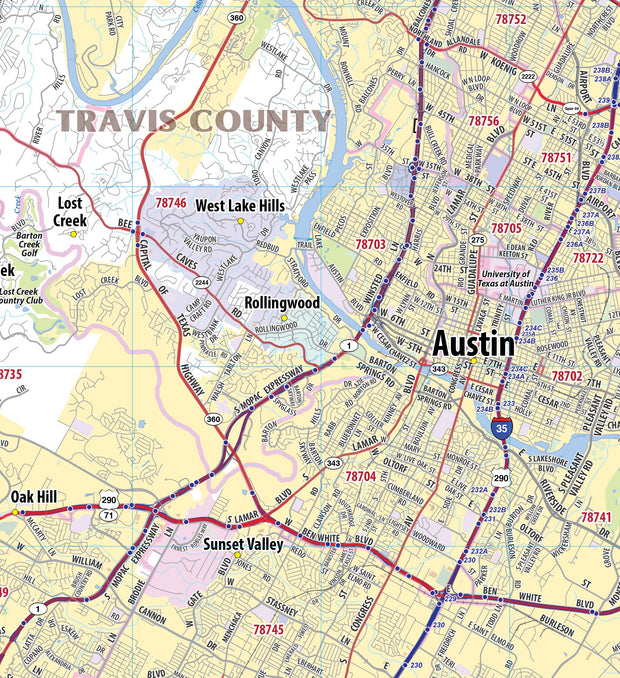
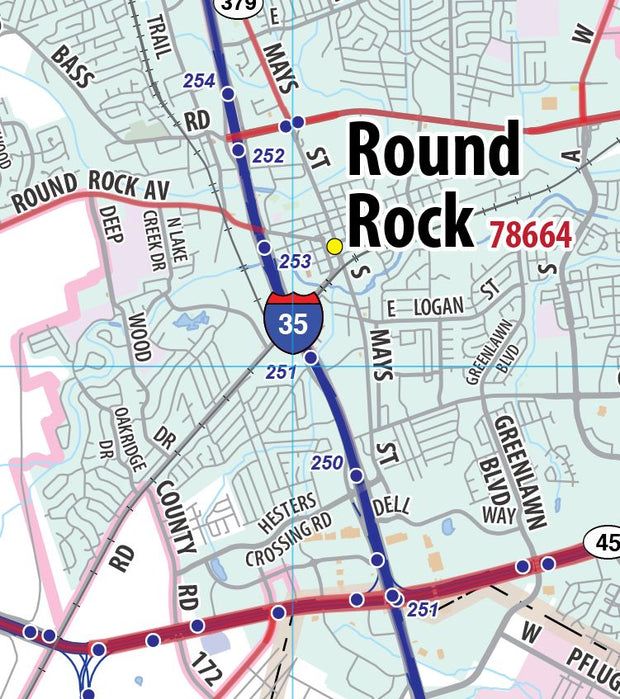
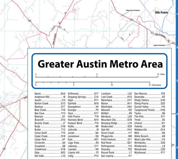
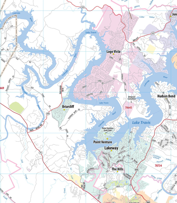
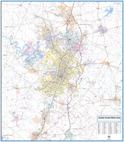
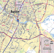
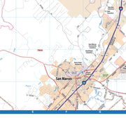
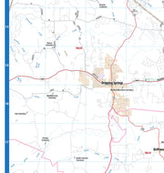
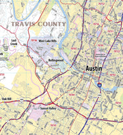
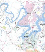
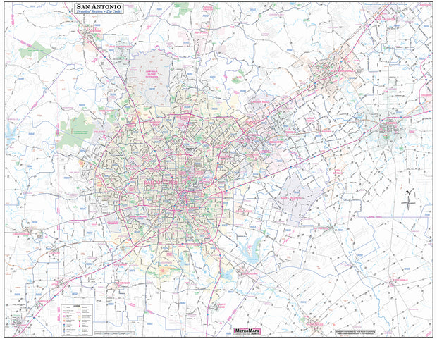
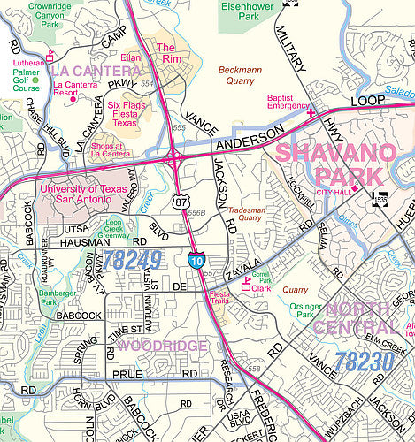
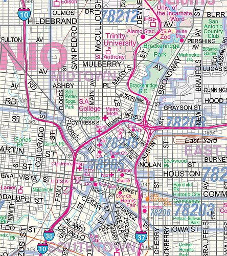
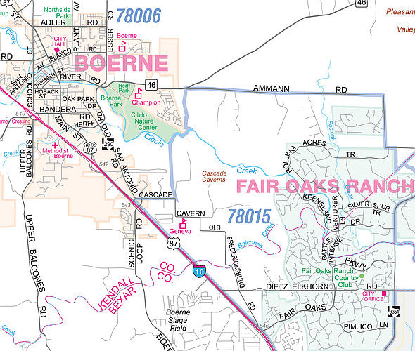
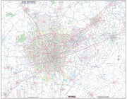
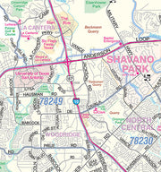
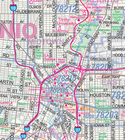
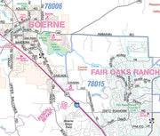
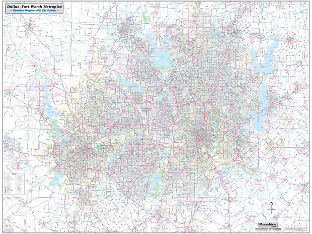
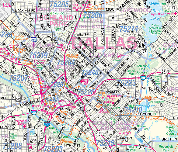
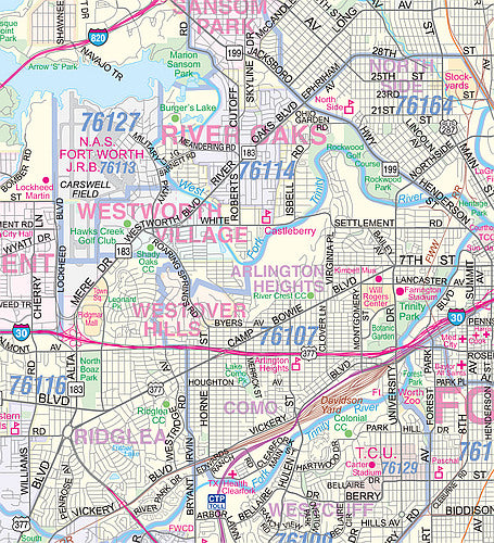
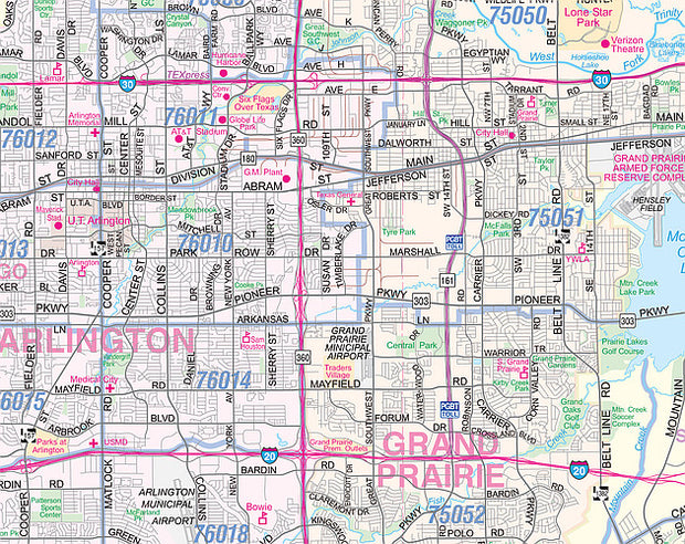
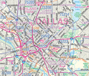
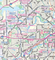
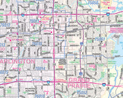
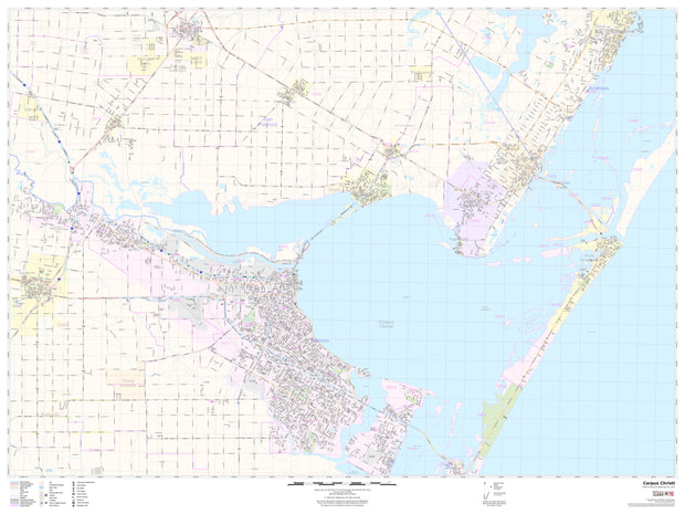
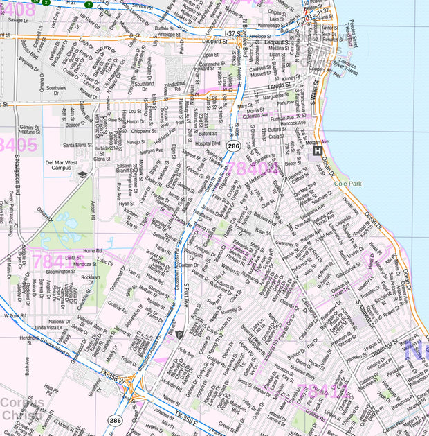
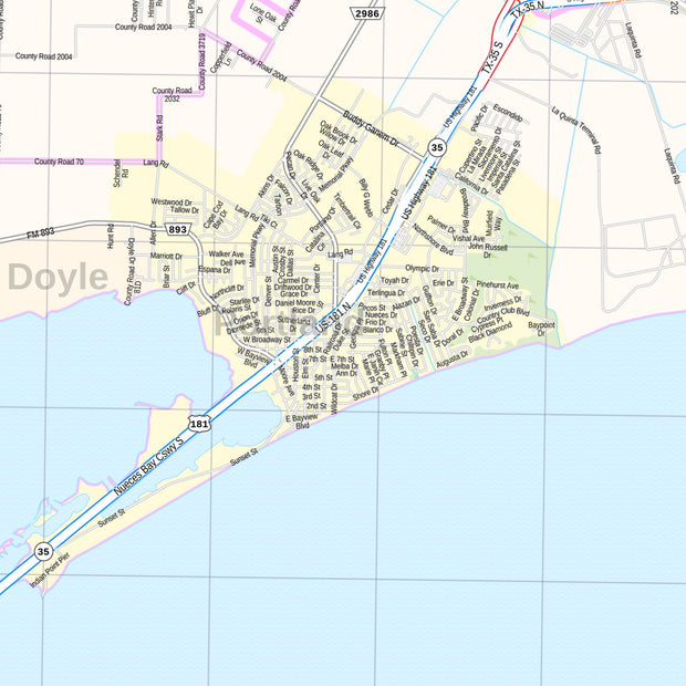
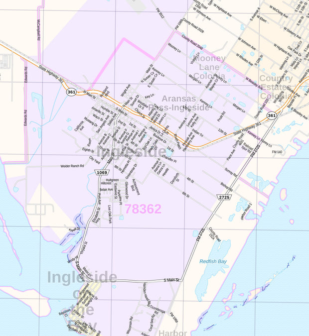
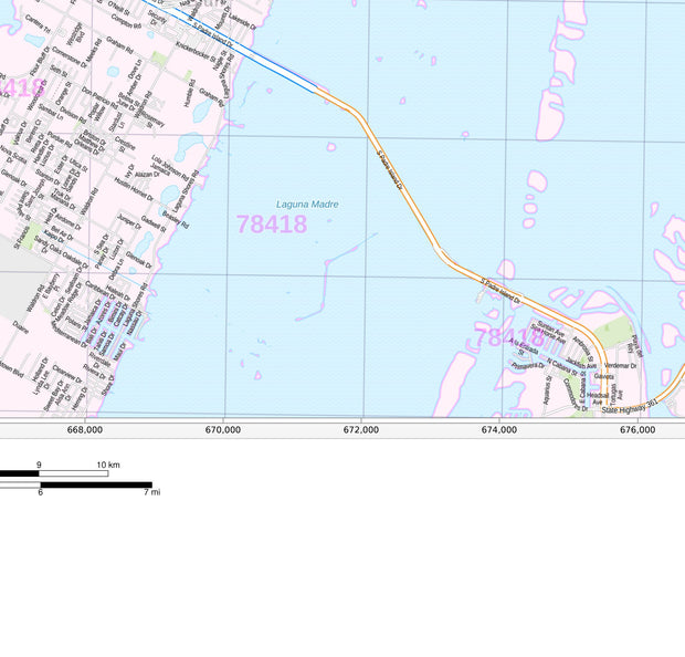
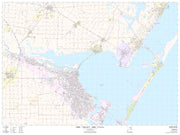
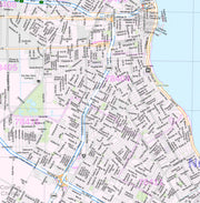
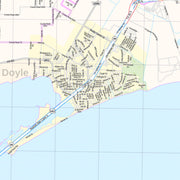
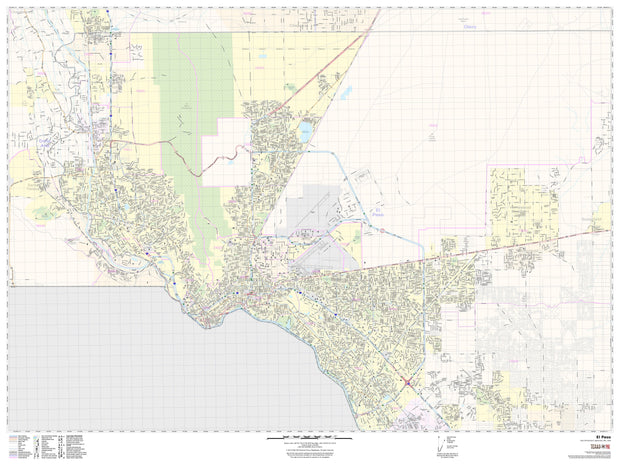
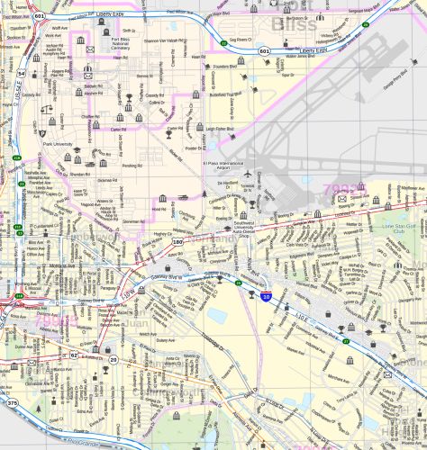
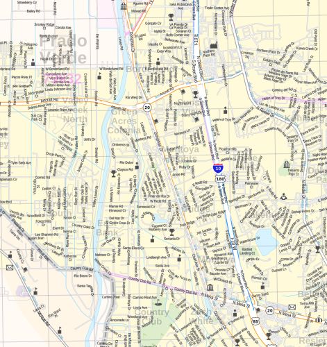
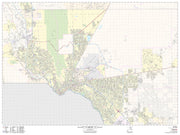
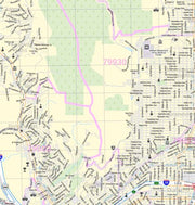
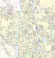
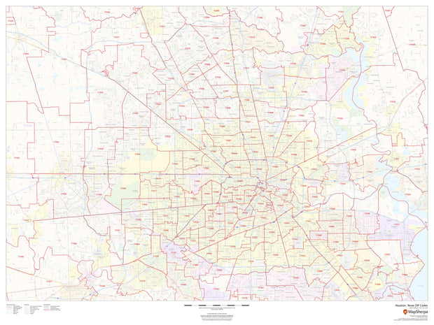
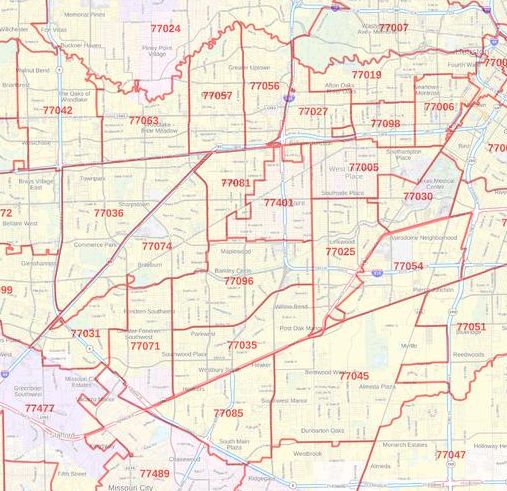
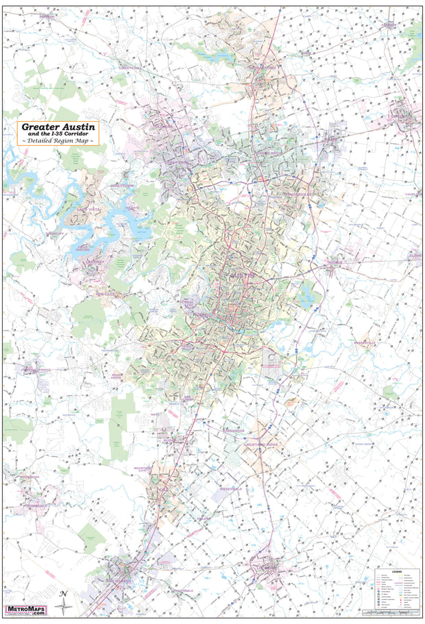
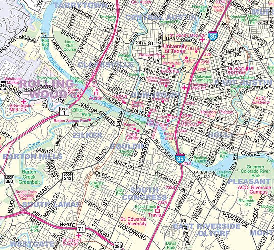
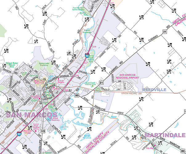
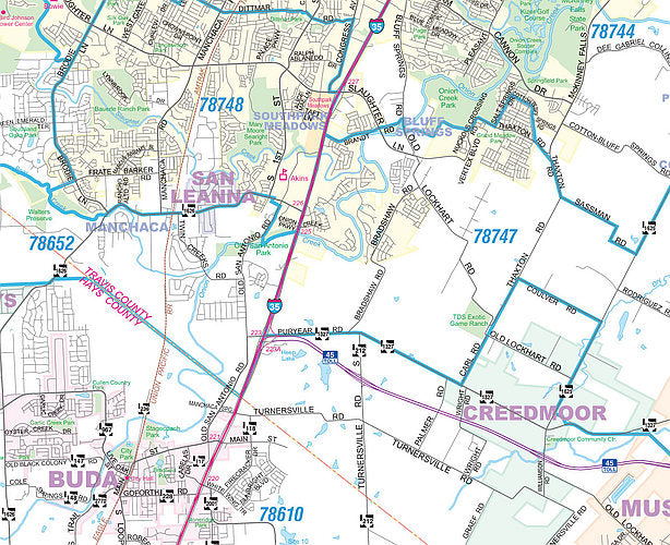
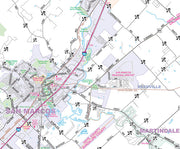
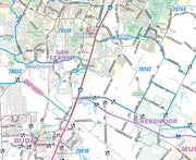
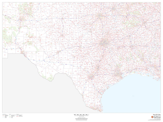
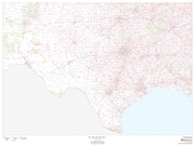
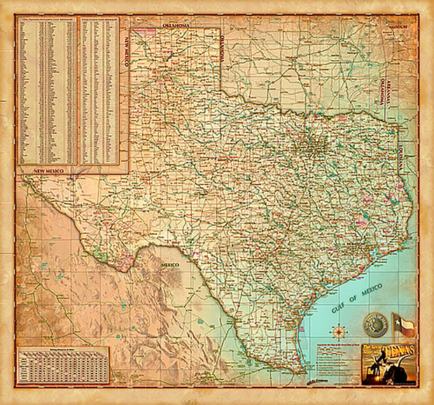
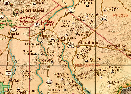
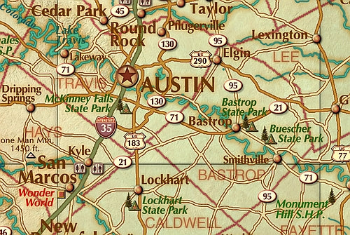
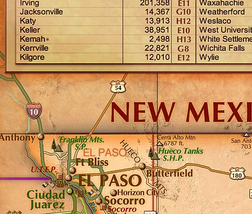
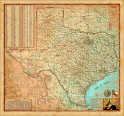
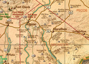
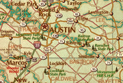
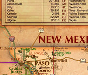
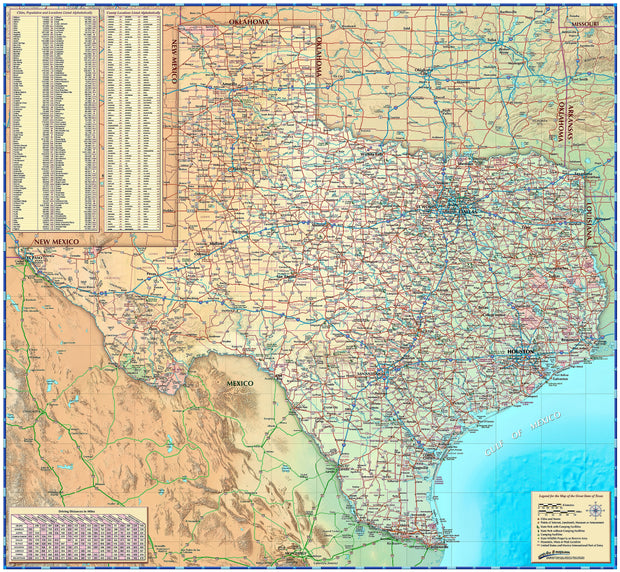
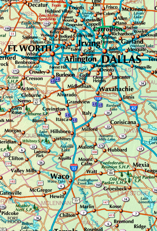
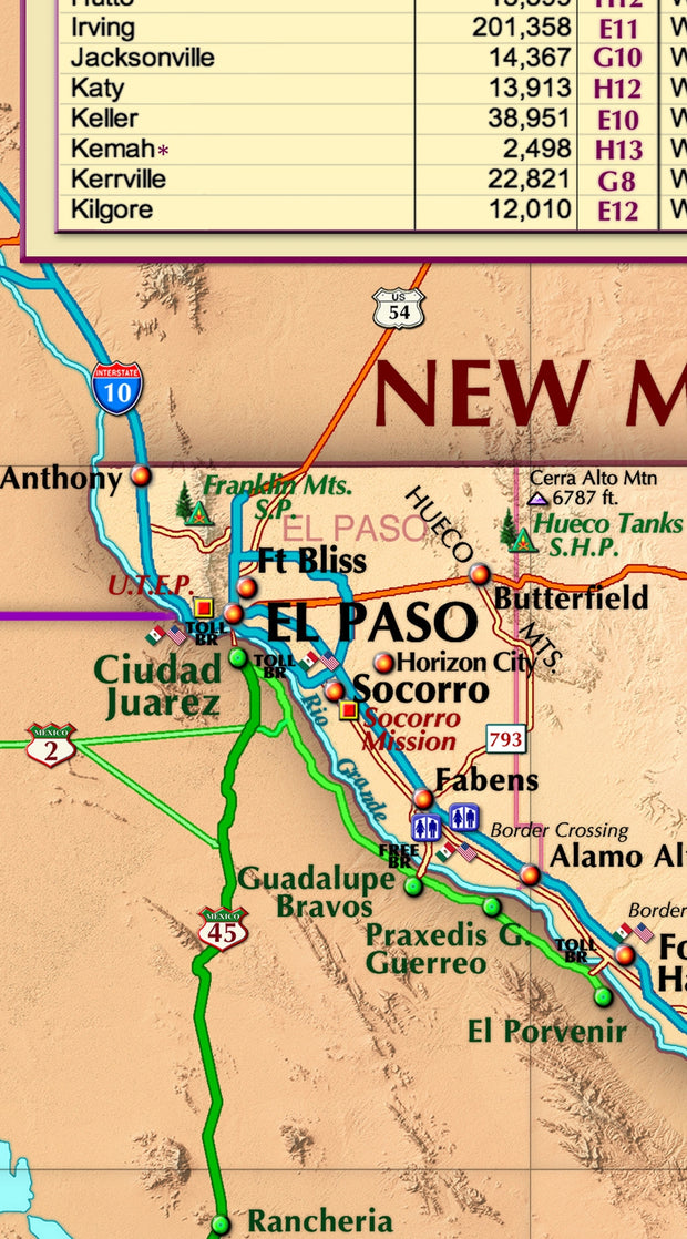
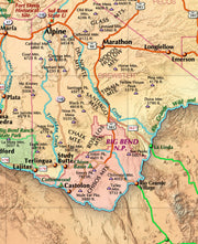
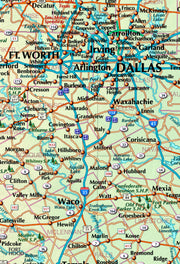
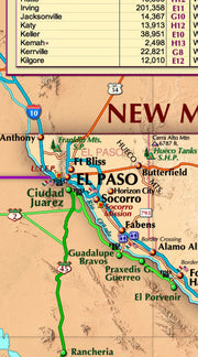
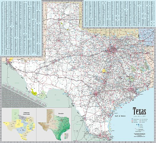
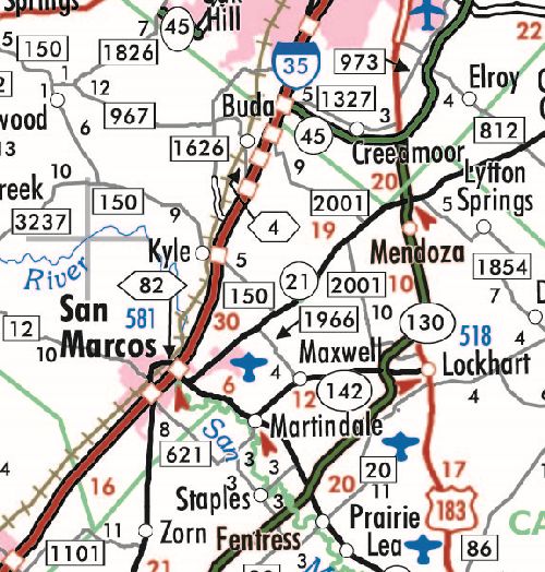
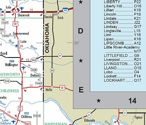
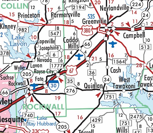
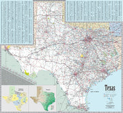
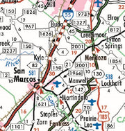
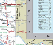
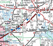
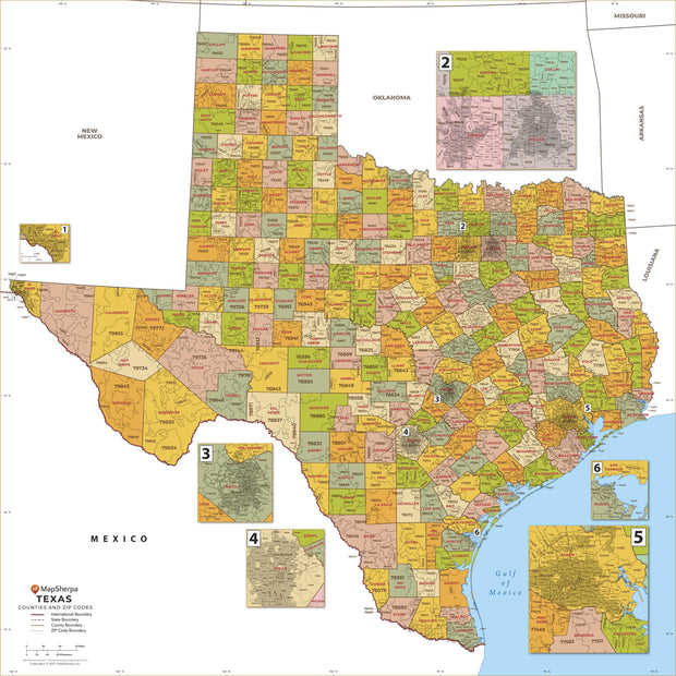
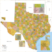
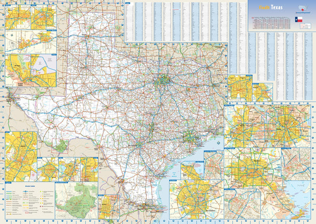
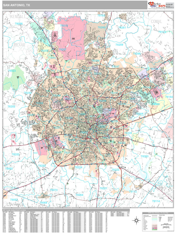
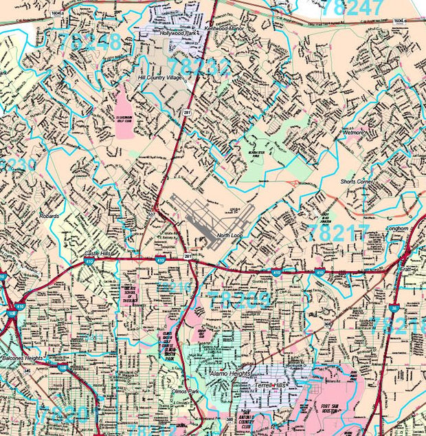
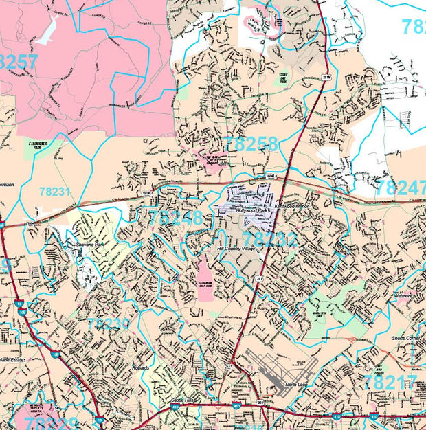
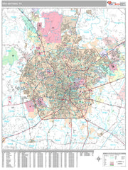
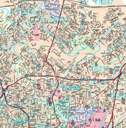
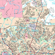
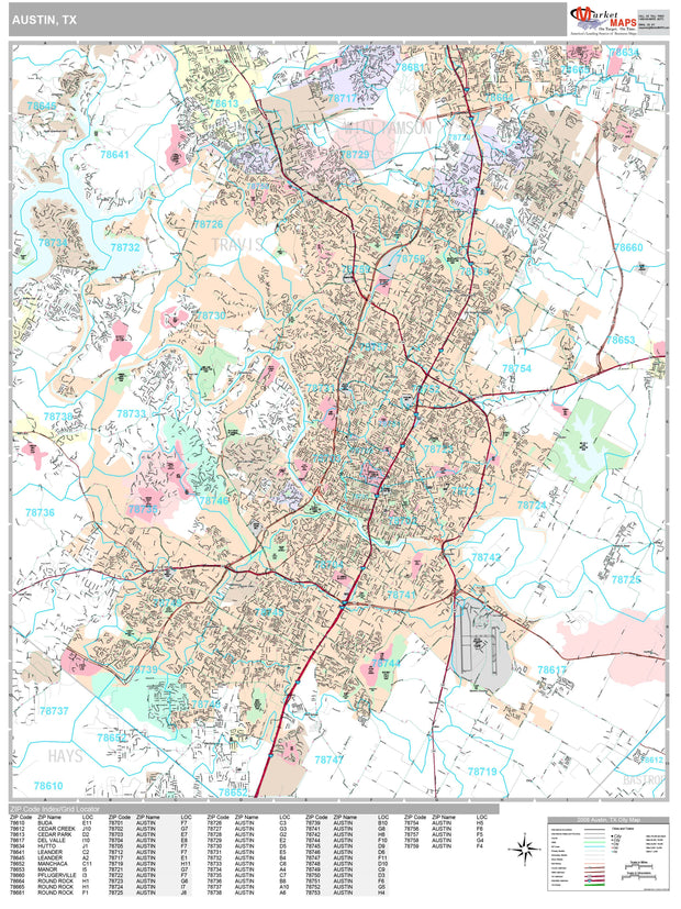
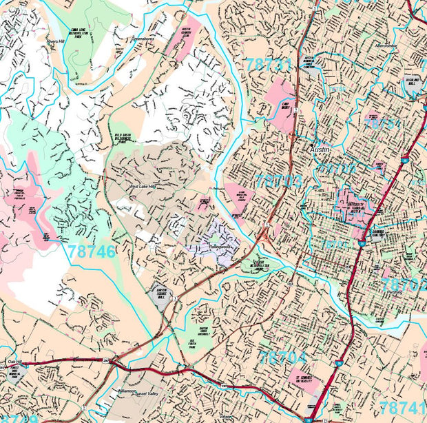
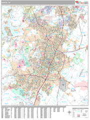
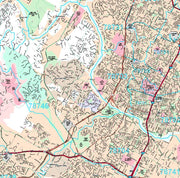
This colorful, easy-to-read state map of Texas identifies all major thoroughfares, secondary roads, freeway interchanges, rest areas, distance markers, landmarks, recreational areas, and more. Shaded relief on the state map provides a three-dimensional sense of Texas' topography. Detailed city inset maps of Abilene, Amarillo, Austin, Beaumont, Corpus Christi, Dallas / Fort Worth, El Paso, Houston / Galveston, Laredo, Lubbock, McAllen, Odessa / Midland, San Antonio, Texarkana, and Waco are based on the latest street information from our cartographic experts. The map also includes up-to-date insets of downtown Dallas, downtown Houston, downtown San Antonio, and Big Bend National Park. County and city indices make it simple to locate even the smallest town.
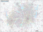
This map is rolled and shipped in a sturdy cardboard tube.